
Note: This is part of a multi-post series chronicling the many possible day hikes in the East Bay’s Briones Regional Park, a 1,600-acre tract nestled east of the Berkeley Hills, west of Mount Diablo, and south of Martinez and Carquinez Strait. I tackled these hikes over the course of several years living in the area between 2019 and 2024. For others in this series, see here.
Covering 1,600 acres of former ranching territory in northern Contra Costa County, Briones Regional Park offers some of the most extensive hiking of all the many parks in the East Bay. Here a network of mostly fire roads weave in and out of woody valleys, climb to panoramic peaks, and offer ridgetop views of the Berkeley Hills, Carquinez Strait, Mount Diablo, and Ygnacio Valley. Access points are plentiful, including the Alhambra Creek (map), Bear Creek (map), Briones Road (map), Lafayette Ridge (map), Springhill Road (map), and Reliez Valley (map) Staging Areas. Each of these spots offers an entrée into the scintillating hills, which tend to be more pleasant during the winter and spring, when rains leave the hills lush with verdant green hues and wildflowers (and cool temperatures scare away the rattlesnakes!).
Reliez Valley Staging Area
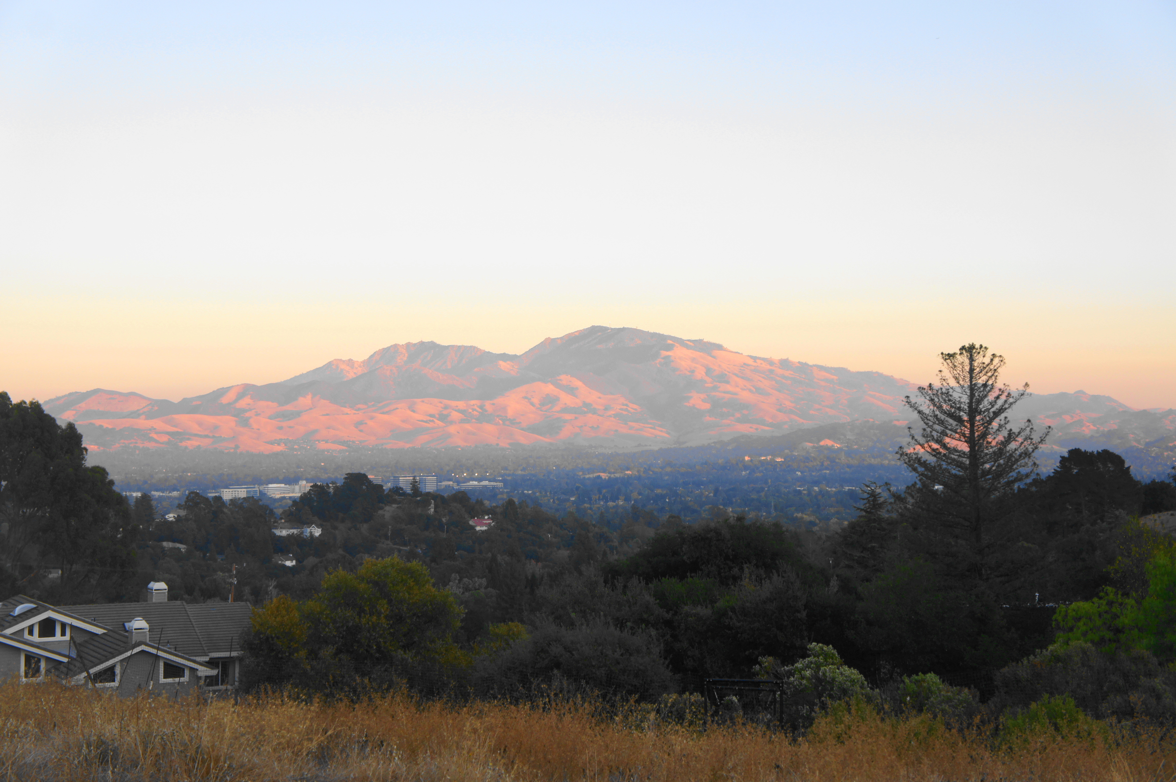
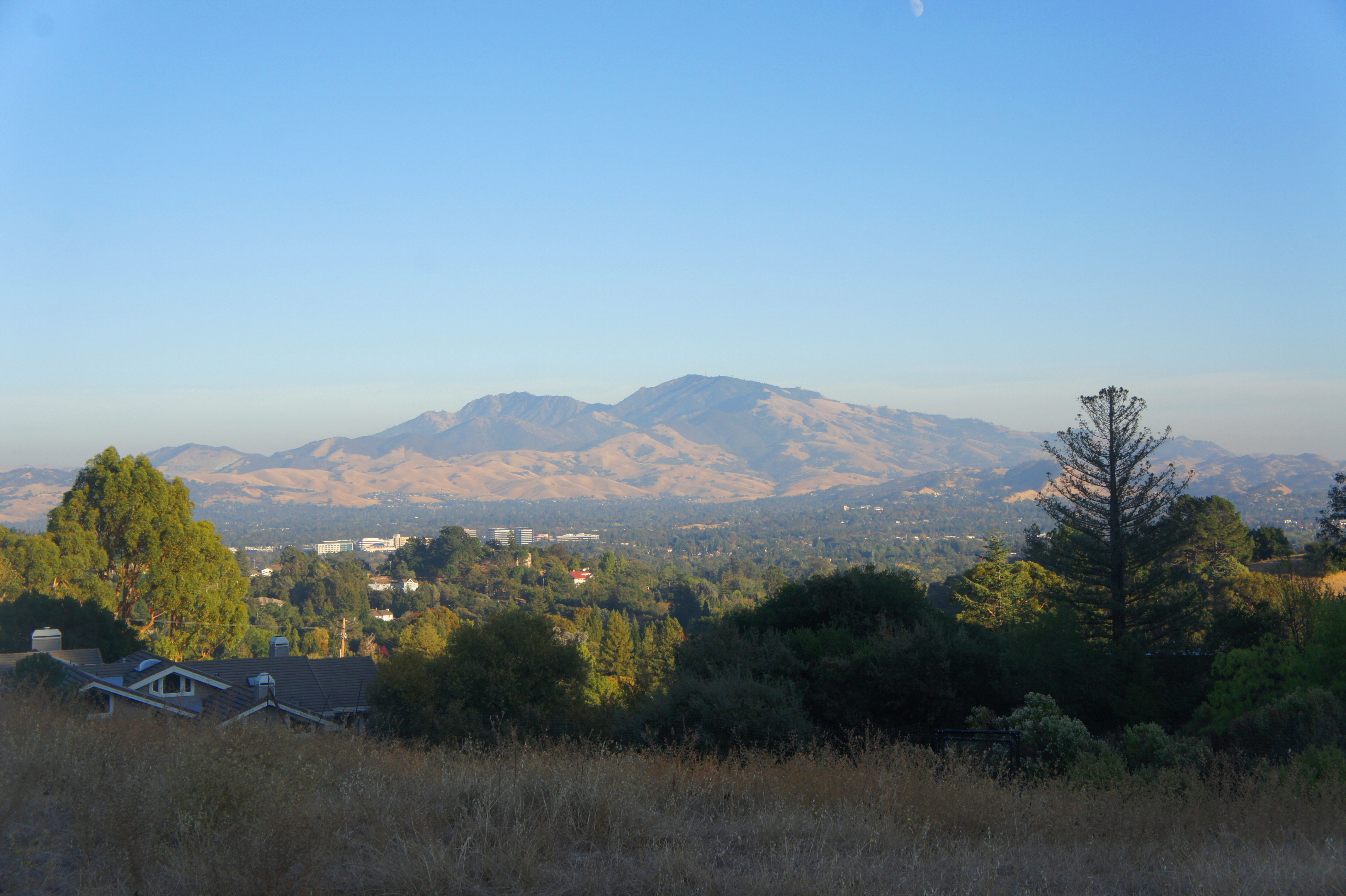
In this post, I cover two hikes from the Reliez Valley Staging Area (map), a small trailhead in a residential area with a single entry—the Blue Oak Trail—into Briones Regional Park. Despite the longer lead-in, this is still one of the quickest ways to reach Briones Peak (1,483’), the highest point in the park. Enjoy the eastward views across Ygnacio Valley to Mount Diablo and beyond. On a clear day, one can see all the way across the Central Valley to the Sierra Nevada.
Blue Oak Trail Loop (3.2 mi. stem-and-loop)
Difficulty: Moderate
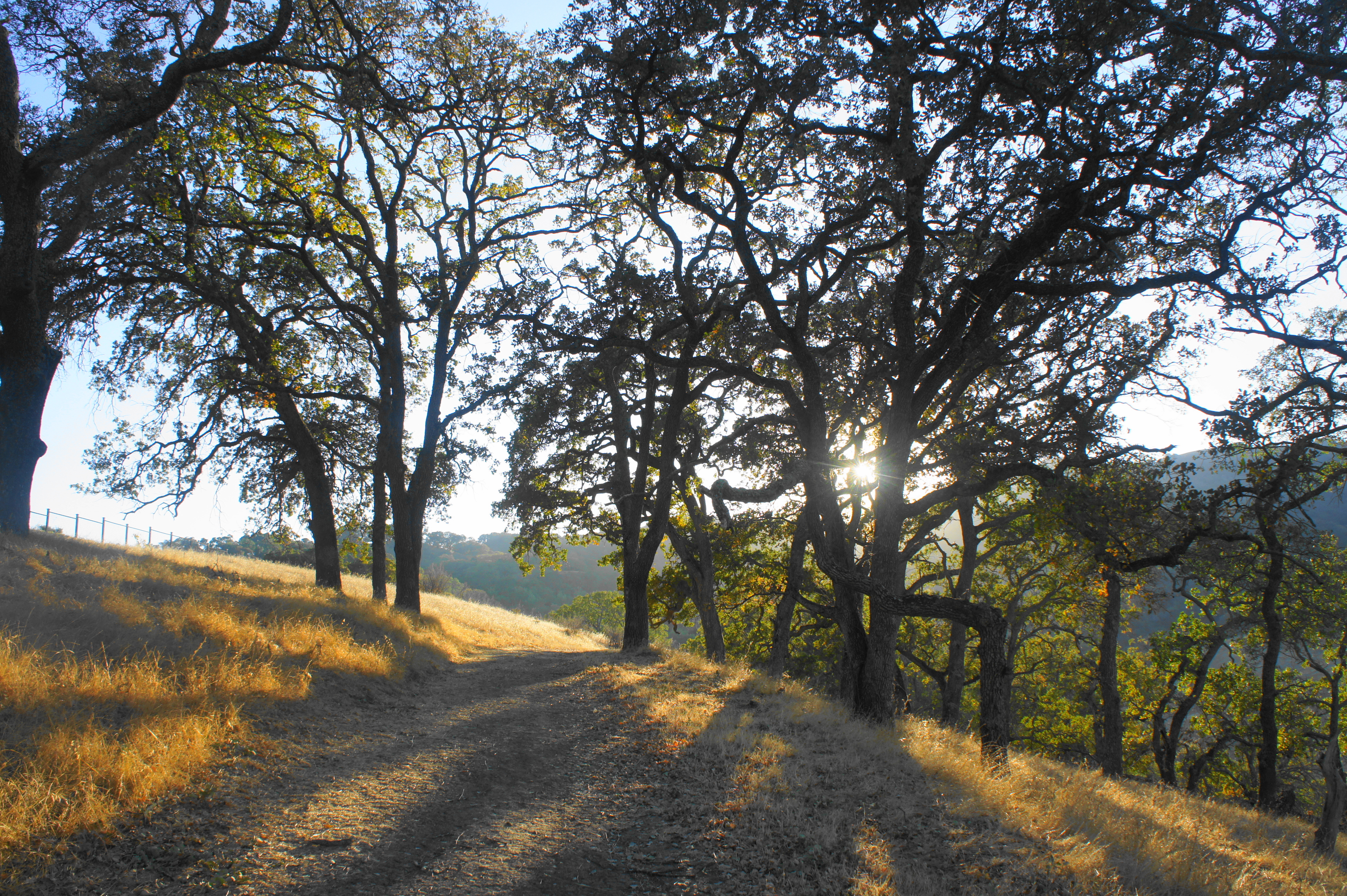
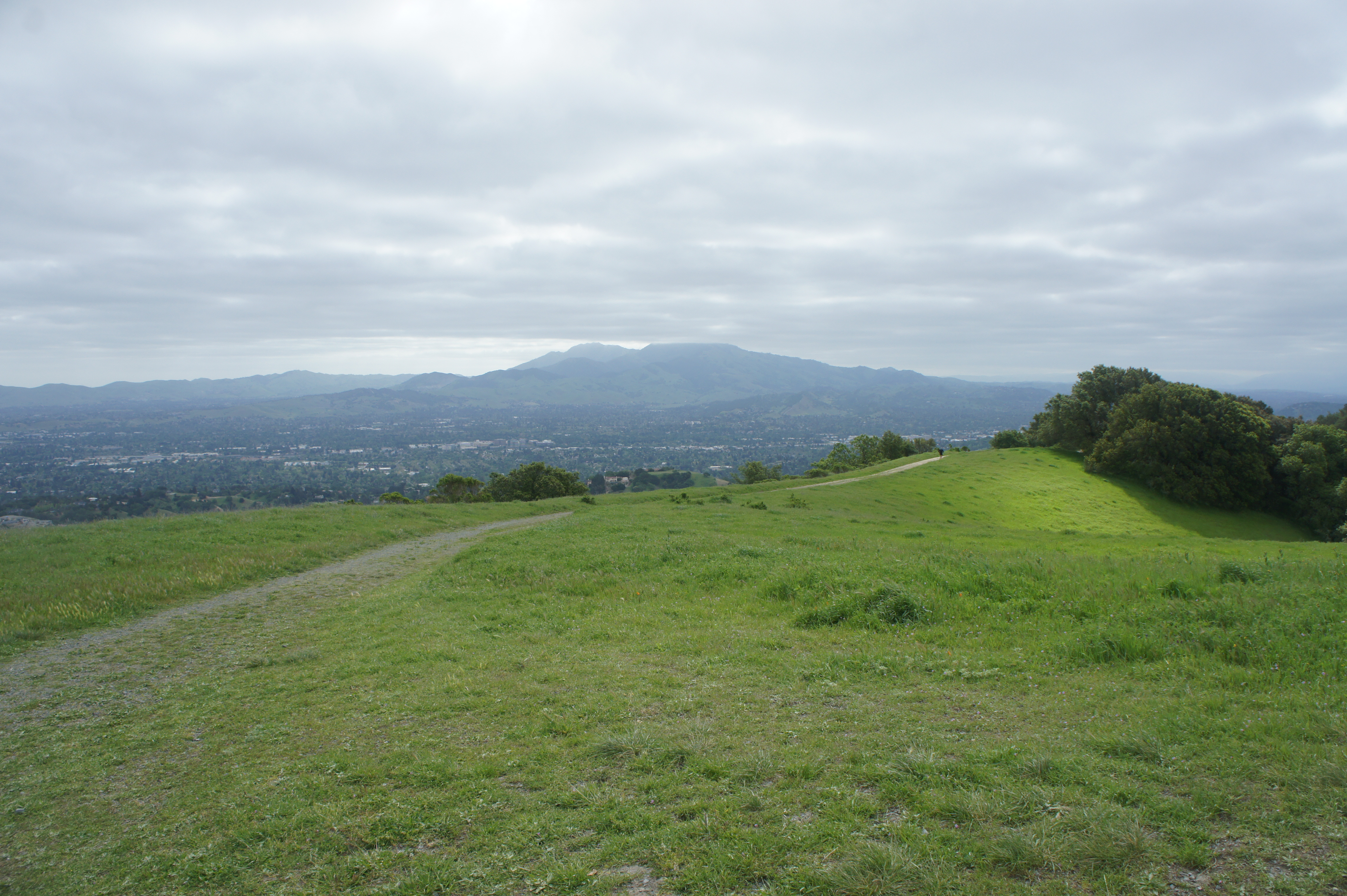
This relatively short stem-and-loop hike follows a scenic ridgeline before dropping into a shady gully and climbing to an east-facing hillside with excellent views of Mount Diablo. Follow the Blue Oak Trail – the one path that leaves from Reliez Valley Staging Area – as it climbs in fits and starts to mount a grassy ridge leading southwest into the park. The trail crests after about a 200-foot elevation gain, then drops into a wooded valley, reaching a junction at the one-mile mark (trail marker #52). Bear left on the Blue Oak Shortcut Trail, which traverses a narrow, intimate, and shady ravine while climbing to reach another junction at 1.3 miles. Bear right on the Spengler Trail, climbing to the hike’s high point (about 650 feet above the trailhead). Terrific vistas of Mount Diablo open up around the next junction at 1.75 miles – bear right on the Blue Oak Trail as it descends back into the original valley and returns to the junction at marker #52. Bear left, retracing the original mile-long trek back to the staging area.

Briones Peak and Table Top-Spengler Trail Loop via Blue Oak Trail (6.0 mi. stem-and-loop)
Difficulty: Strenuous
This strenuous hike climbs nearly 1,200 feet to the summit of Briones Peak (1,483’), the highest point in the park, then traces a scenic loop around the eastern flanks of the Briones Hills. Follow the steeply-ascending Blue Oak Trail, stay left on the Blue Oak Shortcut Trail, and then bear left again on the Spengler Trail at 1.3 miles. From here the double-track route climbs sharply, reaching another fork at 1.6 miles (Post 53). Bear right and ascend to remarkable vistas of Martinez, Carquinez Strait, and the Diablo Range. Continue right for 2/10 mile to the top of Briones Peak, the most disappointing of the park’s named peaks for its shrouded views but a worthy landmark because of its status as the park high point. Return to the open vistas and bear south on the Table Top Trail, following it for 7/10 mile. Then head left, following the Spengler Trail as it descends a spectacular, oak-studded ridge, drops sharply to the north, then winds back to the junction at Post 53. Bear right and retrace your steps back to the Reliez Valley Trailhead.


Pingback: Top 10 Hikes in Briones Regional Park – Live and Let Hike