

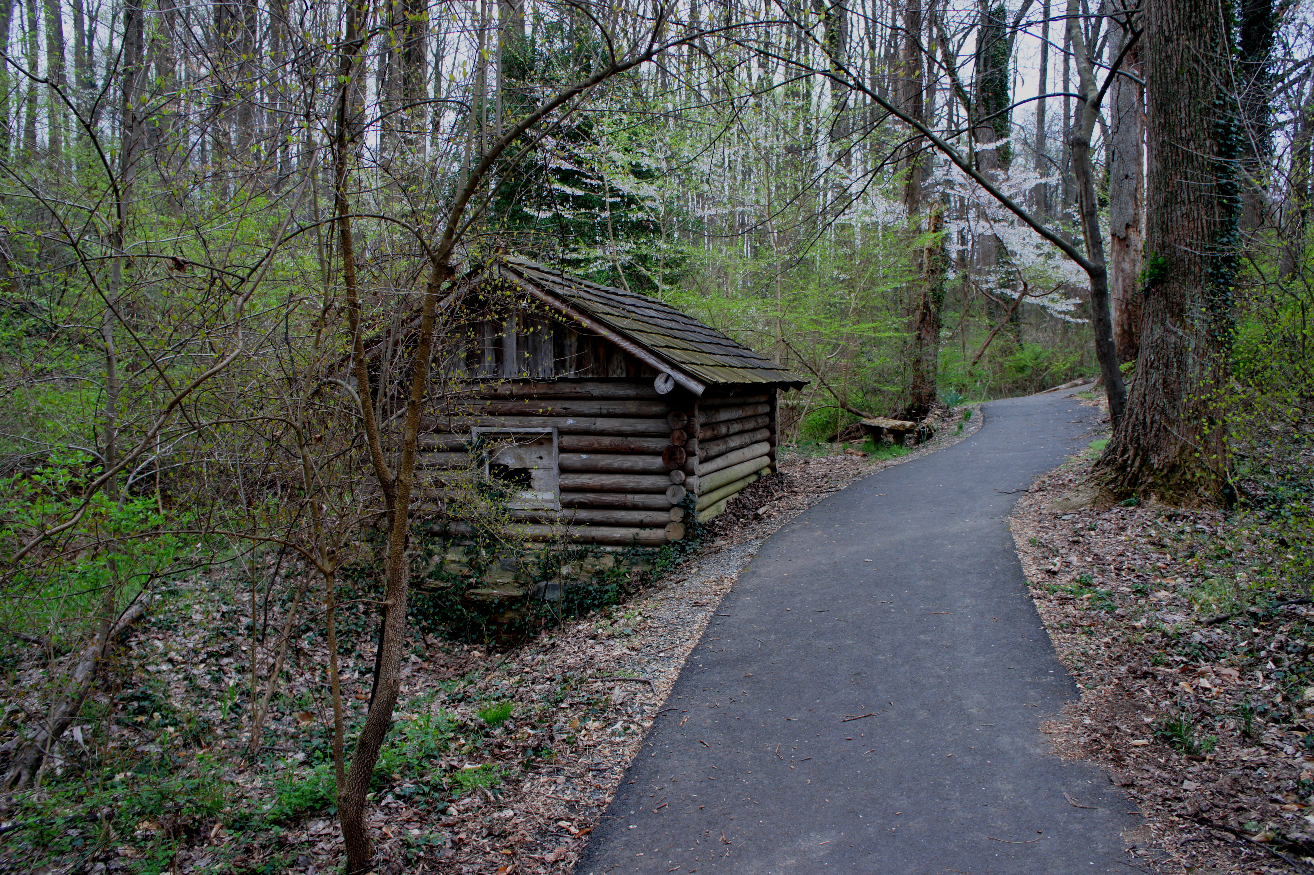
Compared to other hikes in northern Virginia, the following 2.5-mile circuit hike through Bull Neck Run Stream Valley in McLean is a bit of a roller coaster: while mostly paved, the trail rarely stays level. The result is a minor workout and decent scenery as the trail follows a pleasant stream through one of Washington, DC’s ritziest suburbs. While mostly paved, the constant ups-and-downs will pose a challenge for strollers and wheelchairs. The Bull Neck Run Loop starts and ends at the Spring Hill Recreation Center, conveniently located near the intersection of I-495 and the Dulles Access Road.

The hike
Parking at the Spring Hill Recreation Center in McLean’s Spring Hill Park, hikers should look for a concrete path bearing north, off to the east (right-hand side) of the building itself. The paved sidewalk winds around a left-hand curve to the back of the rec center, then heads north again toward a pair of soccer fields. Follow the path as it weaves around a small marshy pond (on the right) and the first of the two soccer pitches (on the left). At the northeast corner of the first field, an unpaved path enters from the woods on the right—bypass this for now (saving it for the return route).

Edging around the second soccer pitch, look for an asphalted path bearing right into the forest. The trail begins immediately to drop down into the upper reaches of the Bull Neck Run Stream Valley. It takes a couple minutes until water appears—the source of Bull Neck Run. With houses visible up the hillside on the left, the route briefly levels off then crosses a tributary of Bull Neck Run at around 4/10 mile.

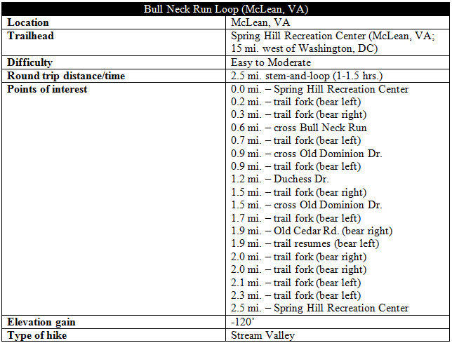
Then the fun begins: the path drops 10-20 feet, passes a quaint log cabin/shed on the right, then ascends to the top of a stone-reinforced wall along the left bank of Bull Neck Run. Fallen logs clog the streambed on the right as the trail climbs once again, only to turn sharply downhill to the first crossing of Bull Neck Run.
Traverse the bridge, bear left, then cross a second bridge over a tributary as the stream valley opens up into a wooded floodplain. Bear uphill to a trail junction, situated around ¾ mile from the start. Turning left, the path follows the right bank of Bull Neck Run as it carves a set of hairpin bends. The sound of traffic ahead serves as a sign that Old Dominion Drive is near. Climb to the intersection of Old Dominion and the residential Old Cedar Road at 8/10 mile.
From here, bear left and follow a paved sidewalk westward, paralleling Old Dominion for 100-150 yards, then cross the street to the other side. Look for the continuation of the Bull Neck Run Trail as it drops steeply down a hill back to the stream. Bear left at the trail fork—do not cross the bridge—and head northward as the path follows Bull Neck Run downstream. For a couple hundred yards, the trail turns to gravel, then dirt, before the pavement resumes again. At 1.1 miles, the path leaves the creek and climbs steeply up the hillside to the left, ending with steps leading to Duchess Drive.

Turn around here—as the trail goes no further—and retrace your steps back to Old Dominion Drive. Cross the street and continue 2/10 mile back to a trail junction; bear left, entering new territory. The trail here climbs through the woods for another 2/10 mile up to Old Cedar Road. Bear right briefly on the street, walk a few dozen yards, then look for the continuation of the trail on left. The route threads a woody sliver between McLean mansions, reaching another junction around two miles from the start.
Bear right, then right again at the subsequent junction seconds later; the trail leading left extends south into McLean Hunt Estates Park. At 2.1 miles, the trail climbs level with the end of a cul-de-sac on the left, then plunges into a dense thicket of trees and undergrowth. The pavement ends as the trail descends a hillside to a muddy basin. Bear southwest, climbing again to an open meadow replete with thorny bushes. The narrow trail ends with a gradual descent, reemerging at the paved path paralleling the first soccer pitch in Spring Hill Park.

Bear left and follow the path around the soccer field, returning to Spring Hill Recreation Center. Allot around 1-1.5 hours for this moderately-difficult walk in suburban McLean.

Wish I could handle that hike, but don’t think so