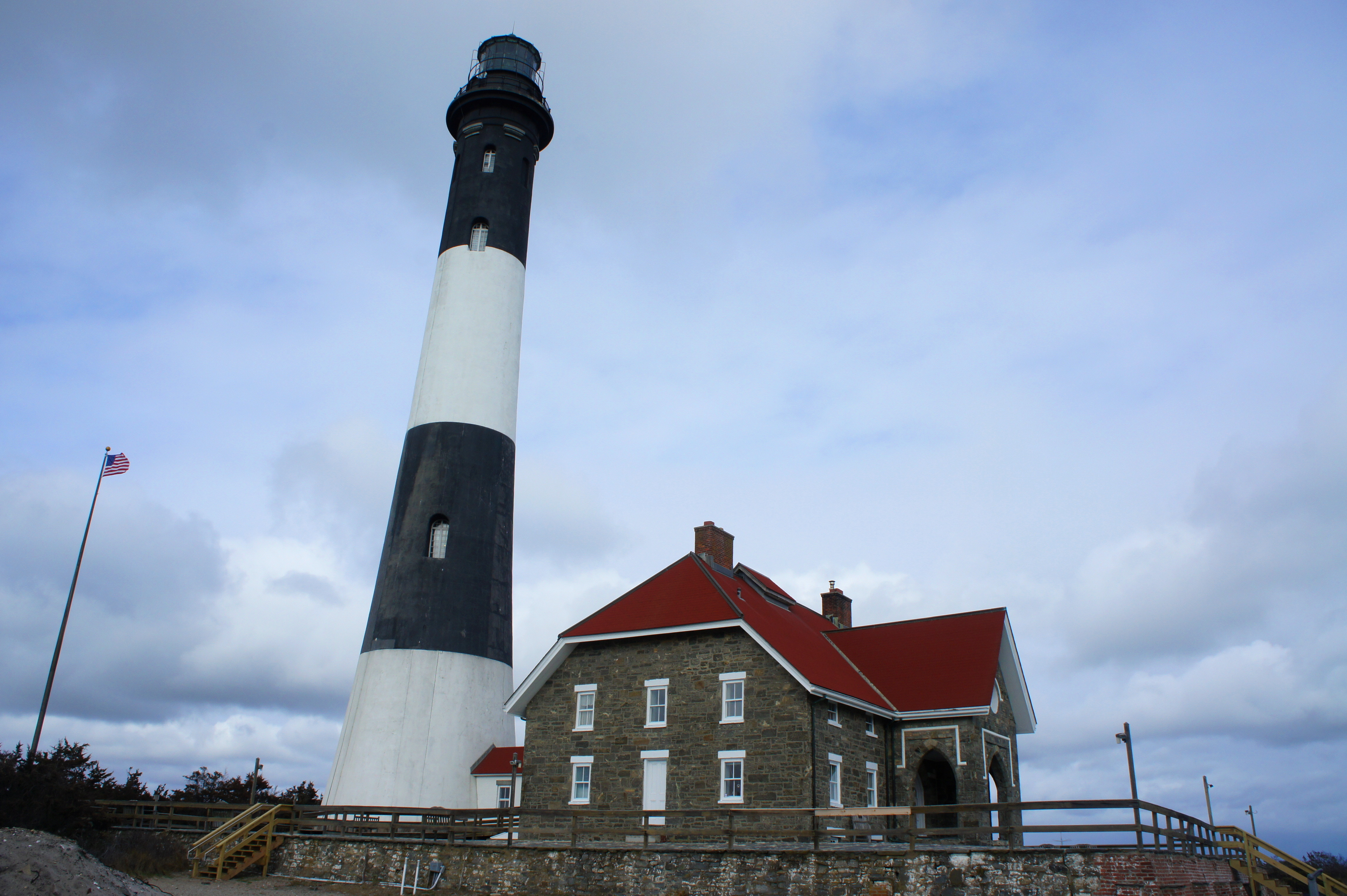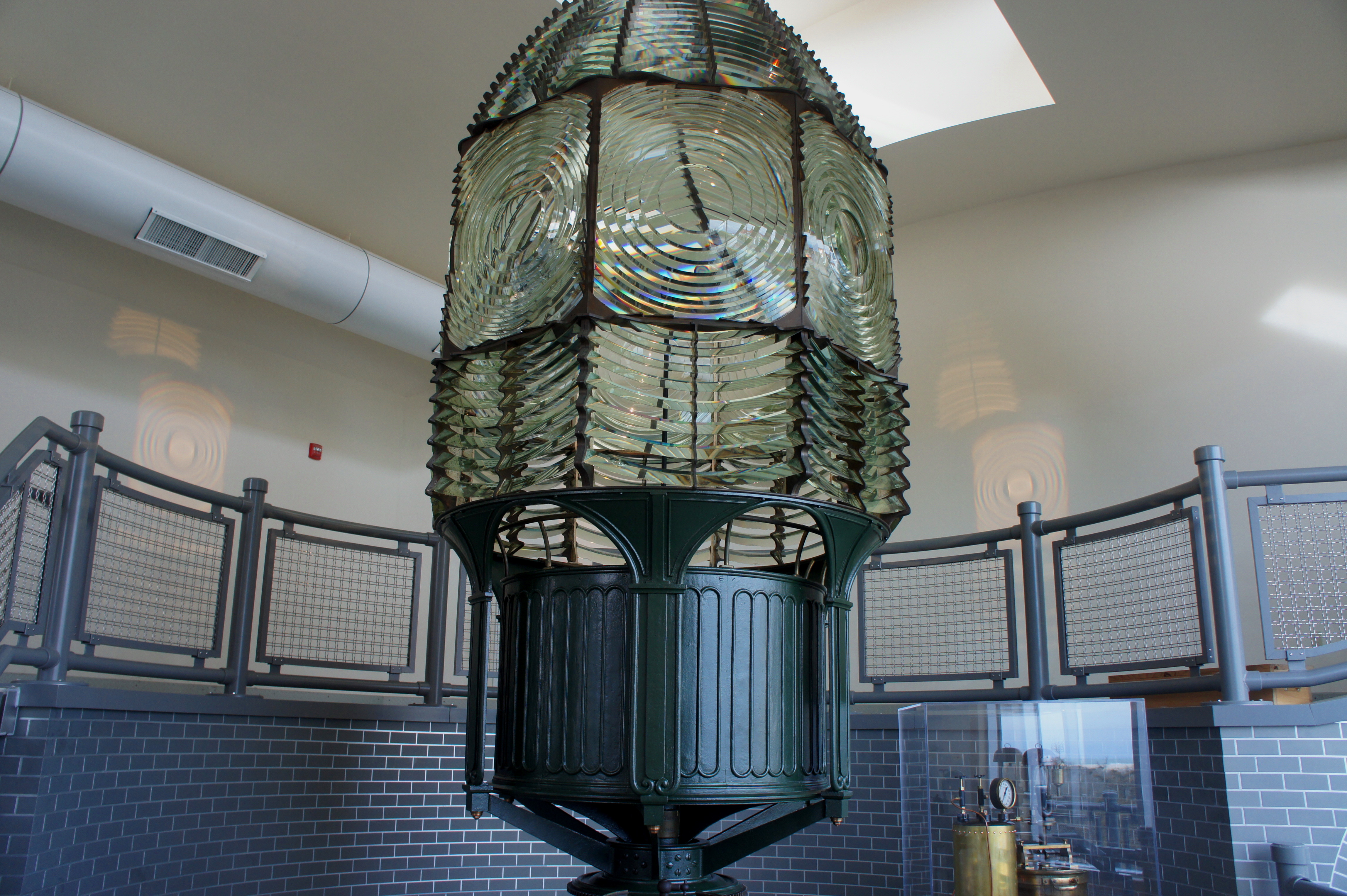

Stretching for approximately 31 miles, Fire Island shields part of New York’s Long Island from the fierce waves of the Atlantic Ocean. Now managed by Fire Island National Seashore, the Fire Island Lighthouse—situated near the west end of the barrier isle—is a popular destination for New Yorkers seeking respite from the city. The original lighthouse, constructed in 1826, served for decades as the first sight of land for travelers crossing the Atlantic from Europe; the new tower—still standing today—was built in 1858 and was not decommissioned as a navigational aide until 1973.
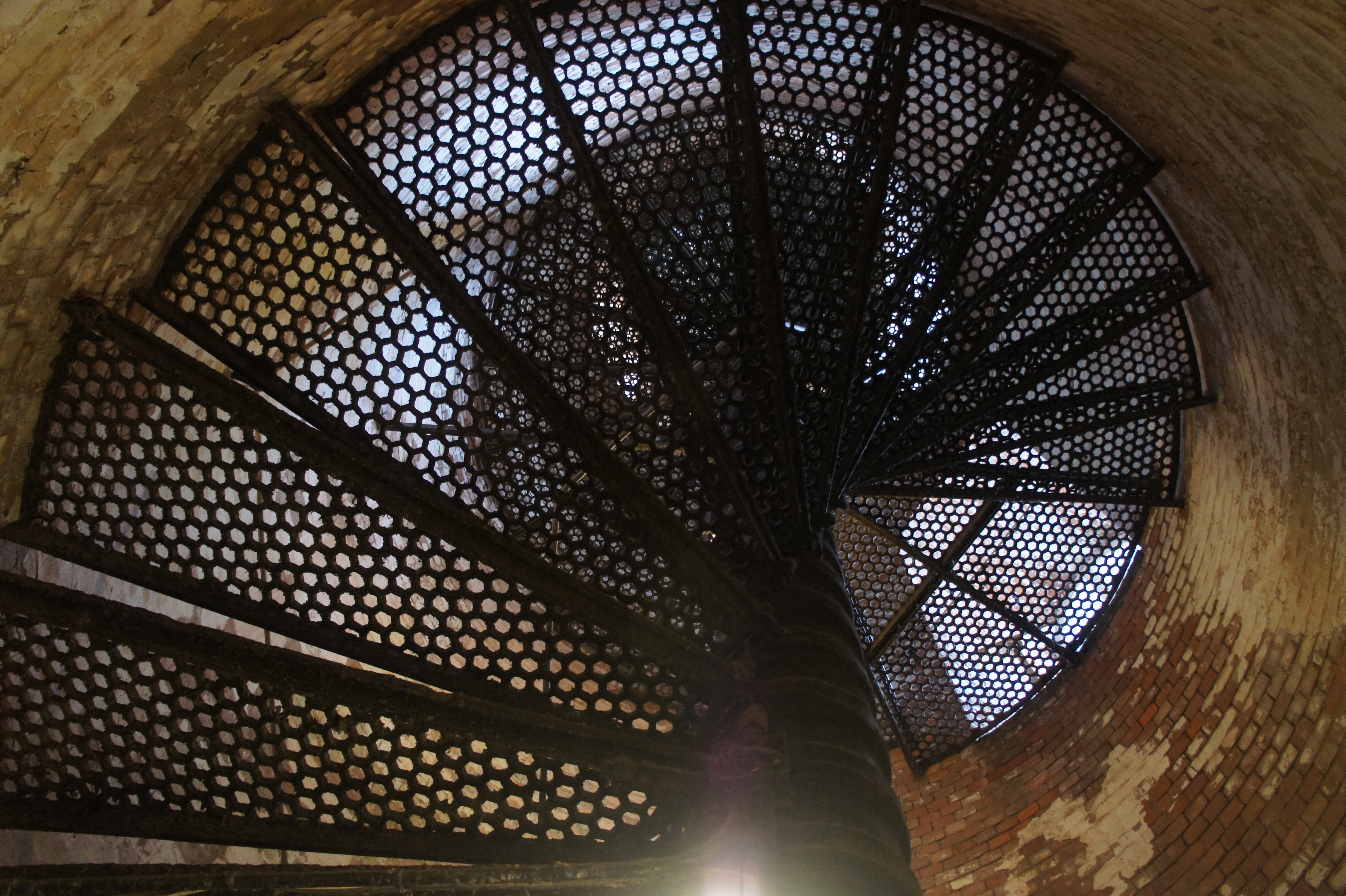
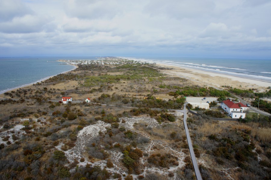
From Manhattan, it is around a 1.5-hour drive to Fire Island, followed by an easy, ¾-mile walk from the parking area to the lighthouse. The National Park Service offers daily access to the top of the tower for $8/person, a worthy price for one of the best viewpoints on Long Island. On a clear day, Manhattan is visible in the distance, while the beach extends for miles to the east and west. Down on the surface level, marshlands cover much of the island—an ever-transforming landscape that was altered by Hurricane Sandy in 2012.