
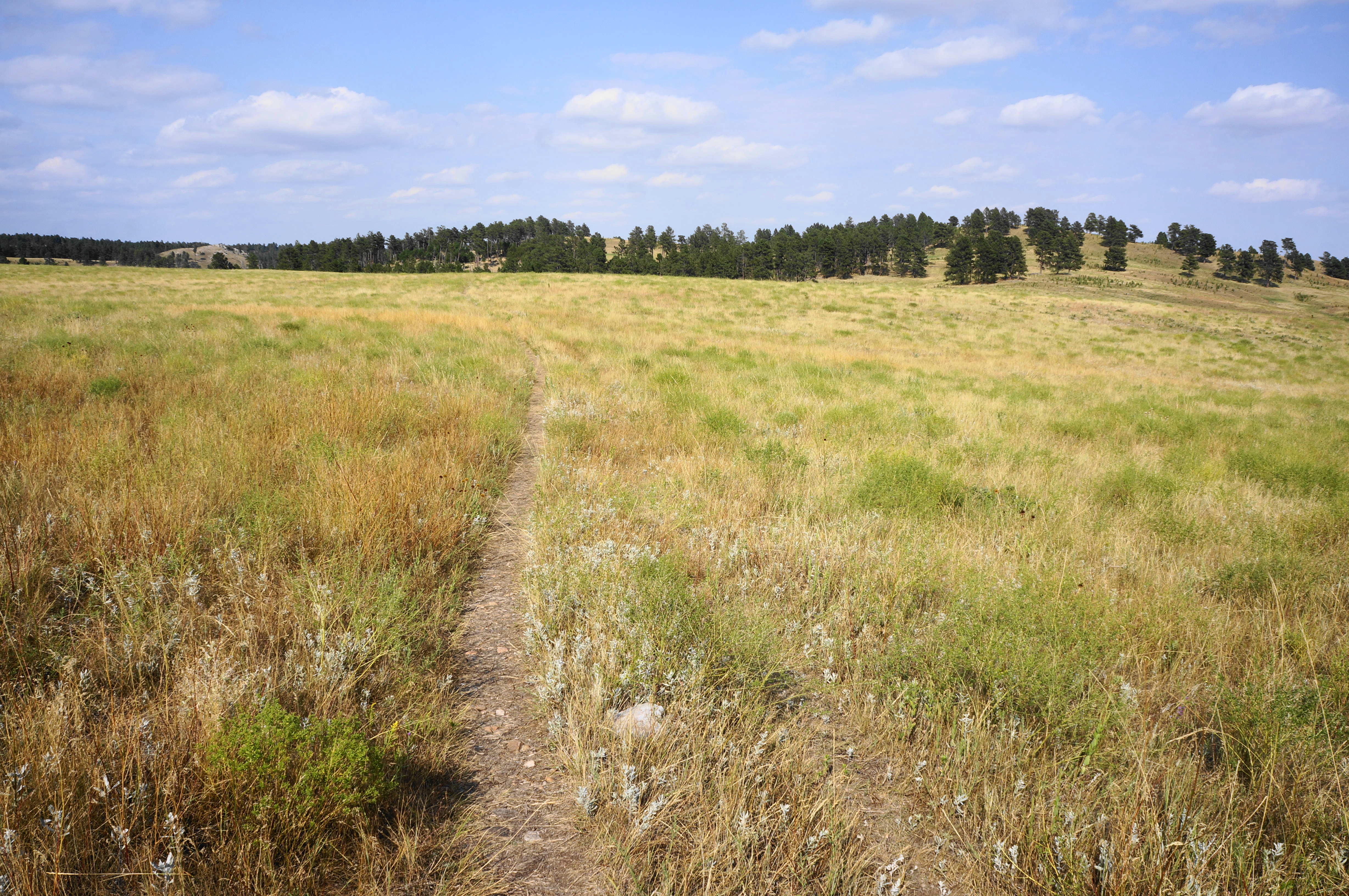
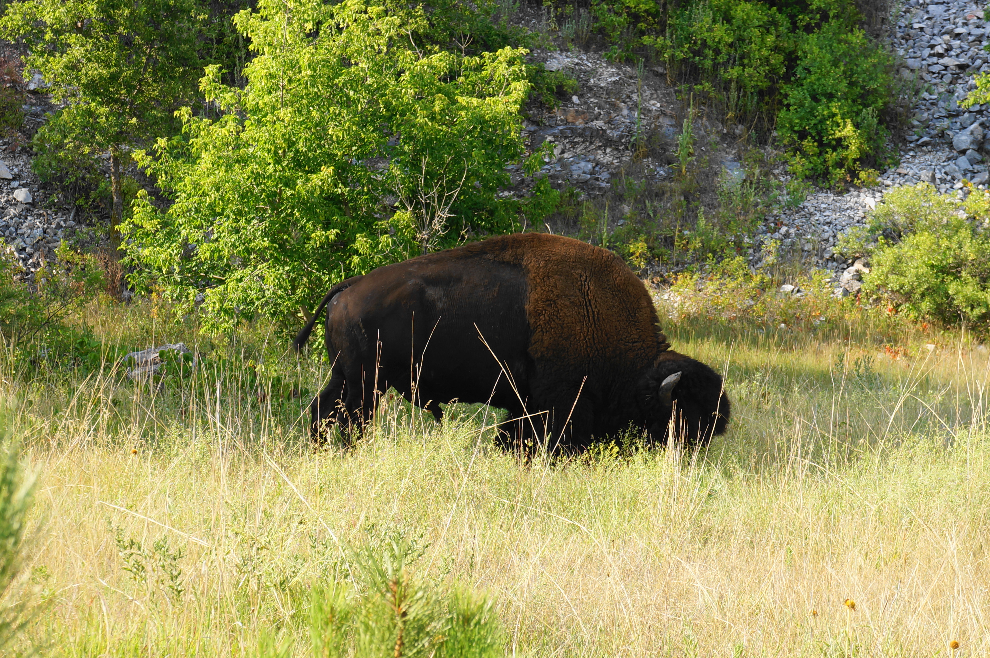
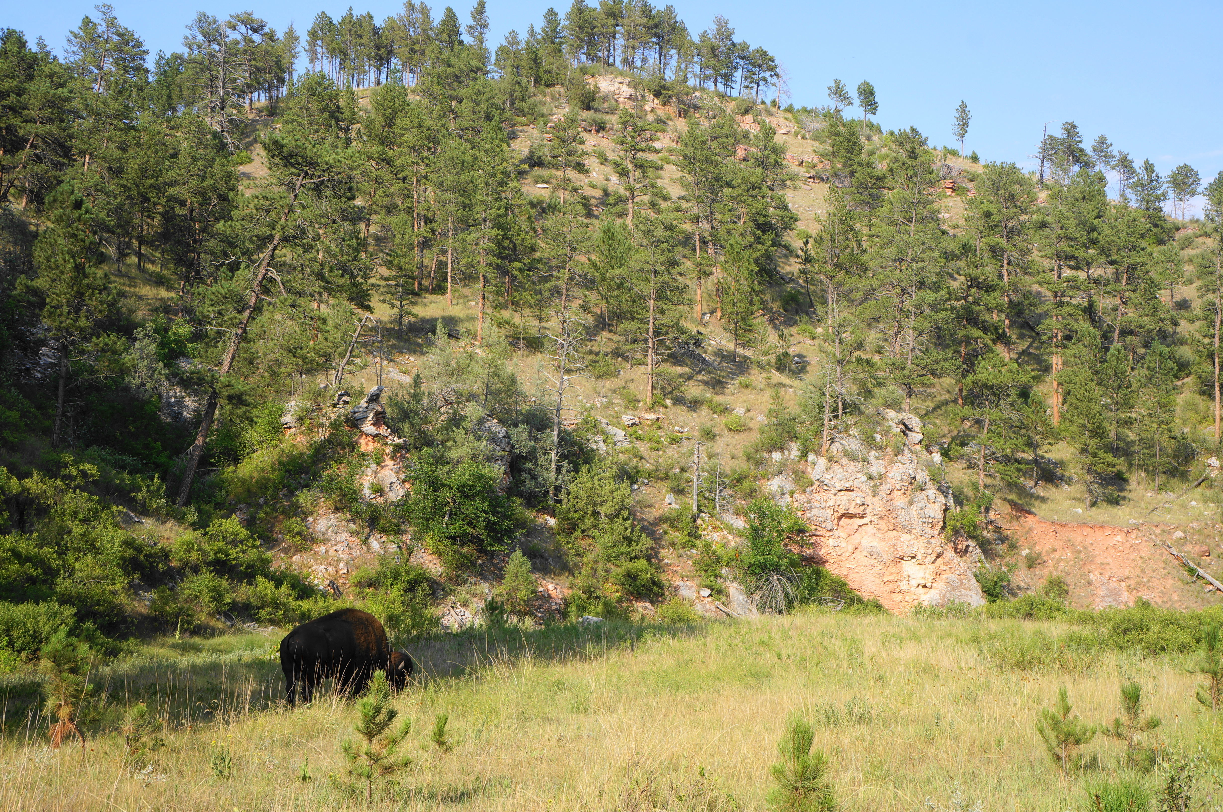
The main draw of Wind Cave National Park in western South Dakota, of course, lies underground. But when the caverns are closed (as they were in summer 2024), the primary attraction becomes the twisting canyons and vast prairies on the surface. This is not the world’s most dazzling landscape, but the pretty ponderosa forest, limestone cliffs, and abundant fauna on the 4.8-mile Lookout Point Loop makes for arguably the park’s best above-ground hike. Expect to see loads of prairie dogs and keep your eyes peeled for bison, elk, or pronghorn in this scenic section of the southern Black Hills.


The hike
The Lookout Point Trailhead (see here) is situated on a short gravel spur near the southern end of South Dakota Highway 89 (a.k.a. Needles Highway) in the heart of Wind Cave National Park. It is a two-mile drive from the Wind Cave Visitor Center. The parking area, set atop a bluff overlooking Beaver Creek Canyon, is small but usually not full. Several possible hikes begin here, including the 111-mile Centennial Trail, the longest hiking path in the Black Hills.
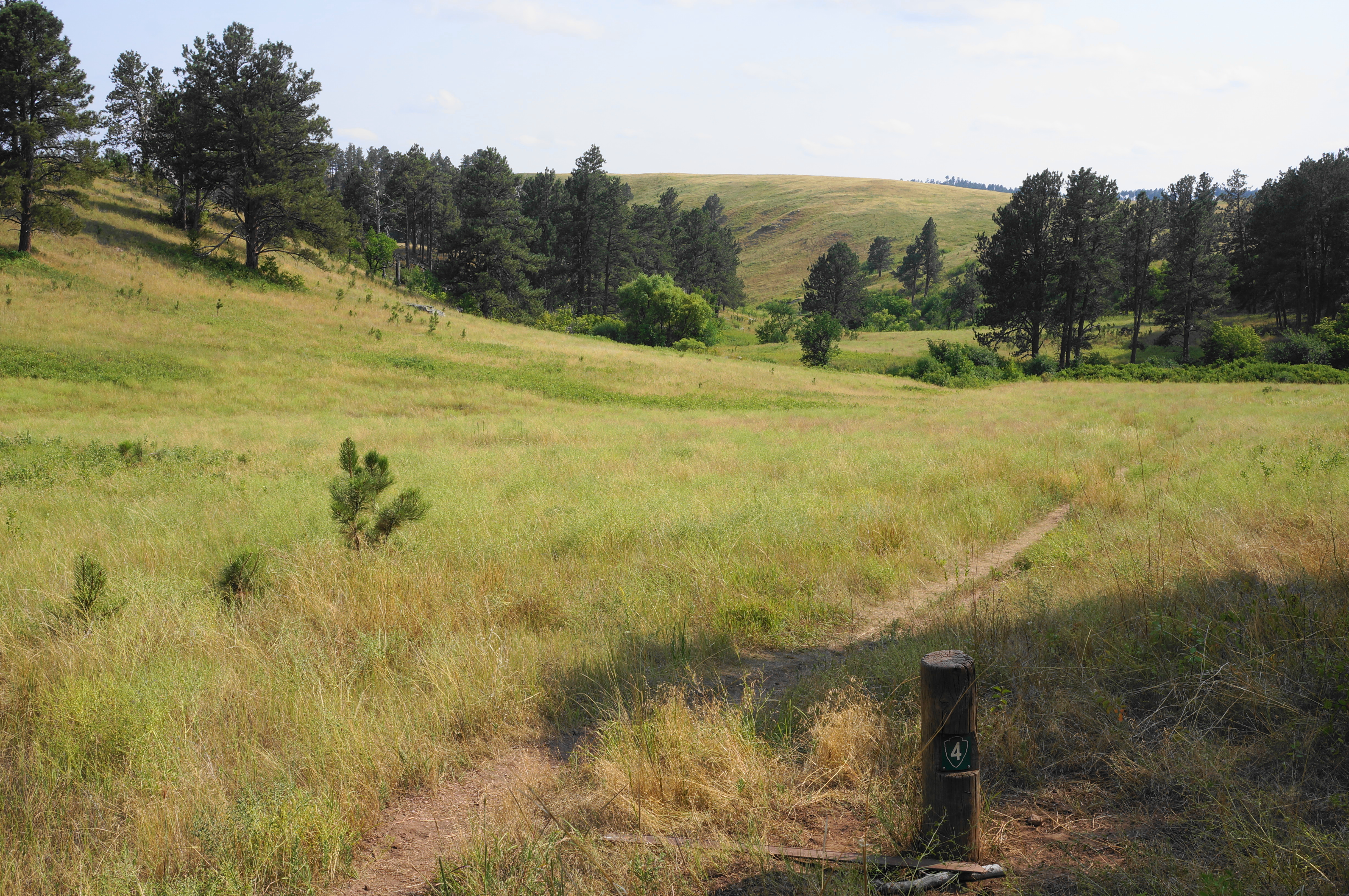
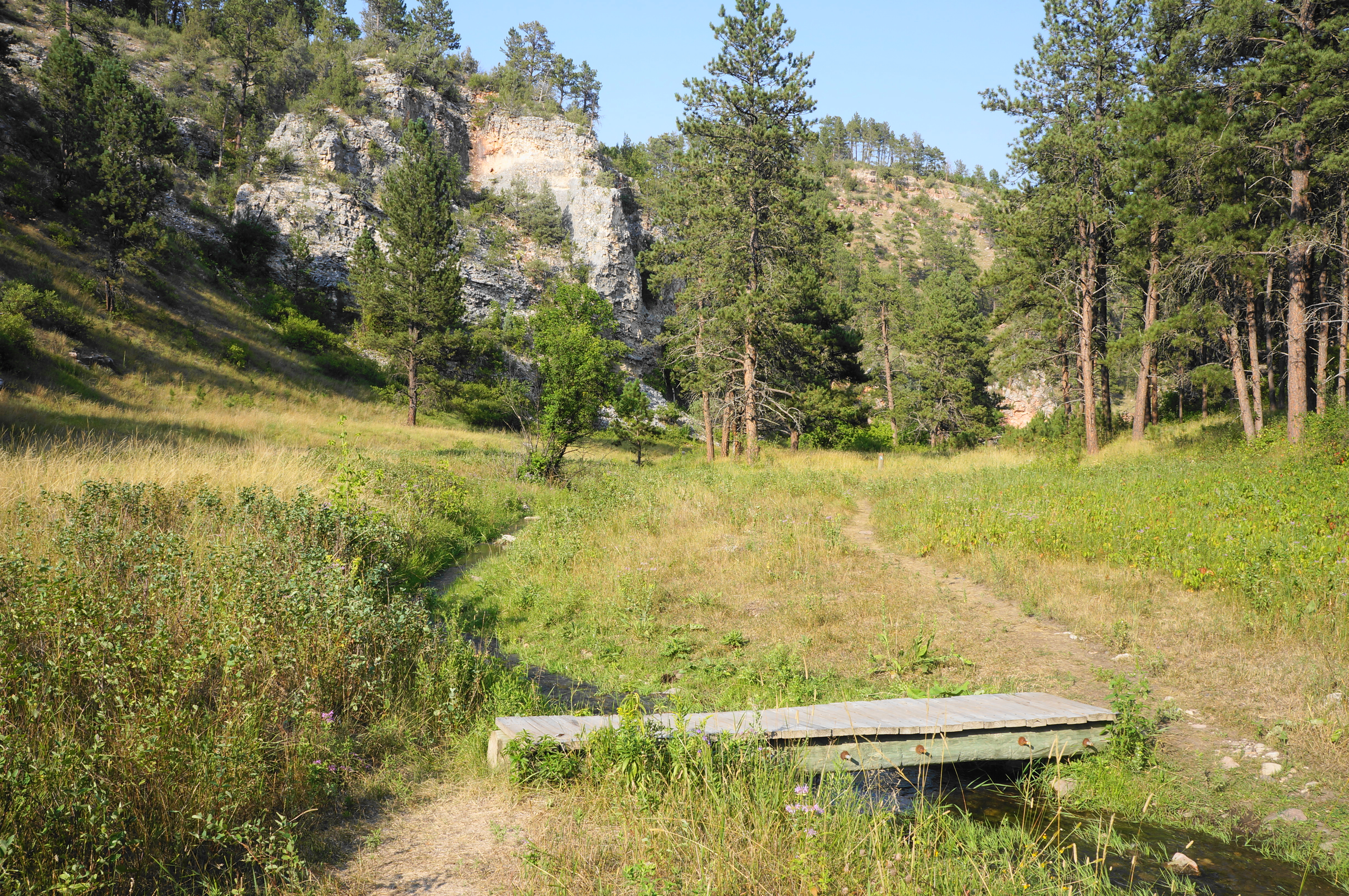
This hike will include a small portion of the Centennial Trail. But for now, set off on the Lookout Point Trail, following the circuit in a counterclockwise direction (to avoid a nasty uphill midway through). An initial descent from the pine-studded ridge leads down to a grassy meadow and eventually riparian brush. You are starting in the small canyon formed by Cold Spring Creek, a tributary of the broader Beaver Creek. Traverse a short footbridge over the stream, then head through the tall grasses, with limestone cliffs visible ahead. Promptly cross the creek a second time, followed quickly by a third.
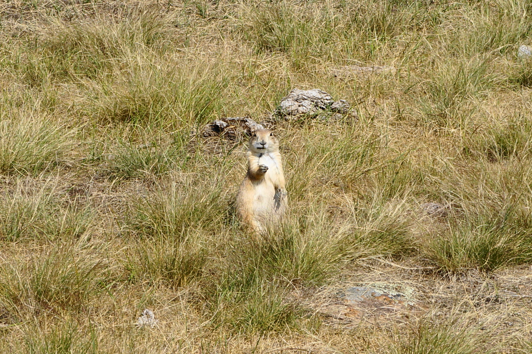
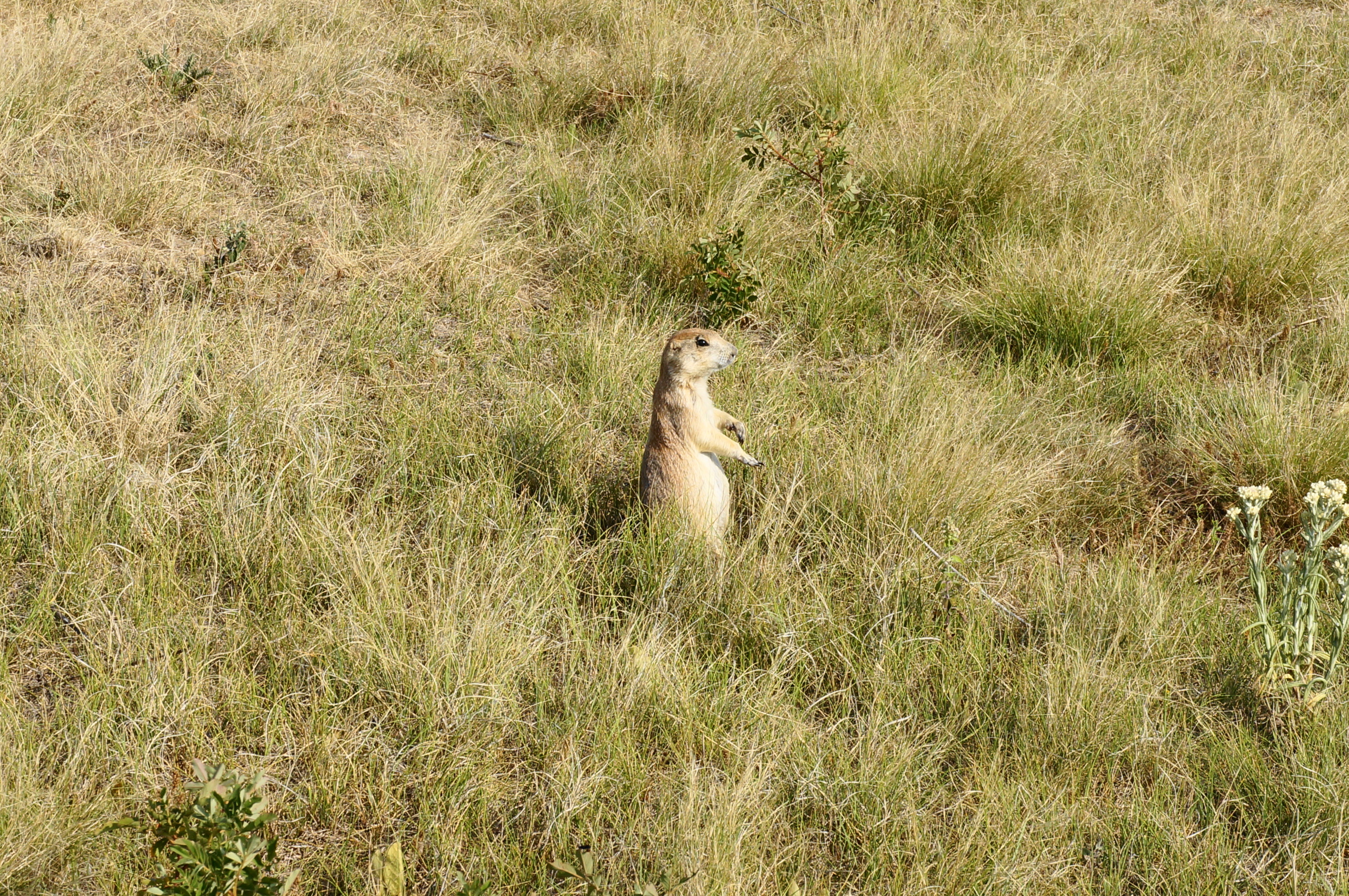
After this the route begins a sharp but brief climb, during which hikers can see around a U-shaped bend formed by the shallow canyon. Soon the path crests and levels off at a grassy plateau within striking distance of Highway 87. Here hikers are greeted by the excited (frightened?) chirps of dozens of prairie dogs, a sound that will carry with you for the next mile or so. These little critters are curious, but with the slightest hint of danger, scurry quickly back into their subterranean network of tunnels.


As for the views, one can see south to Elk Mountain and the higher ridgetops of the southern Black Hills beyond. The narrow trail turns into a fainter but wider doubletrack, tracing around a left-arcing turn and soon bearing east across open prairie. As the grasses grow taller, the prairie dog chirps gradually fall away, and the path climbs toward a hilltop with patchy pines. This is Lookout Point, although there is no “summit” per se as the trail cuts through a sunny corridor between stands of ponderosas.

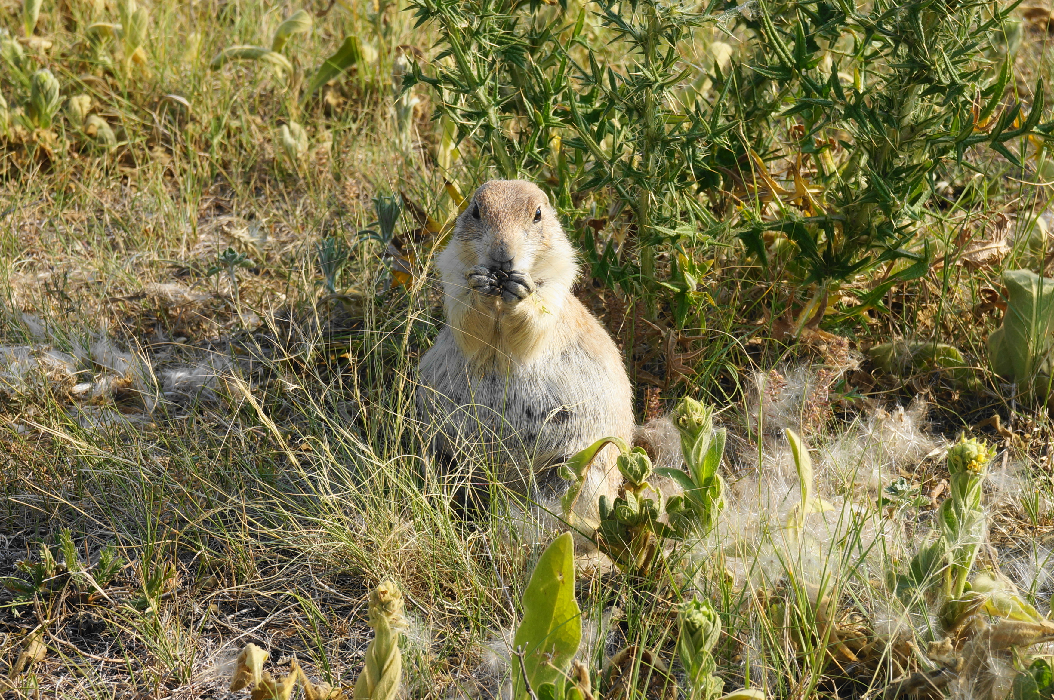
The trail reaches its high point at about 1.5 miles, after which the pines dissipate again and the path enters a more barren drainage home to another community of prairie dogs. The relentless cheeping of the munching rodents (albeit cute ones) continues for a half mile. Just before reaching the edge of the coniferous forest again, stay left at the junction, merging on to the Highland Creek Trail, a north-south connector path.

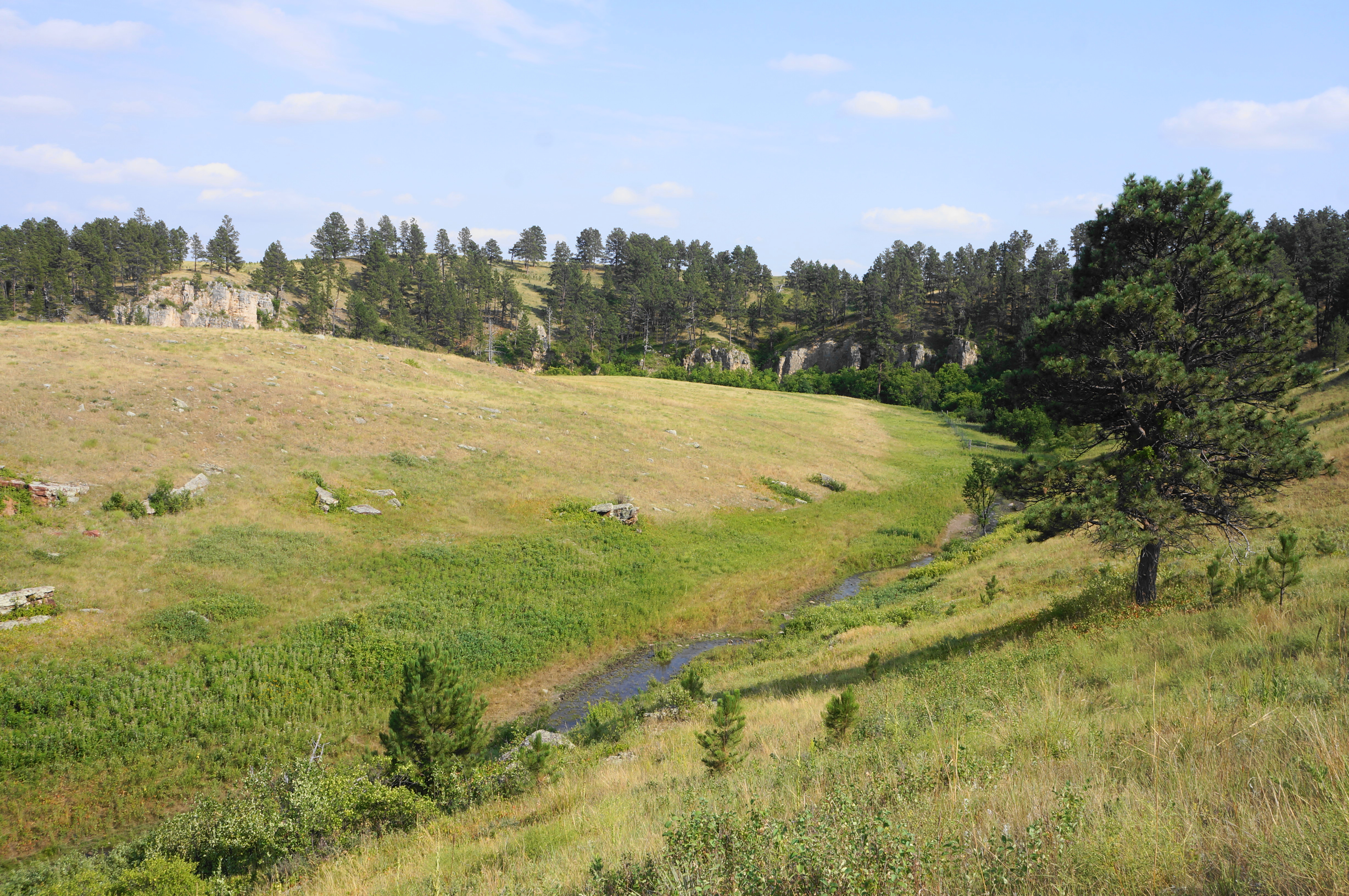
The next section, reentering the woods, is much shadier and includes a very steep descent. Be careful as there may be mud or loose rock as the trail sheds 300 feet in less than a quarter mile. The descent ends in the throes of Beaver Creek Canyon, where there is another trail fork (bear left).
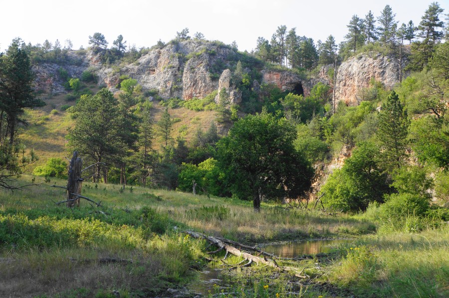
The canyon section is arguably the highlight of the hike, and the Lookout Point Trail continues westward through the narrow gorge with multihued limestone and sandstone cliffs. Cross a footbridge to the north side of Beaver Creek, a perennial waterflow. Just beyond a 25-foot rock wall, traverse a second bridge, then a third, after which the trail cuts across a flat, open plain.
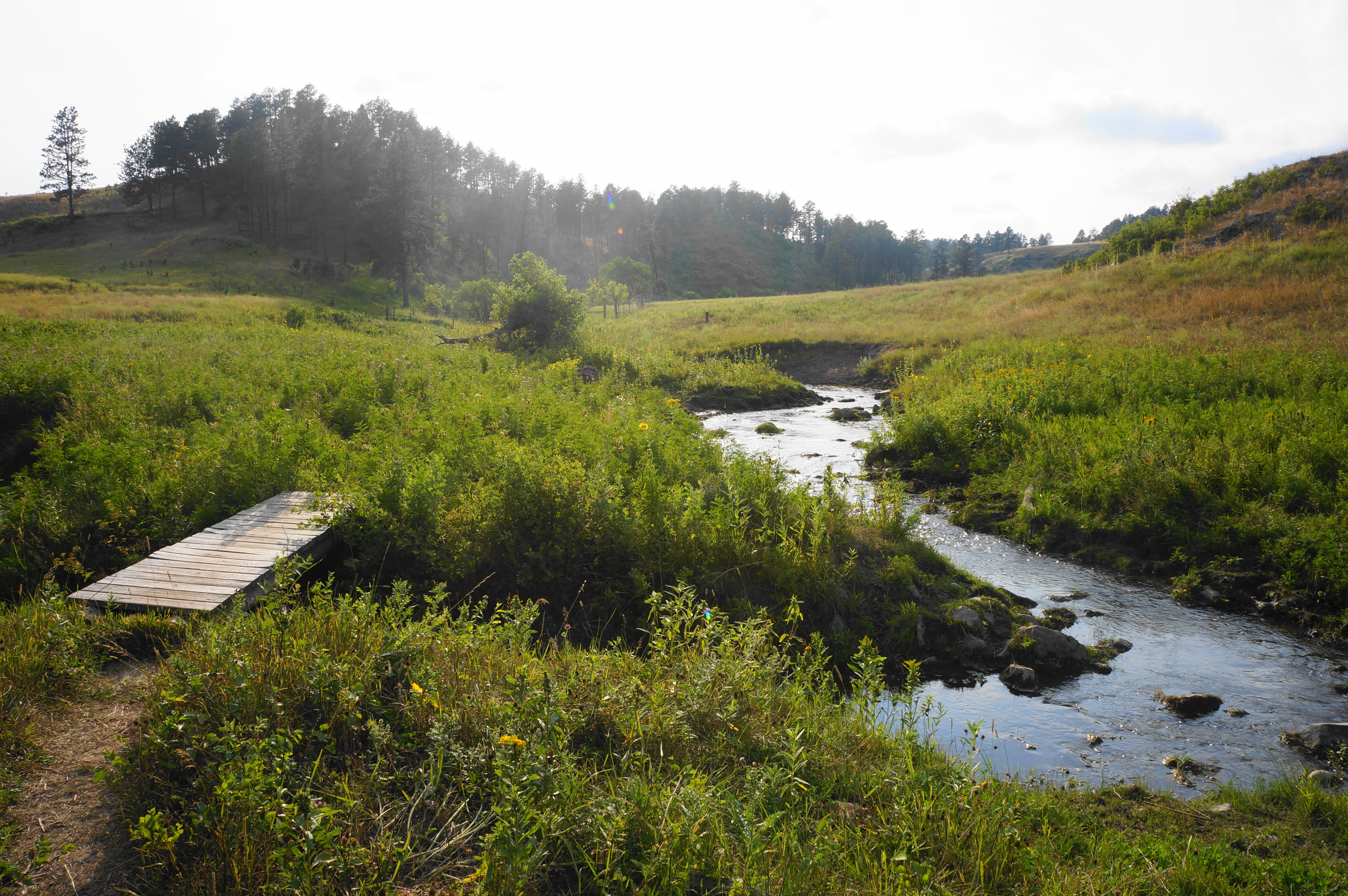
Once you reach the creekside again, the way forward is a bit confusing. A trail heading left goes over an obvious footbridge, but the signposts tell hikers to keep right. Following the latter, hikers arrive steps later at a signed junction: here hikers join the Centennial Trail. The northbound track bears right and climbs up and out of the canyon, but hikers should stay left. (Note: Another trail heads straight and ends at a spot by the creek with no bridge.) After navigating this pair of junctions, cross the bridge over the creek. On the other side, follow the path paralleling the stream, ignoring a wider doubletrack that bisects it.

Before going much further, however, take a look over to the right, where, on the opposite shore, Beaver Creek appears to drop directly into a subterranean cave. This is called “The Sink,” a cool feature that park researchers suggested might connect to the broader Wind Cave system—although no evidence has been discovered as of yet.

Back on the trail, continue westward around a left-hand bend and cross the stream a fifth time. Pass a subsidiary drainage on the right called Curley Canyon, after which the limestone walls dissipate temporarily. They return as the creek (and trail) wedges through a narrow notch; cross the stream again and traverse an overgrown riparian section. After a seventh crossing, hikers can admire higher, 50+-foot cliffs on the left.


Round a right-hand bend and come to a wide-open valley with another stream traverse. Follow the trail through the brushy flat and arrive at the confluence of Cold Spring and Beaver Creeks, crossing both in quick succession. After this point the trail treads away from the streams, with the ridgetop bearing the parking lot coming into view. For good measure, traverse Beaver Creek one last time, then launch into a final steep-but-short ascent to regain the high ground. The Centennial Trail ends back at the Lookout Point Trailhead, capping off a 4.8-mile, moderately-difficult circuit hike.

Wow! Thank you, Andrew!
My family lived in Huron, South Dakota for 5 years when we first came to America. We were in our junior years in high school when my parents decided to move to the East Coast for a variety of colleges.