Pinnacles Overlook, Badlands National Park, August 2024
After briefly skirting the South Unit, I spent much of an afternoon checking out the various overlooks along the Sage Creek Rim Road and Badlands Loop Road in Badlands National Park’s North Unit. This is where the bulk of the most scintillating sedimentary formations are located. Heading from west to east, the open prairies of Sage Creek and the Badlands Wilderness Area give way to a high rim with more than a half-dozen vista points. After the two roads join, the Badlands Loop Road skirts south and east through “The Pinnacles” area and over Dillon Pass, after which the multihued badlands become even more varied and colorful. Particular favorites are the Burns Basin Overlook and Panorama Point. After cutting through Norbeck Pass, the loop road enters the main, most-visited section of the park, were the campground and Ben Reifel Visitor Center are located. Keep an eye out for prairie dogs, bison, pronghorn, bighorn sheeps, and other wildlife (I even saw a badger!) along the way.
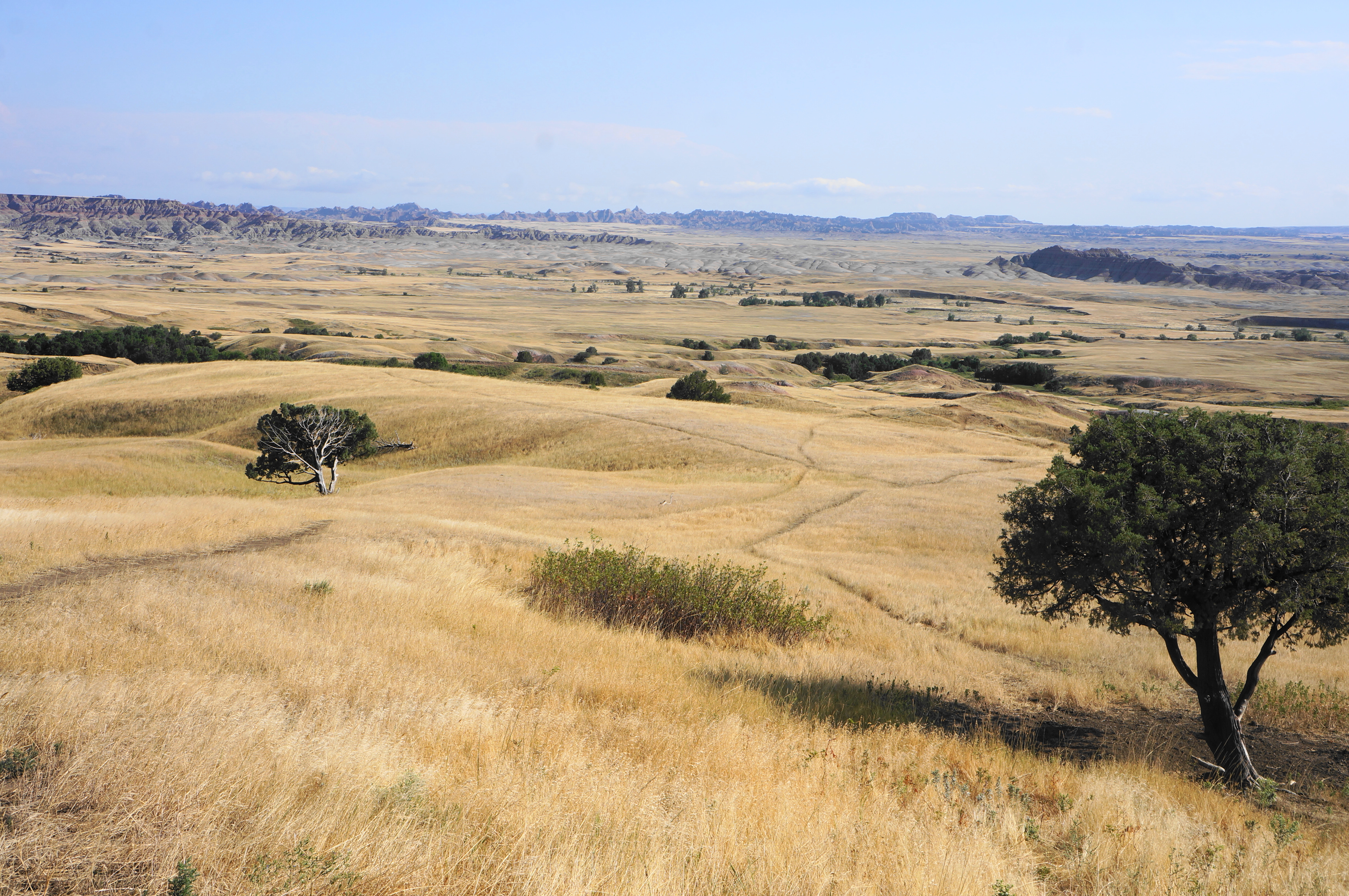
Sage Creek Basin Overlook, the westernmost viewpoint and entry point for off-trail adventures into the Badlands Wilderness. This is part of one of the largest remaining preserved mixed-grass prairies in the U.S.
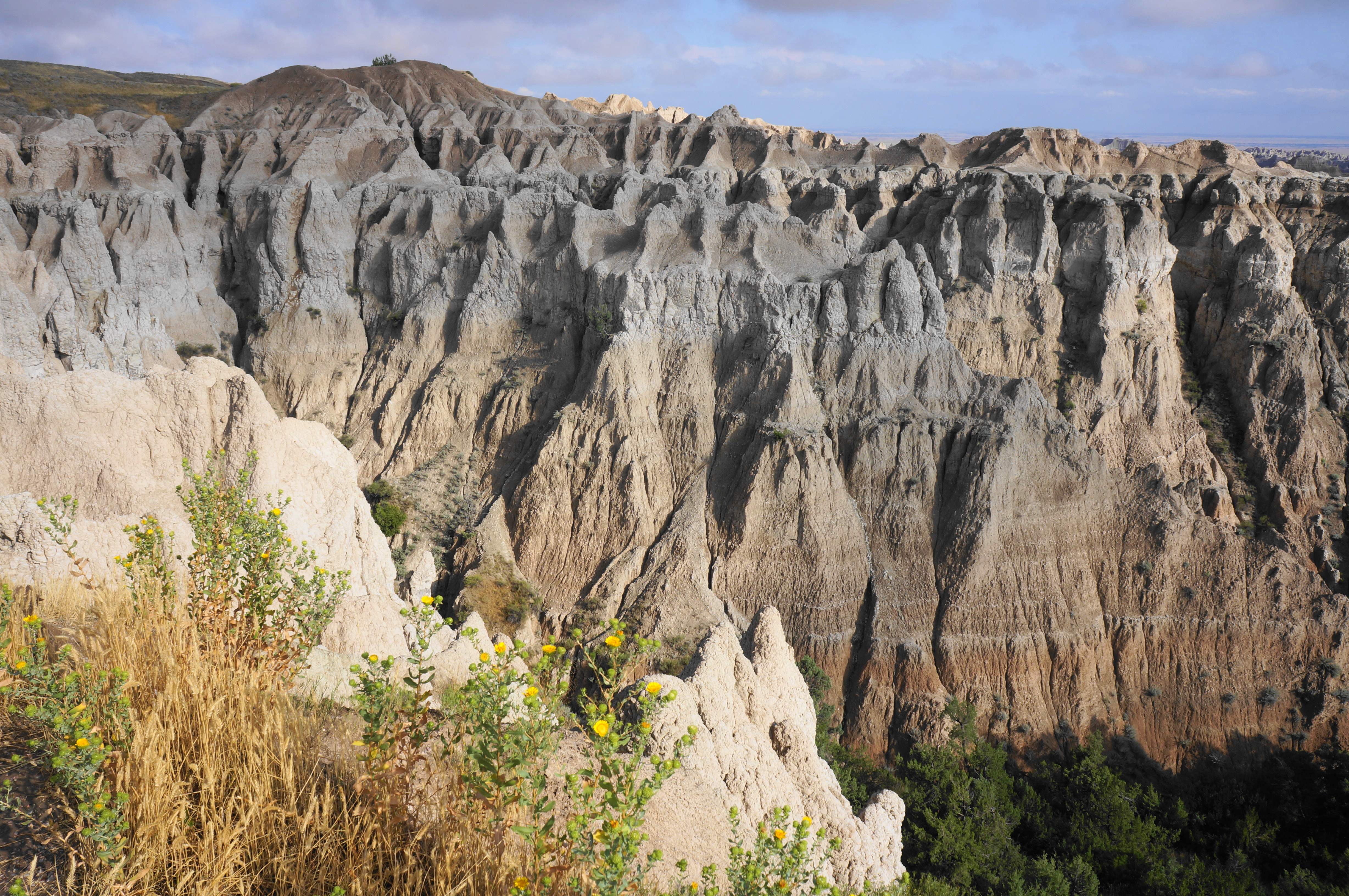
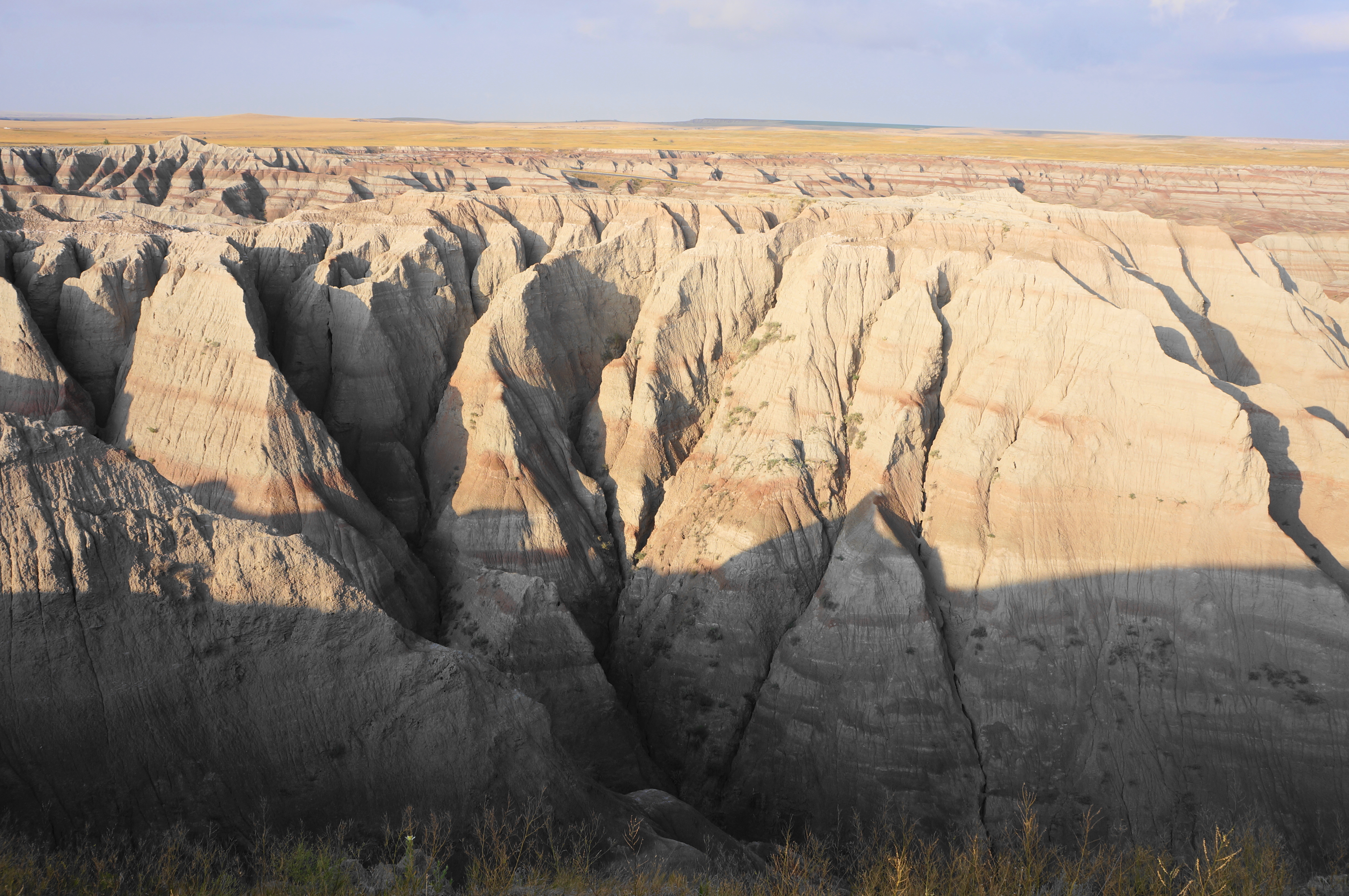
Badlands Wilderness Overlook: it would be much harder to descend to the base of the rim from here, but the craggy badlands are much closer.
Eroding cliffs at Badlands Wilderness Overlook
Another look into the badlands from Hay Butte Overlook
Sage Creek Basin and beyond from Hay Butte Overlook
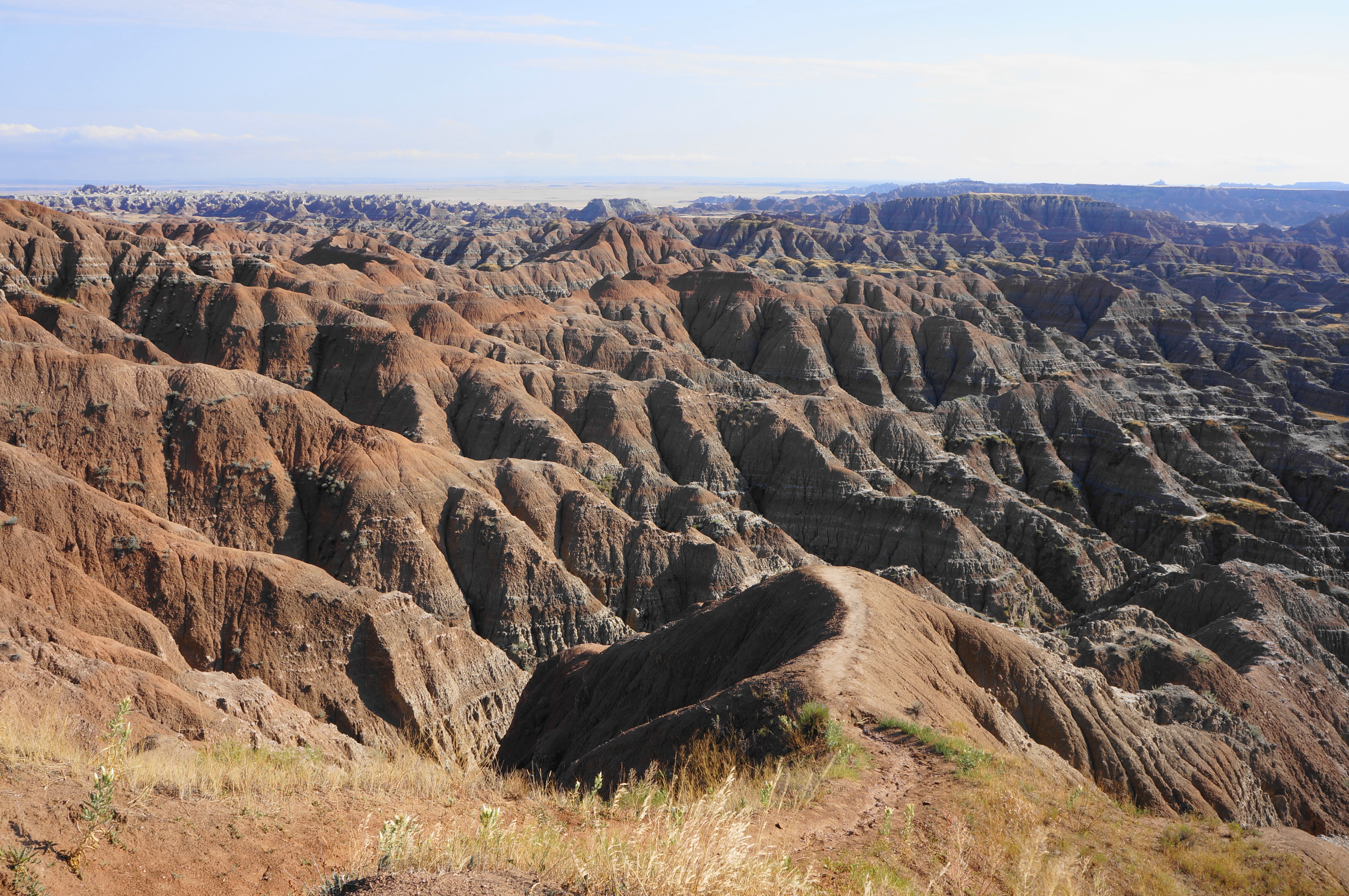
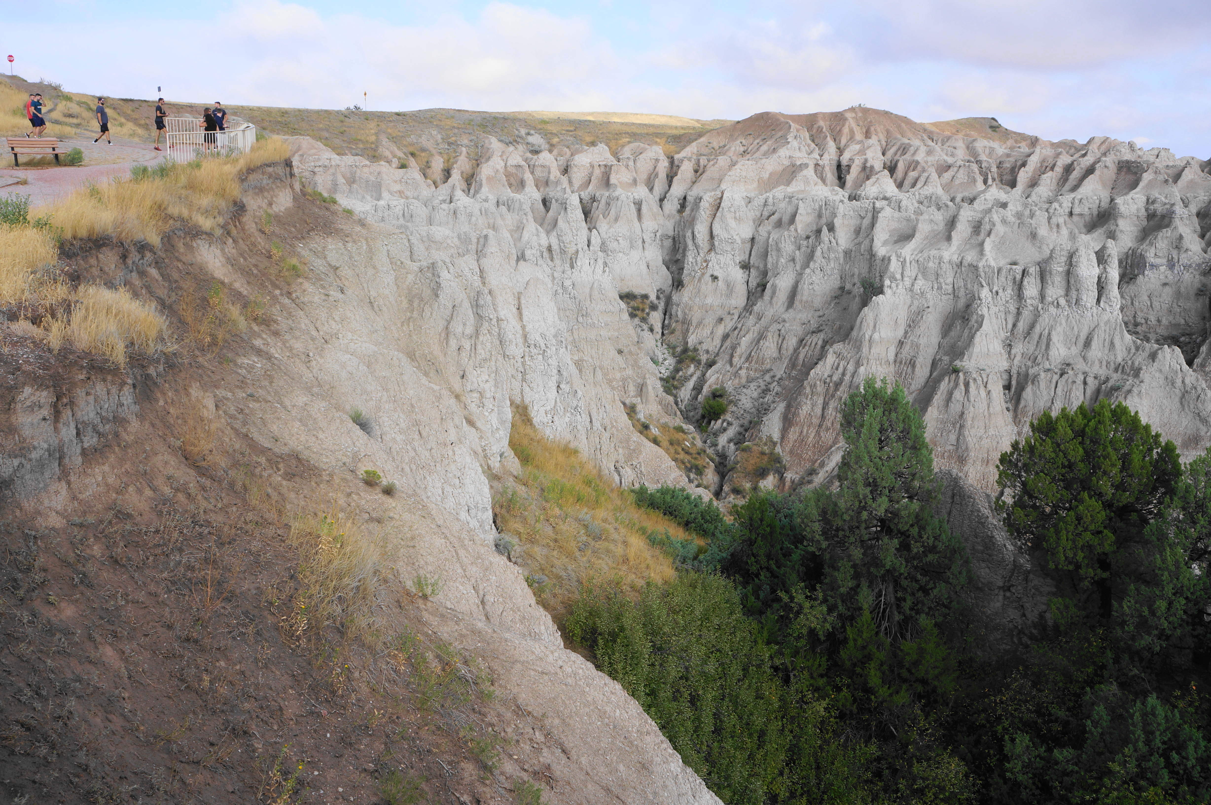
Unmarked overlook near the junction of Sage Creek Rim and Badlands Loop Roads
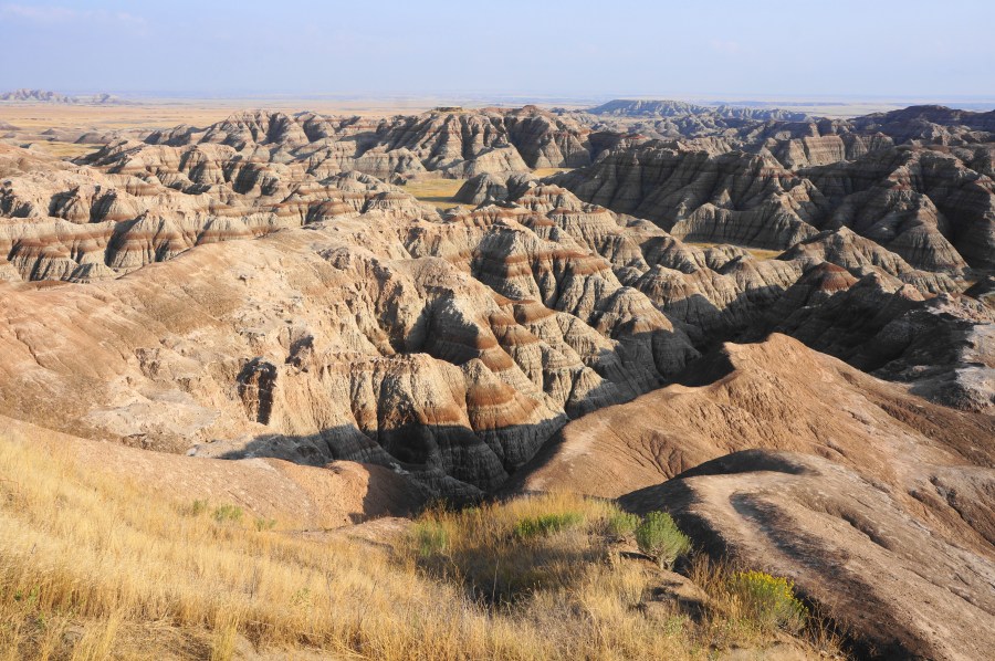
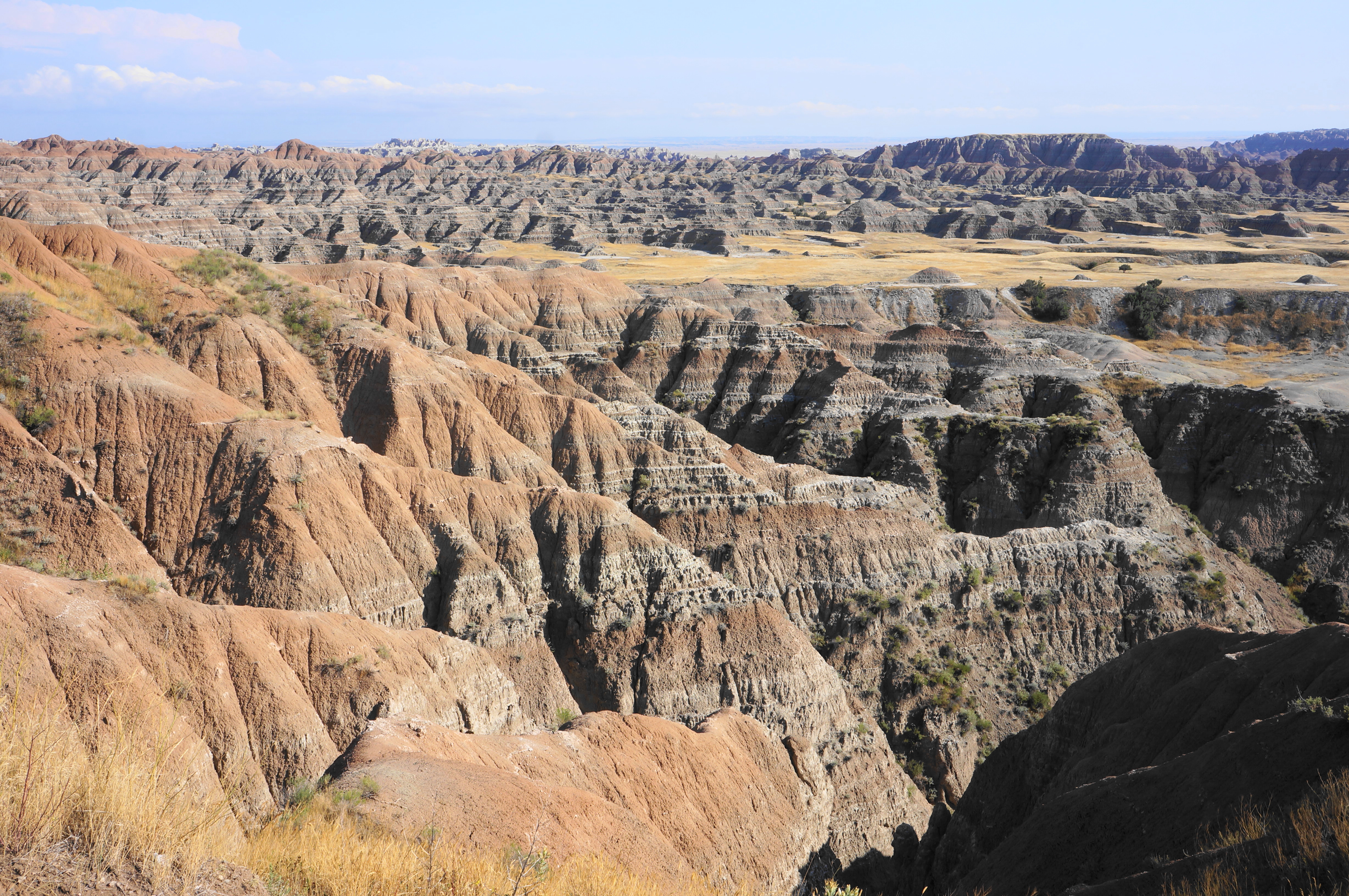
Views from Pinnacles Overlook in the heart of Badlands
Chalky pinnacles
Ancient Hunters Overlook, facing the open prairie
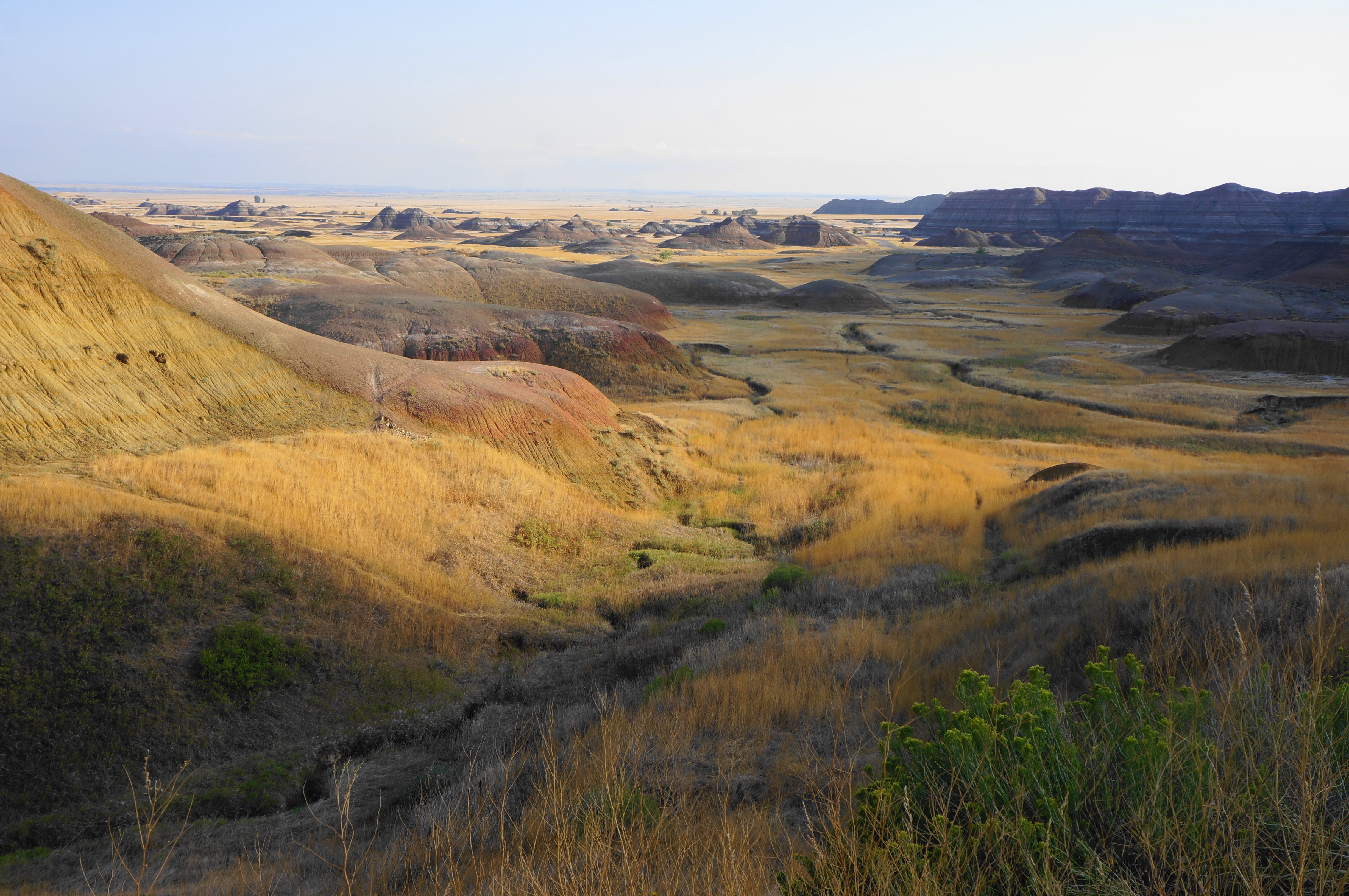
Roadside view from near Yellow Mounds Overlook
Colorful hues at Yellow Mounds Overlook
View out toward Conata from Yellow Mounds Overlook
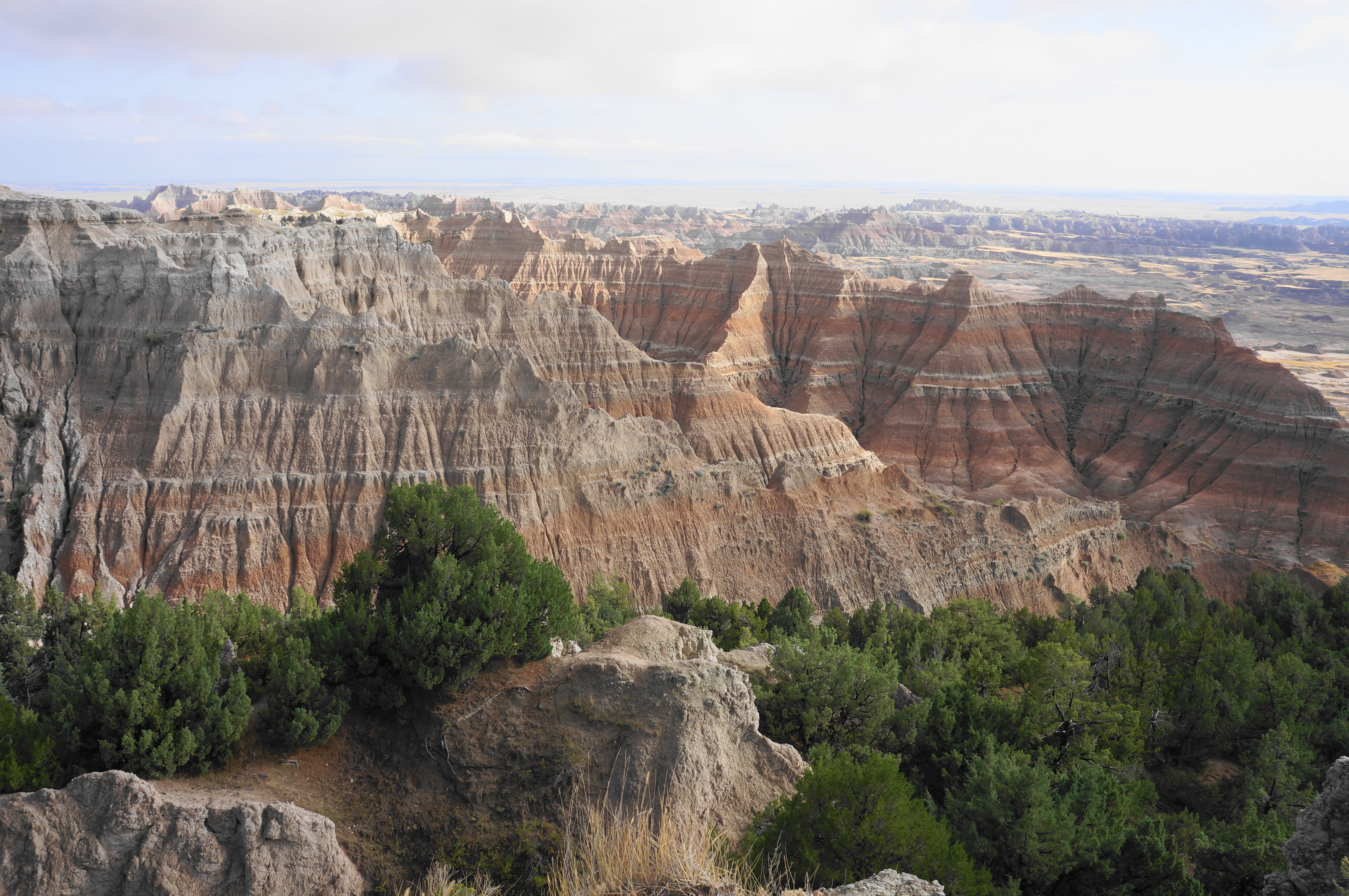
Walking out to Homestead Overlook
View down from Homestead Overlook
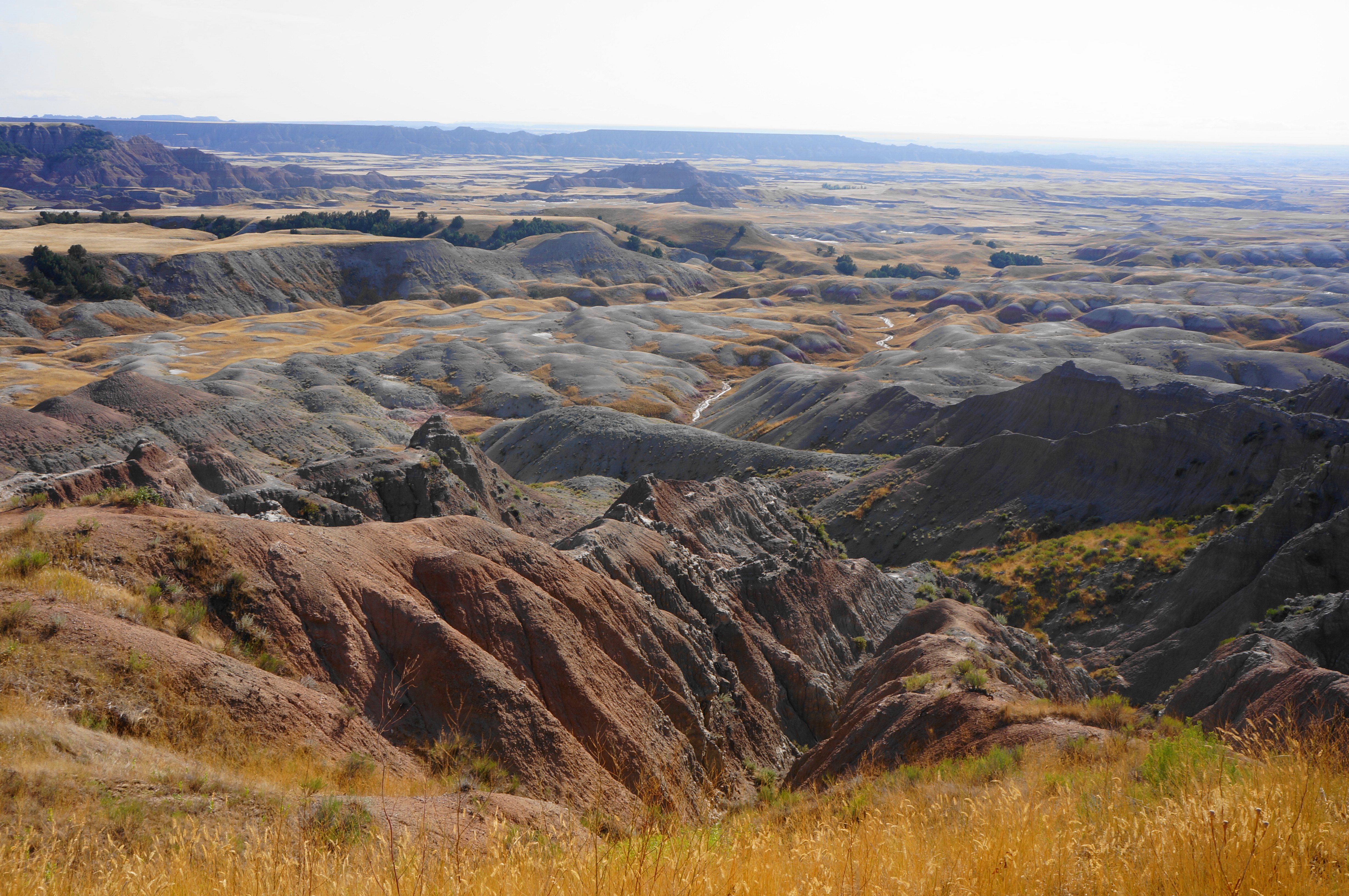
Burns Basin Overlook, a personal favorite
The overlook was named for homesteader Wilson Burns, who raised sheep here in the early 1900s.
View from Panorama Point, with the main complex of badlands in the distance
Another look from Panorama Point
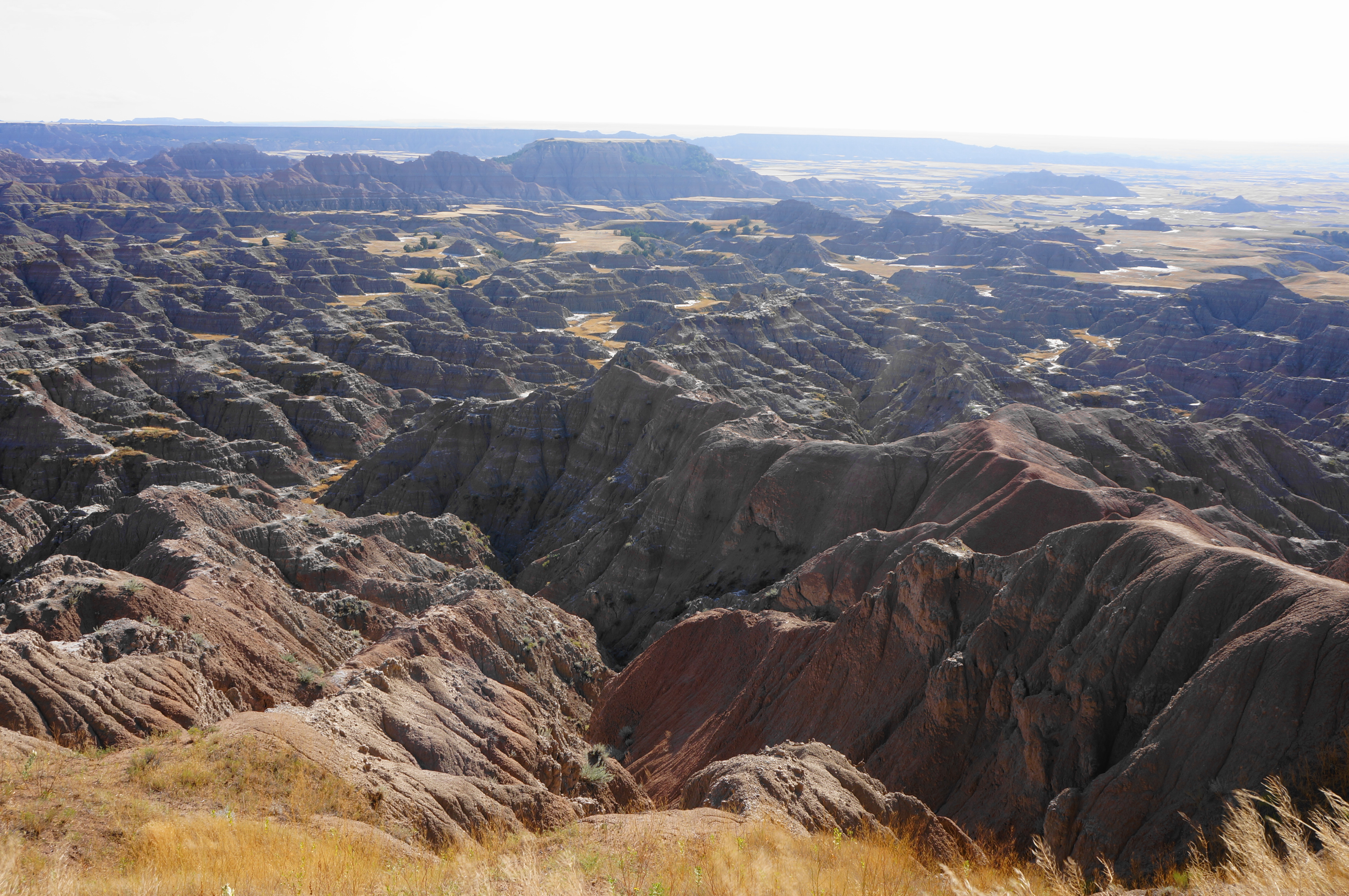
White River Valley Overlook
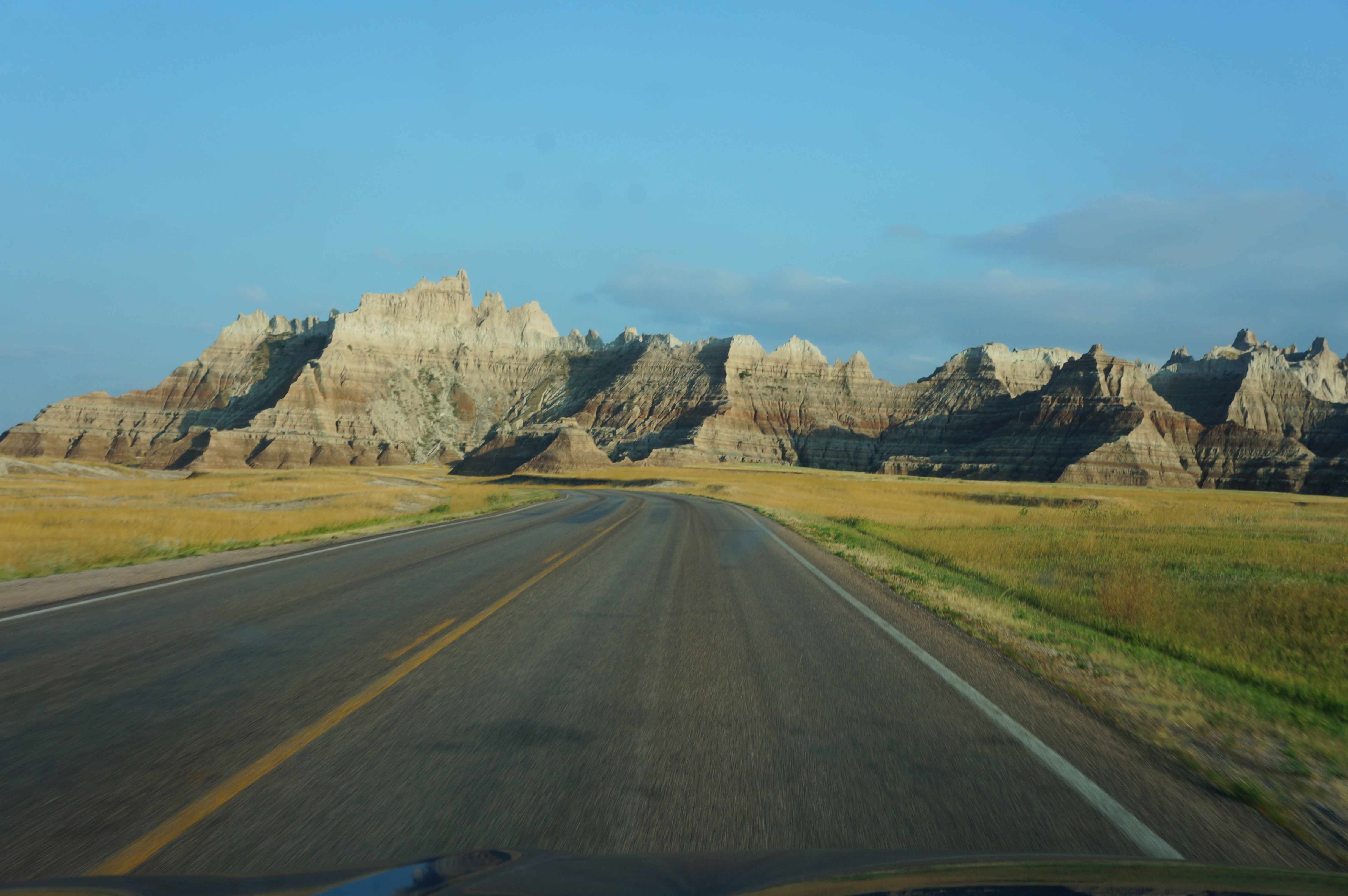
Distant look to the “Badlands Wall”
On the road near Cedar Pass and the Visitor Center


Pingback: Saddle Pass Trail to Castle – Medicine Root Trail Loop (Badlands National Park, SD) – Live and Let Hike
Pingback: Deer Haven (Badlands National Park, SD) – Live and Let Hike