
After nearly spending nearly three weeks out West, it was, alas, time to get on my way across the country to complete my move from the San Francisco area to Washington, DC. From South Dakota, I drove down to stay with a friend in Iowa City, Iowa and, on the way out, stopped by Maquoketa Caves State Park, by far one of the most interesting natural attractions in the state. From here I made way further east, across Illinois, Indiana, Ohio, and West Virginia to the DMV area, capping off a 24-day road trip.
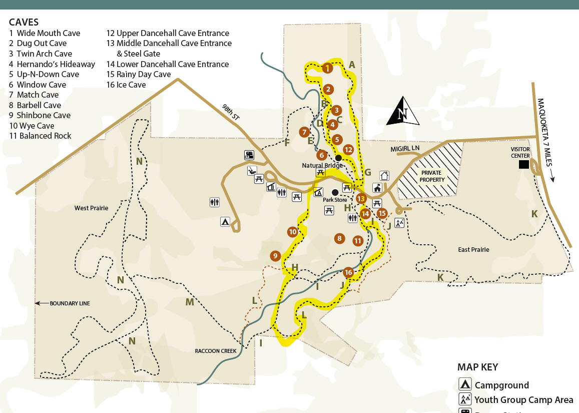
Nestled in a stream valley in east-central Iowa, Maquoketa Caves State Park contains 13 caves, a balanced rock, and an impressive natural bridge carved from 430-million-year-old dolomite. The main attraction is the 1,100-foot, well-lit Dancehall Cave, but there are many other, smaller caverns that can be explored with a flashlight and a little maneuvering. Above ground, the dolomite cliffs are set amidst old-growth stands of oak and maple. The below hike forms a figure-eight that visits 10 of the caves plus the towering natural bridge. (Note: The official park map is difficult to read, so I recommend paying $0.99 for the much-better version offered here.)

The hike
Maquoketa Caves State Park encompasses 370 acres off Route Y31 in Jackson County, Iowa. After stopping at the modest visitor center, continue west of 98th Street as it cuts through open pastures then descends to enter the woods and clear Raccoon Creek. Park in one of the pull-offs on either side of the road, near the restrooms. This is the starting point for most hikes in the park.
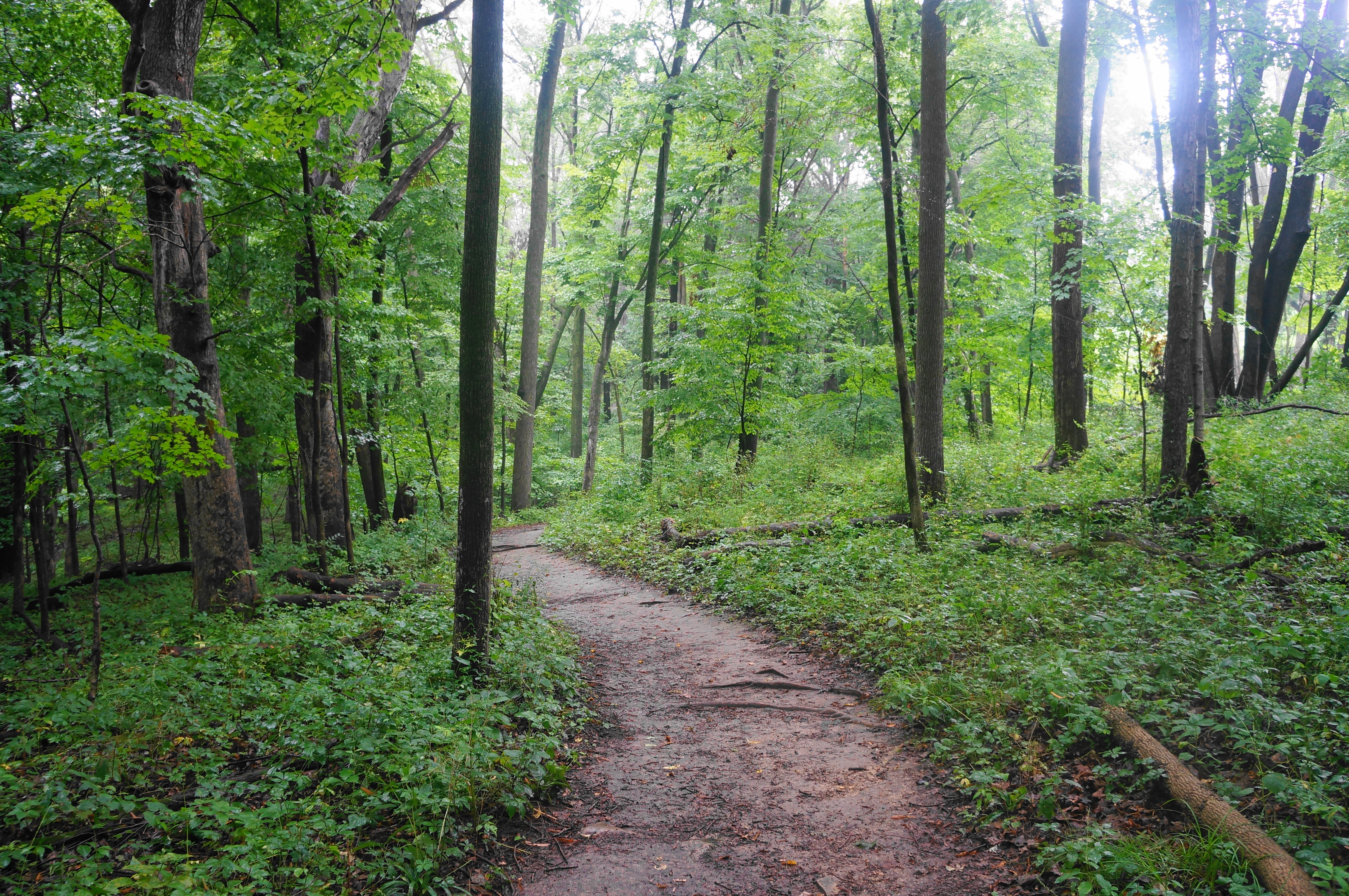
The recommended route covers terrain on both the north and south sides of the road and actually forms a figure-eight (part of the route is underground, passing right under the road!). Begin with the northern section first, finding the Ridge Trail (aka Woodland Trail), which skirts east of a small amphitheater. It begins as a paved track, but after some steps down, curves right and turns to dirt. Head north as the route passes through deciduous forest, staying right at an unmarked junction after about 250 yards. Cross a short bridge to clear a minor tributary and enter an uphill section, then a brief decline, followed by a steeper rise. At about 4/10 mile, the trail rounds a left-hand corner and drops downhill and hugs a wall of dolomite.
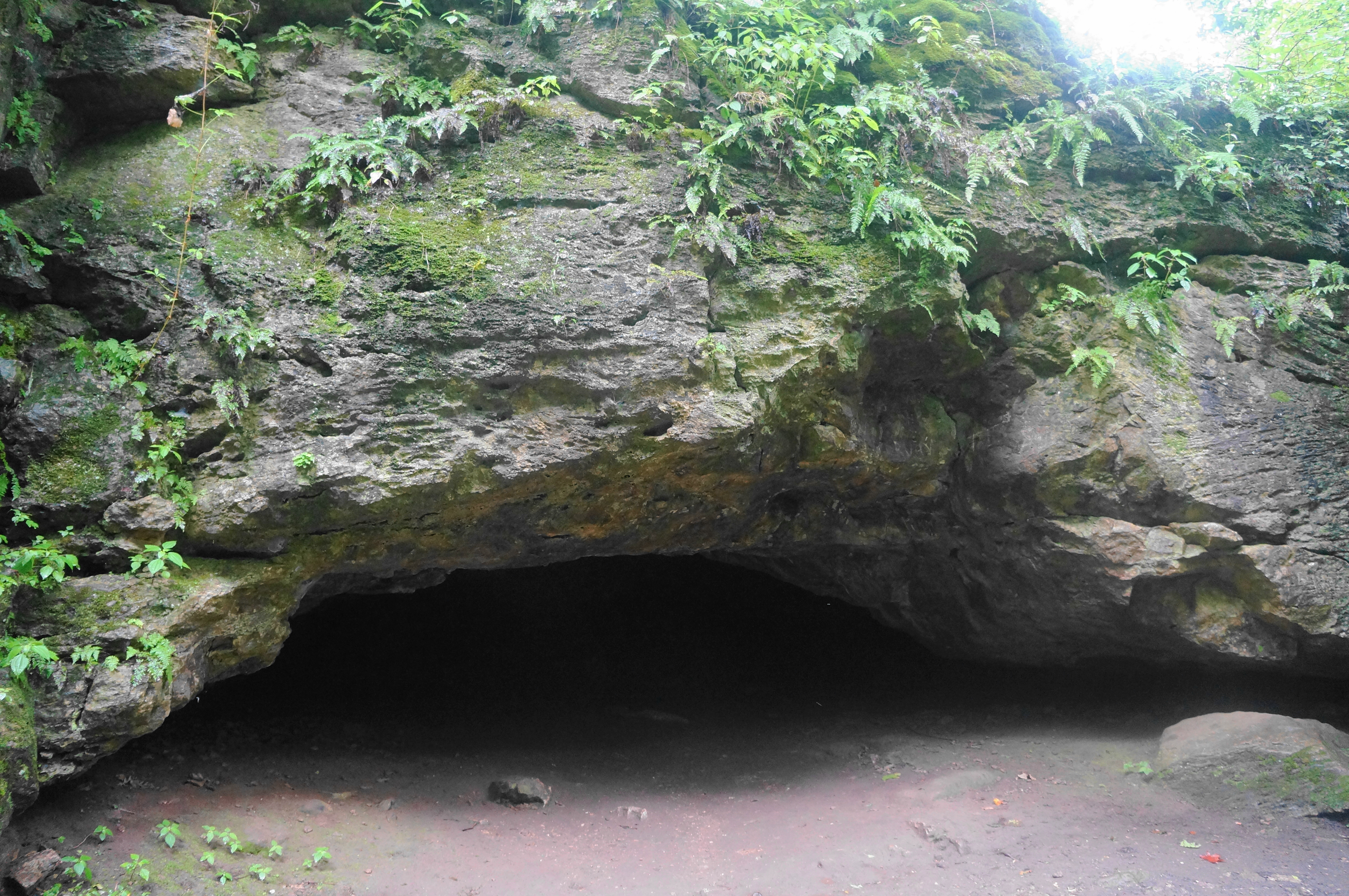
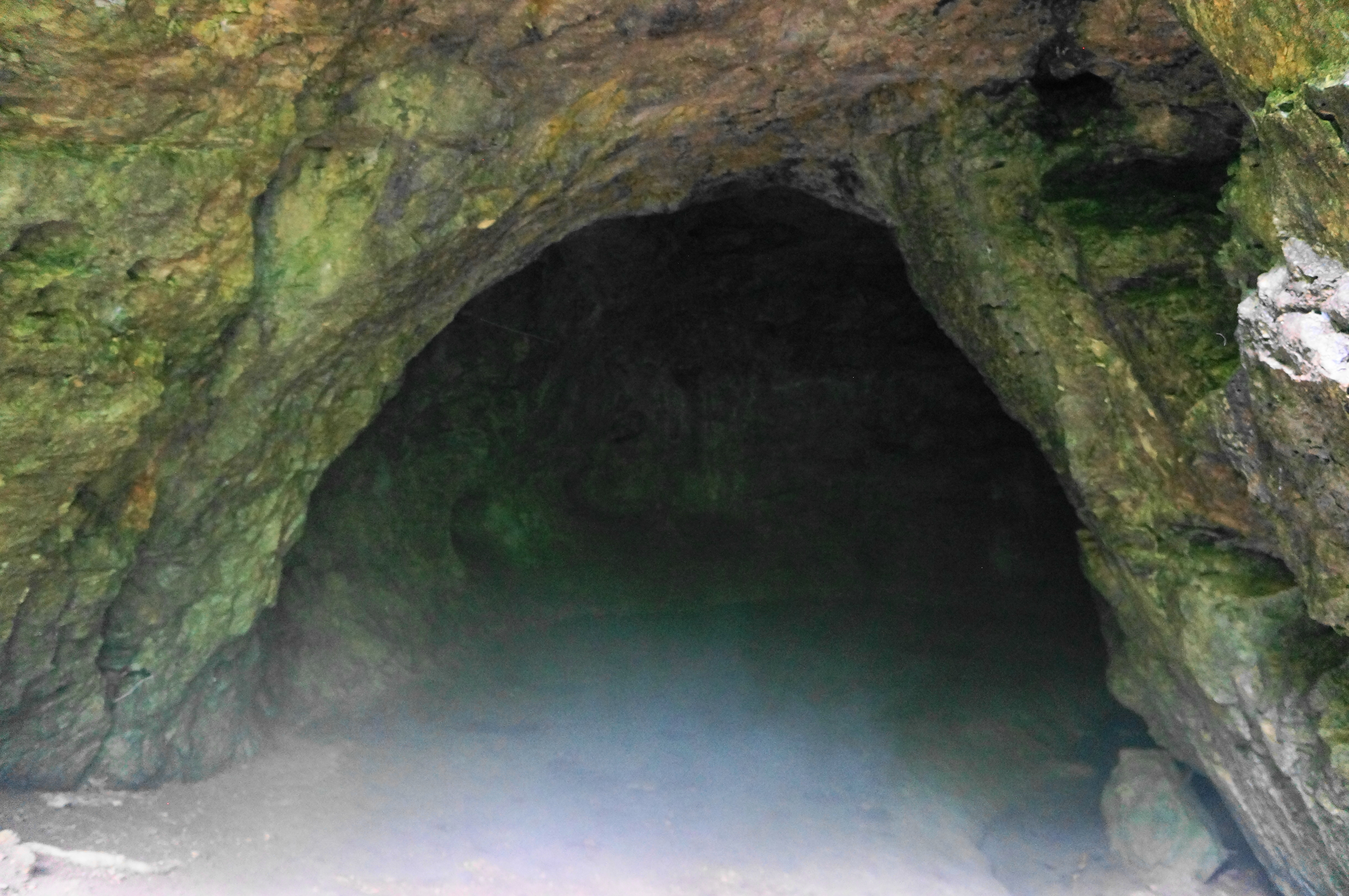
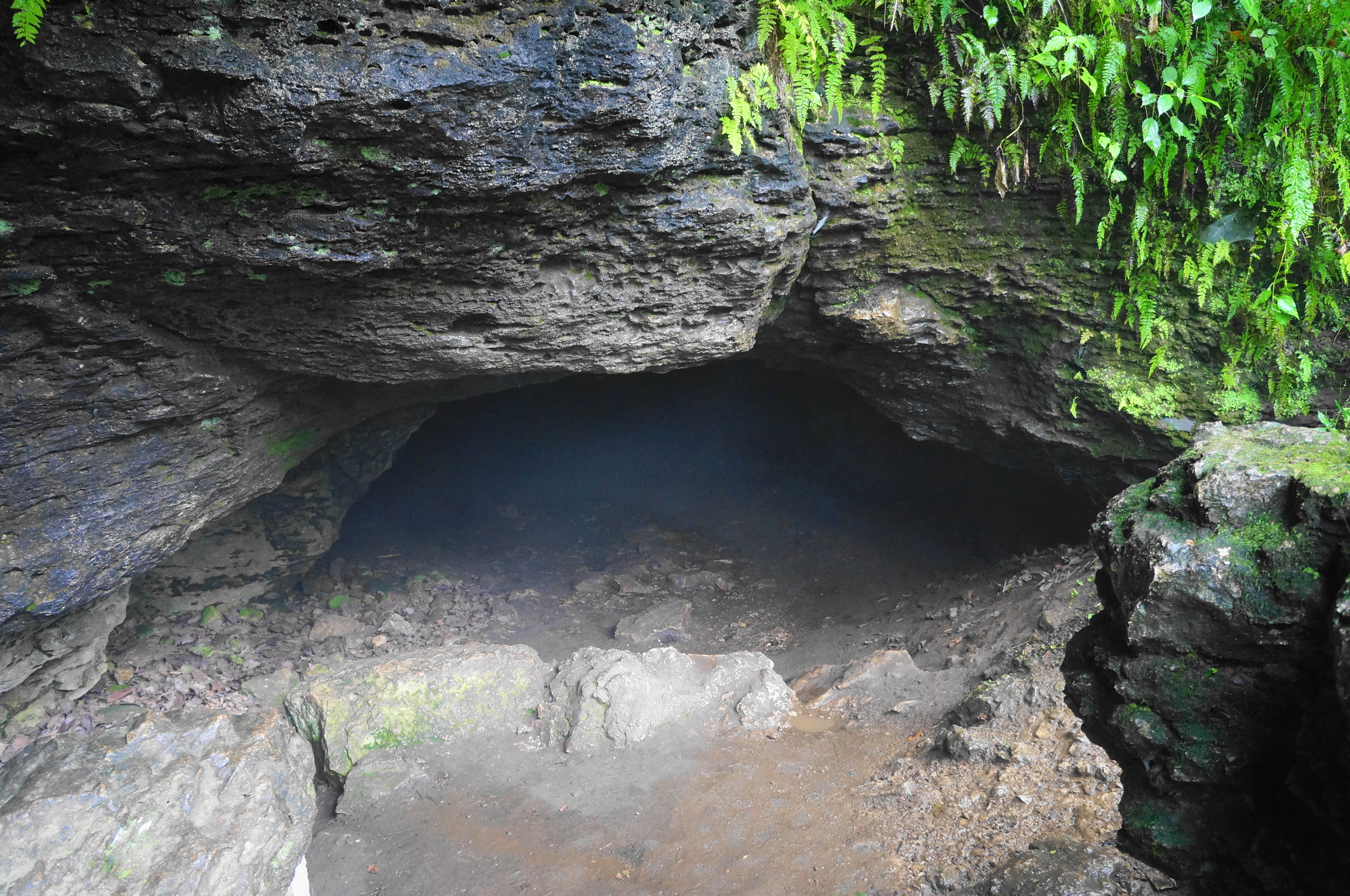
The fossil-bearing stone gives way shortly thereafter to the first of the 10 caves: Wide Mouth Cave. Take a short spur left, rising up a set of stairs, to the mouth, which, is, well, I suppose wider than many of the others in the park. Entering still requires most visitors to crouch significantly, though the ceiling rises a bit as spelunkers enter three successive rooms. The entire cave is thought to be about 100 feet long, making it one of the park’s most extensive.
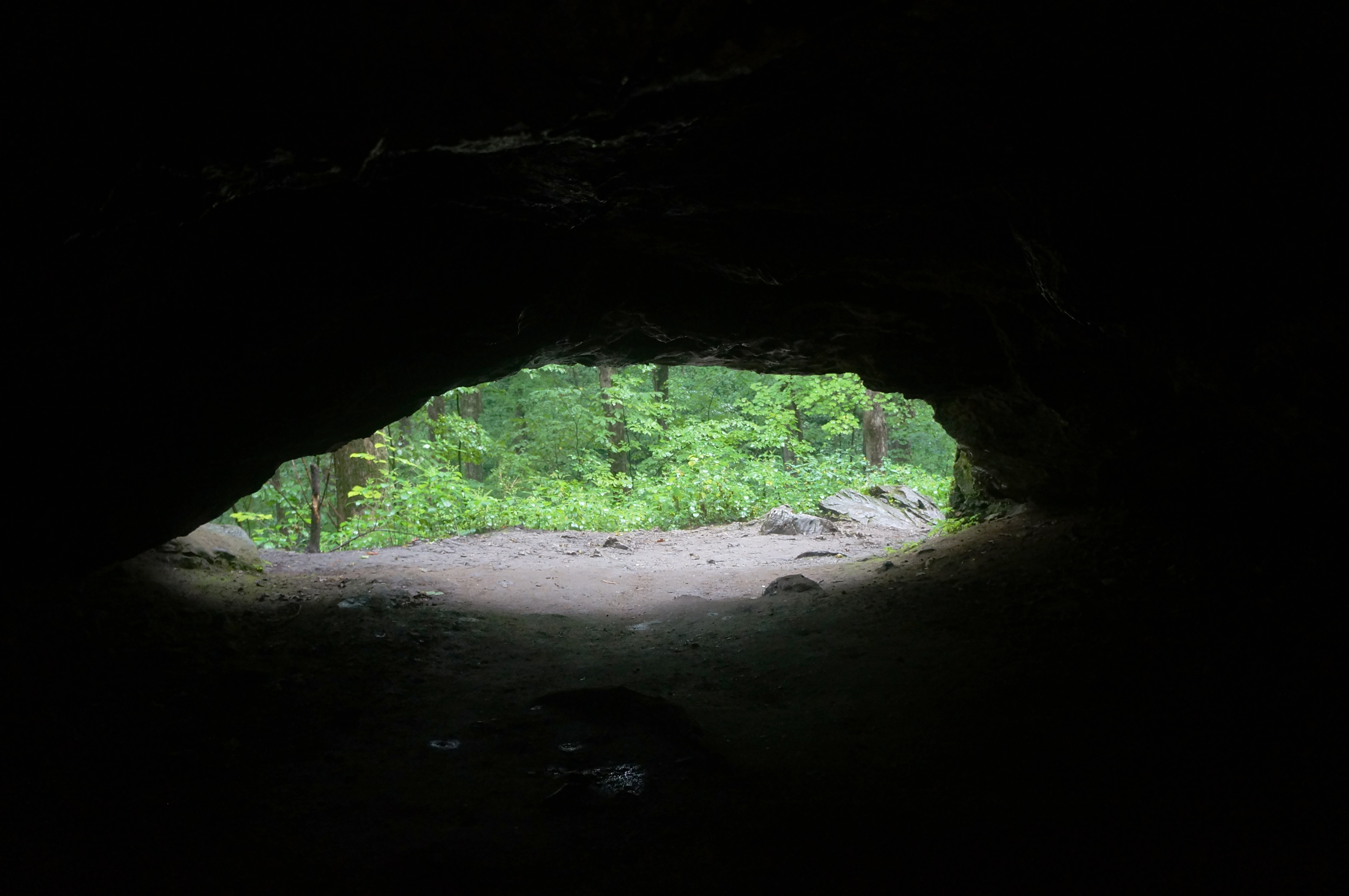
When ready, exit the cave and descend the staircase to return to the Ridge Trail, bearing left as the track curls around protruding blocks of dolomite and reaches the Raccoon Creek floodplain on the right. Treading south, the trail comes soon to the second cavern, known as Dug Out Cave, which is more or less a brief alcove with little depth.
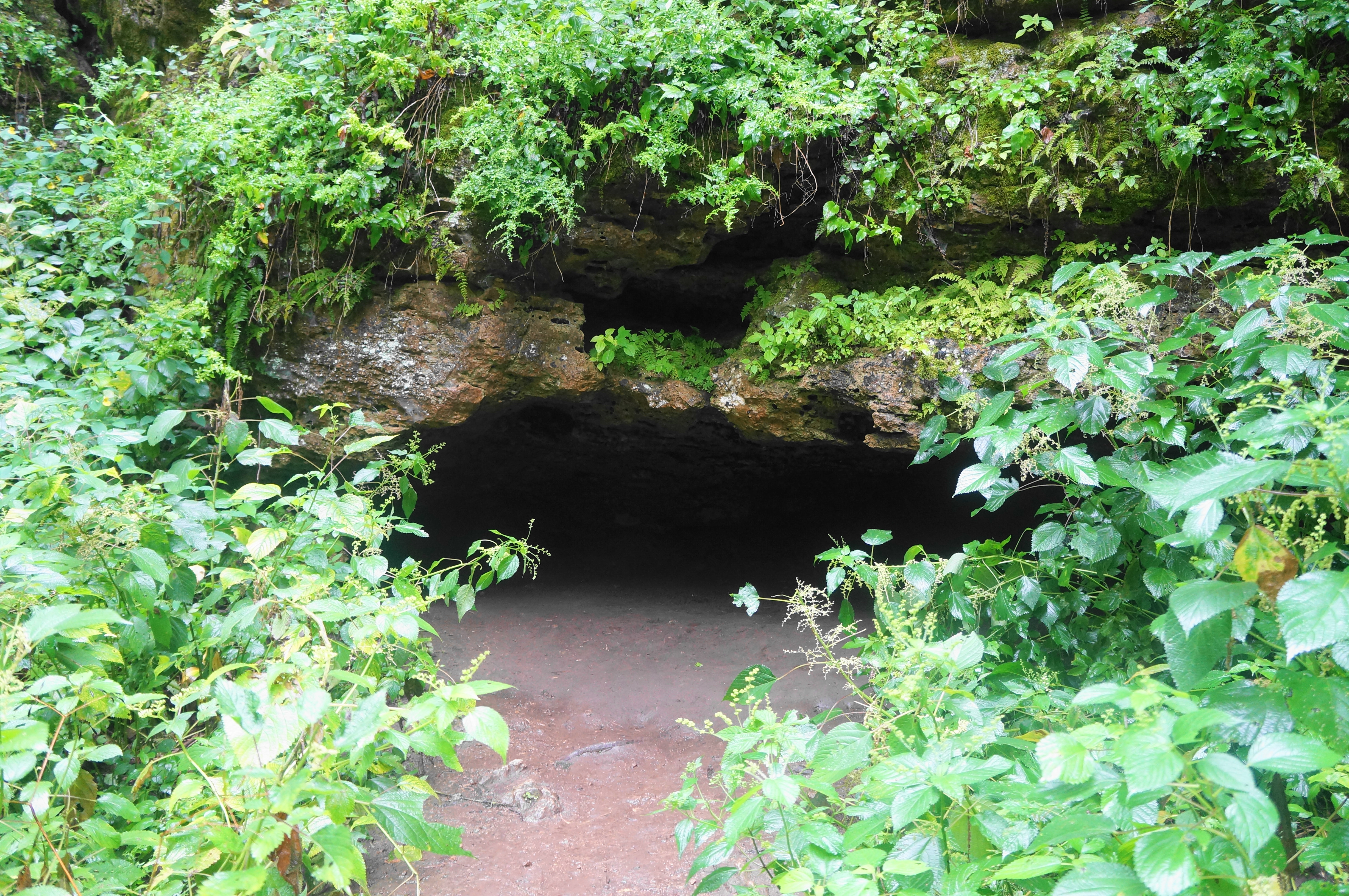
Soon after Dug Out Cave, take a left on the Caves Trail, ascending wooden steps back up to the cliffside. Follow the boardwalk past a couple of small openings that are not large enough to be considered “caves.” Then descend the stairs to Twin Arch Cave, one of only two in the park that the trail system cuts directly through (no flashlights necessary for this one).


Come out of the cave and continue past a bench on the left, reaching Hernando’s Hideaway, a cave that is a very tight squeeze and requires a good belly scramble to reach the end. It has a little bit of modest cave bacon. Just around the corner and down a staircase is the Up-N-Down Cave, a 27-foot cavern which requires dropping down a thin chute to enter (and climbing back up the challenging cleft to exit). Neither of these I would recommend for casual spelunkers.


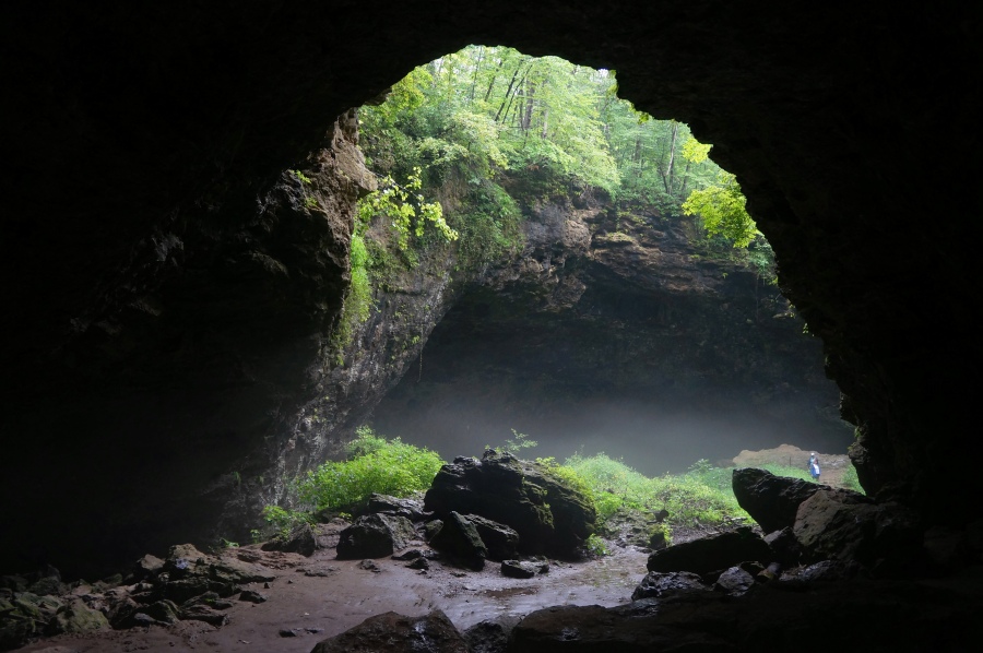
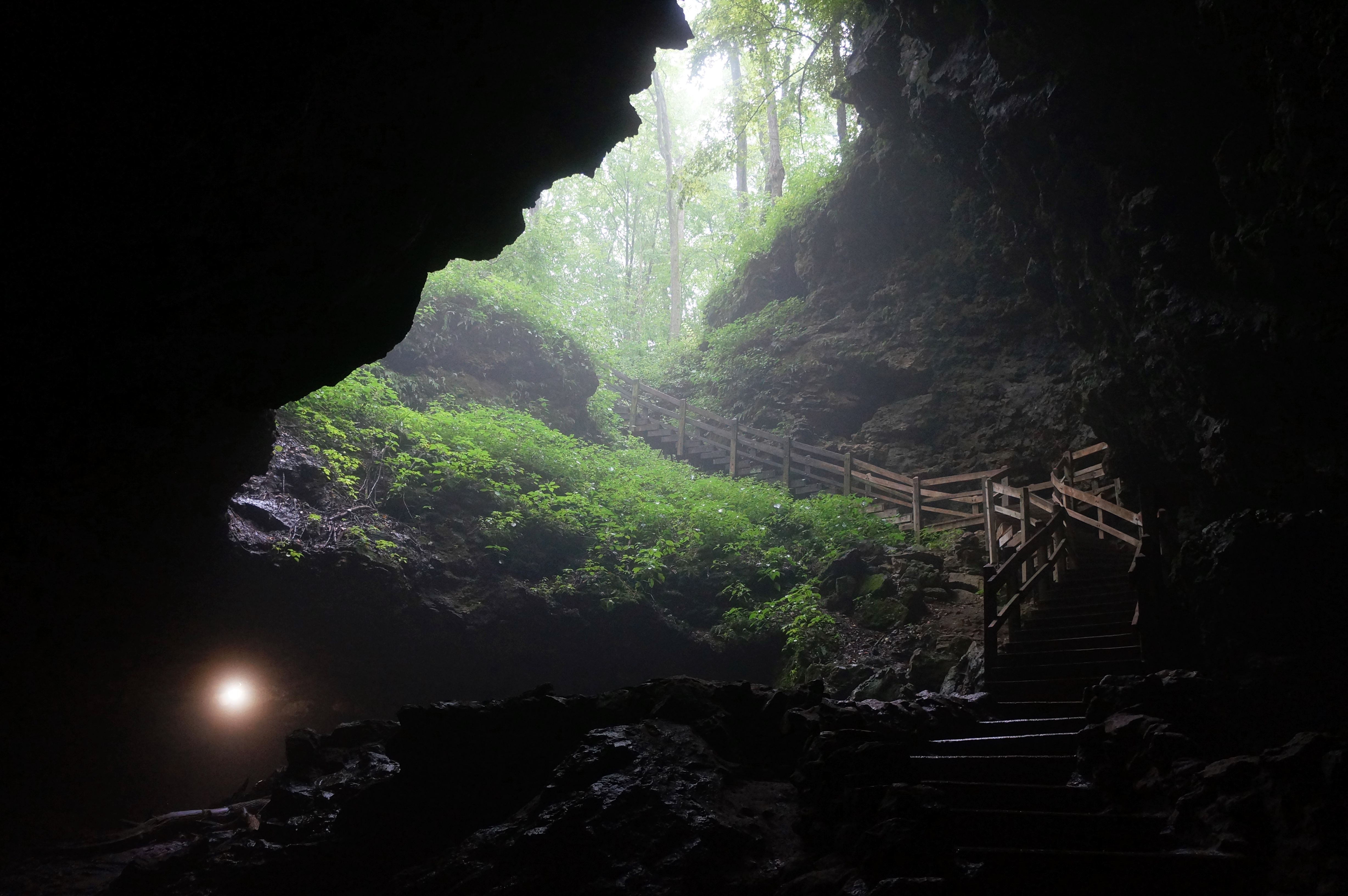
After Up-N-Down, take the next two lefts, following Raccoon Creek as it passes under the Natural Bridge, a photogenic formation and arguably the highlight of Maquoketa Caves. The trail passes right under the bridge en route to the grand upper entrance of Dancehall Cave.

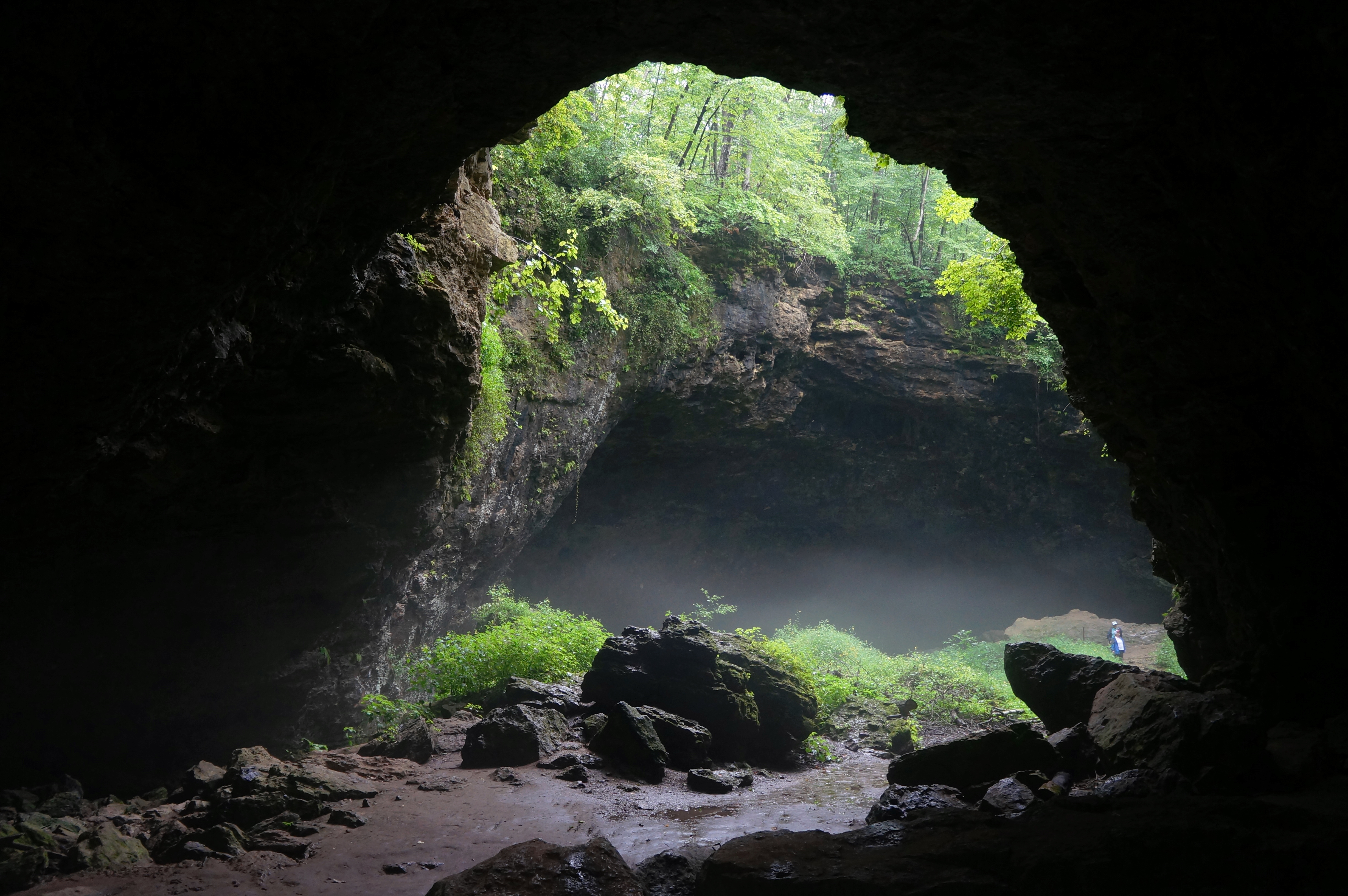
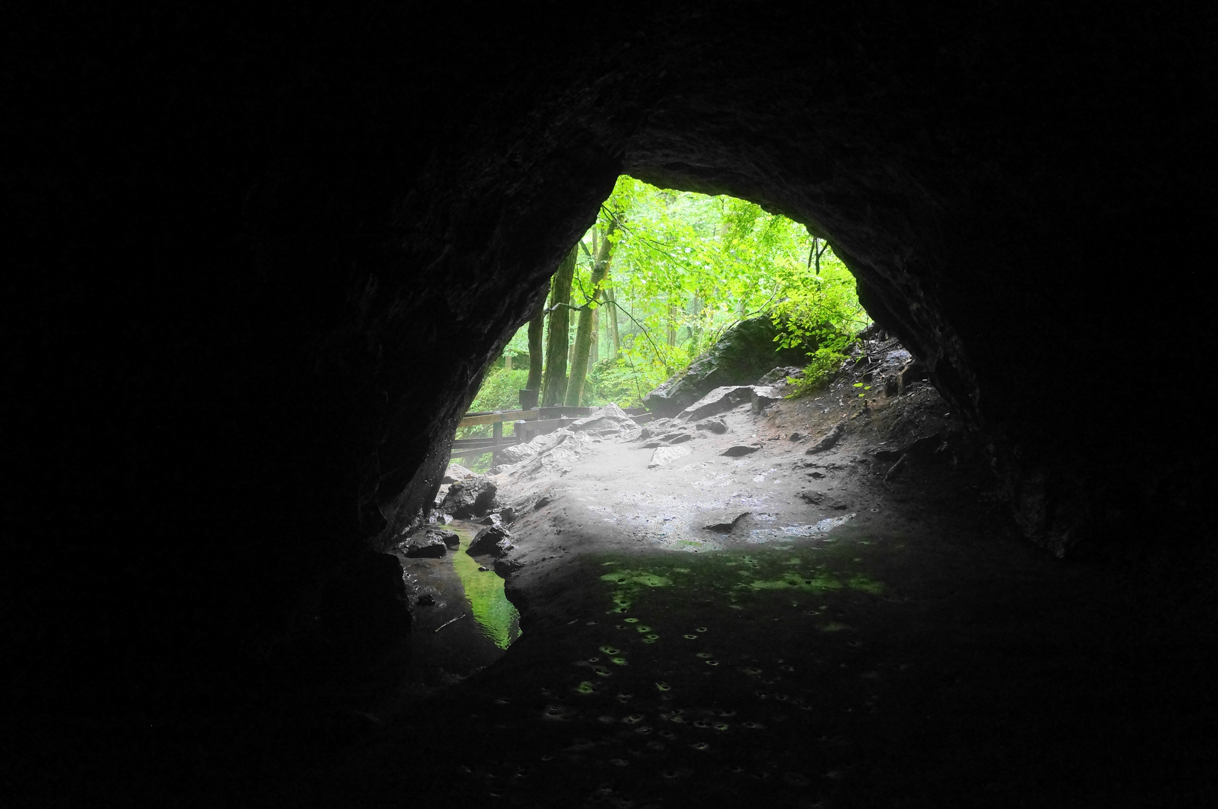
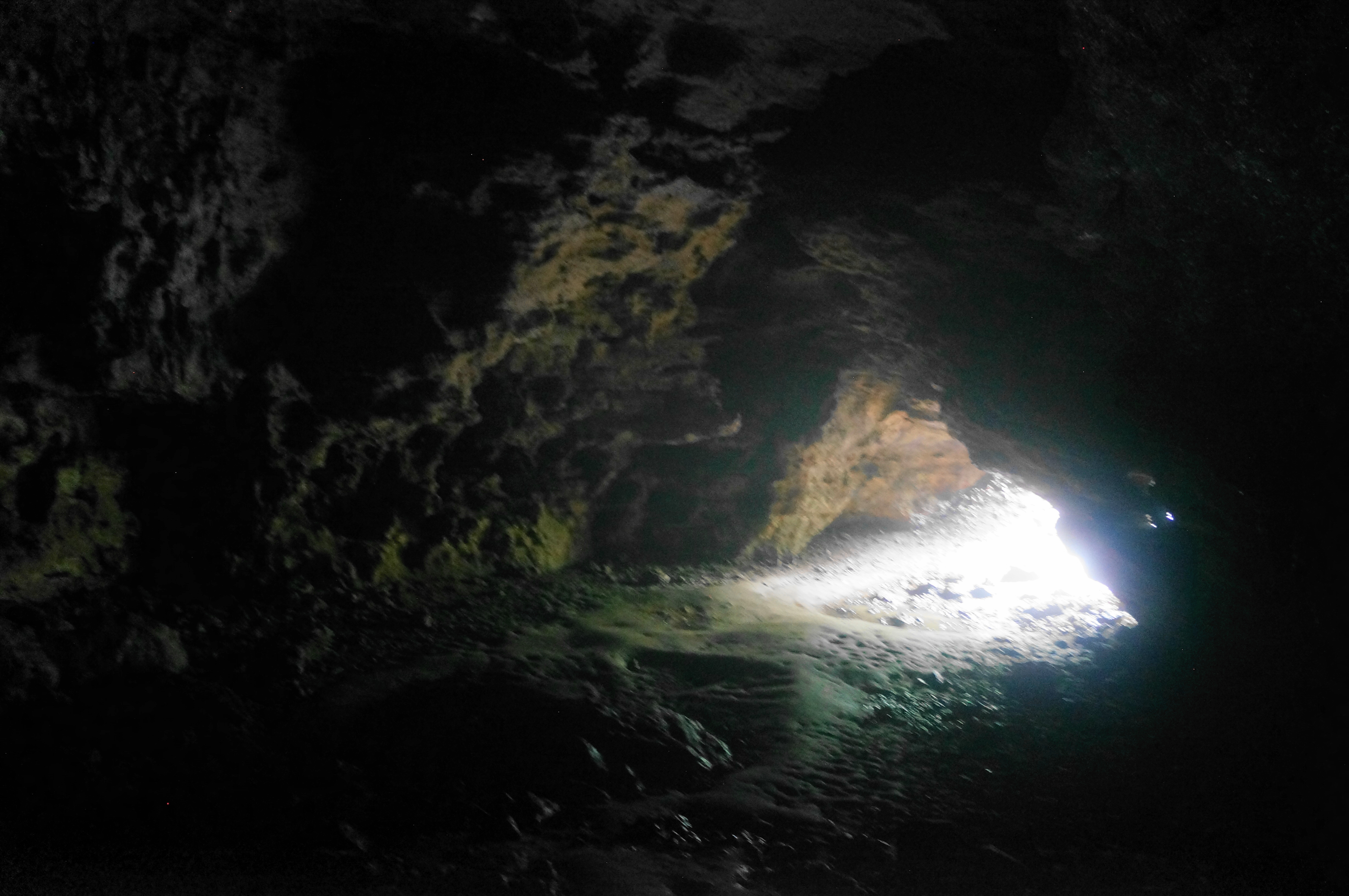
Dancehall Cave (1,100 feet long) is by far the park’s largest and begins with a descent of several dozen stairs, plunging hikers into the dark, damp passage. The asphalted path guides travelers through the water-logged tube and follows artificial light to ease the journey. Round a right-hand corner, after which the cave narrows and follows the still creek through the dolomite cavern. (Note: Hikers are passing under the road and parking area to the south side.)


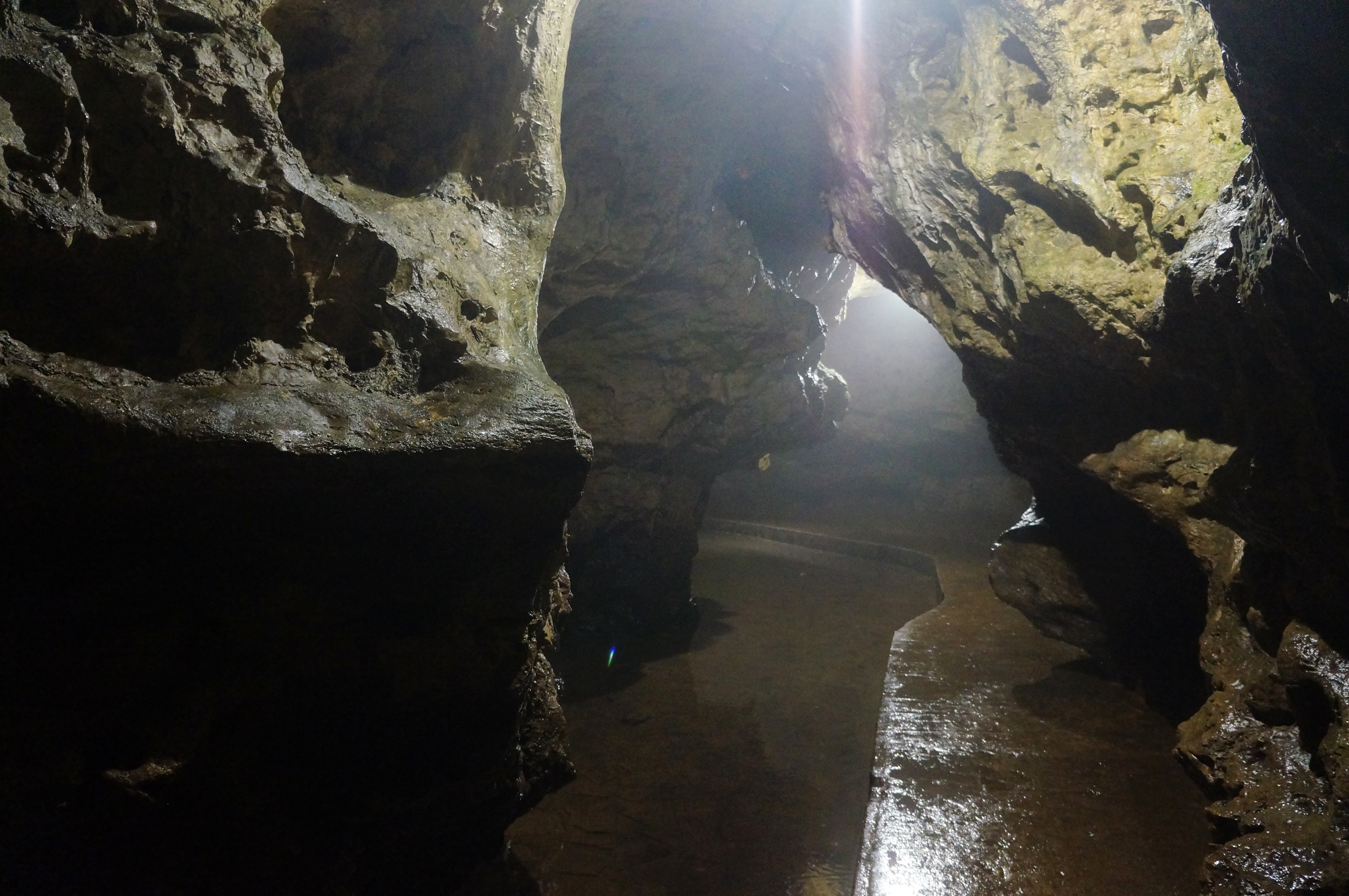

There is an opening partway, known as the Middle Dancehall Cave Entrance, with a wooden staircase leading up and out of the cave area. Pass this on the right and continue through the lower cave. This portion is shorter and ends with a more modest entrance and a junction.


Here hikers have a choice to stay low in the stream valley or to rise to two other caves. Take the latter, bearing left, and cross a wooden bridge over Raccoon Creek. The trail then climbs to Rainy Day Cave, a damp cavern with two rooms, fed by one of the creek’s tributaries.

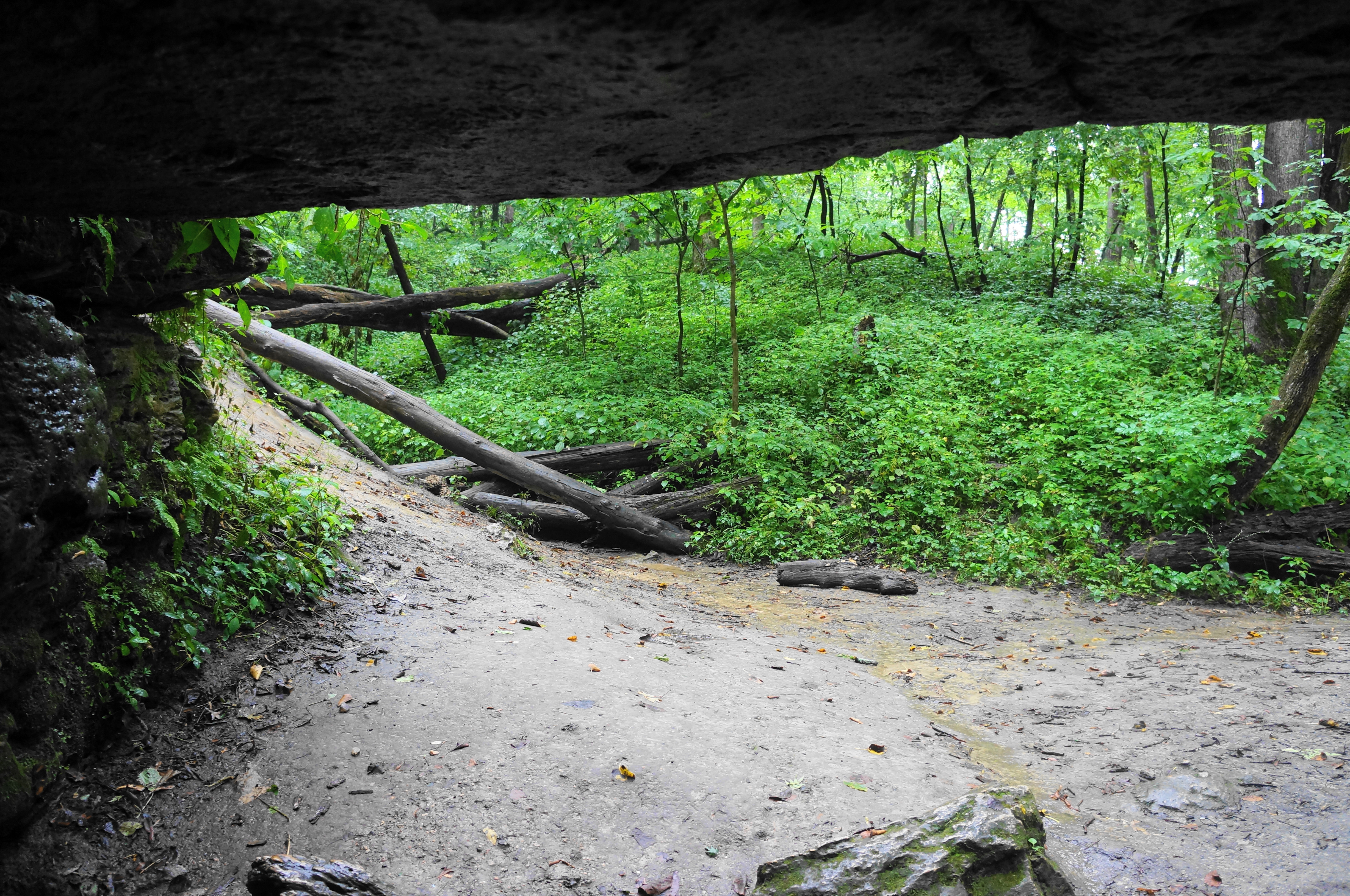
After Rainy Day, the trail reverts to dirt again, then ascends stone steps through a narrow cleft in the rock. Stay left at the next junction, continuing to follow the cliff walls. The path thereafter is more rigorous, requiring negotiating stony up-and-downs. Ice Cave is the next attraction and is more or less one large room and a small one with no water.
Stay on the cliffside trail until another junction, this time bearing left and rising up another wooden staircase. Come to an unmarked fork and bear right, coursing south and west along the clifftops. When you reach a saddle, stay straight and climb to a gazebo with obscured views of the stream valley but some cool looks at the treetops.

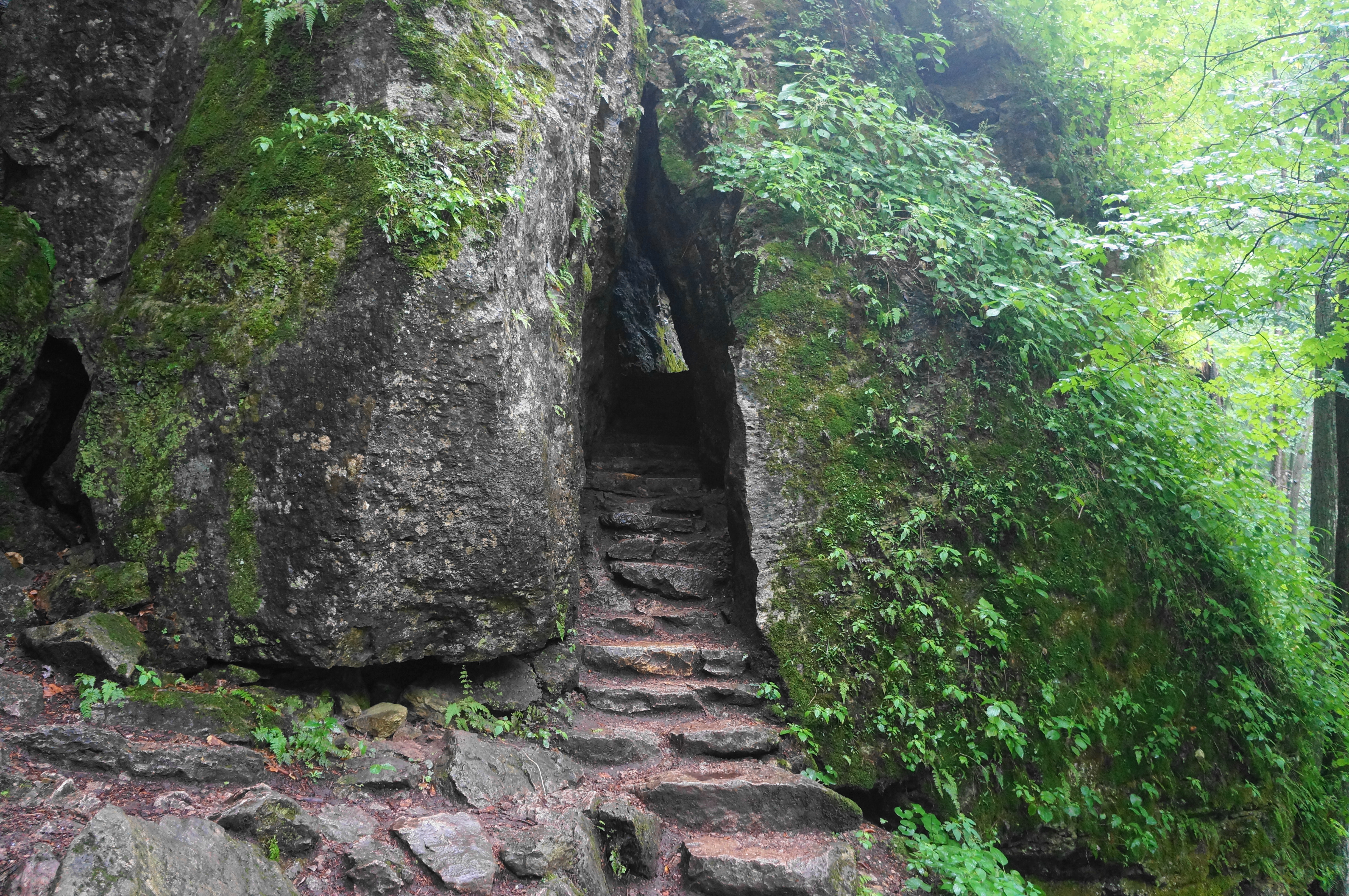
Return to the saddle and drop down to the right to the creek basin again. Bear right, now heading back in the direction of Dancehall Cave and the parking lot. After crossing over Raccoon Creek, take the next two left turns, climbing again on a wooden staircase to Shinbone Cave, a small crawlspace that goes back an estimated 75 feet. (Note: The entrance is actually sort of hidden at first glance; come to the alcove and look right, next to the wooden path up past the cave; this tunnel is the entry.)


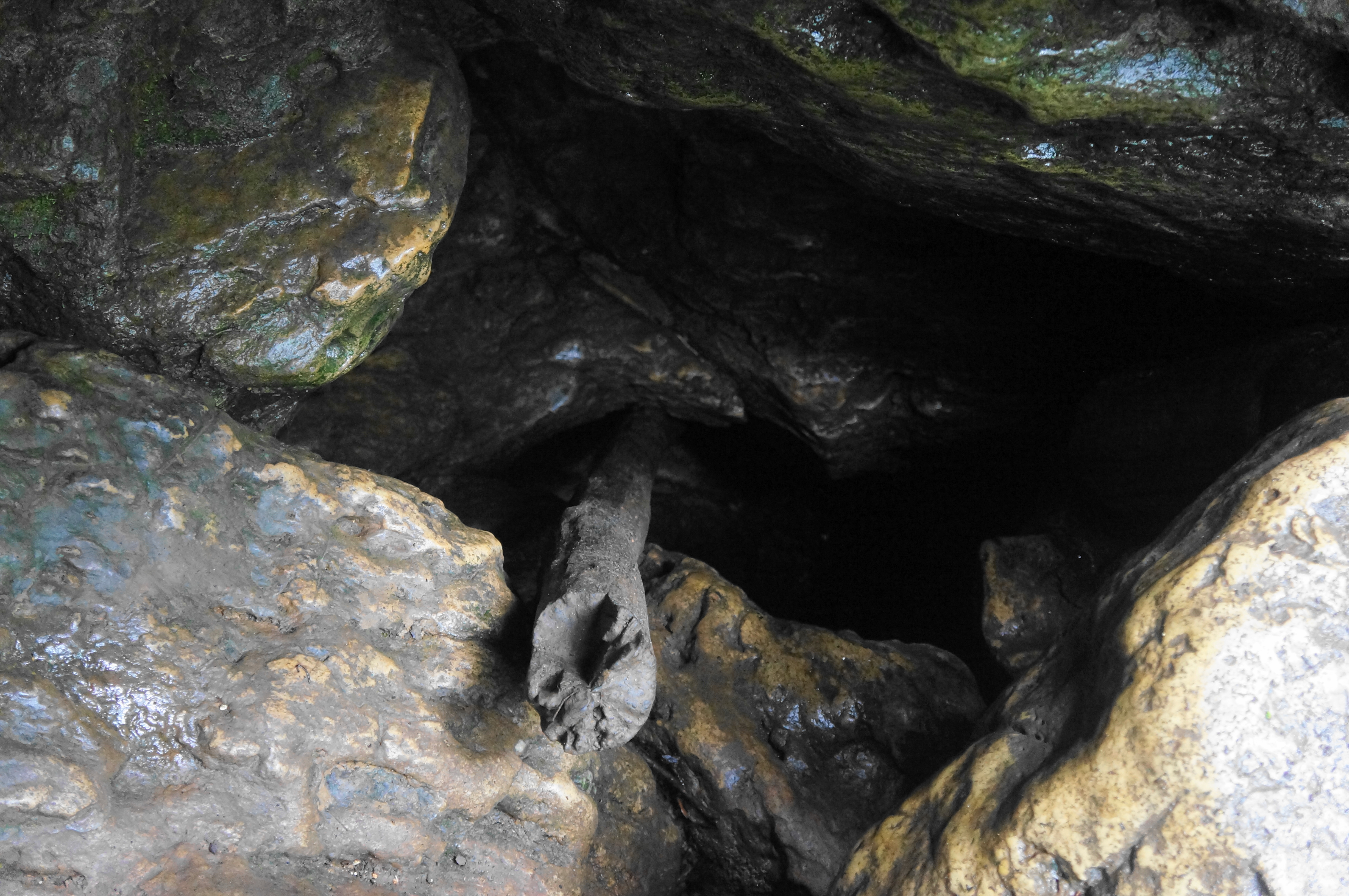
From Shinbone Cave, the onward passage gets a little confusing. One option is simply to drop back to creek level and follow the Dancehall South Trail back to the parking area. But others determined to stay up on the hightops and visit one more cave can stay left at the cave entrance, then left again at the next two junctions as the thin track rises up to the rim of the cliffs. Thereafter the path rises steeply to reach a higher plateau. Soon you’ll find the Forest Ridge Trail, which bears roughly north-south. Take a right and come soon to a drainage and short spur down to Wye Cave, actually a network of cave passages but with a big barrier to entry: a 6-foot drop that is difficult to navigate. (Note: As of summer 2024, there was a log wedged in the cave to assist with climbing in and out.)

It is a short walk from Wye Cave through the woods north to the Maquoketa Caves Campground. Here hikers will find the main road again; take a right and walk for a couple minutes to return to the parking area. This concludes a 1.6-mile hike that hits most of the caves (it misses Barbell, Match, and Window Caves) and can take as little as an hour (if skipping the spelunking portion) and as a long as most of a day (if you try your hand at all 10).
In a state better known for its open pastures and level plains, Maquoketa Caves is a refreshing anomaly and well worth the stop for those travelling through the area.

Pingback: Top 10 Hikes in 2024 – Live and Let Hike