Note: This is part of a multi-post series chronicling the many possible day hikes in the East Bay’s Briones Regional Park, a 1,600-acre tract nestled east of the Berkeley Hills, west of Mount Diablo, and south of Martinez and Carquinez Strait. I tackled these hikes over the course of several years living in the area between 2019 and 2024. For others in this series, see here.
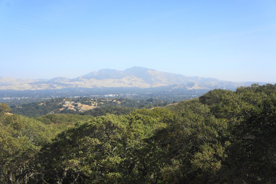
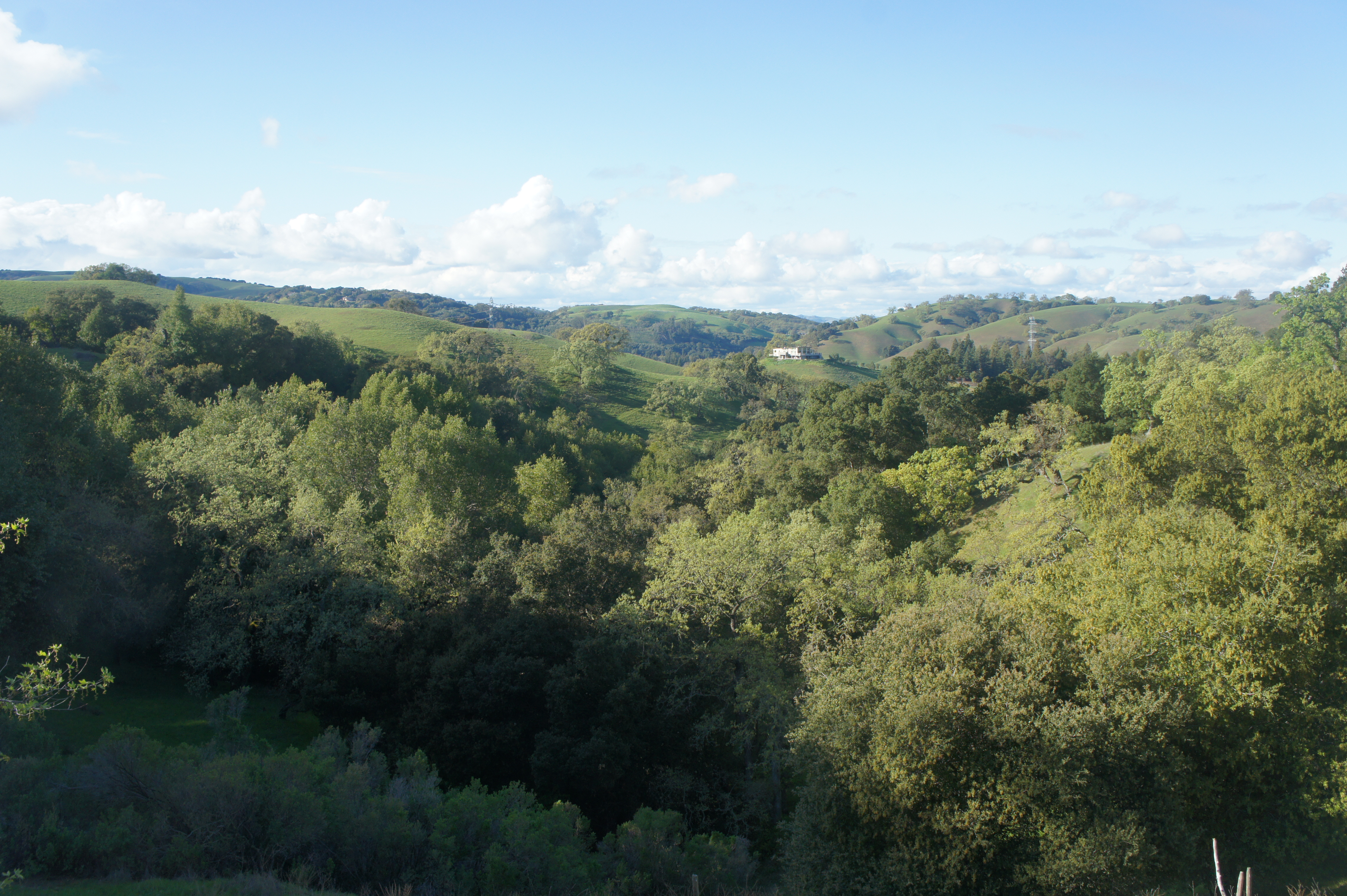
Covering 1,600 acres of former ranching territory in northern Contra Costa County, Briones Regional Park offers some of the most extensive hiking of all the many parks in the East Bay. Here a network of mostly fire roads weave in and out of woody valleys, climb to panoramic peaks, and offer ridgetop views of the Berkeley Hills, Carquinez Strait, Mount Diablo, and Ygnacio Valley. Access points are plentiful, including the Alhambra Creek (map), Bear Creek (map), Briones Road (map), Lafayette Ridge (map), Springhill Road (map), and Reliez Valley (map) Staging Areas. Each of these spots offers an entrée into the scintillating hills, which tend to be more pleasant during the winter and spring, when rains leave the hills lush with verdant green hues and wildflowers (and cool temperatures scare away the rattlesnakes!).
Alhambra Creek Staging Area
This post covers short jaunts and longer hauls starting from the Alhambra Creek Staging Area (map), situated in the northeast corner of Briones Regional Park. This is the easiest parking area to reach from Martinez and is popular with horseback riders. The stream valley here feels more cut off from the rest of the park, with all the hikes here staying below the Briones Crest. But there is a mix of woodier and hilltop options, with five relatively short walks described below.
Tavan Trail (0.75 mi. out-and-back)
Difficulty: Easy
There’s little reason to do the short and largely flat Tavan Trail, unless of course your goal is to complete every hike in the park. This sunny path is effectively a connector trail, providing access from the Alhambra Creek Staging Area to a suburban neighborhood in neighboring Martinez. From the staging area, head east on the Diablo View Trail but then divert left at the first junction, following the signs for Tavan Trail. Stay right at the next unmarked junction (with the Hayfield Trail), after which the mild climb levels off. The remainder of the hike is a flat and sunny stroll to the edge of the park and subdivision beyond. Return the way you came.


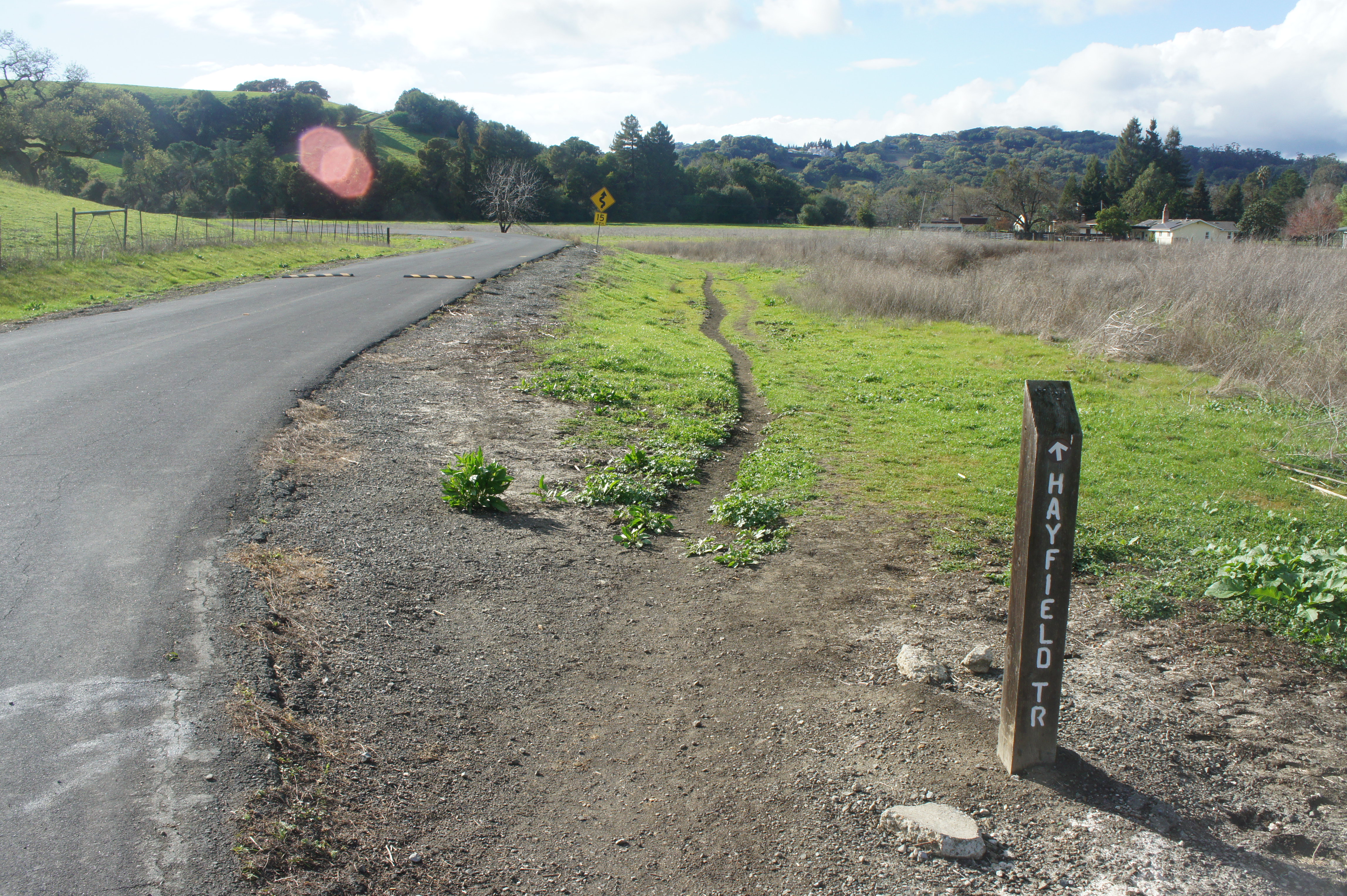
Hayfield Trail (1.5 mi. loop)
Difficulty: Easy
Compared to other hikes in Briones, the Hayfield Trail is rather unpleasant: the path is peppered with cow pies and horse droppings, and much of the path follows the road. Yet determined hikers can trace the 1.5-mile circuit starting from Alhambra Creek Staging Area. Begin by following the Tavan Trail eastward, then bear left as the Hayfield Trail ascends an open hillside and passes under a set of power lines. Follow the single-track path as it descends toward the park entrance, leveling with Brookwood Drive at ¾ mile then passing private horse stables on the right. Cross the road, then follow the dirt track back to the staging area, keeping the road on the left.

Hidden Pond Trail (2.2 mi. out-and-back)
Difficulty: Easy
The Hidden Pond Trail is an improvement in terms of scenery and exits the park to the east before ending at a ritzy neighborhood in Reliez Valley. The namesake pond is elusive, but the trail does pass a set of drainage ditches just after leaving the park. From the staging area, follow the Diablo View Trail uphill for ¼ mile, then bear left on the Hidden Pond Trail, which dips up and down before leaving Briones at ½ mile. Continue on the singletrack, staying left at the fork and paralleling the drainage ditches, then climb steeply to crest a scenic hill. From here the trail descends again, down a set of switchbacks, then levels off as it cuts behind a gated subdivision and ends at the junction of Hidden Pond Road and Hidden Pond Lane. Return the way you came.


Alhambra Creek – Diablo View Trail Loop (2.4 mi. loop)
Difficulty: Moderate
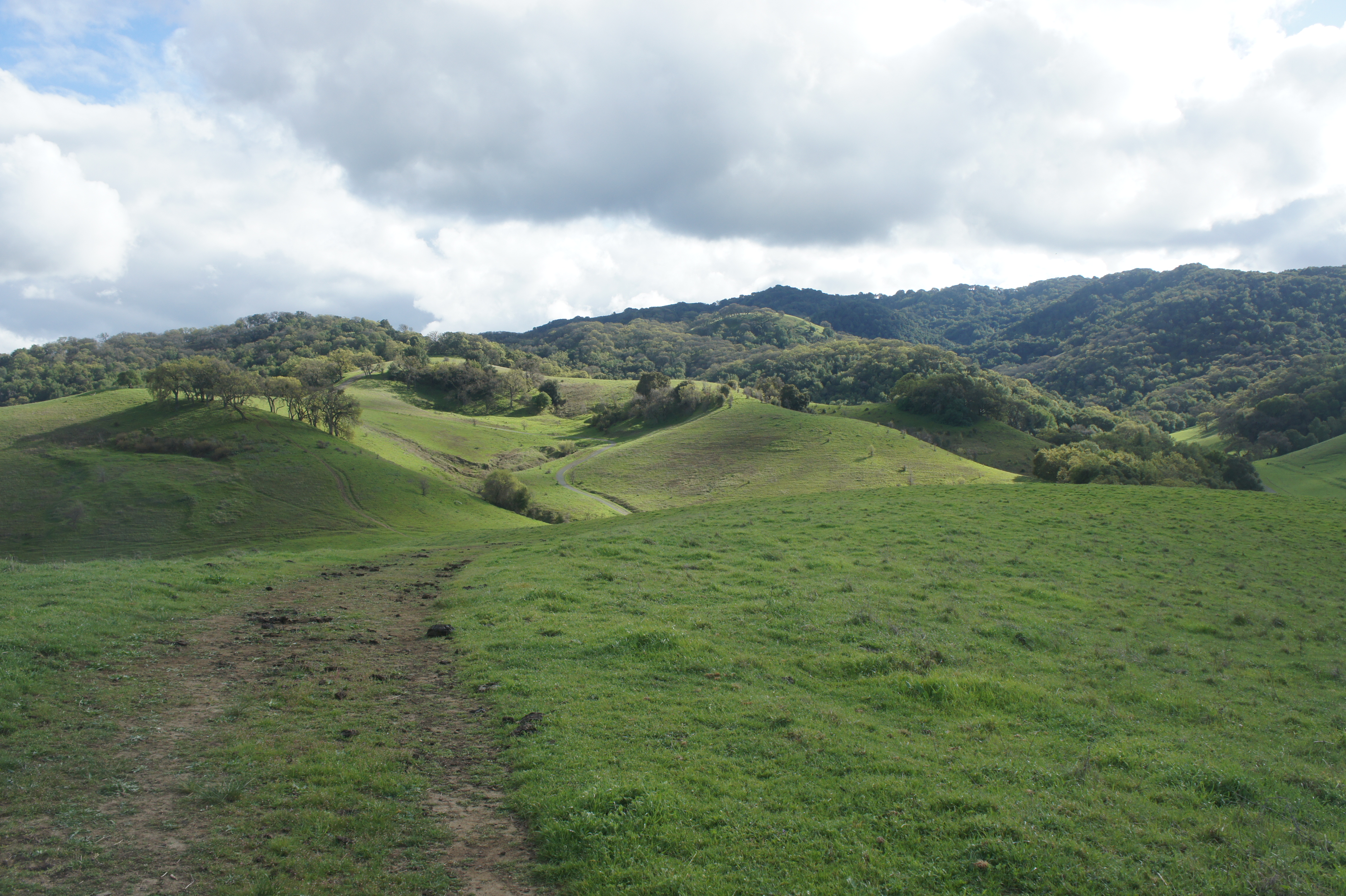
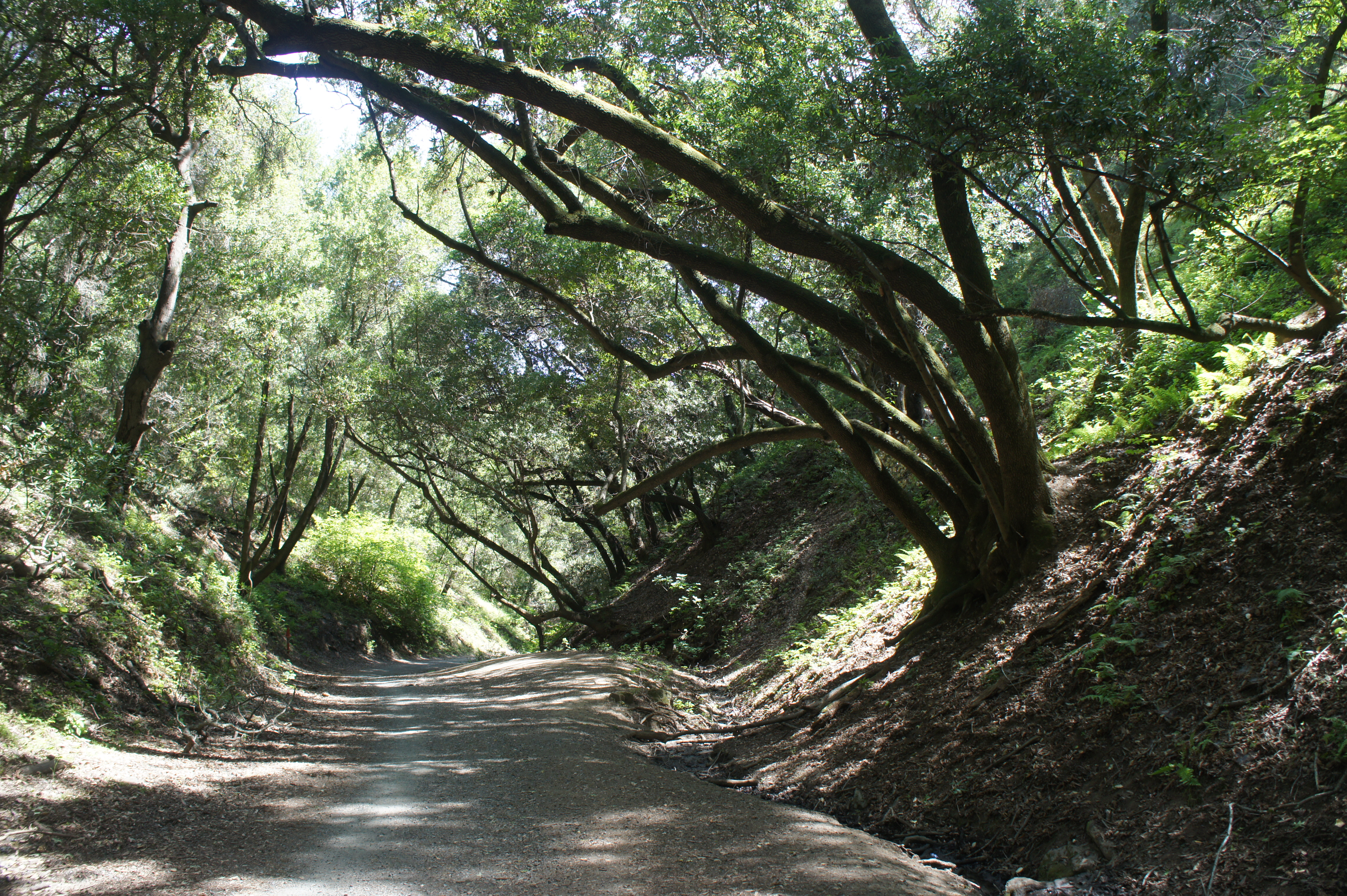
The Alhambra Creek – Diablo View Trail Loop is a relative rarity in Briones because it spends most of its time in the shade. After an initial sunny patch, the ascent through the Alhambra Creek Valley follows tree cover to the intersection with the Spengler Trail at around the 1-mile mark. Bear left, following the Spengler Trail as it climbs through groves of live oaks and valley oaks to a sunny ridgeline. Bear left on the Diablo View Trail at 1.2 miles, where a break in the trees to the east provides views of the namesake peak, one of the highest in the Bay Area. After a couple ups and downs, the Diablo View Trail descends steeply and reemerges out of the woods again, with sweeping views northward toward the Alhambra Creek Valley and Mount Wanda. Ignore the spur trail heading left at 2.1 miles (it leads to a pump station), then stay left at the junction with the Hidden Pond Trail beyond. From here the path snakes down the grassy hillside to another fork (stay left), before returning to the starting point at Alhambra Creek Staging Area.


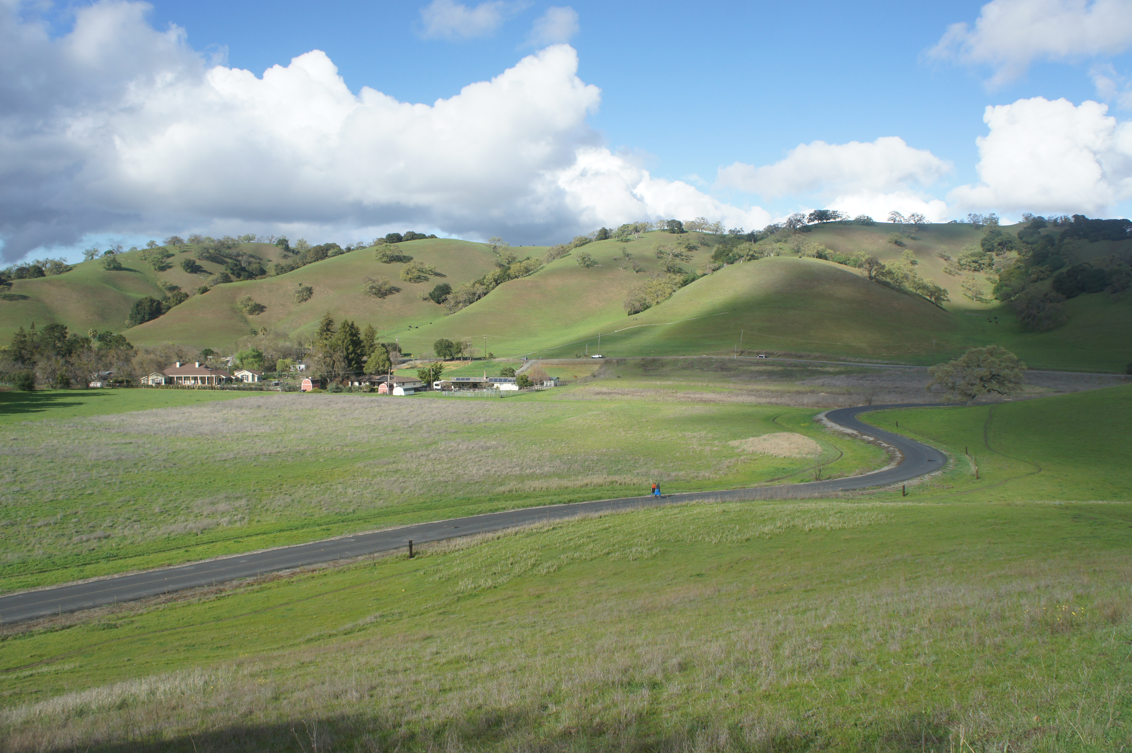
Orchard – Old Briones Road – Alhambra Creek Trail Loop (4.4 mi. loop)
Alternative Trailhead: Briones Road
Difficulty: Moderate
This longer hike connects the Alhambra Creek and Briones Road Staging Areas by way of a 4.4-mile circuit that explores a grassy ridgeline and shady stream valley. Start at the Alhambra Creek Staging Area, heading west on the Orchard Trail, which climbs gradually to cross Briones Road, then reaches a fork with the Pine Tree Trail at ¾ mile. Bear left, dropping down a slope with open views of Alhambra Valley, then stay left at the next fork at 1.15 miles. Bear left again 175 yards later, then ascend the Pine Tree Trail to the Old Briones Road Trail at 1.6 miles. Follow this path for 1.2 miles, passing the Briones Road staging area. Head left at Maricich Lagoons, dropping into welcome shade on the Spengler Trail, which weaves mildly eastward; at 3.4 miles, bear left on the Alhambra Creek Trail, following it for a mile back to the parking area.


Pingback: Top 10 Hikes in Briones Regional Park – Live and Let Hike