
Note: This is part of a multi-post series chronicling the many possible day hikes in the East Bay’s Briones Regional Park, a 1,600-acre tract nestled east of the Berkeley Hills, west of Mount Diablo, and south of Martinez and Carquinez Strait. I tackled these hikes over the course of several years living in the area between 2019 and 2024. For others in this series, see here.
Covering 1,600 acres of former ranching territory in northern Contra Costa County, Briones Regional Park offers some of the most extensive hiking of all the many parks in the East Bay. Here a network of mostly fire roads weave in and out of woody valleys, climb to panoramic peaks, and offer ridgetop views of the Berkeley Hills, Carquinez Strait, Mount Diablo, and Ygnacio Valley. Access points are plentiful, including the Alhambra Creek (map), Bear Creek (map), Briones Road (map), Lafayette Ridge (map), Springhill Road (map), and Reliez Valley (map) Staging Areas. Each of these spots offers an entrée into the scintillating hills, which tend to be more pleasant during the winter and spring, when rains leave the hills lush with verdant green hues and wildflowers (and cool temperatures scare away the rattlesnakes!).
Park Office & Briones Road Staging Area
In this post, I describe hikes that start and end at the Park Office (map) and Briones Road Staging Area (map). These trailheads are in the northern reaches of the park and set in a woodier area in and around Toyon Canyon. The road to Briones Road Staging Area—situated just off Alhambra Valley Road in Martinez—is paved but very narrow; be careful as you round the winding bends to the popular parking area. Here there is also a ranger residence and communications equipment.
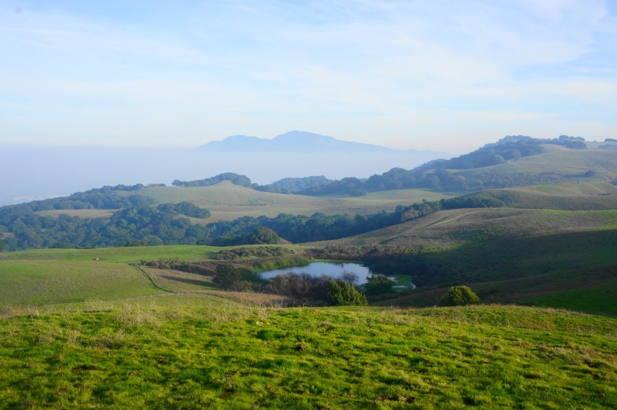
This is the closest access point for Maricich and Sindicich Lagoons, seasonal ponds set below the Briones Crest. Below I describe three hikes in the area, ranging from 1.25 to around five miles in length. The panoramic Lagoon Trail is a highlight.
Orchard – Pine Tree Trail Loop (1.25 mi. loop)
Trailhead: Park Office
Difficulty: Easy
This short loop partly ascends a hillside with modest views and diverse flora, including a nice eucalyptus grove and namesake pines. Start and end at the Park Office, heading east on the Orchard Trail as it follows a shady ravine under a canopy of eucalyptus before bearing south and climbs about 150 feet up a steep but brief slope. Bear left on the Pine Tree Trail at ½ mile and gradually descend toward Toyon Canyon, enjoying northward views across Alhambra Valley. At 9/10 mile, bear right at the fork, passing through the gate. From here, it is a short downhill walk to the Park Office; from the office, follow the service road back to the trailhead.


Old Briones Road – Toyon Canyon Trail Loop (3.6 mi. loop)
Trailhead: Briones Road
Difficulty: Moderate
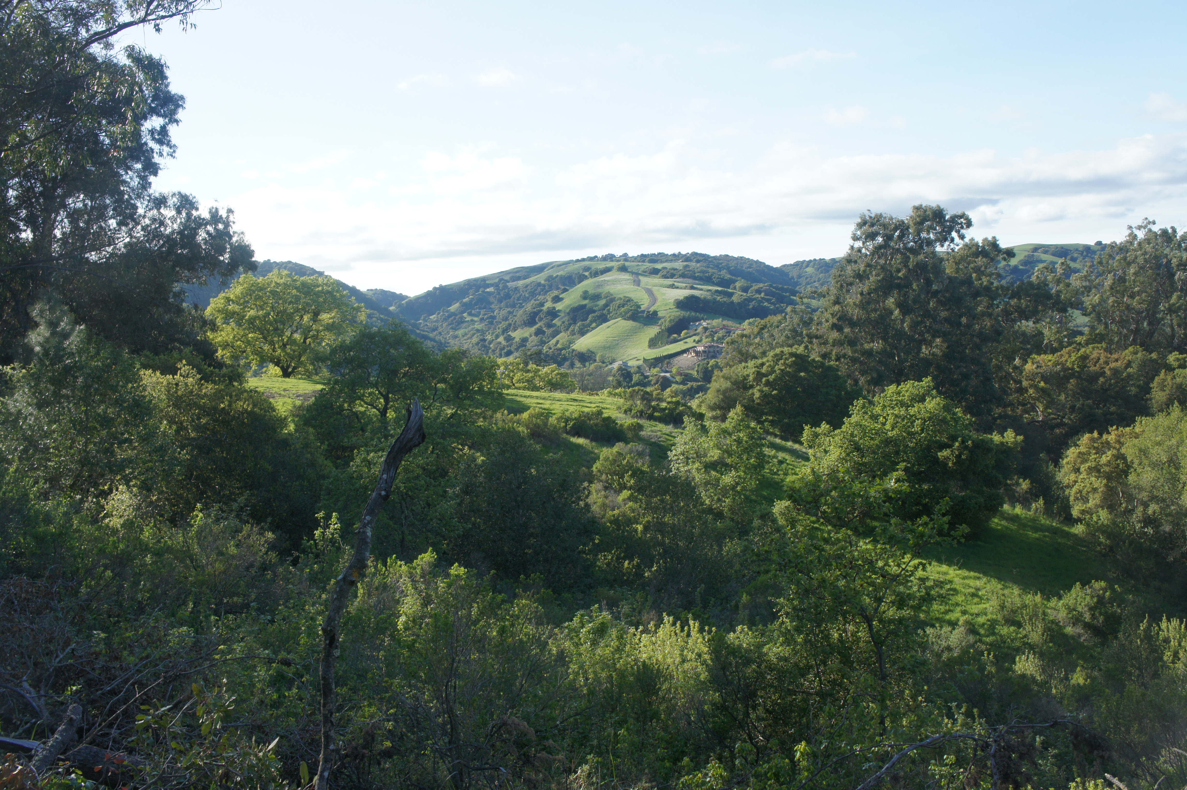
A pleasant mix of bay/oak woodlands and open expanses, this moderately-difficult hike forms a circuit that starts and ends at the Briones Road Staging Area. (Note: Alternatively, one can complete this loop—with a quarter-mile connector—from the Park Office.) Follow the broad and largely level Old Briones Road Trail southward, staying right at the first junction at Maricich Lagoons at 7/10 mile. Traverse an open expanse before taking another right on the Briones Crest Trail, which features sweeping views north to the Carquinez Strait. The landslide-created Sindicich Lagoons lie ahead at 1.25 miles; bear right on the Lagoon Trail. Descend into the woods, then bear right on the Toyon Canyon Trail at 1.8 miles. Here the path drops precipitously, crosses the canyon, then climbs partway up the opposite hillside. Turn right at 2.9 miles on the Pine Tree Trail, then follow the dusty path through a small grove of its namesake flora, up a sunny hillside, then alongside the Briones Road to return to the trailhead.


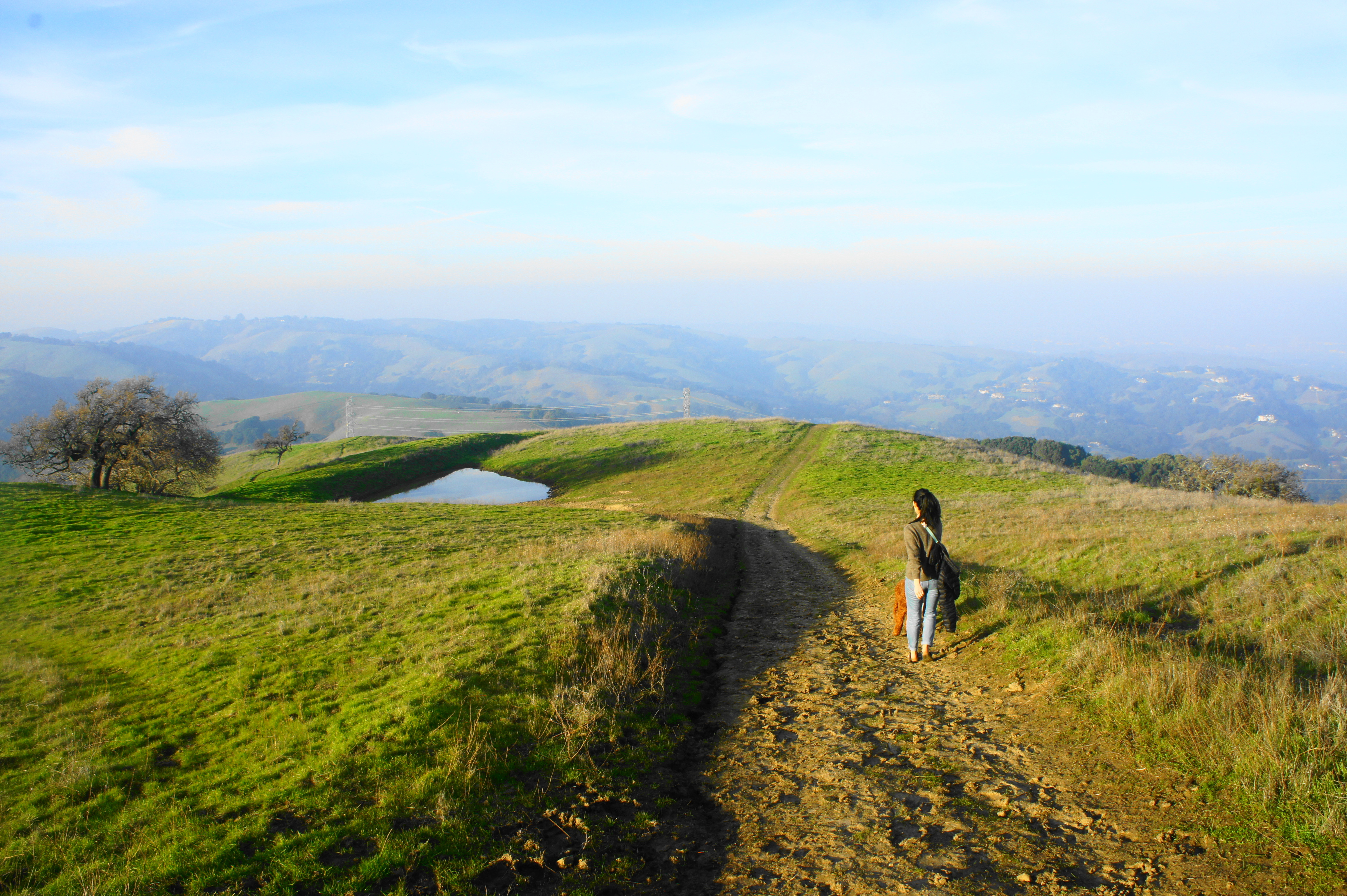
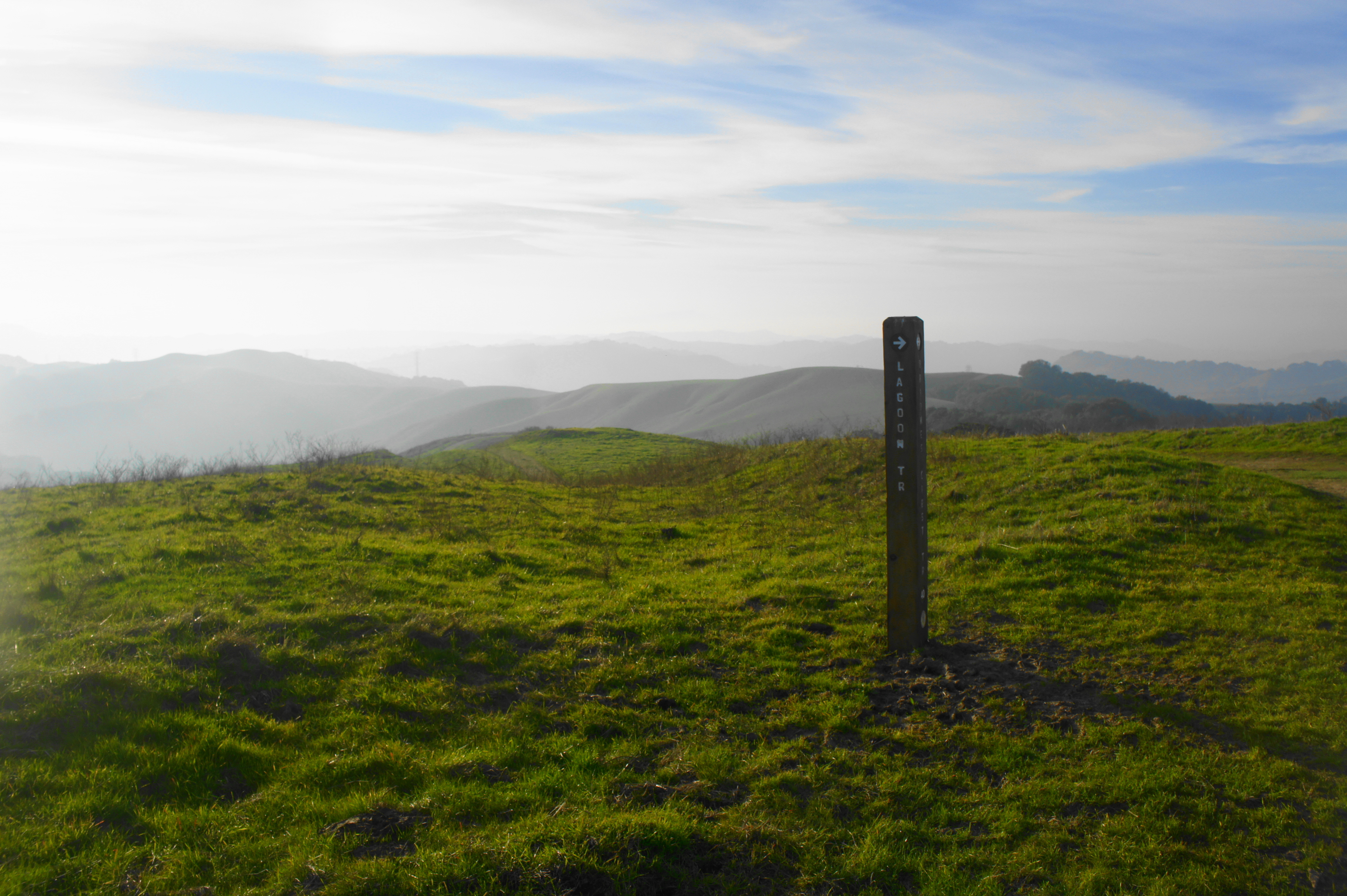
Lagoon Trail Loop (4.9 mi. stem-and-loop)
Trailhead: Briones Road
Difficulty: Moderate
The Lagoon Trail Loop, starting and ending at the Briones Road Staging Area, is a longer and more scenic alternative to the Old Briones Road-Toyon Canyon Trail Loop, passing through the heart of the John Muir Nature Area. Follow the Old Briones Road Trail south to Maricich Lagoons, then bear west on the Briones Crest Trail with good vistas of Martinez and the Carquinez Strait to the north. Passing Sindicich Lagoons, stay on the Briones Crest Trail until about the hike’s two-mile mark, then bear right on the scenic Lagoon Trail, which features panoramic views of the area. After cresting a couple of hills, descend and stay right at 2.25 miles, following the trail east, then south to meet back up with the Briones Crest Trail. Return the way you came, 1.25 miles back to the trailhead.


Pingback: Top 10 Hikes in Briones Regional Park – Live and Let Hike