

Capitol Reef National Park features 17 distinct layers of sedimentary rock, a total that greatly surpasses a majority of parks in the American southwest. To enjoy the splendor of more than half of them, consider the short but remote hike to Strike Valley Overlook in the park’s marvelous Waterpocket District. Here the eastern profile of the Waterpocket Fold—a 100-mile long wrinkle in the Earth’s crust—is on full display, as are the stepped badlands of the Mancos Shale to the east, topped by the often snow-capped peaks of the Henry Mountains. The view reveals a rainbow of colors, making this viewpoint arguably the most impressive in the park.
The hike
Despite its spectacular beauty, Strike Valley Overlook receives relatively few visitors due to its remote location. It’s a nearly 2-hour, 48-mile journey down unpaved tracks to the trailhead from the Capitol Reef Visitor Center—and that’s with a high-clearance vehicle and good road conditions. Visitors without high-clearance cars can capably drive 0.4 mile on the Strike Valley Road (a corollary of the unpaved but well-groomed Burr Trail Road), but beyond this point the road becomes considerably more rugged. Sandy slopes and numerous rock obstacles litter the remaining 2.5 miles to the trailhead.
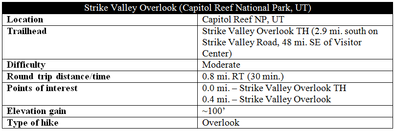
The end of the rough track serves as a double trailhead—drop into the wash bottom heading north for the spectacular, 9-mile stem-and-loop trek through Upper Muley Twist Canyon. Head east for the short, 10- to 15-minute climb to Strike Valley Overlook.
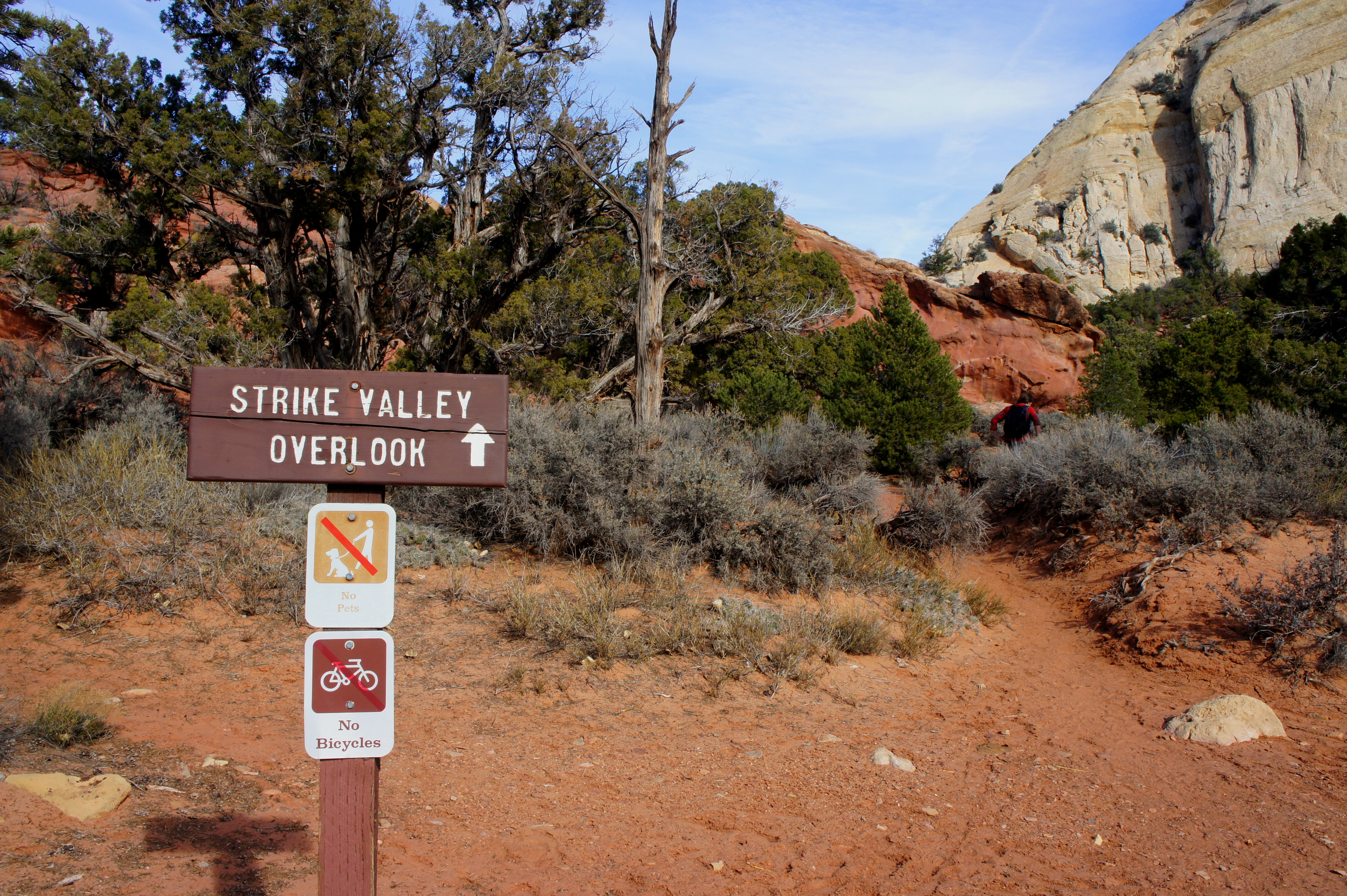
The sandy trail begins amid a relatively dense forest of pinyons, junipers, and sagebrush. A few minutes on, the way becomes harder to follow, though all logical routes effectively lead down to a wash bottom. Look for cairns on the slickrock slope above for an indication of where to exit the sandy gulch. The ascent from here requires two friction climbs that may be difficult in wet conditions or without proper footwear.
After cresting the second slickrock slope, a sizeable cairn to the south marks the end of the hike. From here, awe-inspiring views unfold to the east. Strike Valley Overlook sits atop a dip in the Waterpocket Fold, at crest level dominated by cream-colored Navajo sandstone. The rock layers below are younger, deposited during the late Jurassic and Cretaceous periods (circa 60-150 million years ago). In descending order, they are: Page sandstone, Carmel formation, Entrada sandstone, Curtis formation, Summerville formation, Morrison formation, Cedar Mountain formation, Dakota sandstone, Mancos shale, and Mesaverde formation. The “chevrons” of the Carmel formation are the most vivid, bleeding a deep red color—it’s a precipitous, several-hundred-foot drop to this layer from the top of the Navajo-capped fold. Orange globs of Entrada sandstone, the next layer, are found just beyond the Carmel. The Curtis and Summerville layers are at this point submerged, but the pastel-colored bentonite hills of the Morrison and thin spine of beige-tinted Dakota are easily spotted. Finally, the adjacent slope, across Strike Valley to the east, is dominated by the thick Mancos shale, deposited in the mid-Cretaceous. Tarantula Mesa and Swap Mesa are the most prominent landmarks.
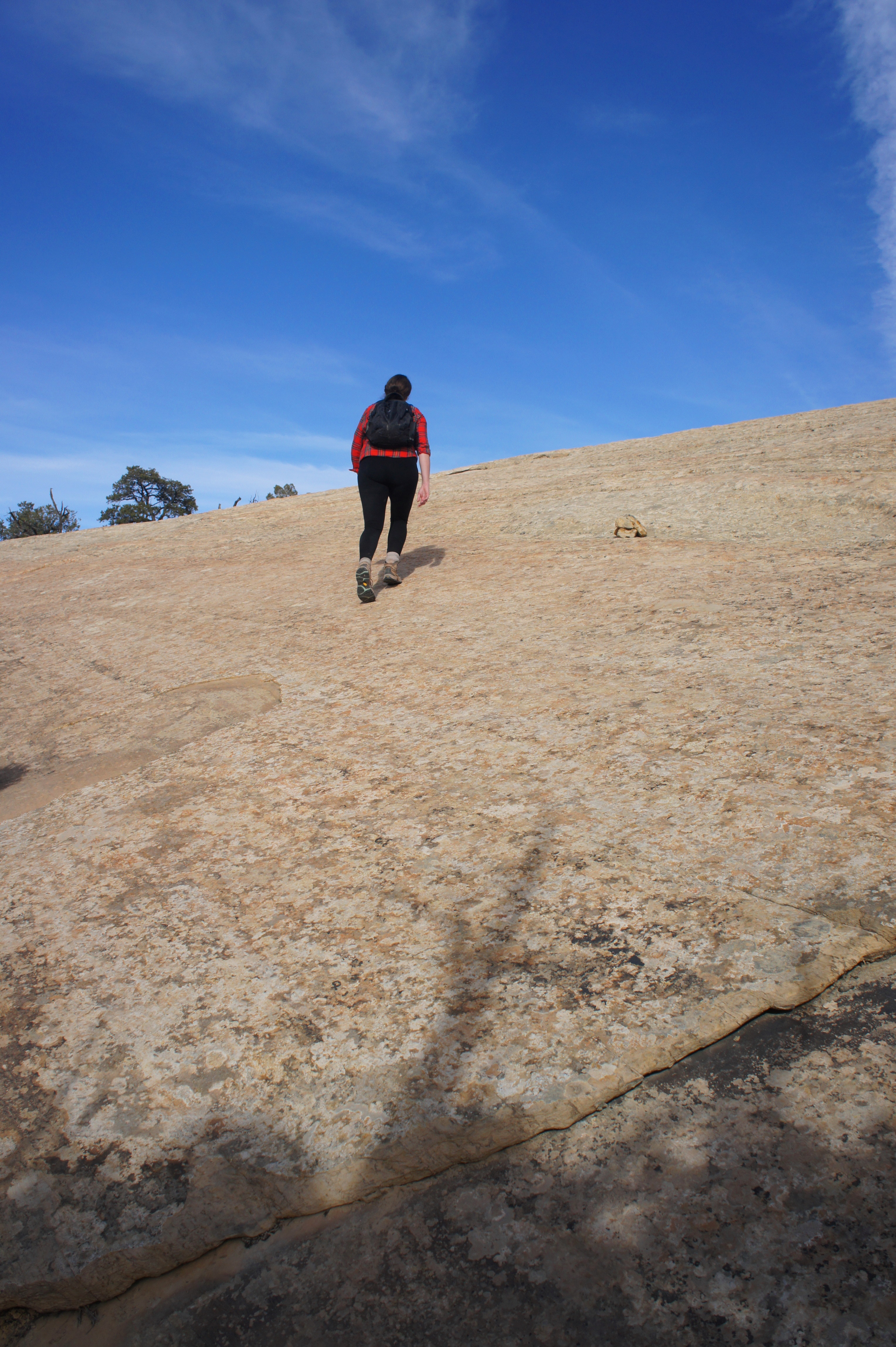
Looking back west toward the trailhead, the dominant rock layer is the reddish-orange Wingate sandstone, which in this area has eroded into a bevy of smooth slickrock slides, knobs, hoodoos, and arches. (On the way back to the Burr Trail, look for two double arches in the Wingate on your right.) Between the Navajo and Wingate is the ledge-forming Kayenta formation—the ninth sedimentary layer visible from the overlook.
Return the way you came—allot a half-hour for the short hike, or more to fully absorb the fine vistas.

Pingback: Upper Muley Twist Canyon (Capitol Reef National Park, UT) | Live and Let Hike
Pingback: Top 10 Hikes in Capitol Reef National Park’s “Backcountry” | Live and Let Hike
Pingback: Tropic: Basecamp to see South Utah's Parks - Your Hallmark Moment