Colorado Highway 82 and Independence Pass

Highway 82 from near Independence Pass, Colorado, August 2015

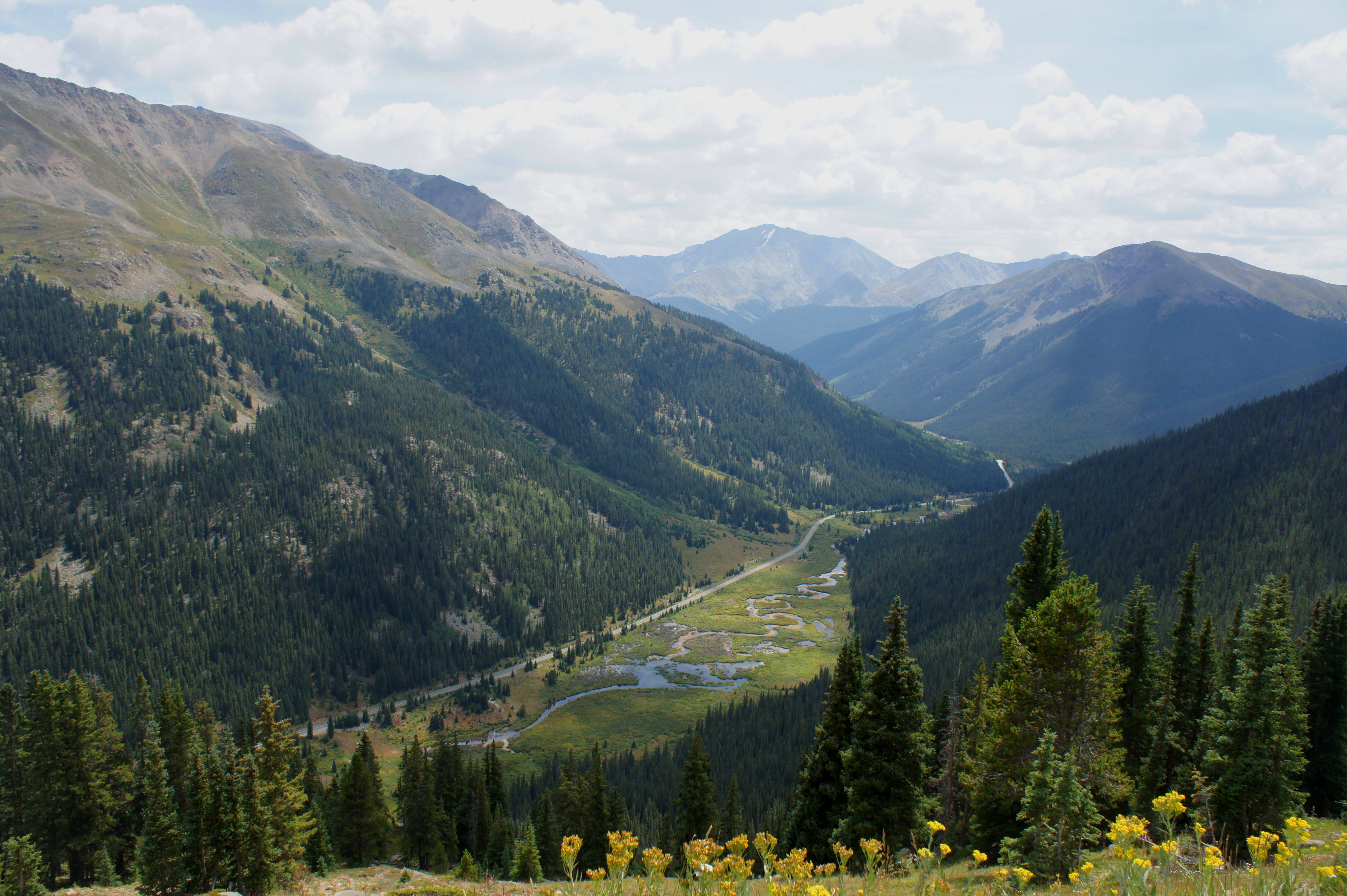
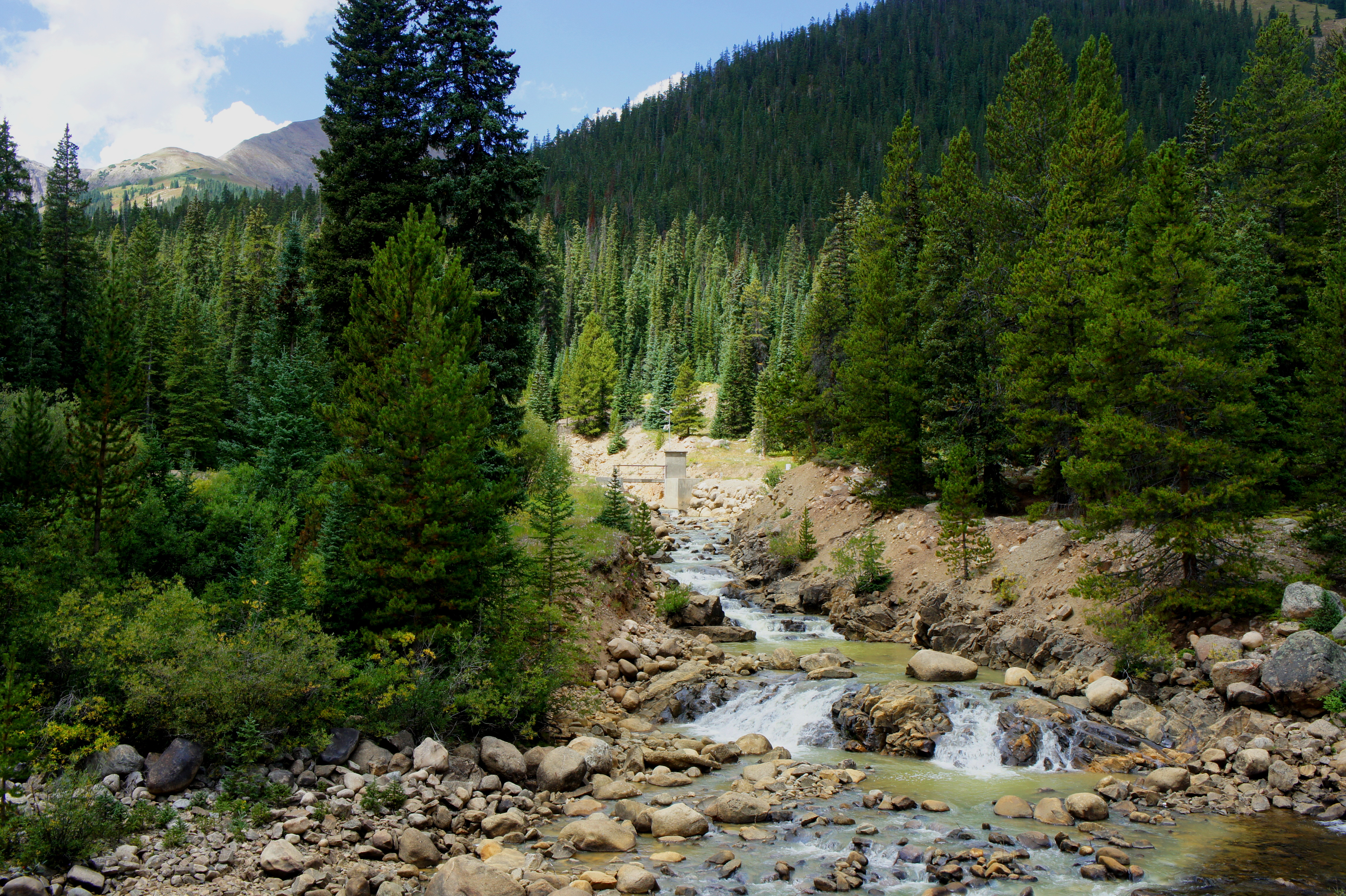
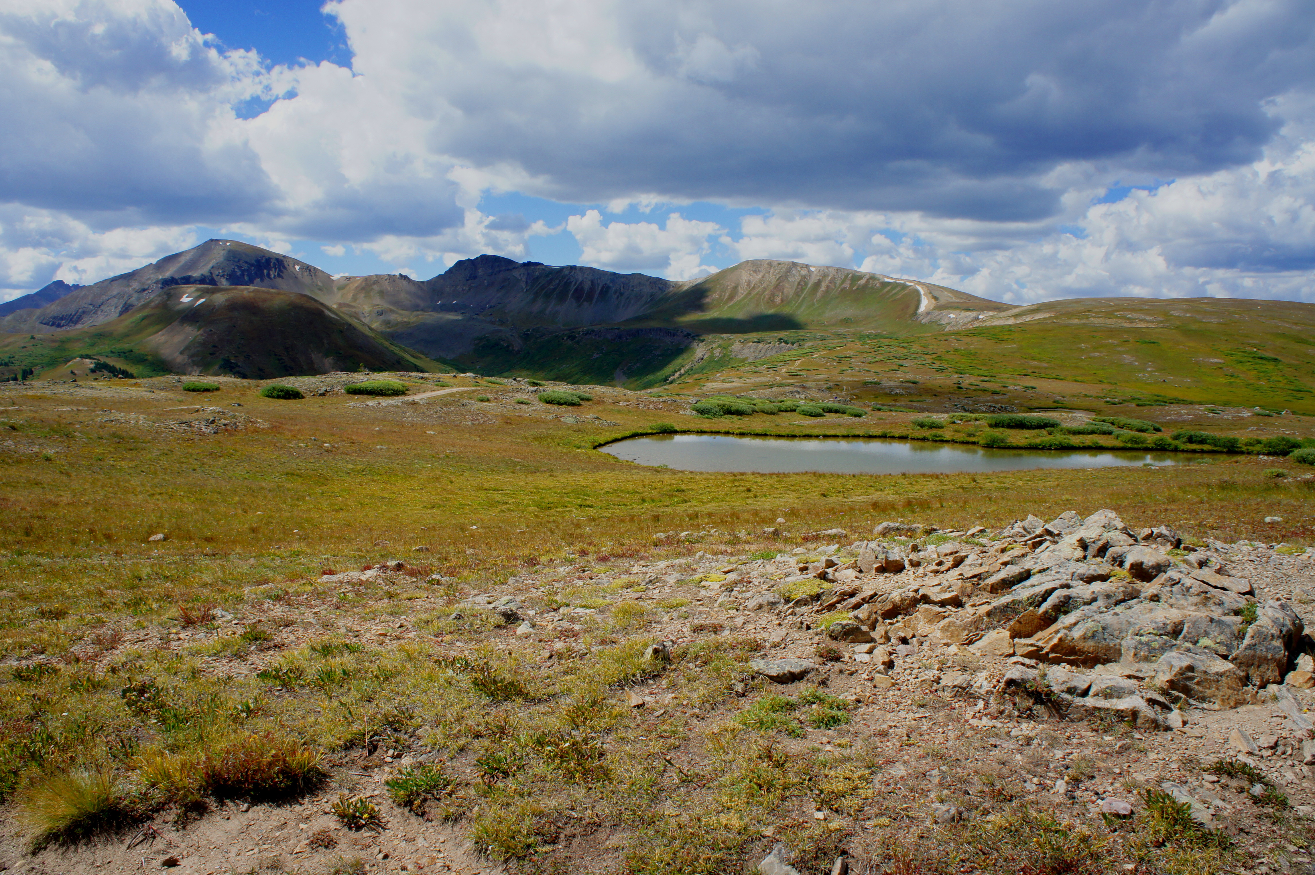
The 58-mile drive between Leadville and Aspen, Colorado is one of the finest scenic byways in the state. Highlights include the rushing waters of the Roaring Fork River, a stop at the mysterious Grottos, and stunning panoramas from Independence Pass, which—at 12,095 feet—is one of the highest points in the country reachable by paved road. Highway 82 also provides access to dozens of hiking trails, including strenuous climbs to a pair of fourteeners—Mount Elbert (14,433’) and La Plata Peak (14,361’). A short, wheelchair-accessible (though steep) trail leads to a nice viewpoint atop Independence Pass.

See below for a sprinkling of photos from this wonderful drive, ordered roughly from east to west.

Twin Lakes and Twin Peaks (13,333') from near the east end of the scenic byway
Twin Lakes and Twin Peaks (13,333′) from near the east end of the scenic byway
Golden rock beach along Lake Creek, near Snyder Falls
Small waterfall on Graham Gulch, off Highway 82 southeast of Independence Pass
View south from Independence Pass, toward Mountain Boy Park, Point 13,198', and Ouray Peak (12,957')
View south from Independence Pass, toward Mountain Boy Park, Point 13,198′, and Ouray Peak (12,957′)
View southeast from Independence Pass, toward Lackawanna Peak (13,590') and La Plata Peak (14,361')
View southeast from Independence Pass, toward Lackawanna Peak (13,590′) and La Plata Peak (14,361′)
View of Roaring Fork Valley from near the Weller Lake Trailhead
Popular swimming hole near the Grottos, en route to Aspen, Colorado

One thought on “Colorado Highway 82 and Independence Pass

Leave a comment