
Cunningham Falls, Maryland’s tallest, is the focal park of the state park bearing its name, but there are plenty of other worth destinations in this 6,000-acre wilderness a short striking distance from Frederick, Maryland. Cat Rock offers nice, albeit not fantastic, views of the surrounding Catoctin Mountains, but the real gem is the “rock” itself: a towering jumble of exposed, chalk-colored quartzite.

The hike
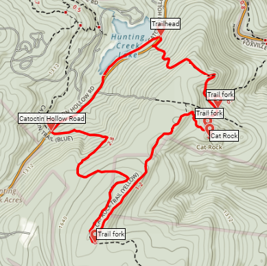
Many visitors reach Cat Rock by way of an out-and-back from a parking area along Route 77 (aka Foxville Road), across the street from Catoctin Mountain Park, which—unlike Cunningham Falls State Park—is managed by the National Park Service. A longer loop option begins and ends, however, at a parking area near the east end of Hunting Creek Lake, situated about a half-mile down Catoctin Hollow Road on the right.

While you may be easily enticed by the lake, the quickest access to Cat Rock is actually in the opposite direction: look for the foreboding Old Misery Trail across the street to the east. (Note: Per an astute reader, the start of the trail begins by a different name: “Dam Overlook” before becoming the Old Misery Trail.) Pursuant to its name, this is no easy trail, which climbs 400 feet in the first half-mile. Follow the red blazes as the well-trodden path switchbacks up the woody hillside. What starts as a mild climb quickly turns into a rocky and persistent slog that will leave some hikers short of breath. Alas, there are few unobstructed views to be had, though as the trail levels off briefly after cresting a ridge, it is possible in a couple spots to see the Catoctin Range as it extends north.

At around 7/10 mile, the worst is behind you as Old Misery begins to descend the east side of the ridge. At one mile, the trail crosses Bear Branch before ending minutes later as the path intersects the yellow-blazed Cat Rock Trail.

Bear right, heading uphill again for around 2/10 mile. In this section, the Cat Rock route passes through a grassy clearing and under a set of power lines. At 1.4 miles, take a left onto the marked spur trail to Cat Rock, arriving at the jigsaw rock pile within minutes.

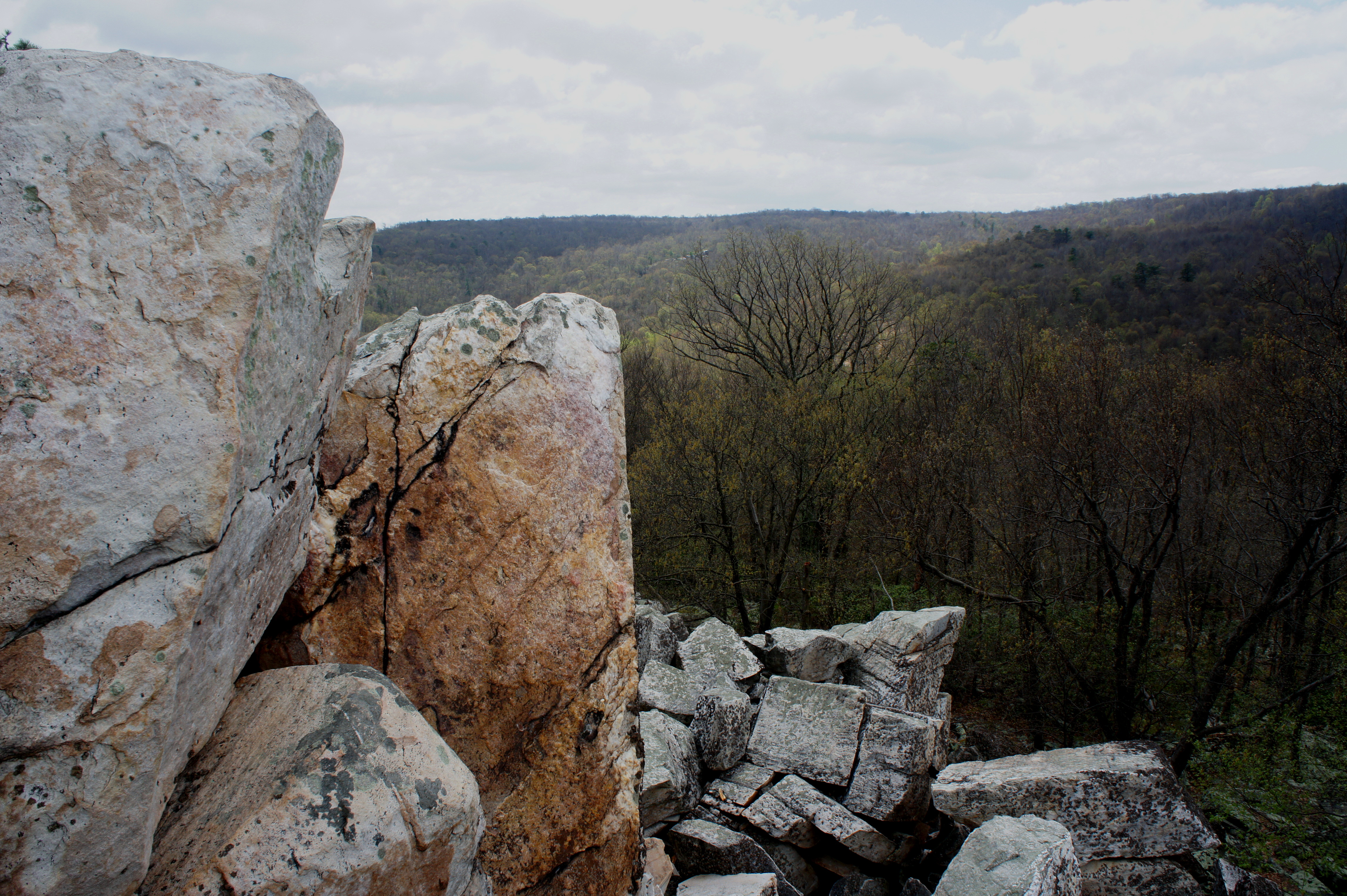
As legend has it, the summit got its name from either its resemblance to a cat or because bobcats have been spotted there. Either way, it makes sense that a sure-footed cat would be at an advantage amid in this blocky heap of quartzite; reaching the top requires hand-and-foot scrambling and a moderate dose of balance and stamina, as there are few flat spots to stop and rest. It’s virtually impossible to stand atop the highest points barring a serious sense of daring.
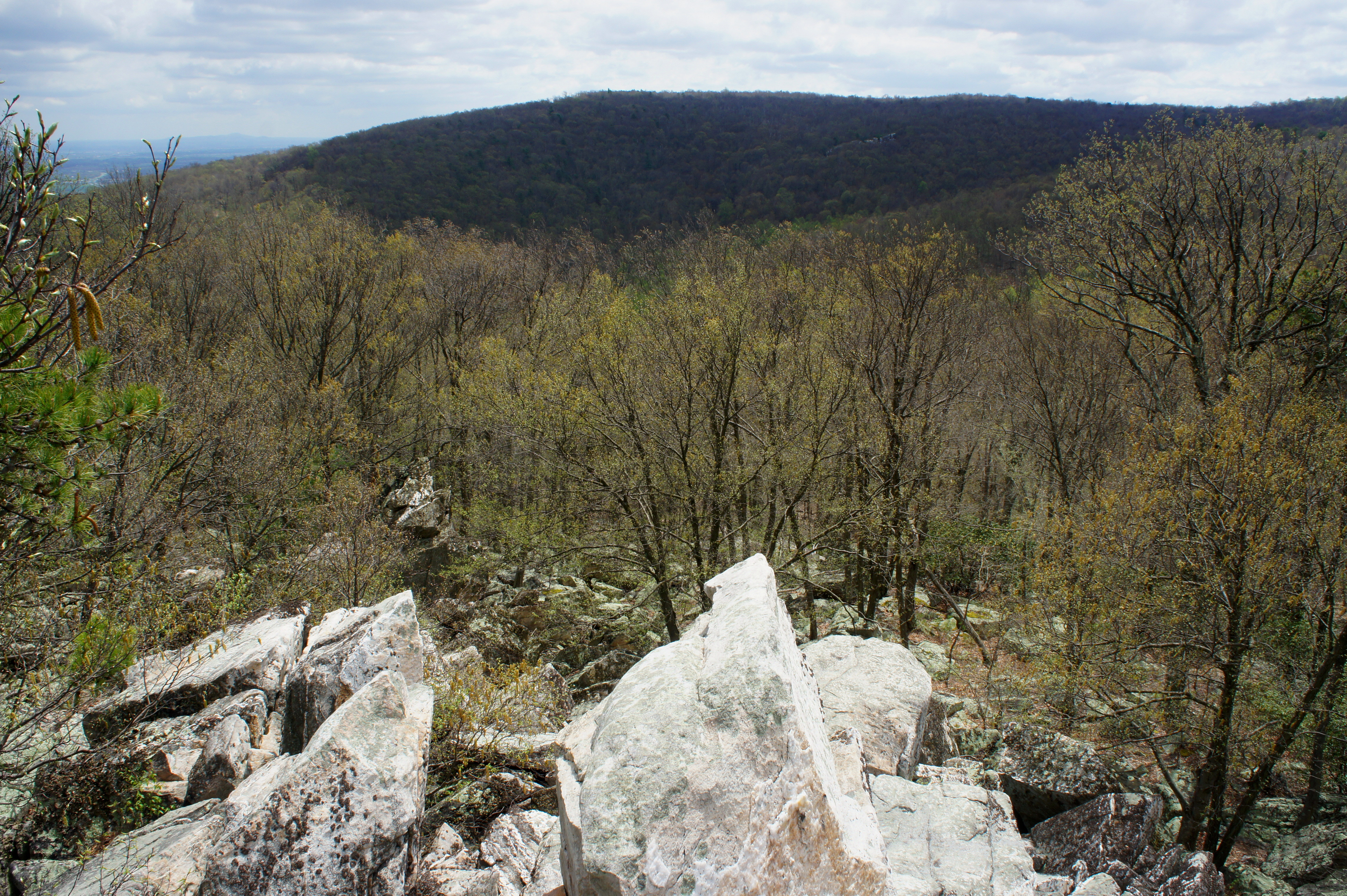
Nonetheless, remaining a couple levels down still provides panoramic views, most notably a relatively unobstructed look south and east toward Bob’s Hill and Frederick Valley. At a mere 1,562 feet, Cat Rock is not the highest summit in the area, but it provides a rare view above the trees. It’s also worth exploring the underbelly: hidden among the rocks are a series of narrow slots and minor chasms.


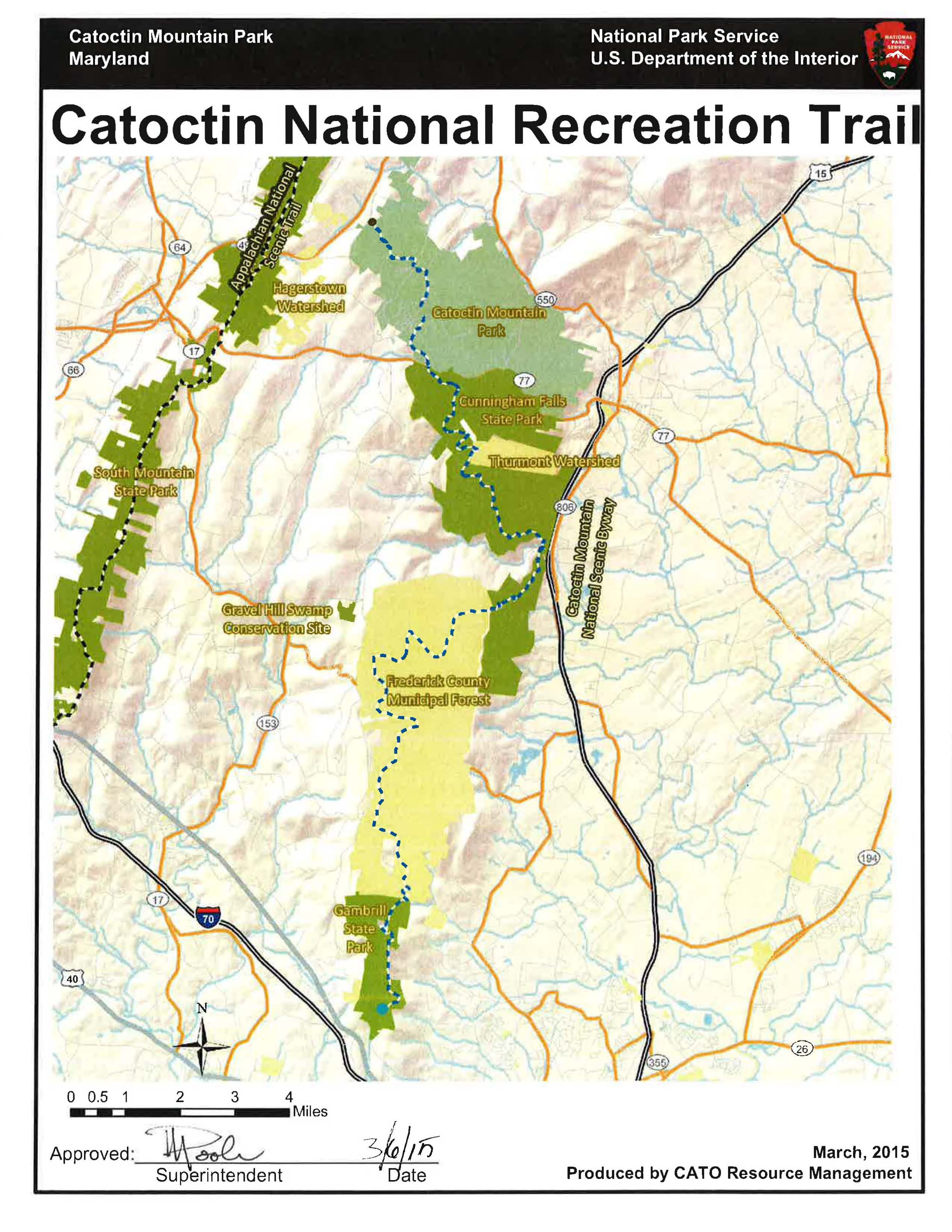
When ready, return via the spur to the main footpath and head left, bearing west on the Cat Rock Trail. The next couple miles are relatively uninteresting but mostly flat or gradually sloping. At times, it is possible to peek through the trees on the left for a view of Frederick Valley as the trail bears southwest toward Bob’s Hill. At 3.1 miles—1.6 miles from Cat Rock—hikers will reach a fork; take a right on the blue-blazed Catoctin Trail, a 27-mile hiker’s path that extends from Catoctin Mountain Park in the north to Gambrill State Park in the south.

Bizarrely, after gradually cresting the highest point on the hike (1,777’), the trail doubles back toward the northeast, effectively tracing the same terrain as the Cat Rock Trail (less than 100-200 yards away) en route to the junction. It’s not until 3.7 miles that the trail corrects course and heads west, gradually descending toward the Hunting Creek Valley below. At about 4.1 miles, the pace of descent quickens, dropping nearly 400 feet in less than a mile.
At 4.9 miles, bear right on Catoctin Hollow Road; unfortunately, at least a half mile or so of road-walking is necessary at this point; use caution, as the road can be busy, especially in summer. As you approach Hunting Creek Lake on the left, look for a faint fisherman’s trail that edges the southern bank. (Note: This area may be overtaken by undergrowth in the summer months, forcing hikers to keep to the road.) Follow the social trail for 6/10 mile back to the original parking area, passing the boat ramp and fishing dock along the way.

This completes the roughly six-mile loop. Due to the strenuous nature of the trail, allot at least three hours for the circuit.
