
Nestled in the unassuming woods northeast of Leland, Wisconsin, a sandstone bridge some 35 feet long and 25 feet high constitutes the largest natural arch in the state. Just below the aperture is the impressive Raddatz rock shelter, named for the family who once owned the land in the late 1800s and early 1900s but known for containing artifacts used by Native Americans more than 10,000 years ago, just as the glaciers that once blanketed much of the nearby area were receding. Together these two sites are the main attractions of Natural Bridge State Park, a very primitive preserve with limited facilities but decent woodland hiking. Combine a jaunt on the Indian Moccasin Trail with several short, unnamed routes to form a short, one-mile loop with a spur to a skippable “scenic view” that is often obscured by tree cover.
The hike
Natural Bridge State Park is a small day-use property straddling two modest uplands in south-central Wisconsin, less than an hour’s drive from Baraboo, Wisconsin Dells, and Madison. The sole parking area and trailhead, situated off county route C, is an overgrown blacktop with ample parking—somewhat crowded on weekends but often deserted on weekday mornings.
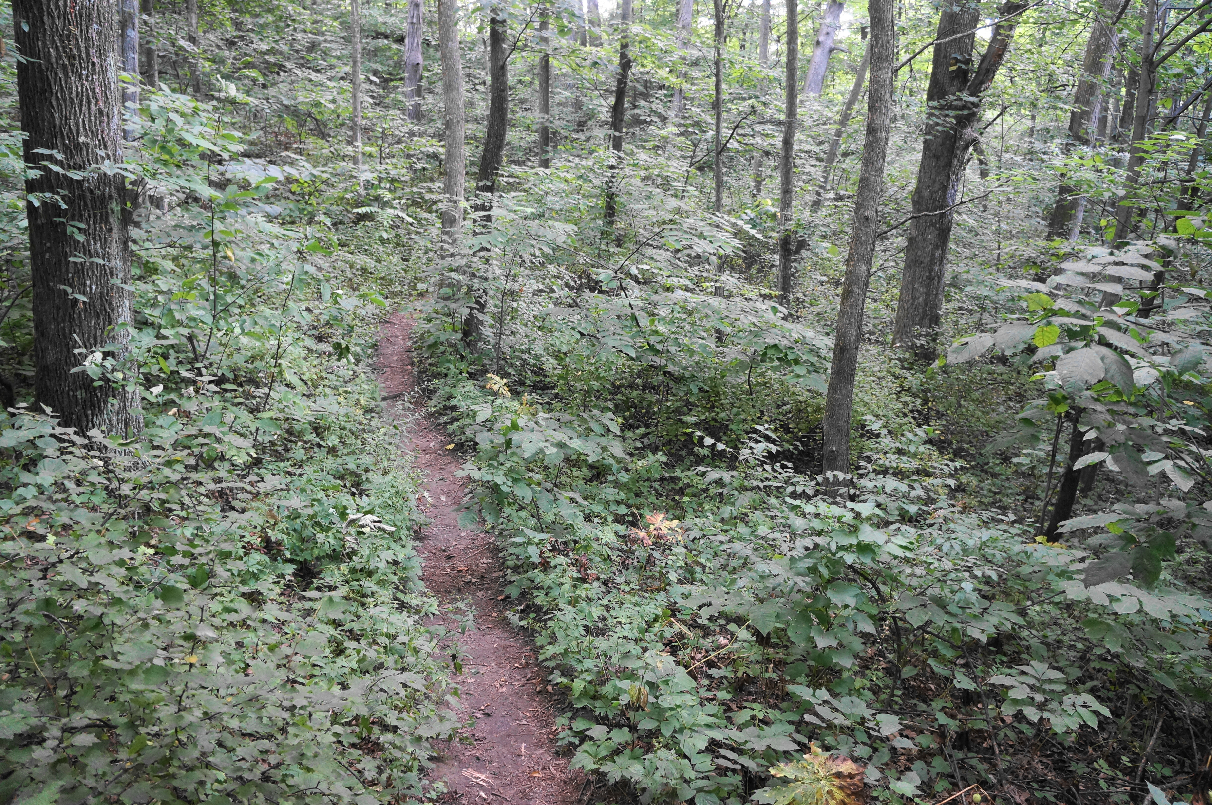
The route to the natural bridge extends north, following a clear-cut and keeping the trailhead restroom—the largest structure at the park—on the right. After a short walk, leave the patch of open turf behind and enter a lush, woody glen, taking a hard left-hand turn before climbing a modest uphill. Rise to a junction and open patch at 2/10 mile, then bear right, taking the well-trodden trail heading north. As the first sandstone bluffs come into view, the trail climbs a short staircase and rises to a gap in the sandstone outcrops.


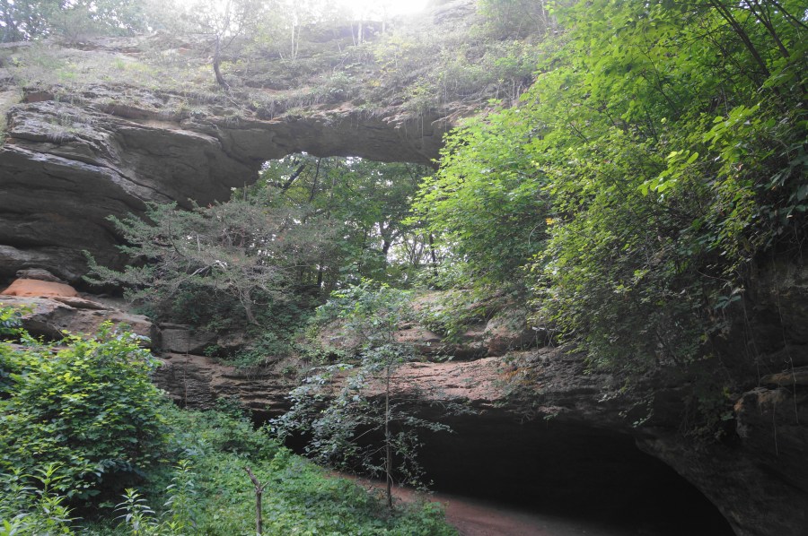
Climb up to the notch, where hikers are rewarded with views of the two main attractions of the hike—the natural bridge and Raddatz rock shelter—situated one right on top of the other. Duck your head briefly into the rock shelter, imagining the Paleo-Indians who lived here more than 10,000 years ago, using the alcove as a shelter from the wind and cold of the area. Admire the natural archway—carved by the dissolution of mineral deposits—from afar, but do not attempt to climb it, an admonition backed by a big red warning sign here.


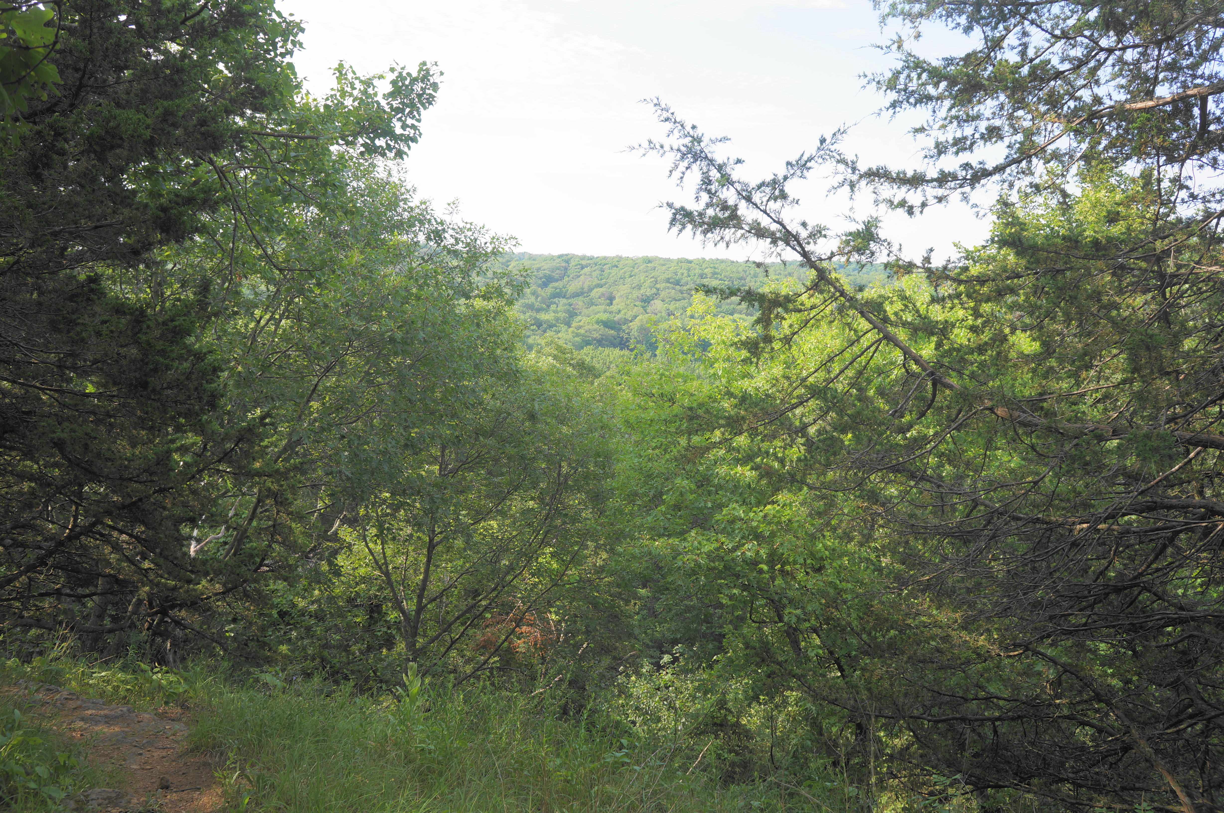
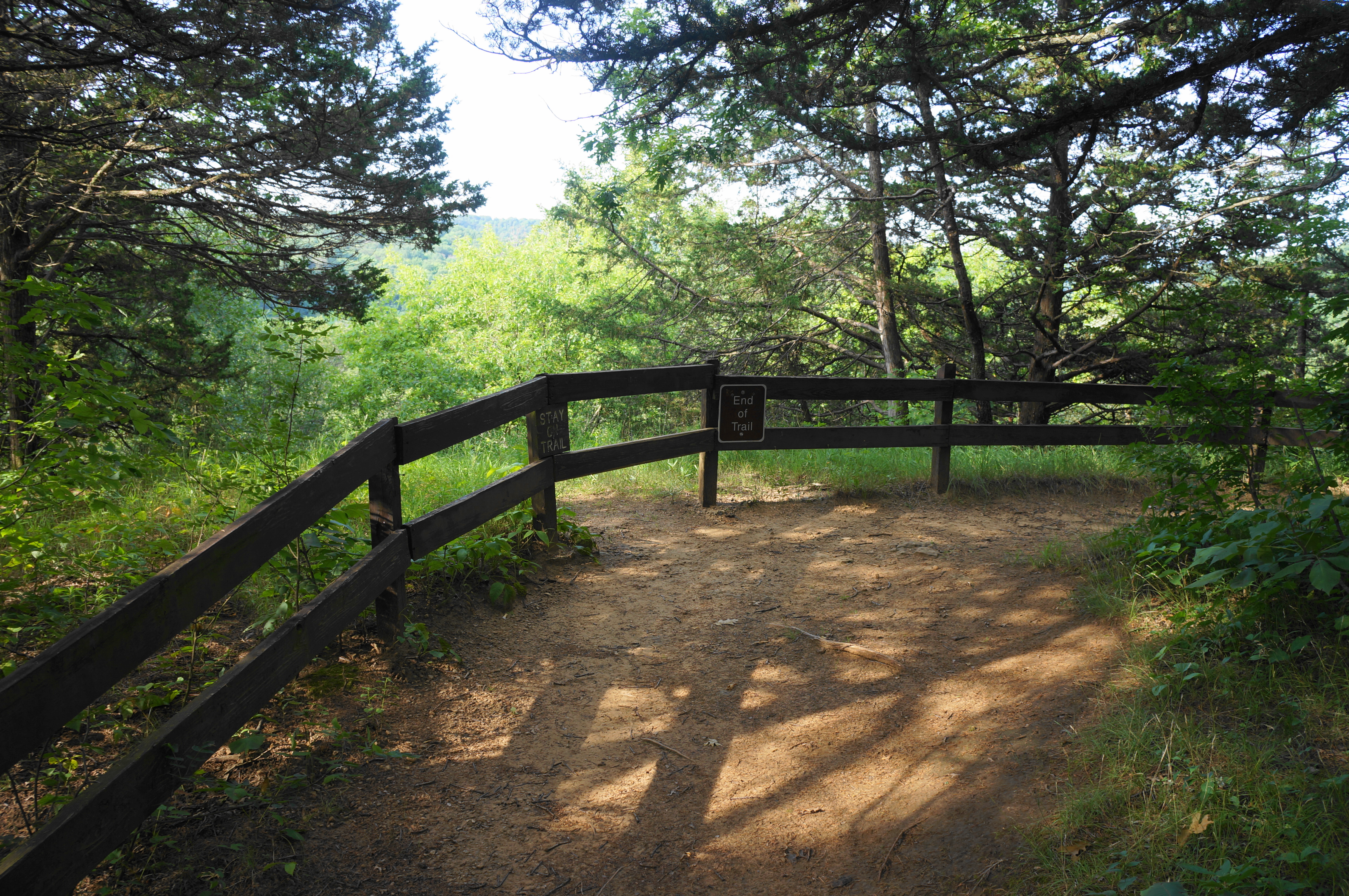
After the bridge, a slender trail continues north and east, keeping the bridge to the right before it eventually fades out of view. Come to another trail junction at 3/10 mile, where hikers can choose to bear left on a short spur leading to a mediocre vista point marked on the state park trail map. The spur path ascends in fits and starts, climbing to a ridge with several small trail markers highlighting native trees in the area (quaking aspen, gooseberry, juniper, basswood, and black cherry). After ascending some final steps, the trail culminates at a high viewpoint that has some very limited vistas (though better in winter when the leaves have fallen) down to the nearby valley.
Return the way you came until reaching the main trail again, where hikers should bear left to continue the loop back to the parking area. The narrow route descends steadily, coming to another junction at 8/10 mile, here hikers should take a final right. From here it is a short walk through the thick deciduous forest to the open grass patch and trailhead, emerging from the woods to the left of the bathroom. This marks the end of the one-mile jaunt.
