Perched on the bluffs high above the Mississippi River Valley in northeast Iowa lies a hidden treasure of burial mounds, estimated to have been created by American Indians between 850 and 1,400 years ago. And these are no usual resting places: best viewed from the air, the mounds at Effigy Mounds National Monument were constructed to take on wild shapes, such as birds, lizards, and bears. Many lie in neatly-arranged groups, resembling a flight of swallows or sleuth of bears, and are situated within striking distance of terrific bluffs overlooking the confluence of the Yellow and Mississippi Rivers. While the surprisingly extensive trail network at Effigy Mounds connects the rest of the mound groups, a short, 1.7-mile jaunt on the Fire Point Loop captures the basic flavor of the place: sacred mounds, dense woodlands, high bluffs, and wondrous vistas—certainly a surprise in a state not known for varied and interesting scenery.
The hike
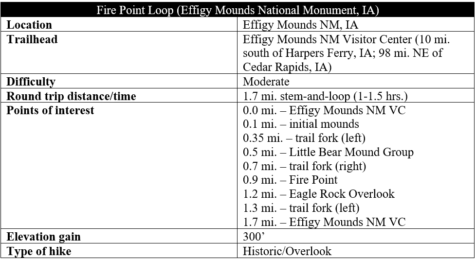
Iowa’s Effigy Mounds National Monument, established in 1949, is one of just two National Park Service units in the state and is situated between the splendid hills of northeast Iowa and the grand Mississippi River. Split into three districts—North, South, and Sny Magill—the Effigy Mounds Visitor Center is the starting place for most visits and contains information on the history, natural scenery, and hiking trails of the park. The Visitor Center also serves as the starting point for the Fire Point Loop, a moderately-difficult jaunt covering 1.7 miles and 300 feet in elevation gain.
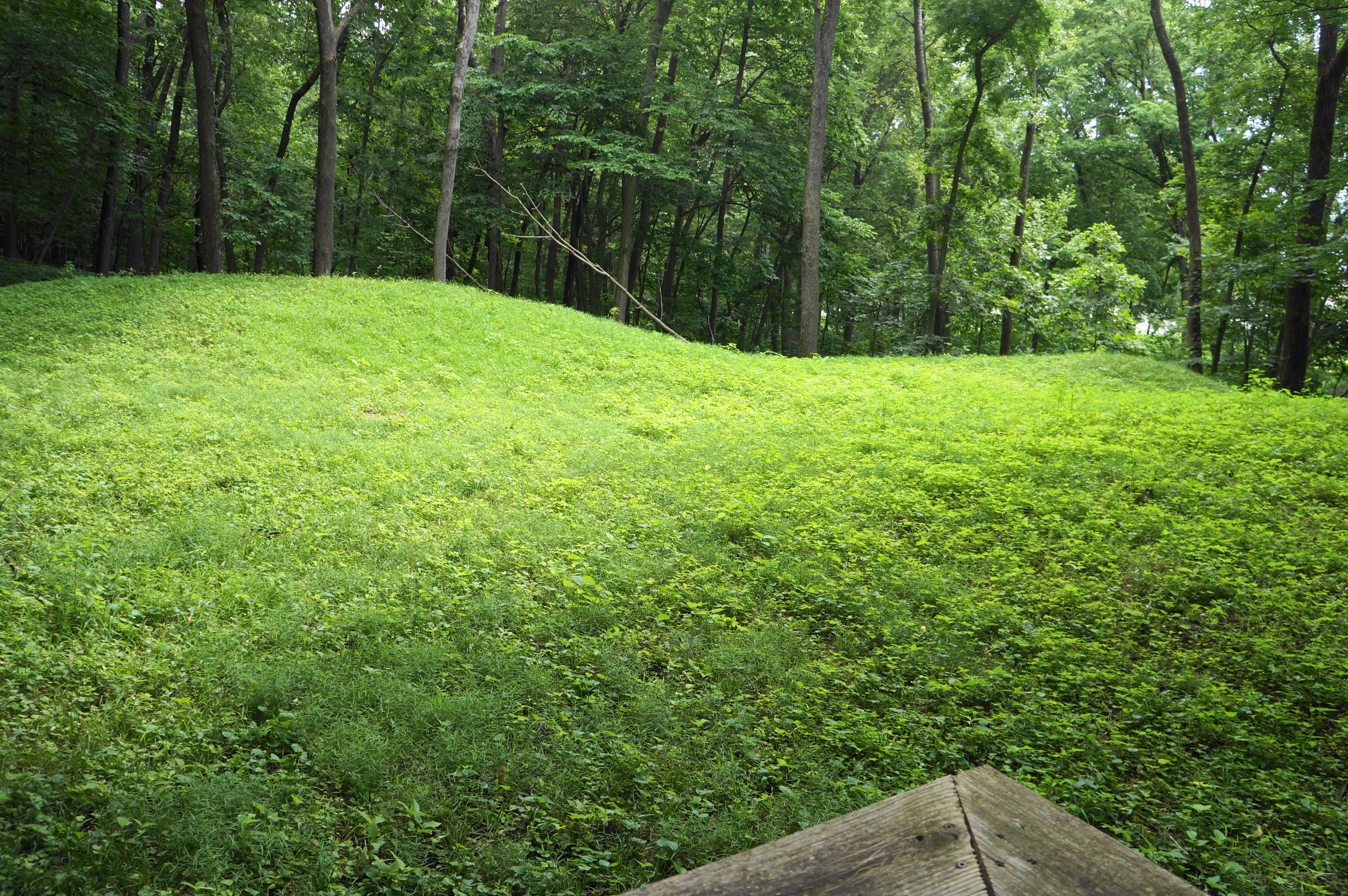
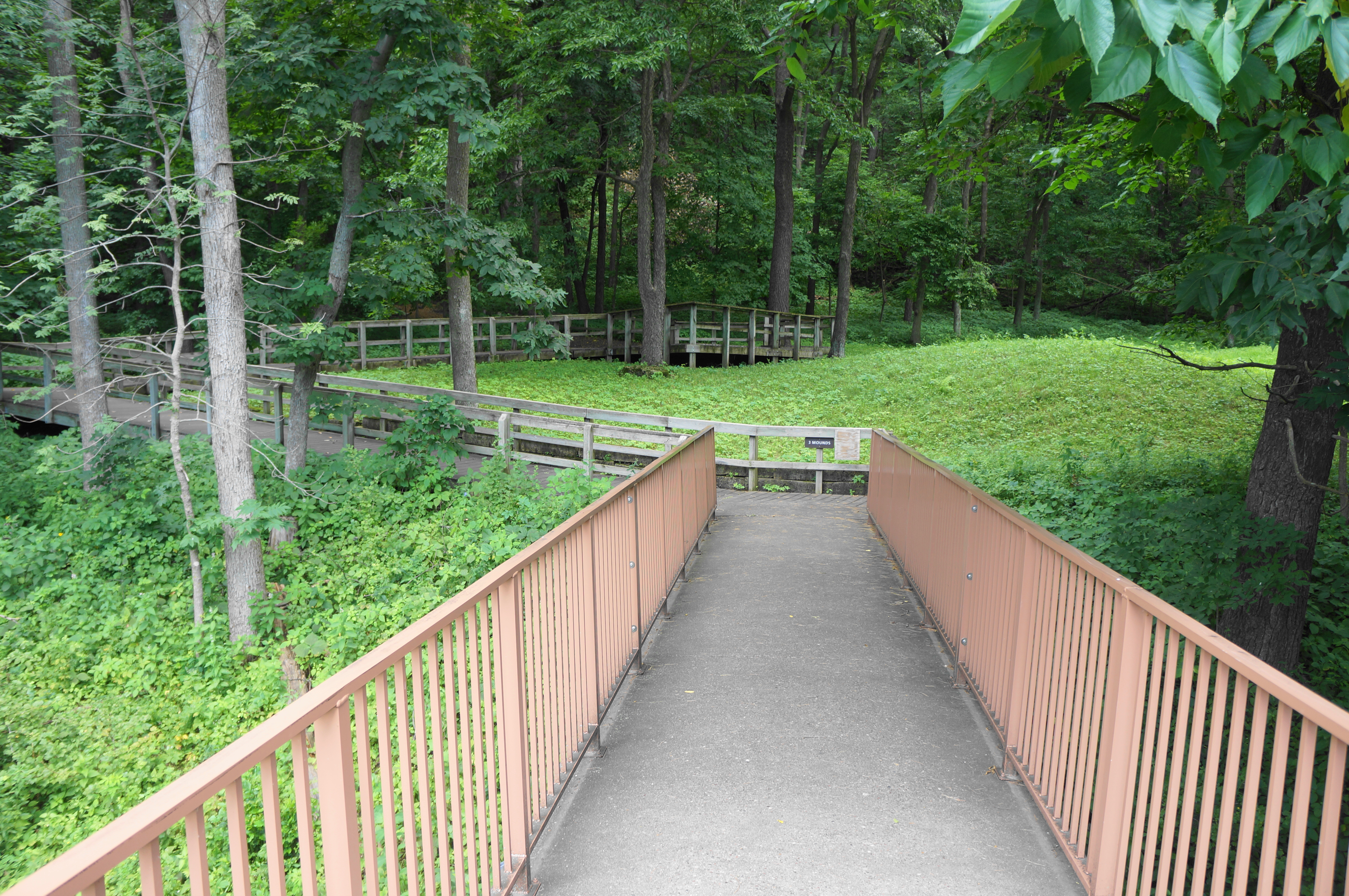
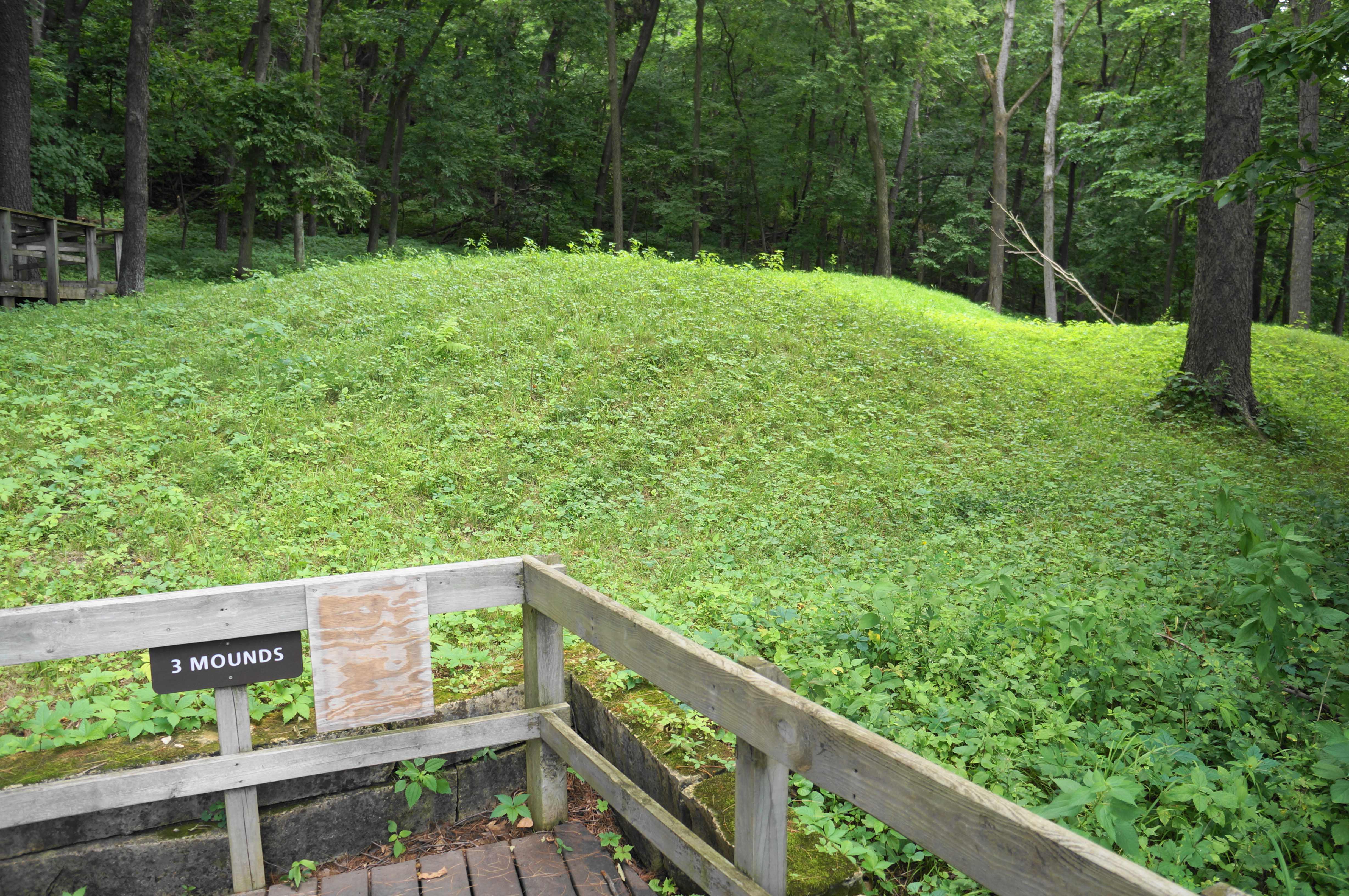
The hike begins right away with a bang, traversing a short bridge and then a boardwalk section with view of an initial set of mounds—these ones are not animal-shaped, but they rise considerably from the basin, clear signs of human construction. These are examples of simple conical mounds, a template on which the mound-builders would expand.
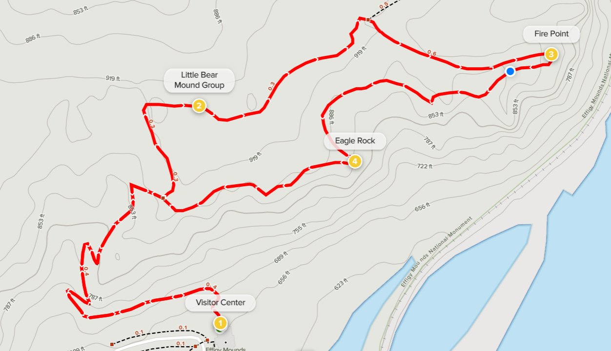
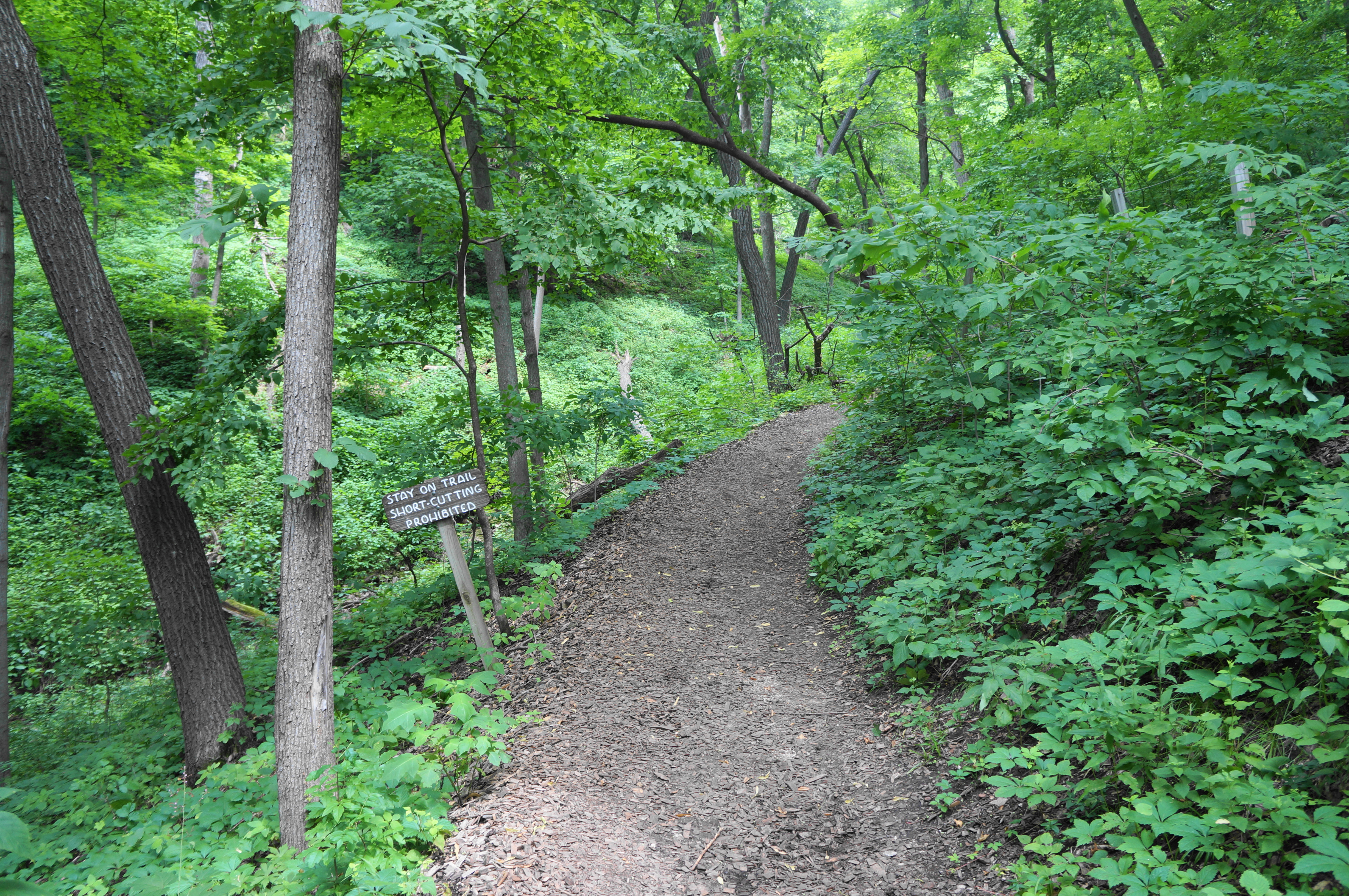
After this initial look, the trail bends westward and begins a steady ascent, hugging a south-facing hillside flush with vegetation and a high canopy of trees. The mulched path rises to a right-hand bend at about 2/10 mile, coming to—but not crossing—a modest ravine. From here the Fire Point Trail mounts four switchbacks, culminating with a bench that offers a place to sit and catch your breath momentarily. The onward path continues north, meanders around a right-hand bend, and comes to an intersection, about 1/3 mile from the start.

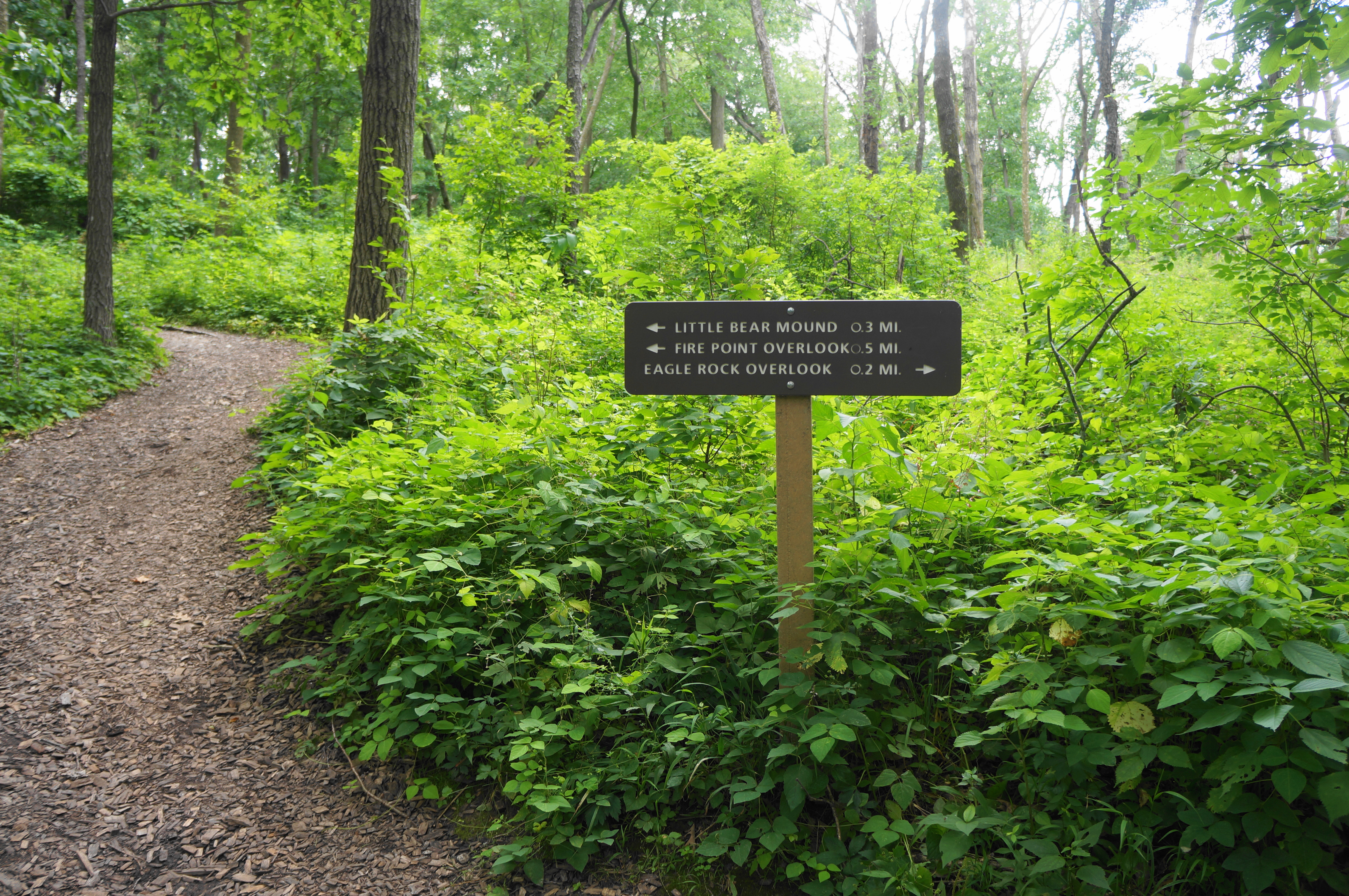
This is the start of the loop portion: most will do the circuit clockwise, beginning with the mounds while leaving the overlooks for the second half. Bearing left at the junction, the trail follows dense tree canopy as its edges north-northwest. At 0.45 miles, the path rounds a right-angle bend. Look to the right for the start of the Little Bear Mound Group. The outlines of the mounds can be hard to see—and impossible if snow-covered—but the disturbed earth is evident: here Native Americans living in the area constructed a series of connected compound mounds, free of trees and thus visible in full from above.

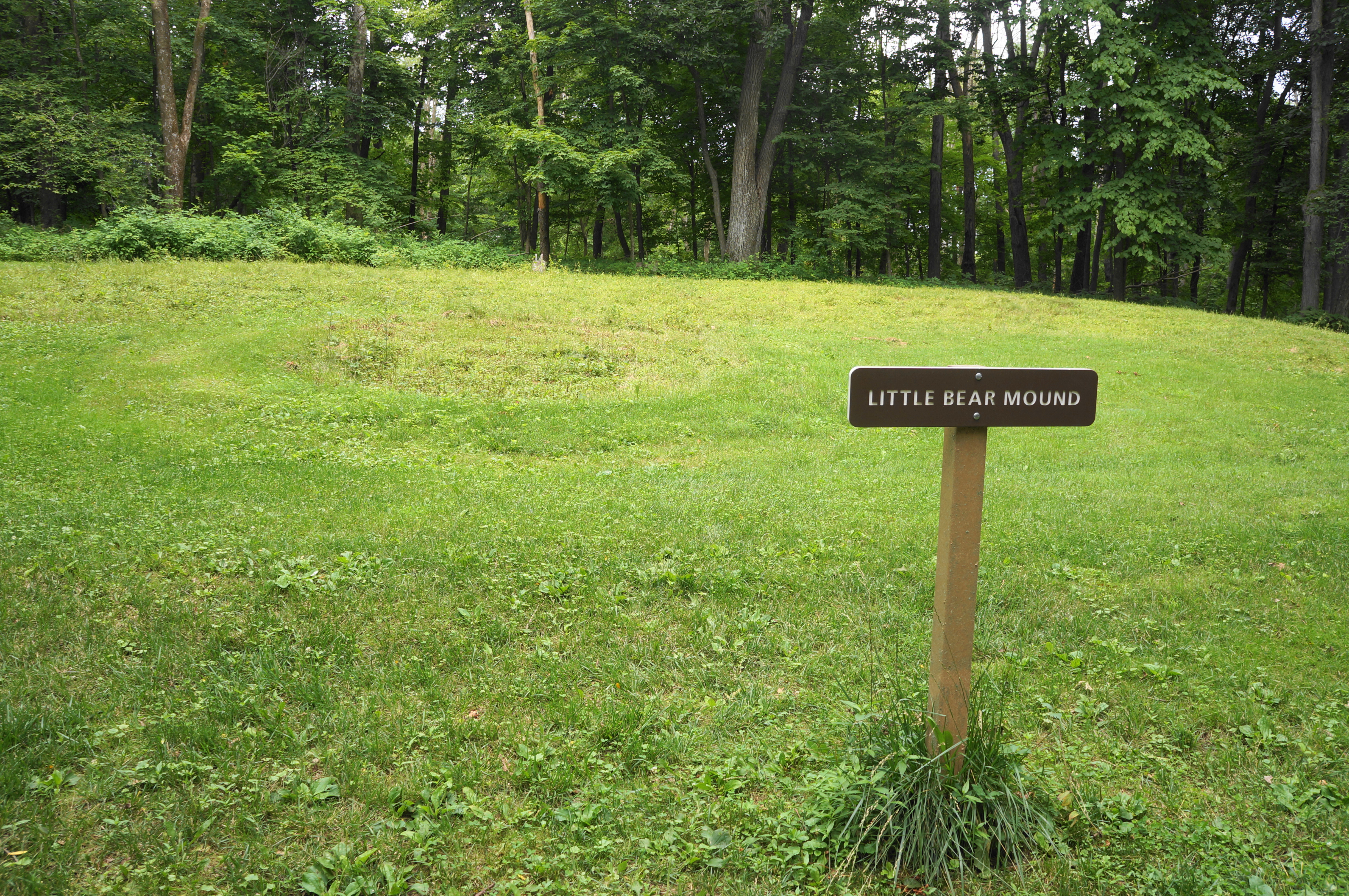
Pass the initial mounds of this group on the right—and a bench on the left—then make your way north and east on a mild trail to the highlight of the Little Bear Mound Group: a bear-shaped effigy mound, which one can make out based on the contours of the grass-cutting. Little is known about why precisely these mounds were constructed as such, except that they likely were in part ceremonial, with large animal-shaped mounds perhaps bearing prominent families.
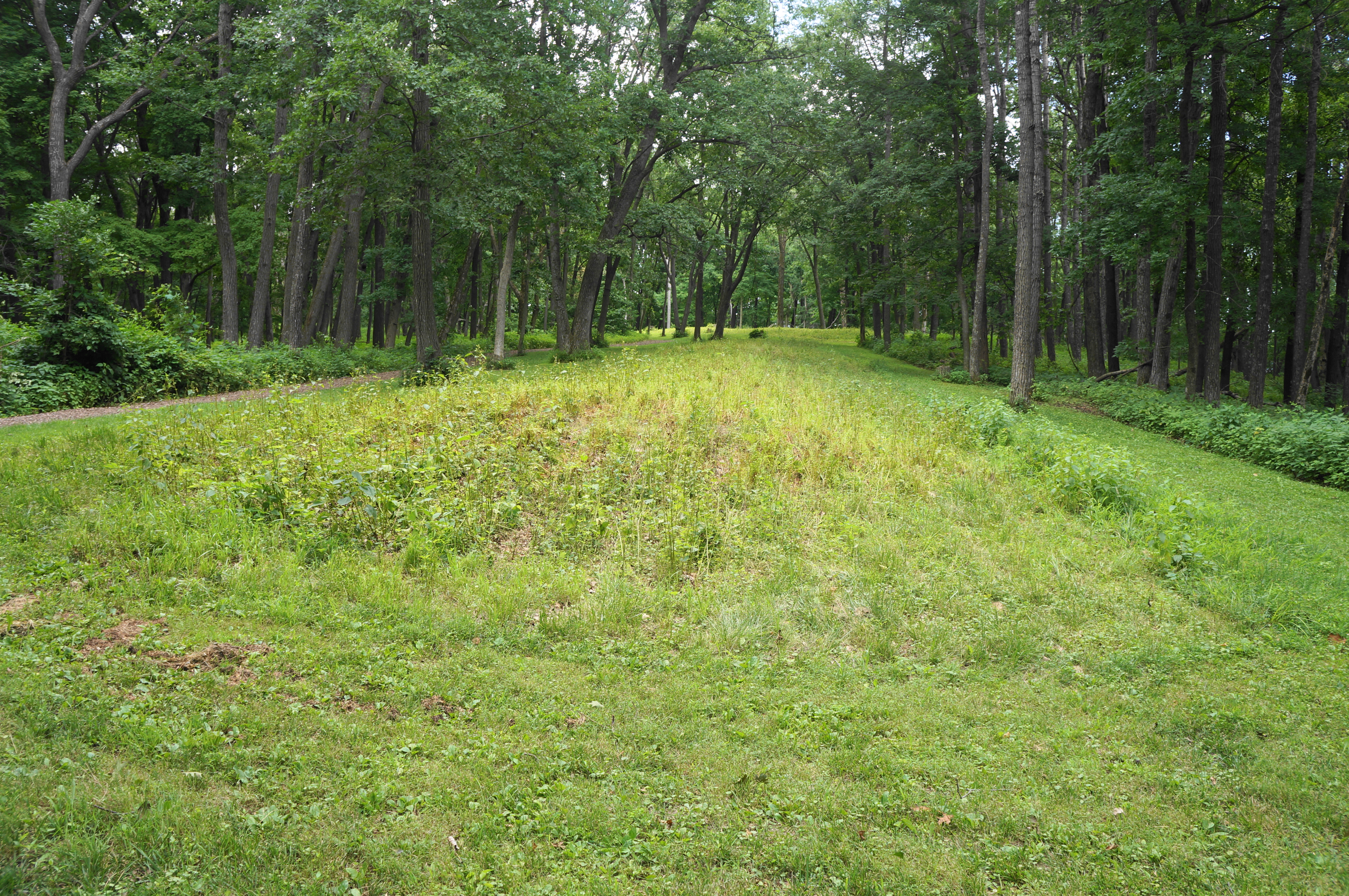
Continuing straight, the Fire Point Loop approaches a string of small mounds, as well as another junction. Bear right at the fork (the left route heads north to Great Bear Mound Group, Twin Views, Third Scenic View, and Hanging Rock). The east-bearing path follows a long line of conical mounds—forming a greenway that extends for nearly ¼ mile and runs out to the bluffs above the Mississippi.

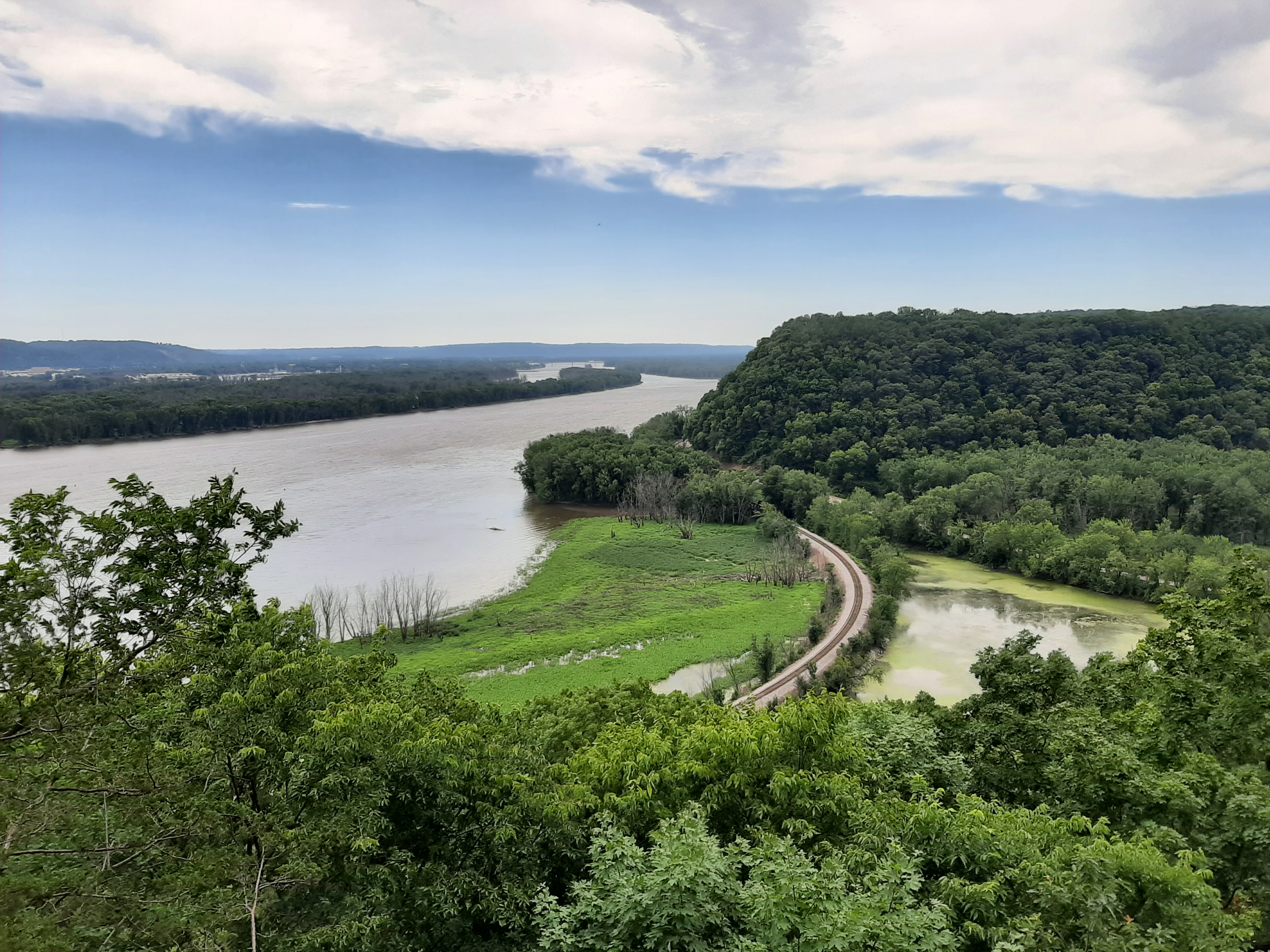
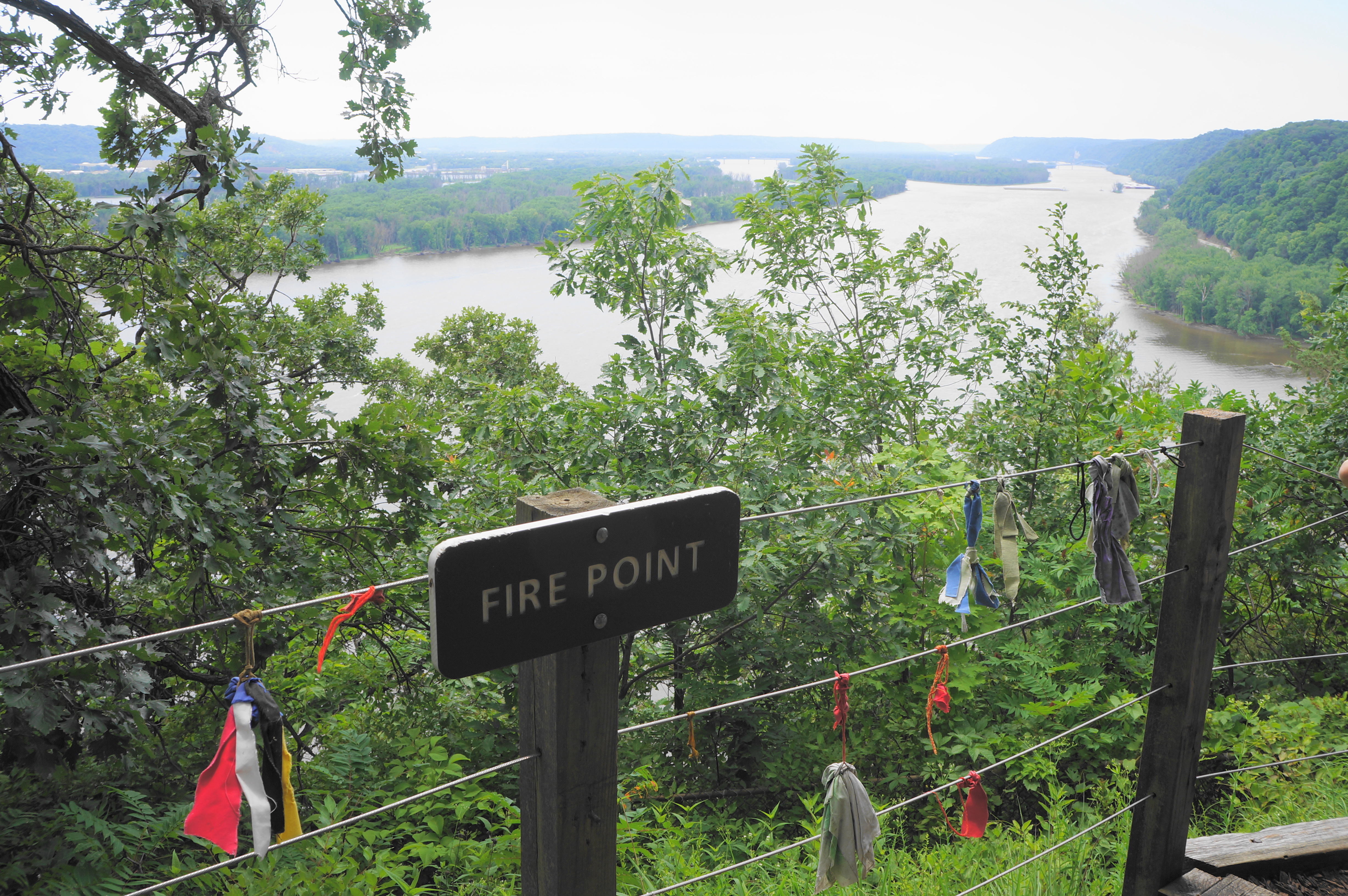
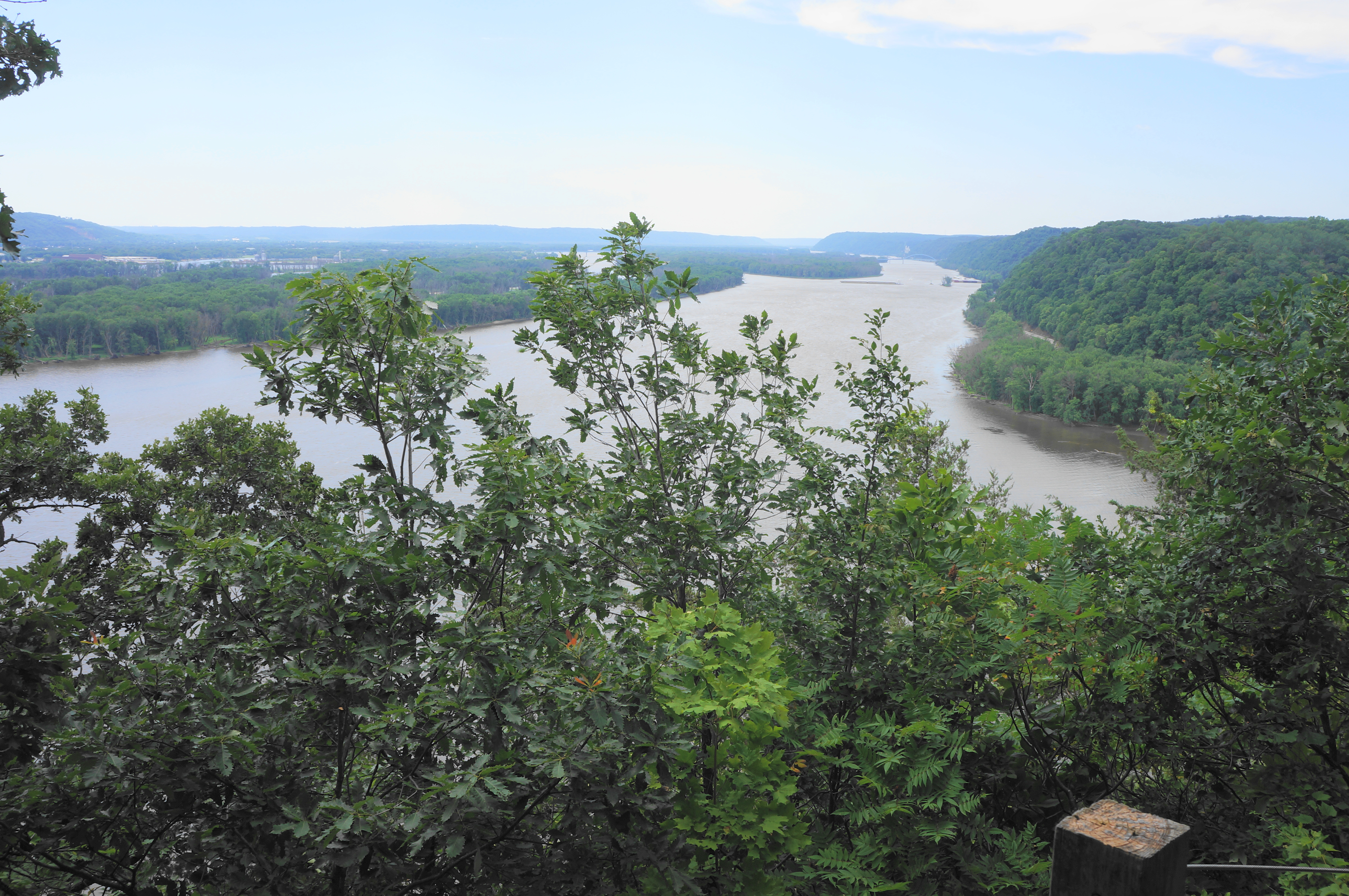
After dipping briefly, the trail rises again as it approaches Fire Point, a modest but beautiful viewpoint offering southward and eastward views across the Mississippi River to Wisconsin. The high point on the west side of the river is nearby Pike’s Peak. One can also spot the Saint Feriole Island Bridge downstream, as well as the distant bluffs of Wyalusing State Park on the Wisconsin side.
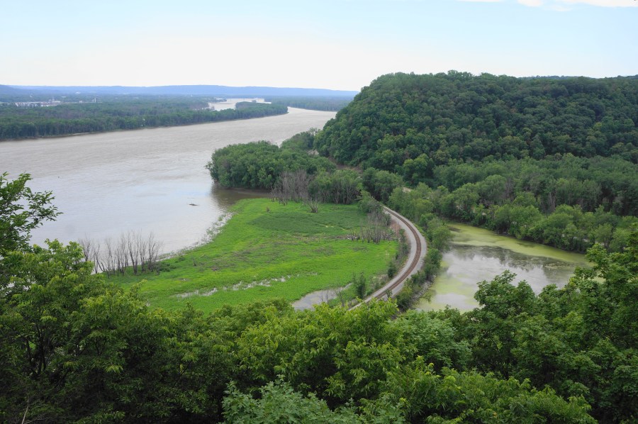
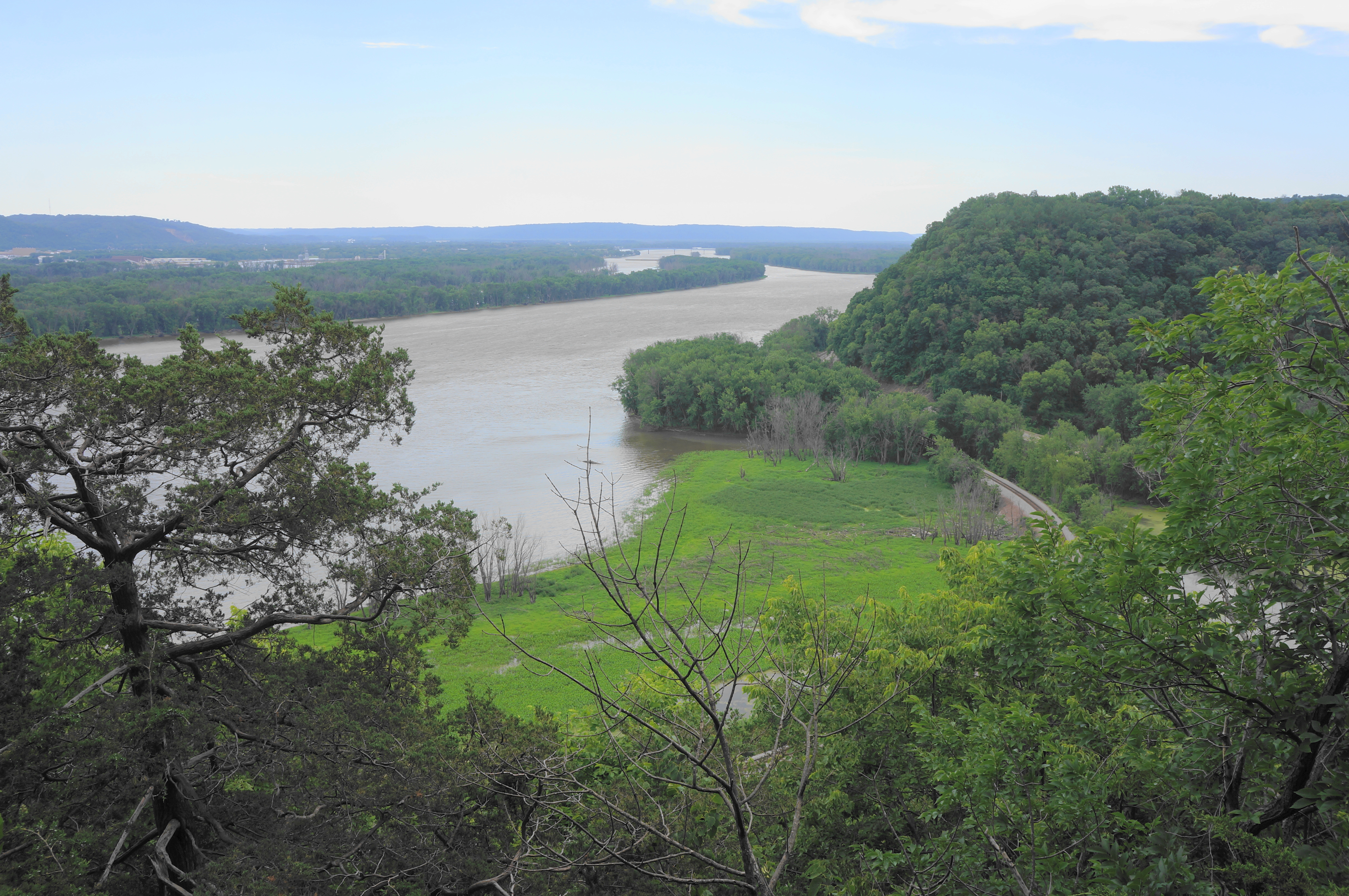
Fire Point is one of the most interesting and accessible viewpoints in northeast Iowa, but the views on this hike are not yet over. Follow the onward path as it cuts back westward, hugging the shaded bluffs, with sporadic views down to the railroad and river below. Pass one overgrown overlook with limited vistas at about the one-mile mark, then continue as the trail skirts several small ravines. Soon, just as hikers begin to worry that perhaps the views are done, the Fire Point Loop returns to the cliff’s edge at Eagle Rock, an arguably even better overlook high above the marshlands formed by the Yellow River as it empties into the mighty Mississippi. The railroad running alongside the river adds to the charm, while the muddy river continues to lap up against the shoreline.

From Eagle Rock, the Fire Point Loop continues its eastward journey, soon returning to the junction and end of the circuit portion. Turn left, retrace the initial section—now a pleasant downhill—through the lush forest. Drop down the switchbacks and return to the initial set of three conical mounds, finishing with the boardwalk that leads back to the Visitor Center and parking lot. All told, this moderately-difficult but family-friendly hike clocks in at a modest 1.7 miles and is a must-do at Effigy Mounds National Monument.

Pingback: Top 10 Hikes in 2022 | Live and Let Hike
Pingback: Road Tripping with the Tabb Brothers | Picking Up The Tabb
Pingback: 12 Incredible Iowa Hikes to Match Every Month of the Year