
Note: This is part of a multi-post series chronicling the many possible day hikes in the East Bay’s Briones Regional Park, a 1,600-acre tract nestled east of the Berkeley Hills, west of Mount Diablo, and south of Martinez and Carquinez Strait. I tackled these hikes over the course of several years living in the area between 2019 and 2024. For others in this series, see here.
Covering 1,600 acres of former ranching territory in northern Contra Costa County, Briones Regional Park offers some of the most extensive hiking of all the many parks in the East Bay. Here a network of mostly fire roads weave in and out of woody valleys, climb to panoramic peaks, and offer ridgetop views of the Berkeley Hills, Carquinez Strait, Mount Diablo, and Ygnacio Valley. Access points are plentiful, including the Alhambra Creek (map), Bear Creek (map), Briones Road (map), Lafayette Ridge (map), Springhill Road (map), and Reliez Valley (map) Staging Areas. Each of these spots offers an entrée into the scintillating hills, which tend to be more pleasant during the winter and spring, when rains leave the hills lush with verdant green hues and wildflowers (and cool temperatures scare away the rattlesnakes!).
Lafayette Ridge Staging Area & Vicinity
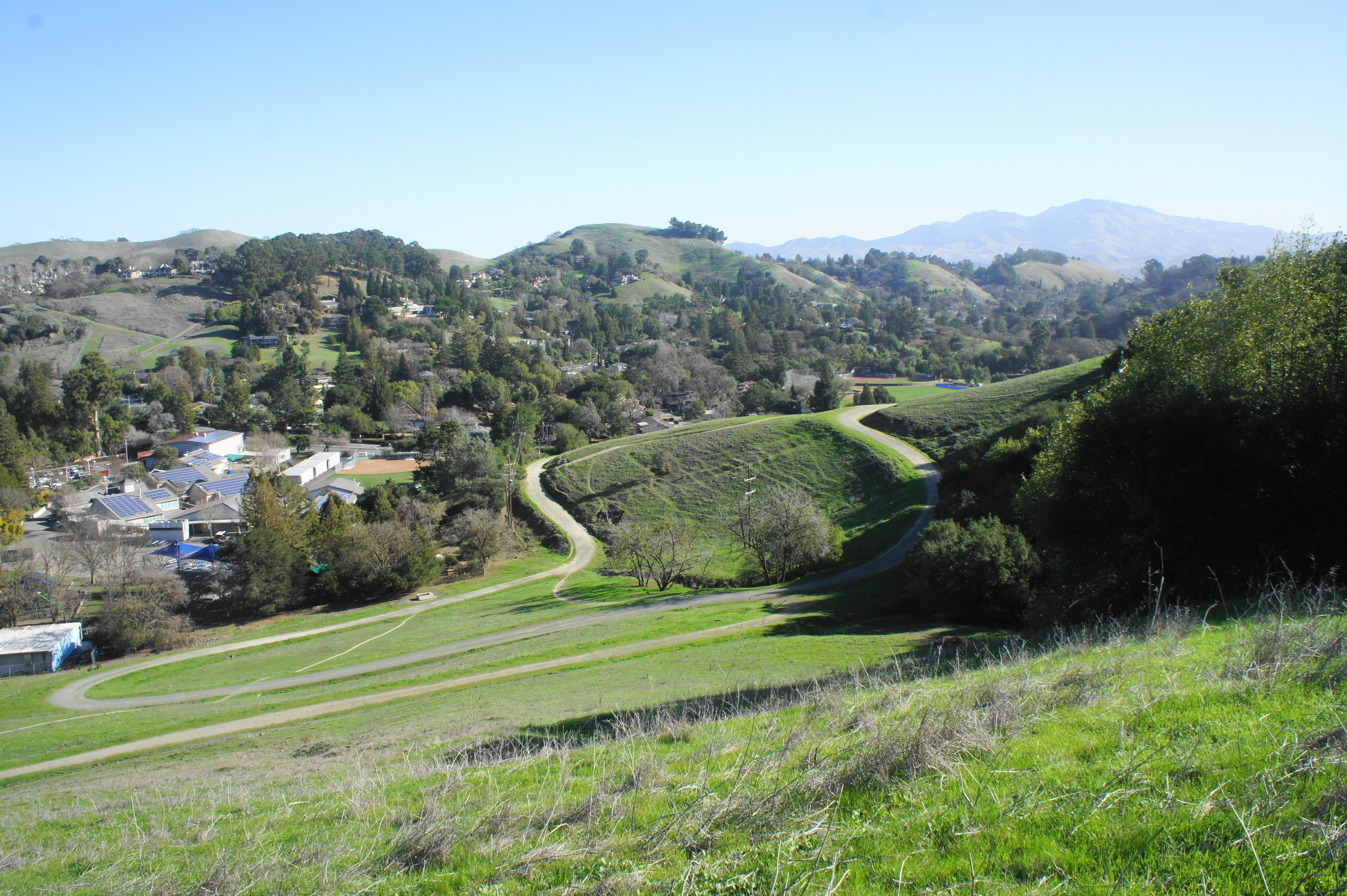
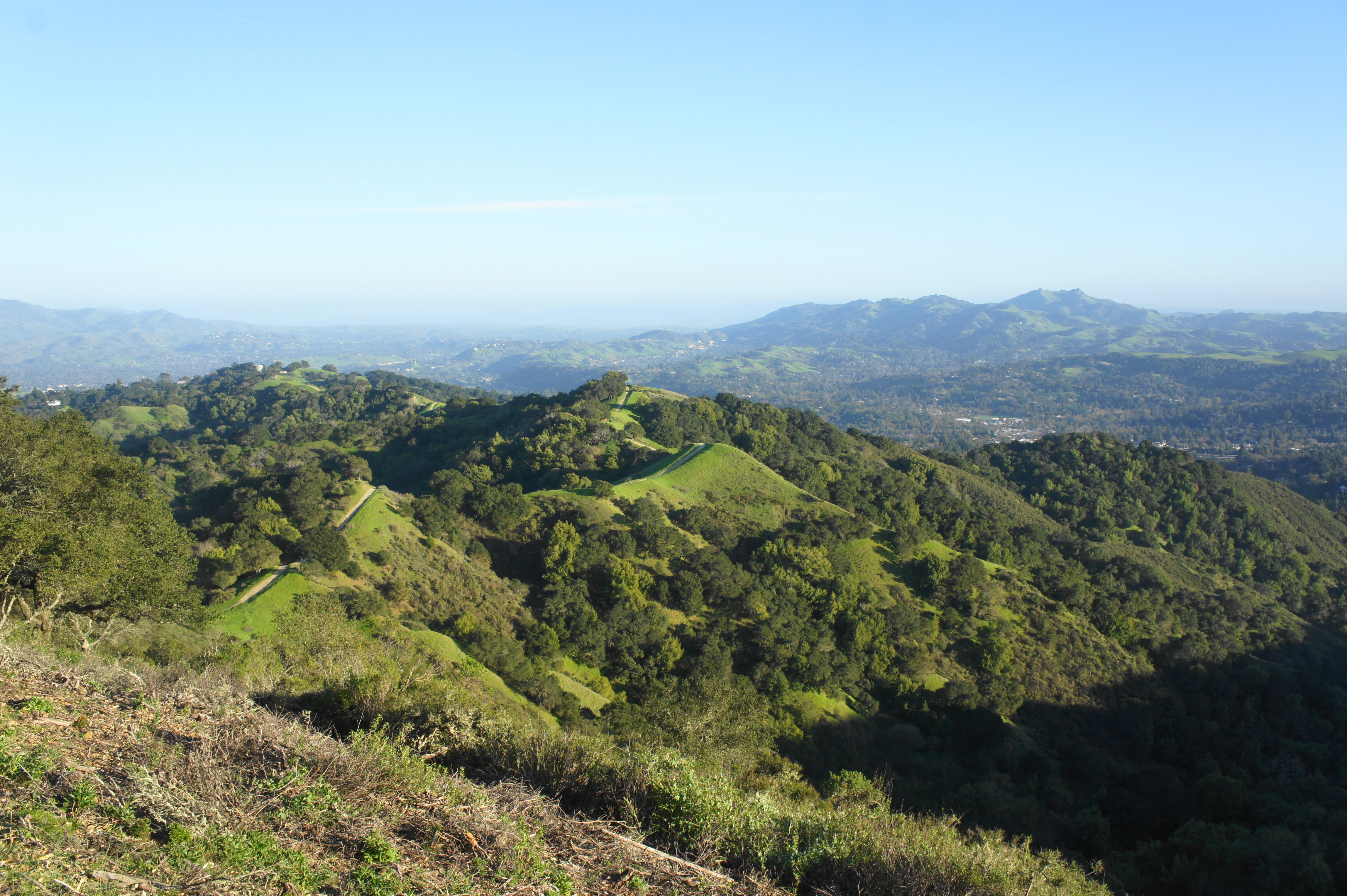
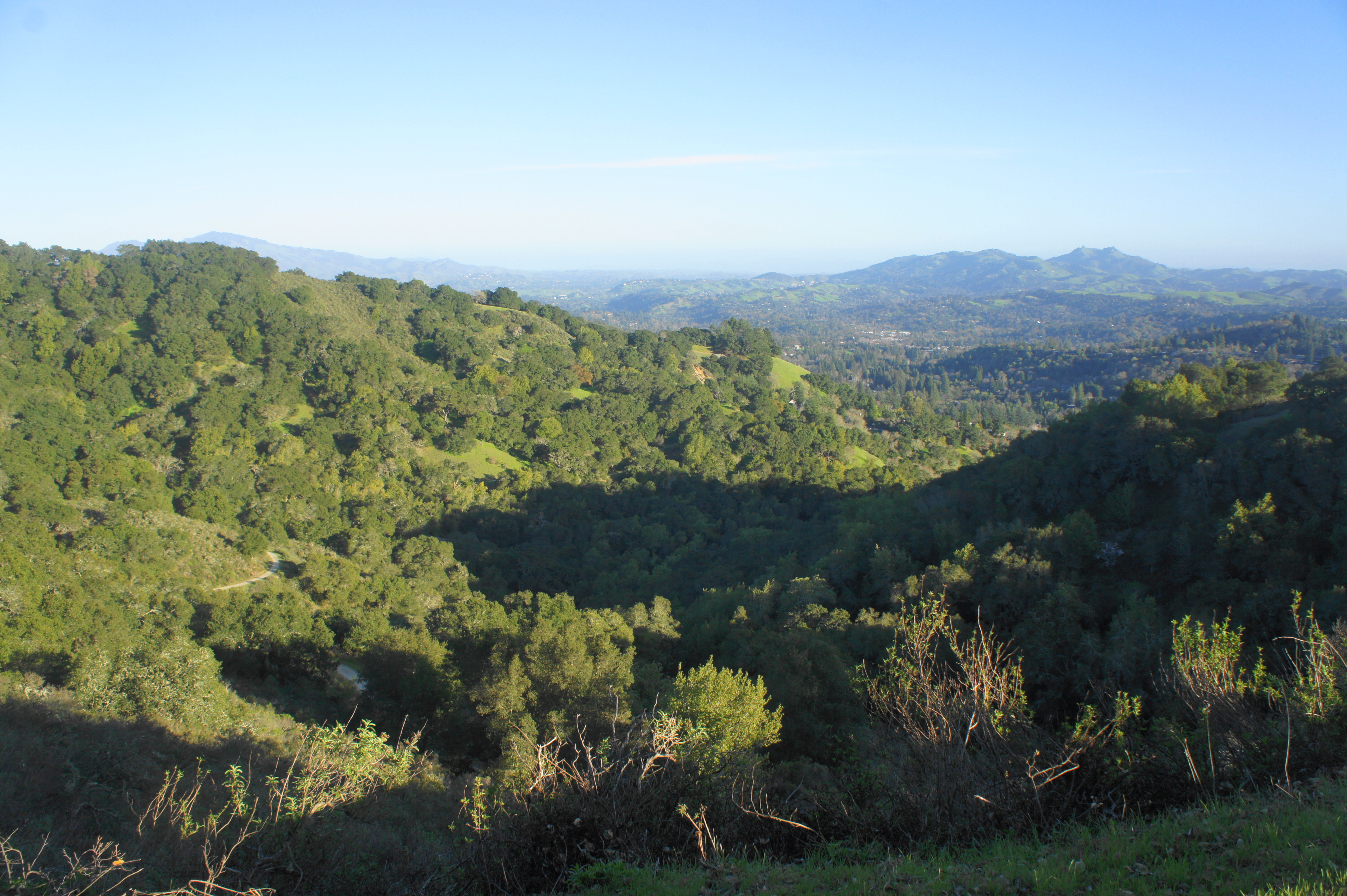
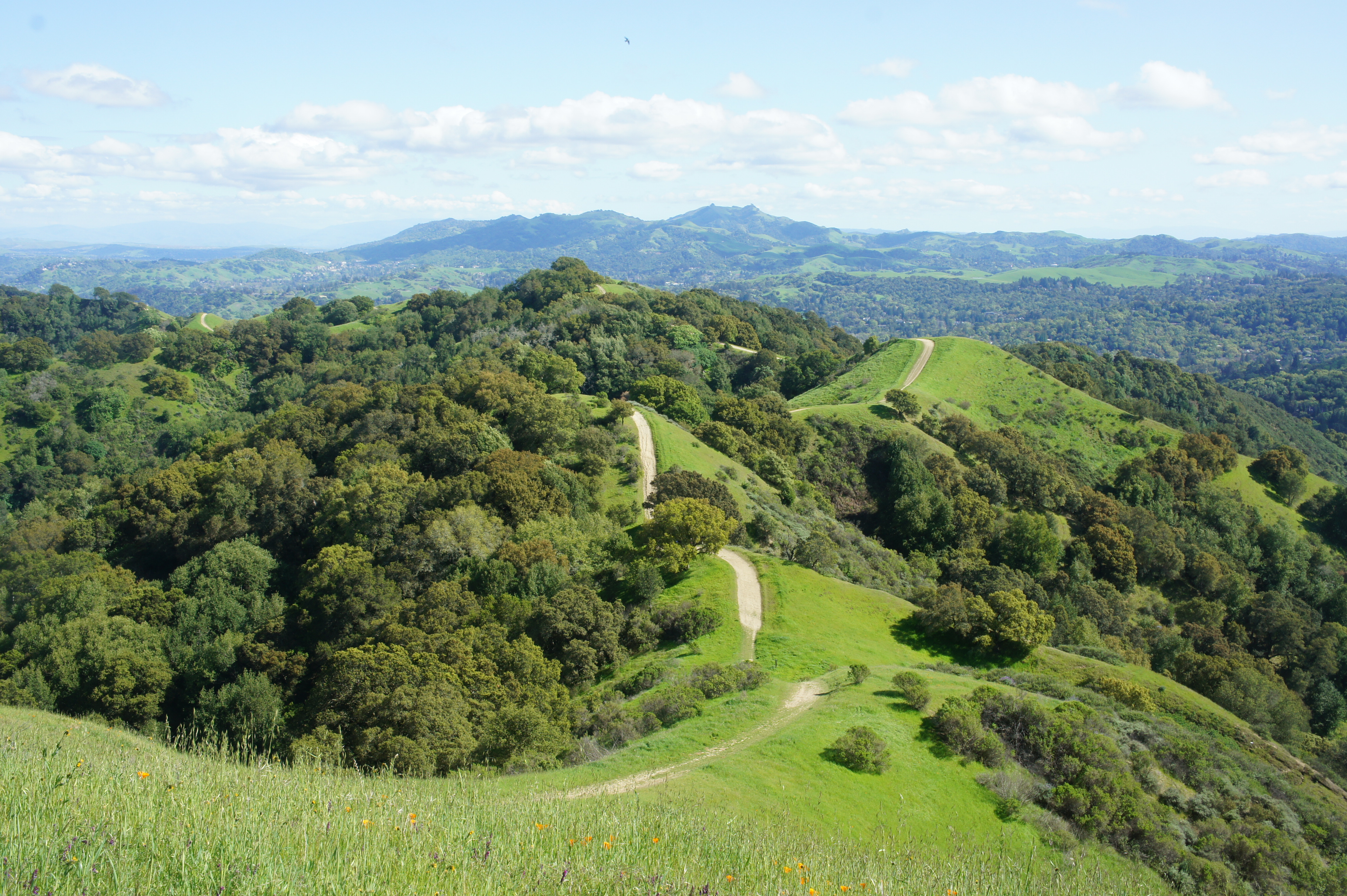
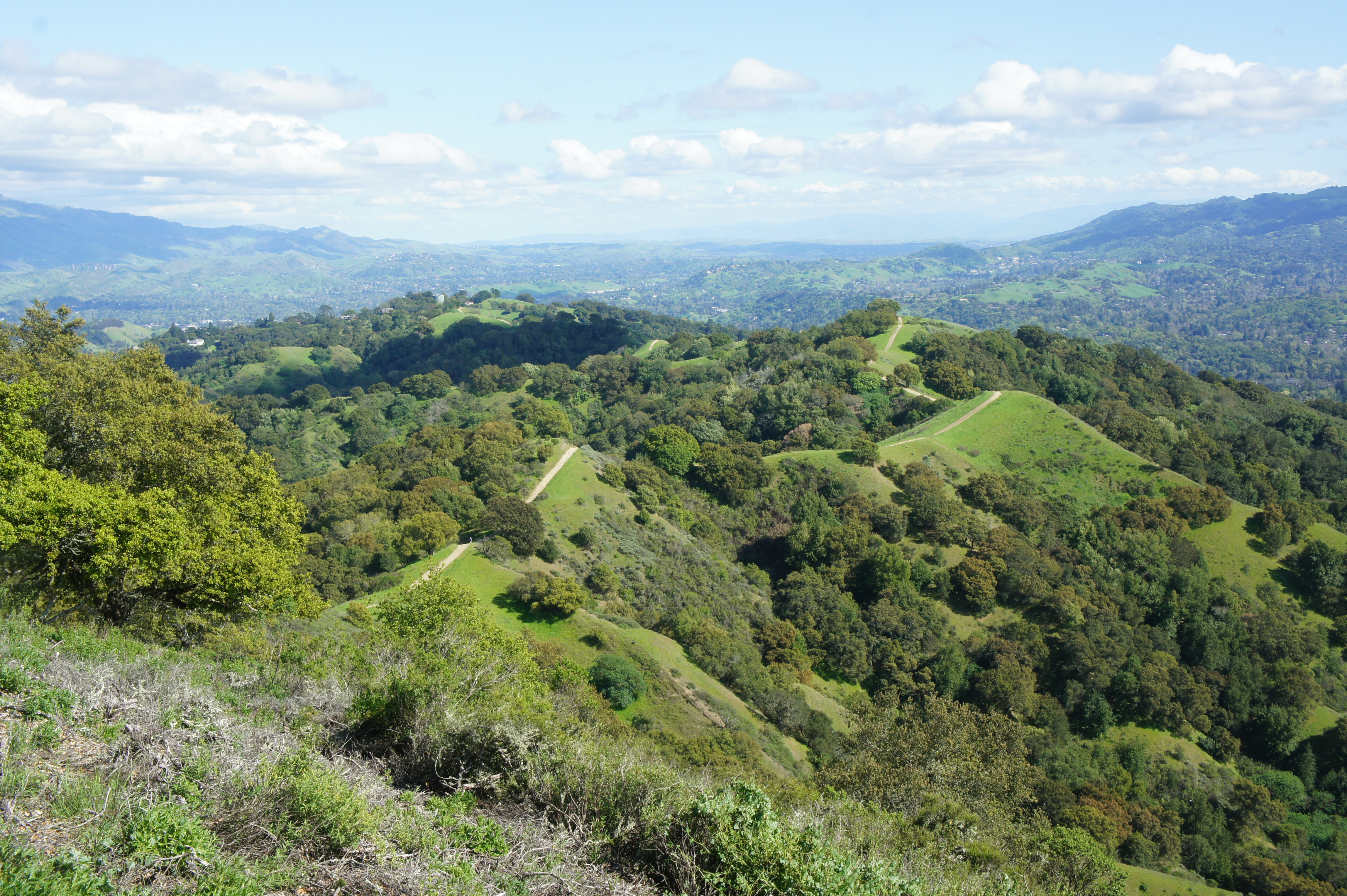
This final post covers hikes from the Lafayette Ridge Staging Area (map), set at the base of its namesake, which forms a long arm extending southeast from the Briones Hills. There is also one hike—Russell Peak via Mariposa and Russell Peak Trails—that takes off from Panorama Drive, a ritzy suburban road that heads partway up the ridge. The main artery in the area is the Lafayette Ridge Trail, a terrific fire road that bobs up and down like a stegosaurus’ back, with expansive views across Ygnacio Valley to Mount Diablo, Las Trampas, and beyond.
I describe three potential hikes—two relatively short and one much longer—below.
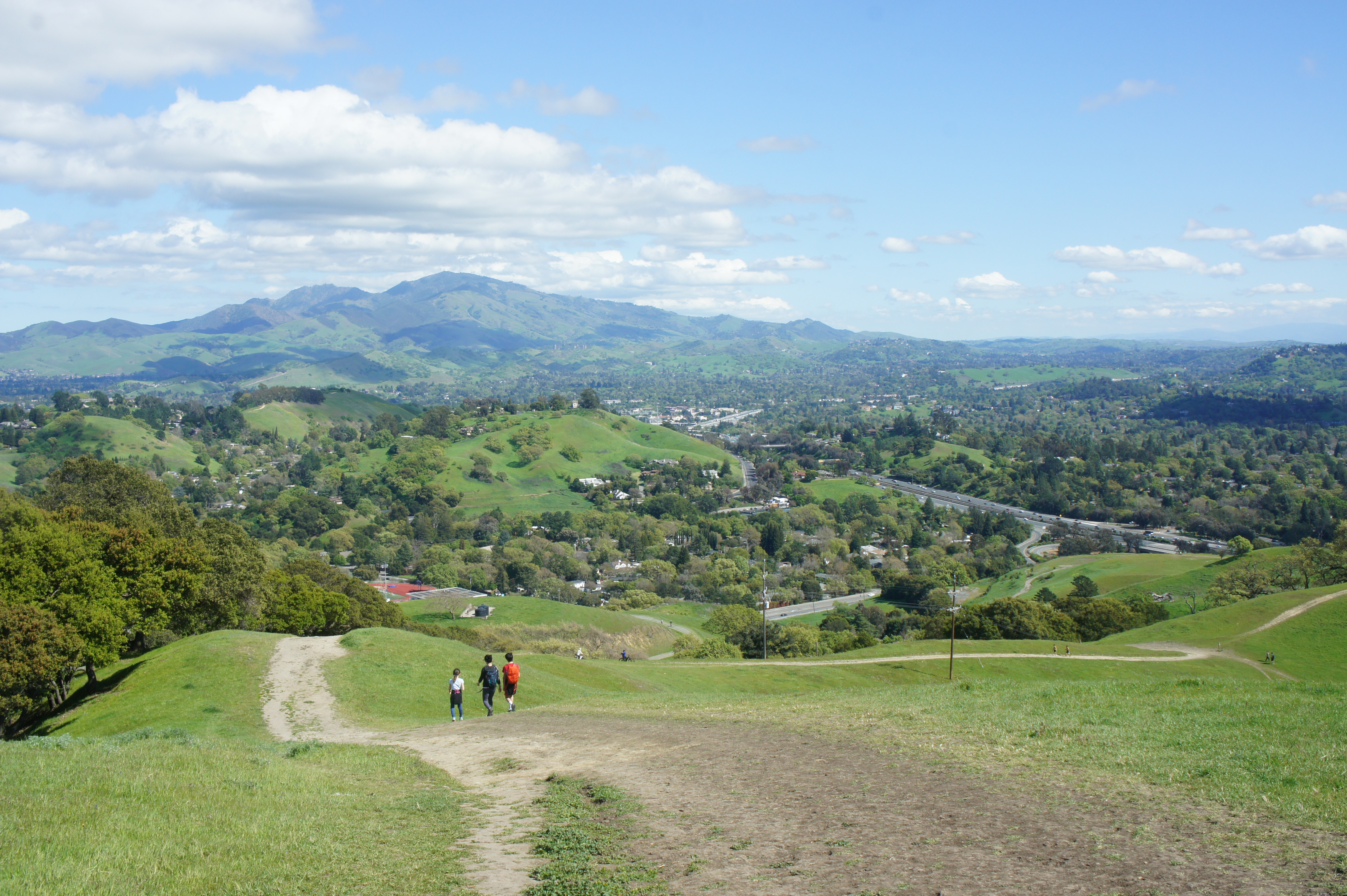
Lafayette Ridge Trail – Service Road Loop (1.7 mi. stem-and-loop)
Difficulty: Moderate
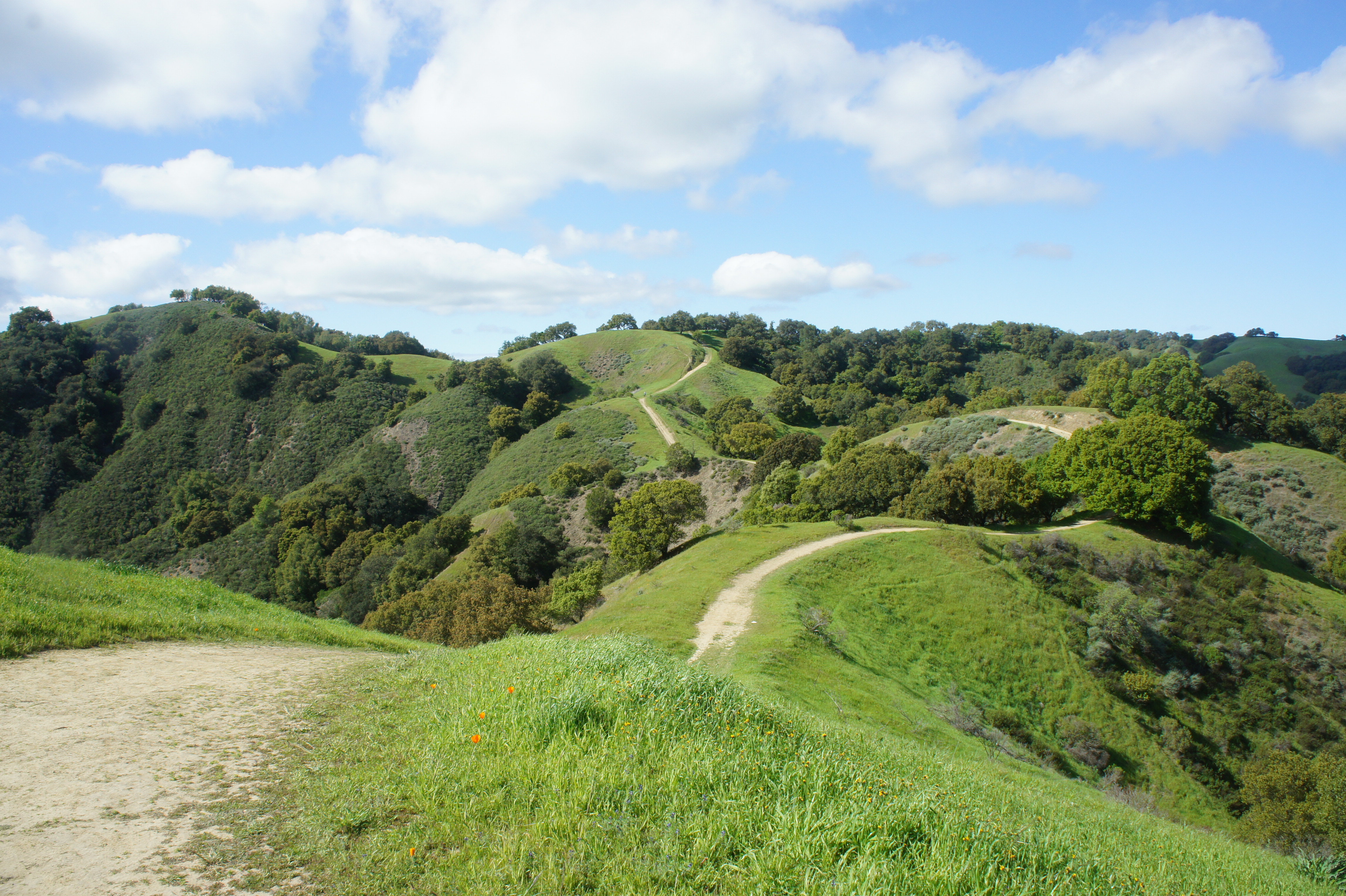
For those not up for the more arduous hike to Russell Peak, the patchwork of trails at the eastern fringes of Lafayette Ridge offers some pleasant—though crowded—loop options. For an hour-long leg-stretcher, climb the wide track from Lafayette Ridge Staging Area, bending right and then left, and stay on the Lafayette Ridge Trail as it steadily ascends south-facing hills to the old ranch structure at 8/10 mile. From here, instead of continuing on the onward trail, bear right and descend the Service Road, which drops and then edges northward around a long bend; turn left at 1.4 miles, returning to the initial junction and the trailhead.
Russell Peak via Mariposa and Russell Peak Trails (2.7 mi. stem-and-loop)
Difficulty: Moderate
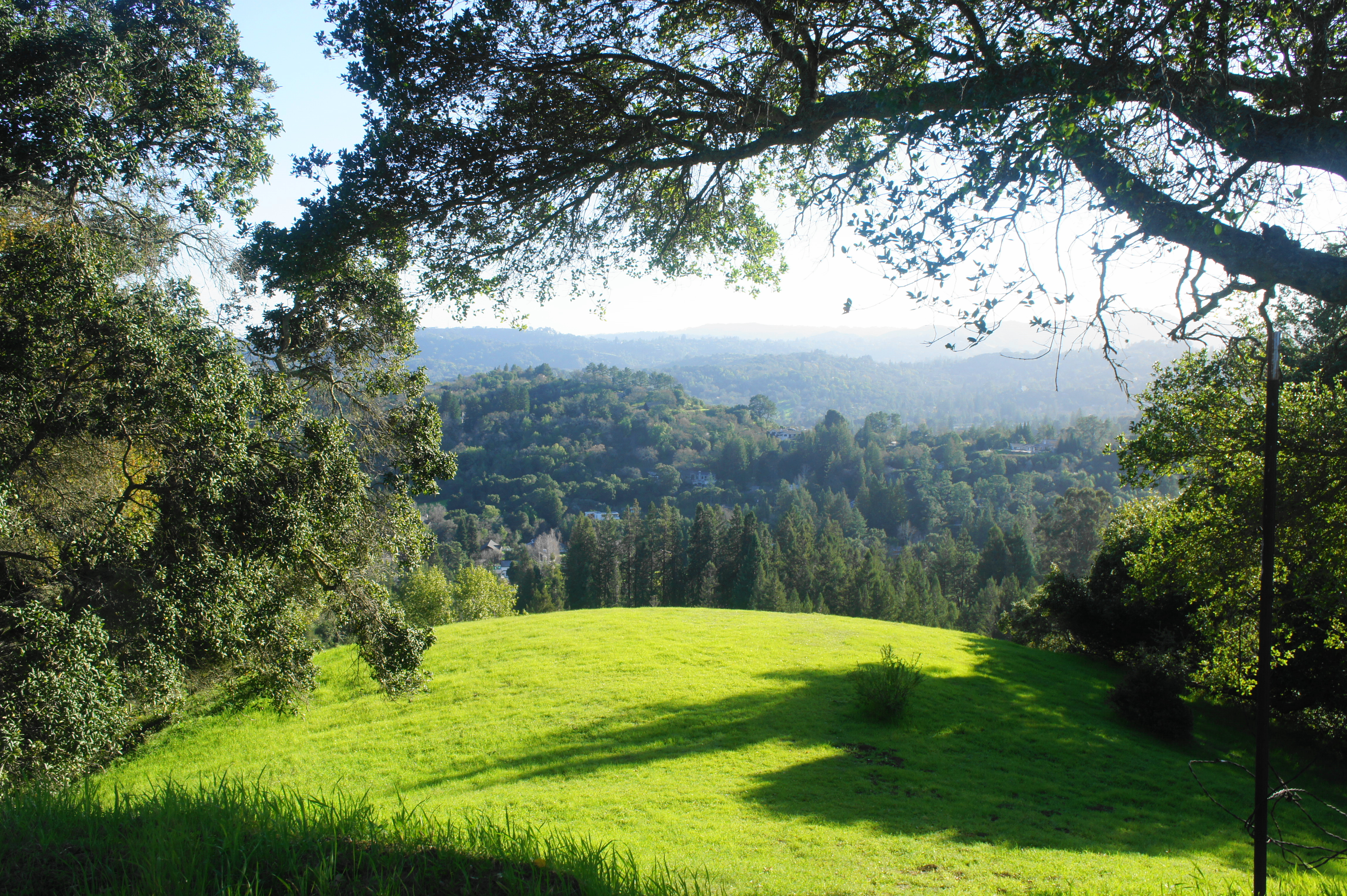
This short but scenic circuit hike climbs through a wild and woody corner of Briones en route to 1,357-foot Russell Peak, one of three named summits in Briones. Park on Panorama Drive in Lafayette, then follow uphill sharply for ¼ mile to the start of a fire trail, which climbs further into the Briones Hill. Around 1/10 mile from the opening gate, bear left on the Mariposa Trail, which winds gently for more than ¾ mile before ascending sharply to a ridgeline with excellent views of Lafayette and Las Trampas Ridge to the south. Bear right on the Russell Peak Trail, which features views of Mount Diablo, Lafayette Reservoir, and Briones Reservoir. After a steep climb, bear left at the junction (post 66) at 1.6 miles, then ascend to Russell Peak, where a shaded bench provides picturesque views of Lafayette Ridge to the southeast. Retrace your steps back to the junction at post 66 and follow the Mariposa Trail as it descends an oak/bay studded ridge. Stay right at the fork at 2.45 miles, then left minutes later, following the fire trail back to Panorama Drive.
Lafayette Ridge Trail to Russell Peak (7.2 mi. out-and-back)
Difficulty: Strenuous
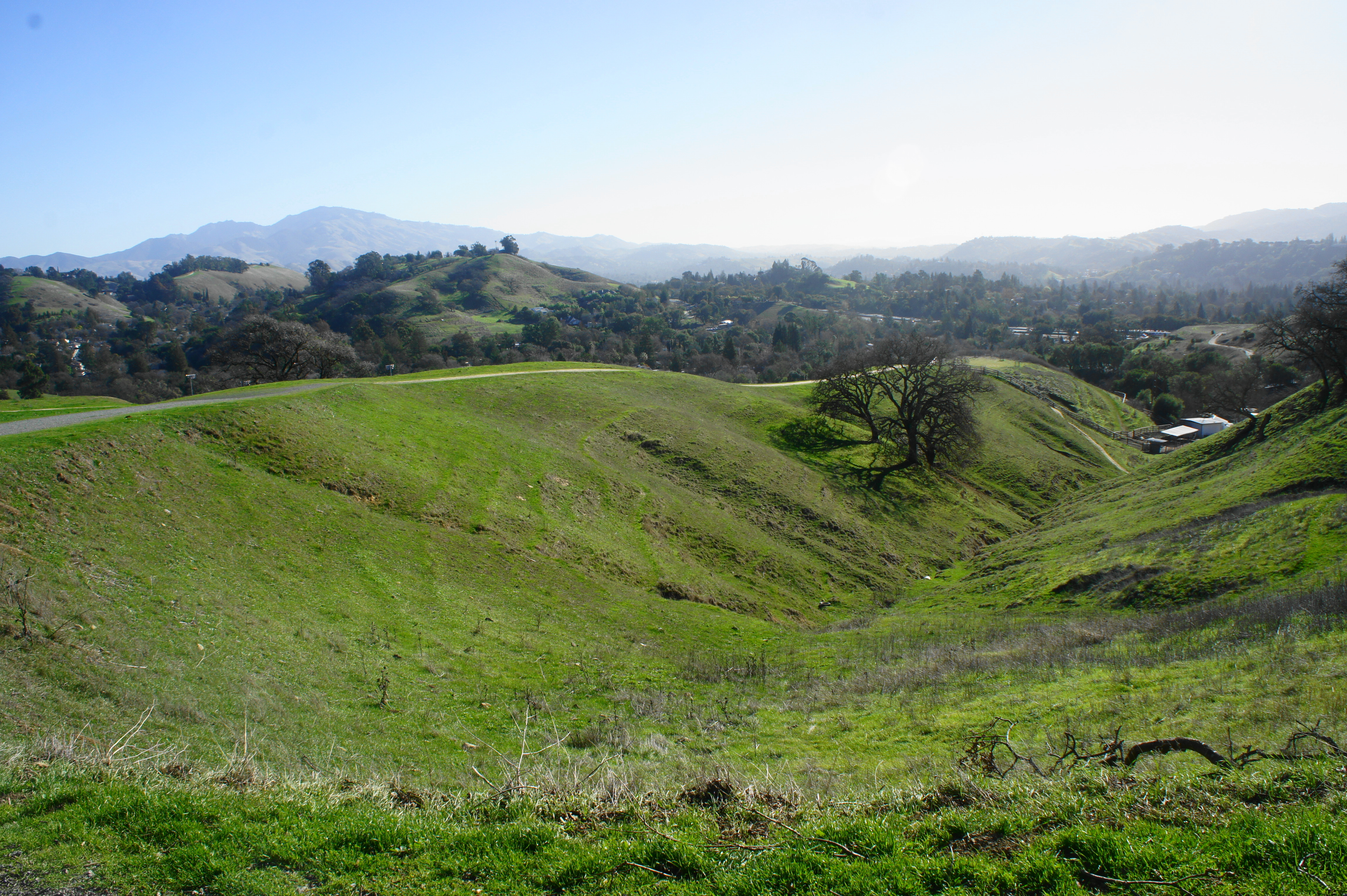
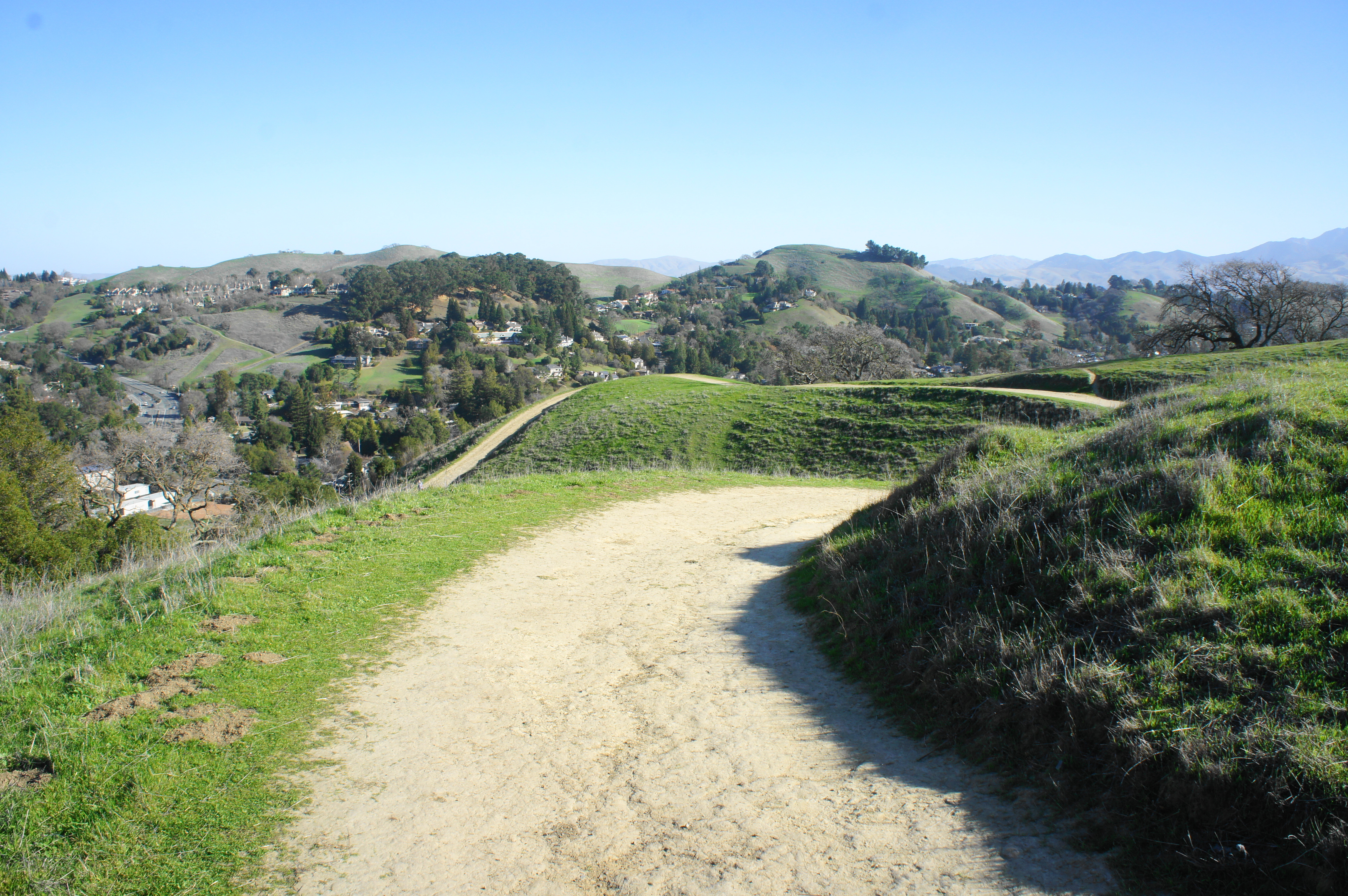
The standard-bearer hike in this part of Briones, the Lafayette Ridge Trail extends three miles and can be combined with a spur to Russell Peak for a 7.2-mile out-and-back. Ascend the gravel track from the staging area, following the signs for the Lafayette Ridge Trail as it winds and bends up to the ridgetop. Enjoy the views back to Mount Diablo as the wide path climbs steadily then settles into an up and down, making its way toward the Briones Crest. Ignore the various spur trails, then bear left as the Lafayette Ridge Trail merges with the incoming track from Briones Ranch. Climb to the crest and bear left again, taking the Russell Peak Trail to a final spur; this leads to the summit and expansive views southward. Return the way you came.
See my post on February 27, 2021 for a full trail description.

Reading your description of Briones, Andrew — those steep climbs, the rolling ridges, and the way the trails open up to sweeping views — it instantly transported me back to my own journeys in Nepal. It felt like I was on the Ghorepani Poon Hill trail again, trekking through lush greenery, where every bend reveals a new horizon and every climb is rewarded with a breathtaking panorama. It reminded me of waking up in Pokhara, that serene “land of mountains,” watching the sunrise over the Annapurnas as paragliders float silently above Phewa Lake — that same blend of adventure and calm you’ve captured so beautifully here.
Your post doesn’t just describe a hike; it evokes that deeper connection we travelers crave — where the trail becomes more than a path, but a journey into yourself. It makes me want to lace up my boots again and chase that feeling, whether in California’s hills or Nepal’s Himalayas.
https://www.himalayaheart.com/trip/10-days-ghorepani-poon-hill-trek
Pingback: Top 10 Hikes in Briones Regional Park – Live and Let Hike