Top 10 Hikes in Capitol Reef National Park’s “Backcountry”

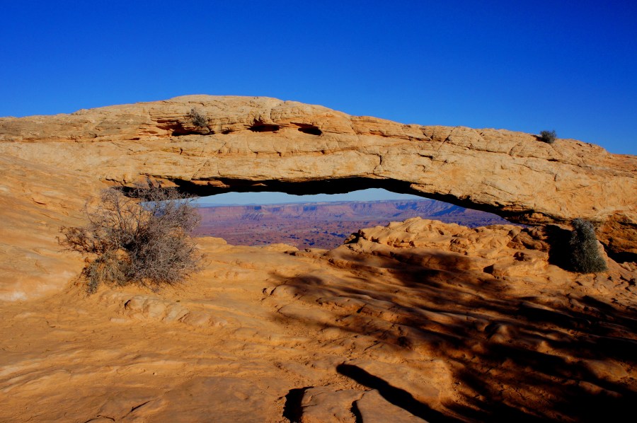
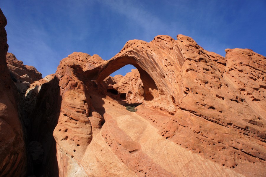
Most hikers in Capitol Reef National Park will stick to the 15 maintained trails in the principal Fremont River District. But it is the remote and scintillating backcountry that harbors the park’s greatest gems. After last month presenting a (subjective) list of the ten best hikes in the park’s “frontcountry,” this post will outline the …

Continue reading Top 10 Hikes in Capitol Reef National Park’s “Backcountry”

Interstate 70 through eastern Utah

Interstate 70, a principal artery for long-distance travelers across the United States, covers 2,153 and crosses nine state lines between Utah and Baltimore, Maryland—and most of the route, admittedly, is less than scintillating. After all, America’s mega-highways were built primarily for ease of travel, not to catch scenic views. There are a few spots where …

Continue reading Interstate 70 through eastern Utah

Island in the Sky District, Canyonlands National Park (photo collection)

Less than an hour’s drive from Moab, Utah, the Island in the Sky District is the most frequented of Canyonlands National Park’s four sections. What squiggly canyons and spindly knobs are to the nearby Needles District, sweeping overlooks are to Island in the Sky. While hiking is the most encouraged activity of this blog, Island …

Continue reading Island in the Sky District, Canyonlands National Park (photo collection)

Mesa Arch Trail (Canyonlands National Park, UT)

Pictures of iconic Mesa Arch, often photographed in the early morning glow, frequently grace the pages of calendars and coffee table books. There is something about the arch, maybe the most popular destination in Utah’s Canyonlands National Park, which catches the eye. Perhaps it is the setting—the rare instance in which a natural arch is …

Continue reading Mesa Arch Trail (Canyonlands National Park, UT)

Upheaval Dome Trail (Canyonlands National Park, UT)

Upheaval Dome—a deep, circular depression containing sharp, chalky badlands—is one of Utah’s Canyonlands National Park’s, or even the American Southwest’s, greatest geological mysteries. How did this peculiar feature form? Geologists continue today to debate the answer. To some, Upheaval Dome is a hollowed crater, evidence of a meteorite strike some 200 million years ago. To …

Continue reading Upheaval Dome Trail (Canyonlands National Park, UT)

White Rim Overlook Trail (Canyonlands National Park, UT)

Though just up the road from Grand View Point in Canyonlands National Park’s Island in the Sky District, the White Rim Overlook Trail receives far fewer visitors. The hike, an easy and quick jaunt out to the southeast tip of the “Island” plateau, offers unobstructed vistas to the north, south, and east—some of the best …

Continue reading White Rim Overlook Trail (Canyonlands National Park, UT)

Grand View Point Trail (Canyonlands National Park, UT)

Grand View Point, one of the finest overlooks in Utah’s Canyonlands National Park, is situated at the end of the principal drive through the park’s iconic Island in the Sky District. Visitors in search of a rather casual stroll can venture even farther, hiking from Grand View Point to the very southern tip of the …

Continue reading Grand View Point Trail (Canyonlands National Park, UT)

Utah Highway 279 from Moab

Moab, Utah—the now iconic hangout for hikers, bikers, climbers, and alas, jeep enthusiasts—is situated amid a sea of slickrock and flanked by the Colorado River, the blissful sculptor of many of the American Southwest’s grandest canyons. While millions flock to Moab’s Arches or Canyonlands National Parks each year, lesser-known Highway 279 follows one of the …

Continue reading Utah Highway 279 from Moab

Corona Arch Trail, including Bowtie Arch and Pinto Arch (Moab area, UT)

Boasting an aperture of 140 ft. by 105 ft., Corona Arch is one of Utah’s largest—and most spectacular—natural arches. Yet its location, tucked away amidst BLM land, keeps the place relatively unspoiled, in contrast with the swarming crowds of nearby Arches National Park. Corona is situated amidst a seemingly endless sea of slickrock of the …

Continue reading Corona Arch Trail, including Bowtie Arch and Pinto Arch (Moab area, UT)

Notom-Bullfrog Road and Burr Trail to Bullfrog Marina

If you’ve made it to Capitol Reef National Park in central Utah, you’ve already reached one of the American West’s most isolated destinations. Wayne County, in which much of Capitol Reef is located, has not a single stoplight, and any delays encountered on the road are more often than not of the bovine kind. Most …

Continue reading Notom-Bullfrog Road and Burr Trail to Bullfrog Marina