

The East Canyon Trail is the longest—and probably the least visited—trail in Colorado’s Castlewood Canyon State Park. The rugged path weaves east along slickrock rims from the Bridge Canyon Overlook, descends to the canyon bottom, and forms a short circuit around the East Canyon Preservation Area, which protects a variety of flora and fauna in desert grassland and canyon riparian environments. This stem-and-loop hike offers solitude in an otherwise increasingly popular park situated within an hour’s drive of the Denver metro. (Note: Due to the area’s “preservation area” designation, the East Canyon Trail is closed in the fall and winter.)


The hike
The East Canyon Trail can be accessed from the Bridge Canyon Overlook parking area, located just beyond Castlewood Canyon State Park’s east (main) entrance station. (Note: From Franktown, drive south five miles on Highway 86, then turn right to enter the park.) Follow signs pointing toward the overlook.
The hike begins on a concrete, wheelchair-accessible path leading to the viewpoint. After about 150 feet, the well-signed East Canyon Trail takes off to the right.

Immediately the tread of the route becomes noticeably more rugged, traversing rocky patches composed chiefly of Castle Rock conglomerate, an amalgam of igneous and metamorphic rock (including quartzite, rhyolite, and granite). Neatly-arranged rock cairns lead the way. Colorado’s iconic ponderosa pines dot the landscape, alongside the occasional Rocky mountain juniper or Douglas fir. At the same time, the abundance of prickly pear cactus serves as a reminder of Castlewood Canyon’s semi-arid climate.
Bearing south and east, it will be at least 1/3 mile before the trail offers an unobstructed view of Castlewood Canyon, though the presence of the deep incision is felt. The highway bridge over the gorge (beyond which lies the preservation area) can be seen sporadically through the trees—but before reaching it, the trail must first skirt around two rocky and brush-filled ravines. In springtime, or after recent rains, both are likely to harbor murky pools of water.

Less than ½ mile from the trailhead, the East Canyon Trail approaches the structure known as the “Bridge to Nowhere.” The archway, constructed in 1946, owes its dubious moniker to an engineer’s change of plans that left south-bound Highway 83 unpaved beyond this point. It was not until the 1960s that the rest of the highway was asphalted all the way to Colorado Springs.

The trail drops down a short flight of stairs to clear the bridge from below, where a wooden boardwalk leads under the highway and into the East Canyon Preservation Area. The passage offers excellent views both up and down Castlewood Canyon.

The canyon ahead, carved by perennial Cherry Creek, is rather wide, shallow, and marshy. In contrast with the Inner Canyon hike to the west, the East Canyon is relatively free of rhyolite boulders, replaced instead by broad, grassy slopes and dense thickets of spiny willows.
For the next ¾ mile, the route follows the southern rim of the canyon, though it keeps well clear of the cliff edge. A little over a mile into the hike, the trail abruptly descends to the bottom of the canyon, which at this point is a mere 30-40 feet deep. A wooden bridge, unsupported by beams or other pillars, traverses Cherry Creek, crossing to the east side.

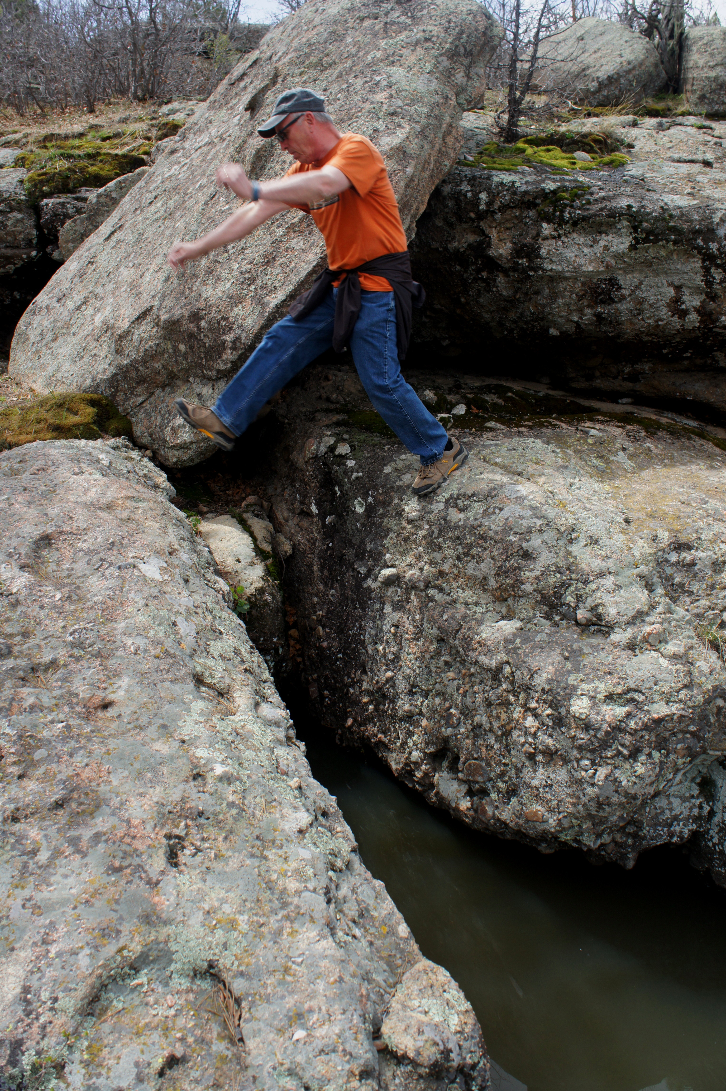
The trail beyond bears south for less than 1/10 mile before angling east up a significant side drainage guarded by a patch of twisted Gambel oaks. Spring snowmelt fills this boulder-strewn ravine with lovely pools and minor cascades. Grottos support mosses, liverworts, and occasional ferns, and the sound of crowing frogs is, at certain times of year, ever-present.

After crisscrossing the drainage in a number of places, hikers reach a trail fork at 1.4 miles. The signed junction marks the start of the 1.2-mile loop portion.
Bearing right at the junction, hike in a counter-clockwise direction around the loop. Minutes from the trail fork, a gradual ascent up a stony ravine leads to a broadly sloping grassland. Here the pines and junipers virtually disappear into the rear view mirror, replaced by patches of bunchgrass, broad-leaf yucca, and sagebrush shrubs.
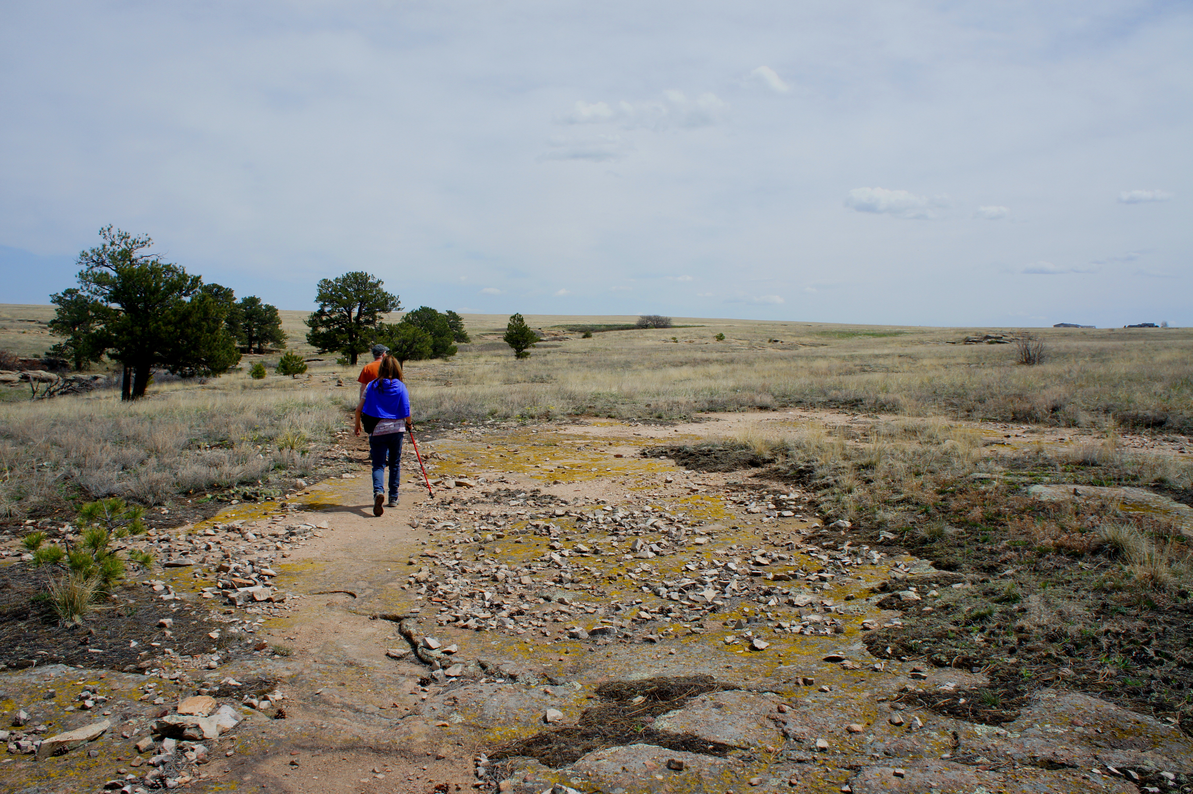
With some distance from tree cover, excellent views of the Front Range unfold, including a look at mighty Pikes Peak (14,114’) rising to the southwest. To the north and east, unfortunately, the open expanse is partially blemished by the sight of creeping housing developments.

After skirting a significant ravine and cutting west across a grassy slope, the trail follows a minor draw back to the rim of Castlewood Canyon, then the perimeter of the significant ravine where the loop section began. A short descent leads back to the trail fork.
From here, retrace your steps 1.4 miles back to the trailhead. Allot 2-3 hours for the round-trip hike.
Extra credit
Live and Let Hike also recommends two other loop hikes in Castlewood Canyon State Park:
- Inner Canyon – Lake Gulch Trail Loop (1.8 mi. round-trip; moderate)
- Castlewood Canyon East-to-West Hike, including Lake Gulch, Creek Bottom, Dam, and Homestead Trails (3.2 mi. one-way shuttle; moderate)
Moreover, through the end of 2015, Castlewood Canyon State Park is offering challenge coins to any hiker who logs 100 total miles on the park’s 15 trails. Keep track of your miles here and return a completed sheet to the Visitor Center (near the east entrance to the park) to receive your prize.
