Crater Lake National Park, OR

DSC01554

Crater Lake National Park, July 2017

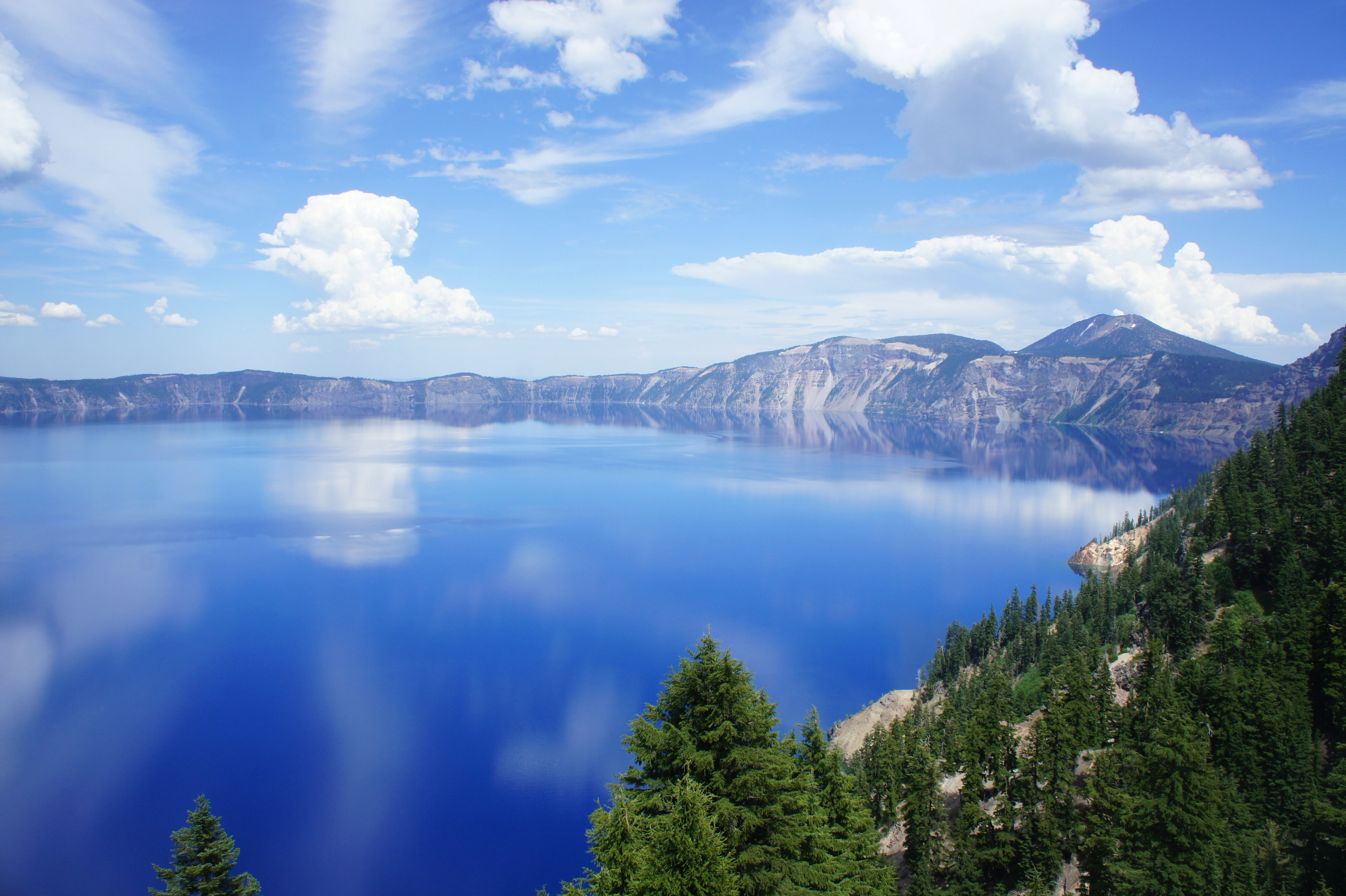
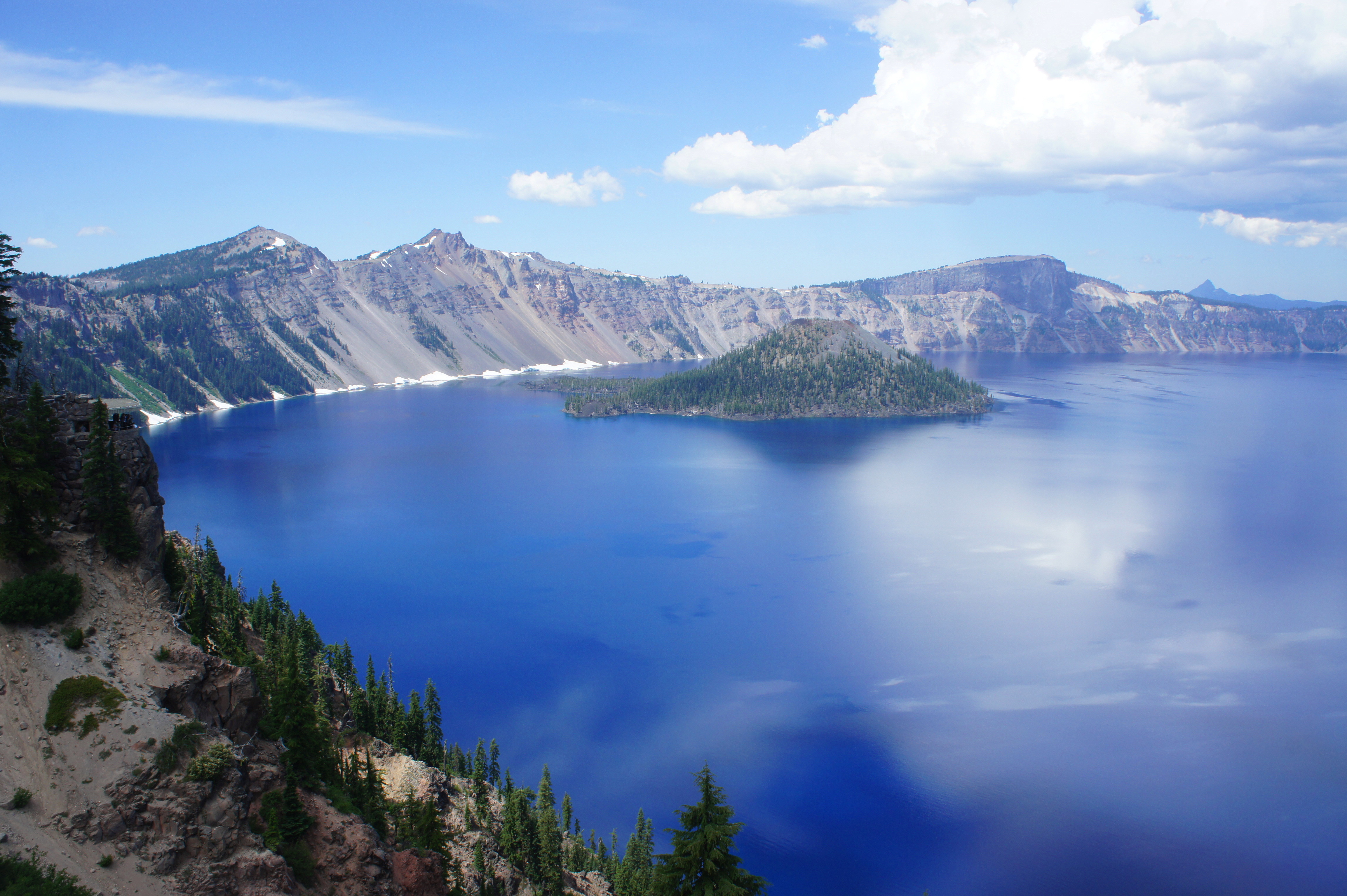
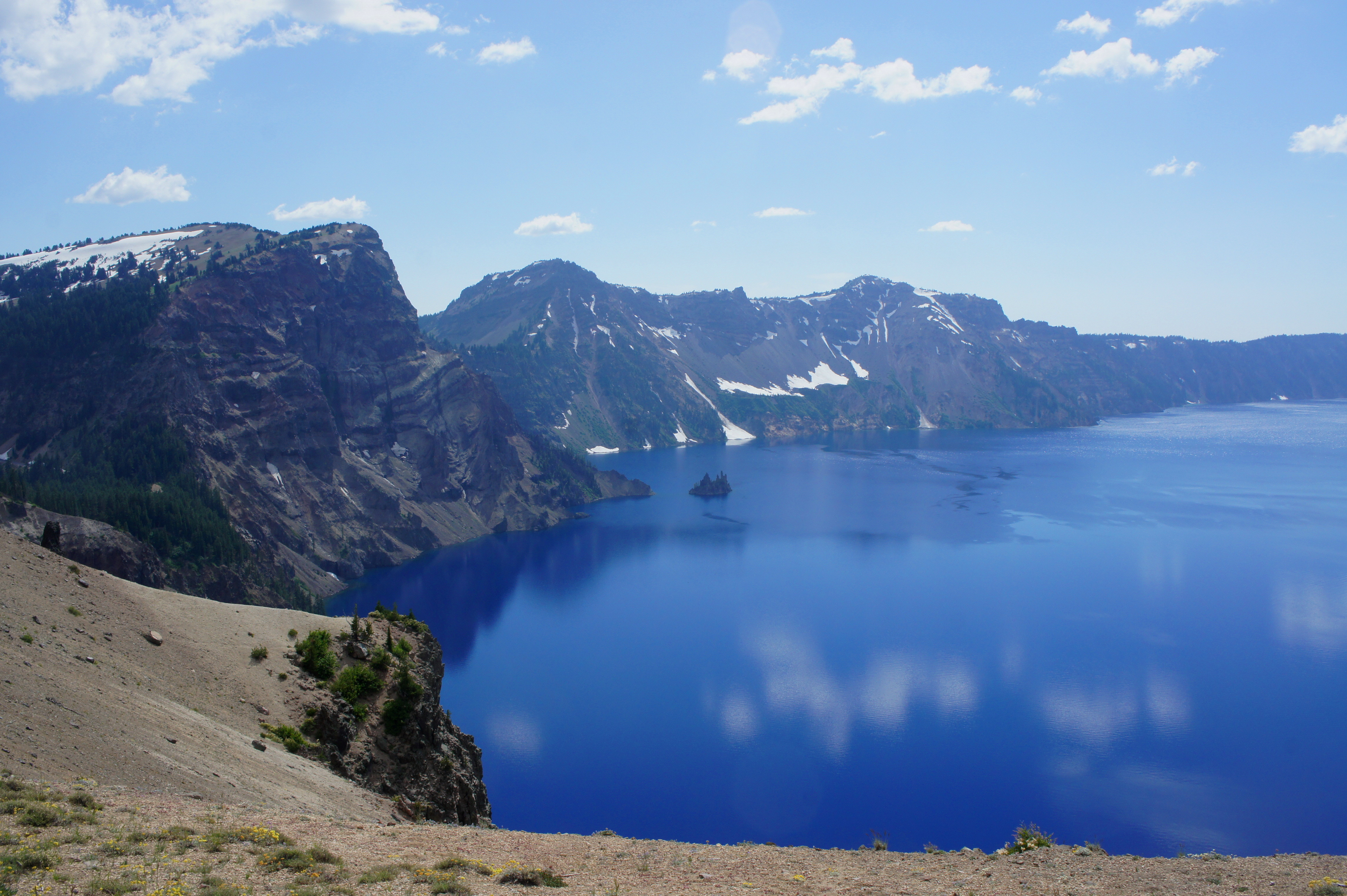
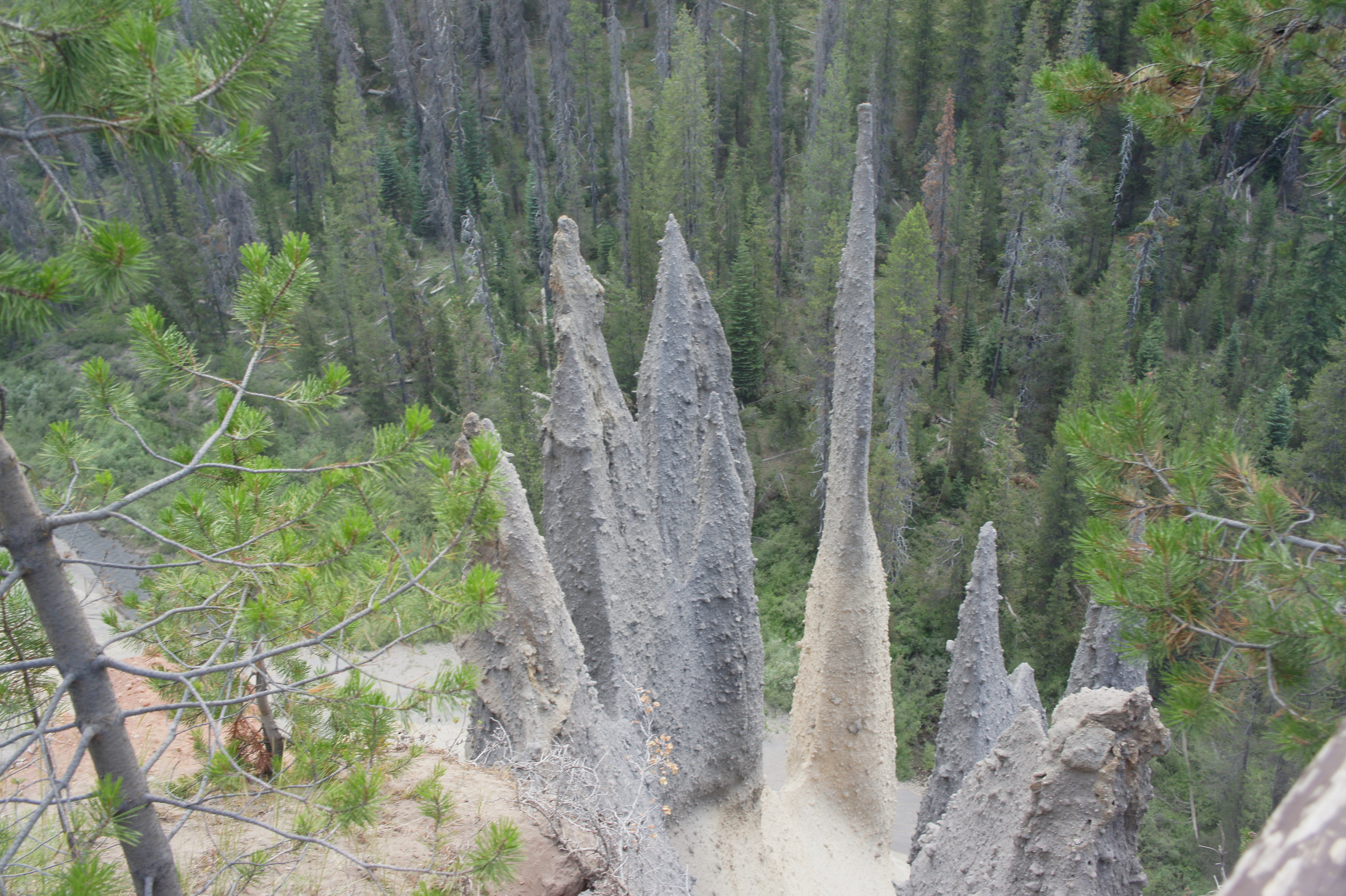
Oregon’s Crater Lake, America’s deepest lake, is also arguably its bluest. Fed entirely by rain water and snowmelt, this natural wonder and centerpiece of Crater Lake National Park was formed after the explosion of an ancient volcano—Mount Mazama—about 7,700 years ago. Volcanic features dot the landscape around the lake, including the Pinnacles, a set of now-cooled pumice spires that were once channels for underground steam and gas. The 33-mile Rim Drive encircles the lake, while a bevy of hiking trails offer access to various viewpoints, canyons, and waterfalls. Visit in summer or early fall, as snowpack leads to road closures during much of the rest of the year. (Note: For more information, see the Crater Lake National Park Guide.)

DSC01550

Crater Lake from near the Rim Visitor Center

SONY DSC

Wizard Island, accessed by boat from Cleetwood Cove

SONY DSC

Crater Lake looking north

DSC01559

Vidae Falls, just off the East Rim Drive

DSC01562

View of Klamath Valley from East Rim Drive

DSC01563

Phantom Ship

DSC01565

View of Phantom Ship, Garfield Peak, and Crater Lake from an overlook on East Rim Drive

DSC01568

Pinnacles

DSC01569

Pinnacles Overlook


This entry was posted in Crater Lake National Park, Oregon and tagged , , , , , , . Bookmark the permalink.

1 Response to Crater Lake National Park, OR

  1. Pingback: Crater Lake Trail (Delaware Water Gap National Recreation Area, NJ) | Live and Let Hike

Leave a Reply

Fill in your details below or click an icon to log in:

WordPress.com Logo

You are commenting using your WordPress.com account. Log Out /  Change )

Facebook photo

You are commenting using your Facebook account. Log Out /  Change )

Connecting to %s