
Southern West Virginia’s New River Gorge National River includes dozens of waterfalls, some easier to reach than others. Among the relatively simple is Butcher Branch Falls, which, despite being less than a half-mile from the Kaymoor Top Trailhead, is rarely crowded. The moderately difficult hike drops 150 feet from the western rim of New River Gorge to the base of the falls, also known in some guidebooks as the Upper Falls of Butcher Branch.


The hike
The 0.9-mile out-and-back hike begins at the Kaymoor Top Trailhead, a 3-mile drive east of Fayetteville, West Virginia in the northern section of New River Gorge National River. From Route 16 heading south from Fayetteville, take a left on Gatewood Road, then another left at Kaymoor Road, following the signs for Kaymoor Top. Follow the drive to its end, passing the start for the nearby Craig Branch Trail and Kaymoor Miners Trail. From the parking area, two separate paths—the Fayetteville Trail and the Butcher Branch Trail—bear off into the woods. Bear right on the Butcher Branch Trail, the quickest way to the falls.

Leaving the parking lot behind, the Butcher Branch Trail begins a gradual downhill, then flattens out as it approaches the rim of New River Gorge. Here the terrain drops around 1,000 feet to the canyon floor—although views are limited by a tangle of thick rhododendrons that hug the rim. At around 300 yards, the trail crosses a muddy puddle and man-made pipe, then the trail briefly climbs uphill. A small depression of the left often holds standing water and extensive undergrowth.

At 3/10 mile, the Butcher Branch Trail rounds a sharp, right-hand bend and begins a steady descent. One can hear the tumbling waters as hikers enter the Butcher Branch drainage, a sign that the falls are drawing nearer. After a hard left-hand switchback, the trail forks at about the 1/3-mile mark. Leave the main trail behind, staying right on a spur marked “Climbing Access.”

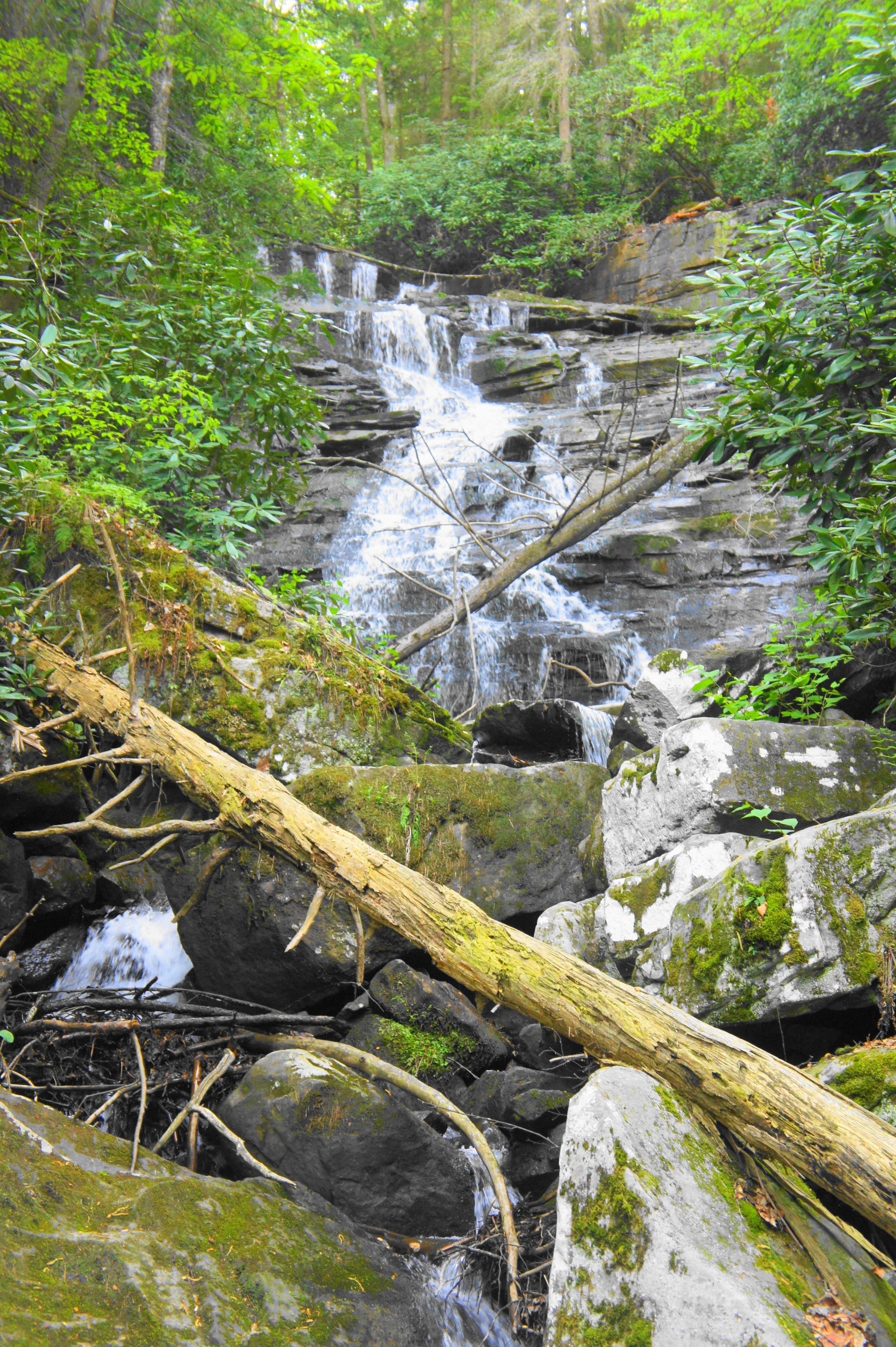
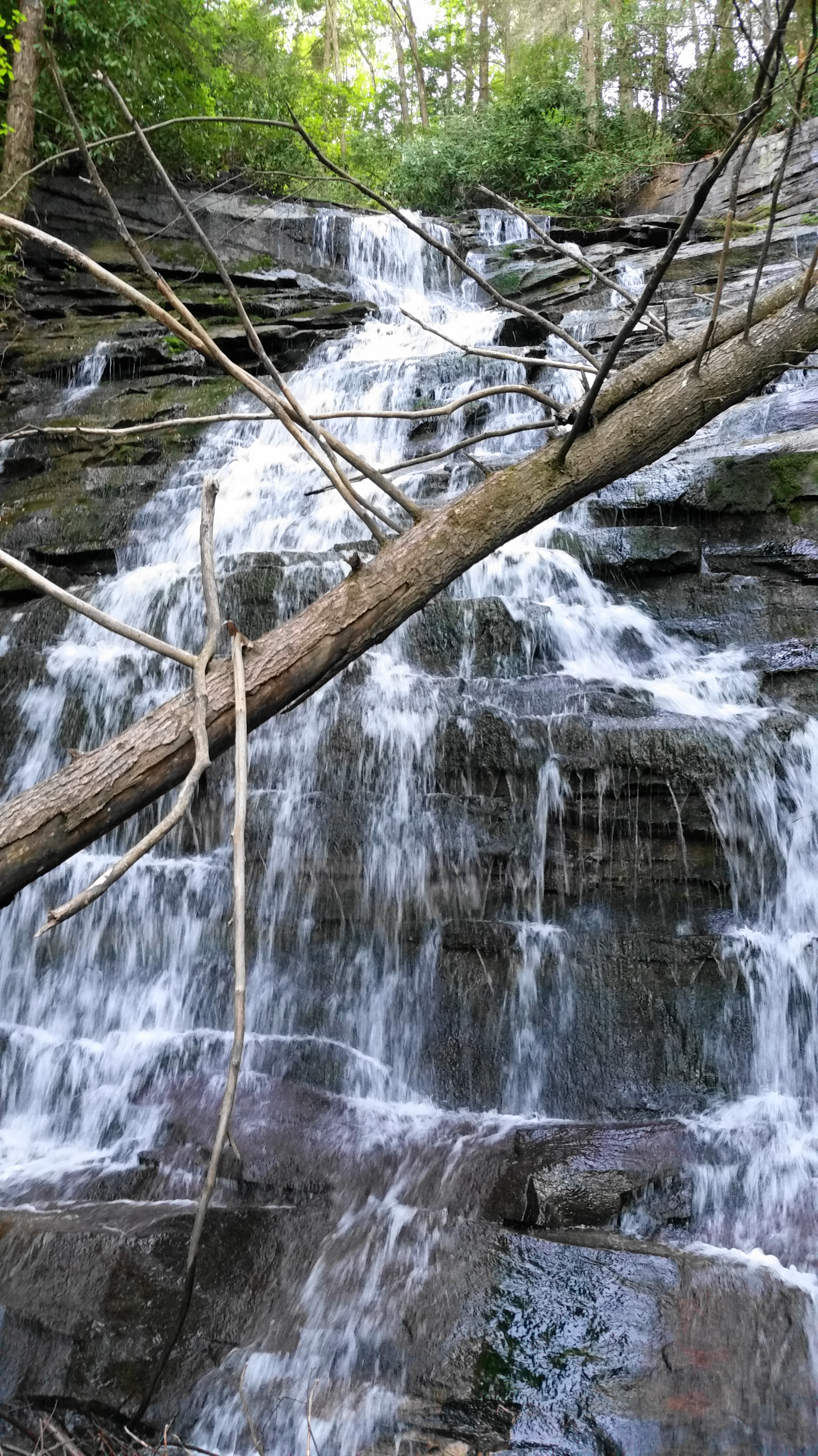
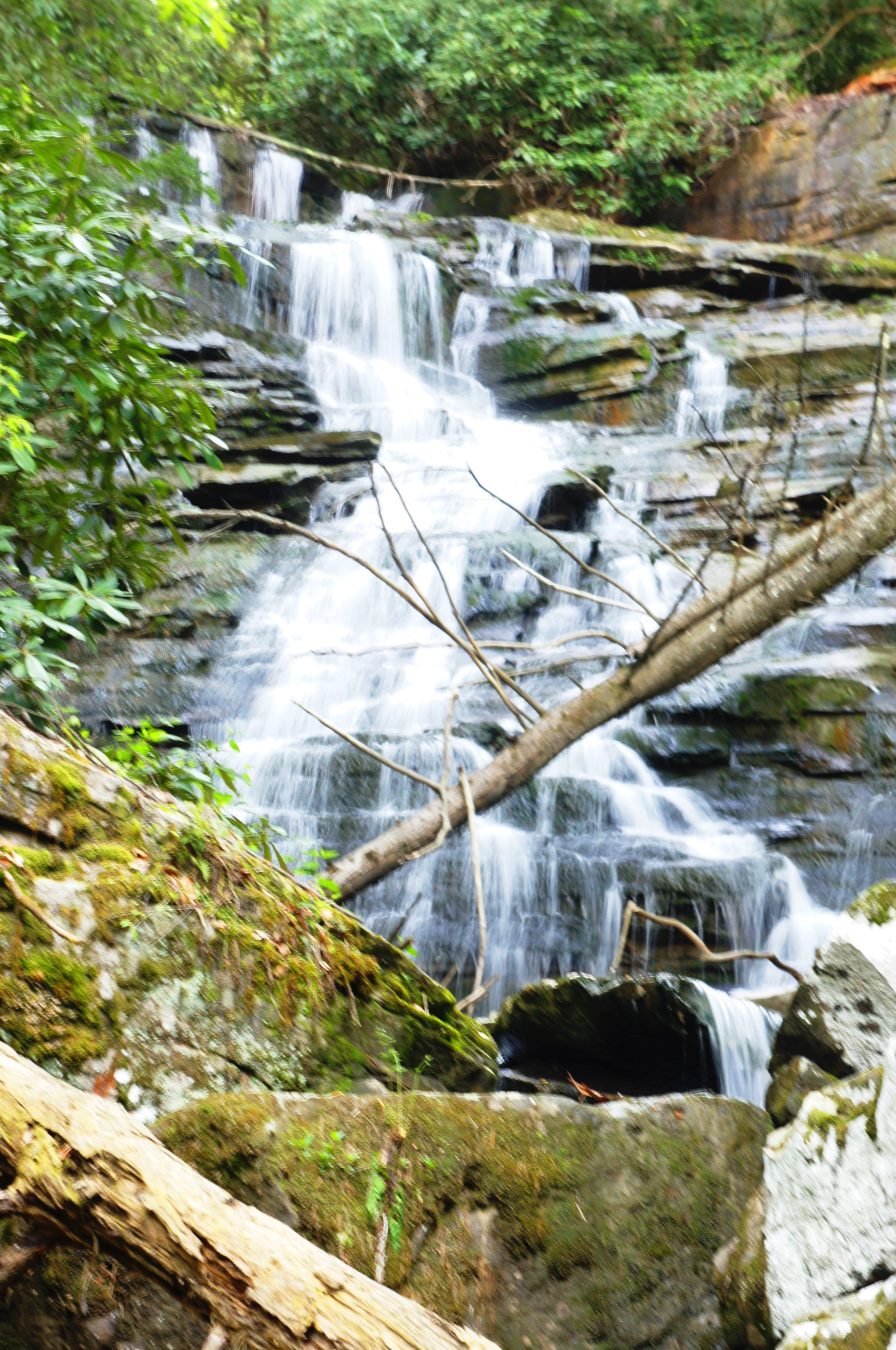
The spur trail immediately descends a steep set of switchbacks and then hugs the base of a blocky wall of sandstone as it approaches Butcher Branch. It is a short walk from here to the creek. Where the path crosses Butcher Branch, stop and look up to the left: here is Butcher Branch Falls, a multi-tiered tumble surrounded by dense vegetation. One can reach the base of the falls with some minor scrambling, but be careful traversing the wet and slippery rocks and log jams.
The spur trail continues westward across Butcher Branch but ends shortly thereafter at the base of a popular climbing area. Return the way you came, walking back uphill to the trailhead. Allot 45 minutes-1 hour for this moderate, out-and-back hike.

Pingback: Three days in Fayetteville, WV | airstream dog
Pingback: New River Gorge National Park - AirstreamDog