
Note: This is part three of a three-post effort to chronicle short day hikes in the East Bay’s Tilden Regional Park. The focus of this post is on the central part of the park, namely the sections located roughly between the Tilden Nature Area to the north and Botanic Garden to the south. For parts one and two of the series, see my previous posts—North/Tilden Nature Area and Central.
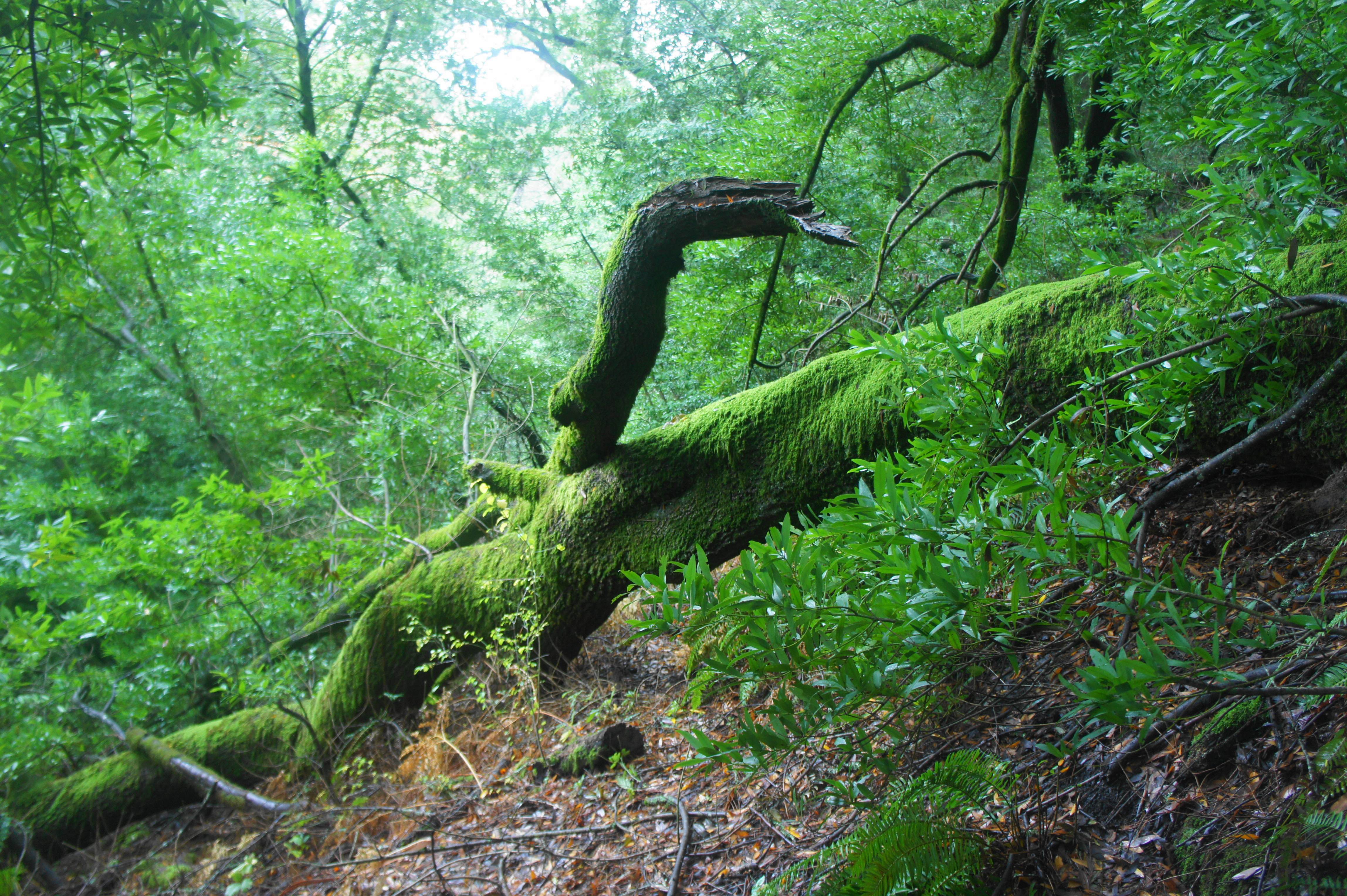
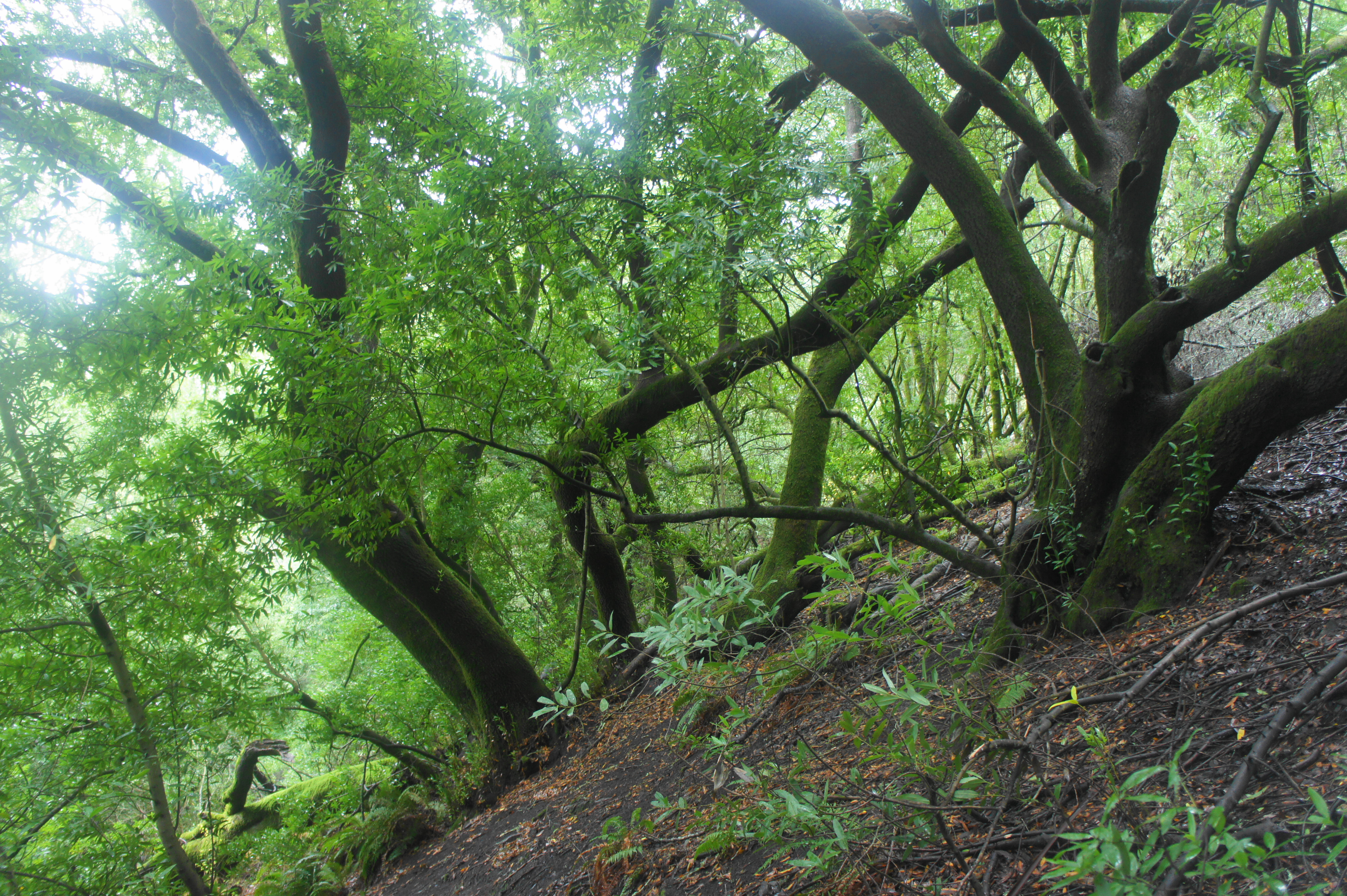
Charles Lee Tilden Regional Park, named for a founding board member of the East Bay Regional Park District, is perhaps the most famous park in the Berkeley Hills and certainly one of the most popular. Recreation opportunities abound, with swimming, golf, biking, horseback riding, camping, picnicking, event spaces, a petting zoo, and even a kid-friendly steam train all available in the 2,079-acre tract. The hiking network is also impressive, with nearly 40 miles of trails—mostly fire roads but also some singletrack—straddling ecologically-diverse terrain. Here you’ll find plenty of natural landscapes resembling what the terrain looked like before it experienced encroaching development: bay/oak woodlands, seasonal streams, windswept hills, and craggy rock outcrops. But the non-native introductions also admittedly make for interesting walking, including stands of Monterey pine and blue gum eucalyptus and recovered pastures. The high ridgeline affords views to San Francisco Bay, Carquinez Strait, and San Pablo and Briones Reservoirs, while Wildcat Canyon harbors hidden (seasonal) cascades, magnificent bay stands, and two small (dammed) lakes. There is also a small botanical garden that highlights native flora from across the state of California.
The park also has the advantage of being relatively easily-accessible, with more than a half-dozen entrances and even a weekend bus line that runs to and from Tilden Nature Area. The park dates to 1936, in the early days of the East Bay Regional Park District, which has sought to try to restore the native ecosystem after the area was ravaged by ranching and logging in the late 19th and early 20th centuries.
My attempt to chronicle the various hike options in Tilden is quite the challenge given the dense trail network and dozens of possible permutations. But splitting the effort into three separate posts—into north, central, and southern sections—eases the task, and emphasis is on forming short and brisk loops, with longer traverses available for the more ambitious. The result is a collection of 26 hikes across the three segments. (Note: This does not include hikes in neighboring Wildcat Canyon Regional Park or the EBMUD Watershed, which abut the park but are documented separately in forthcoming posts.)
South Tilden
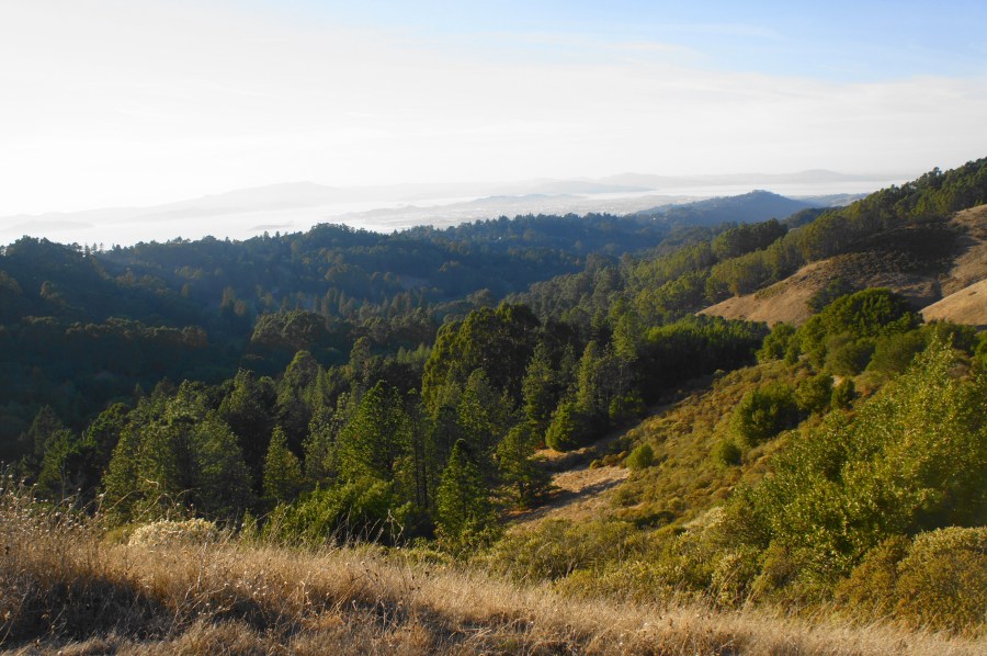
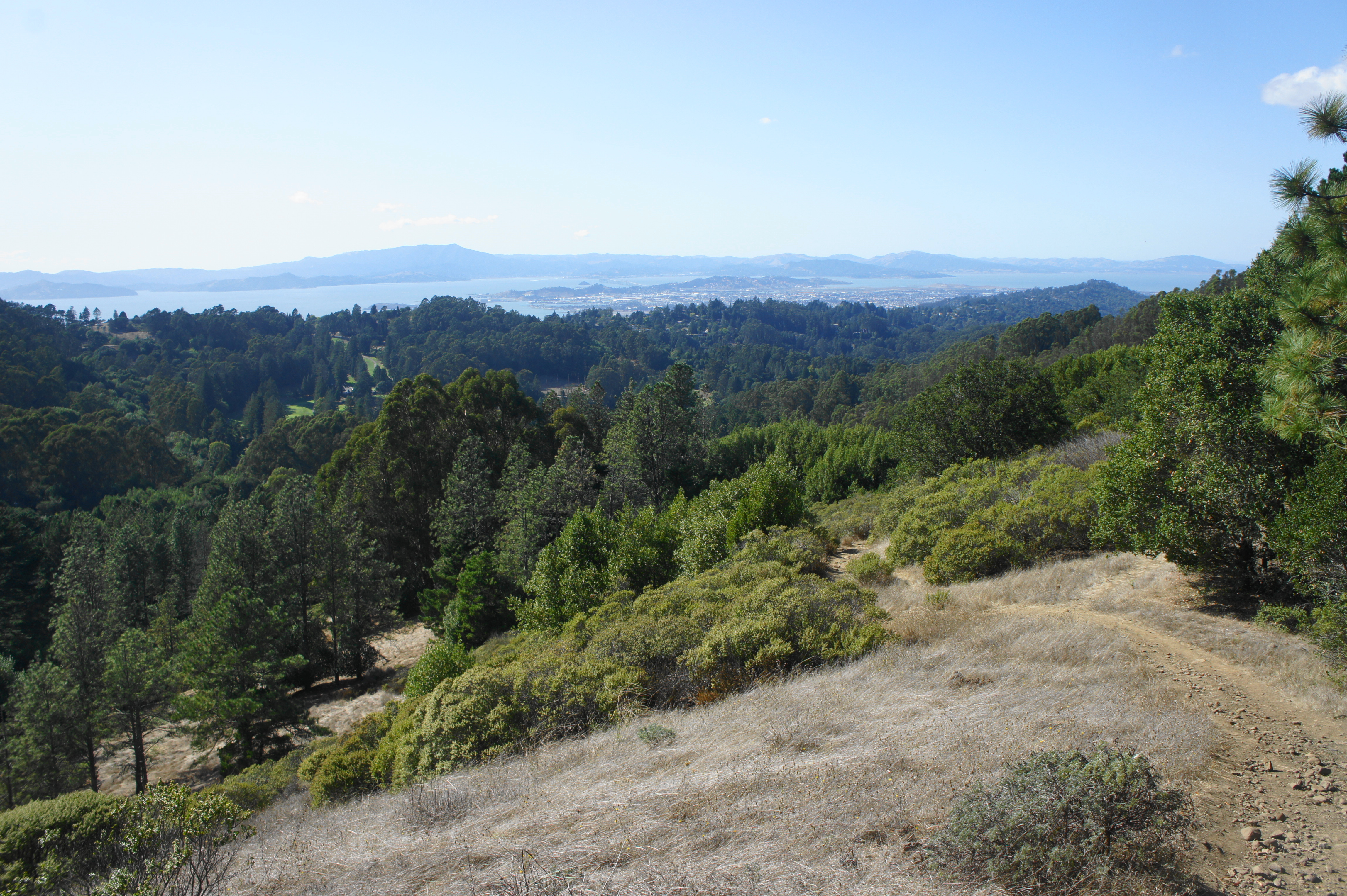
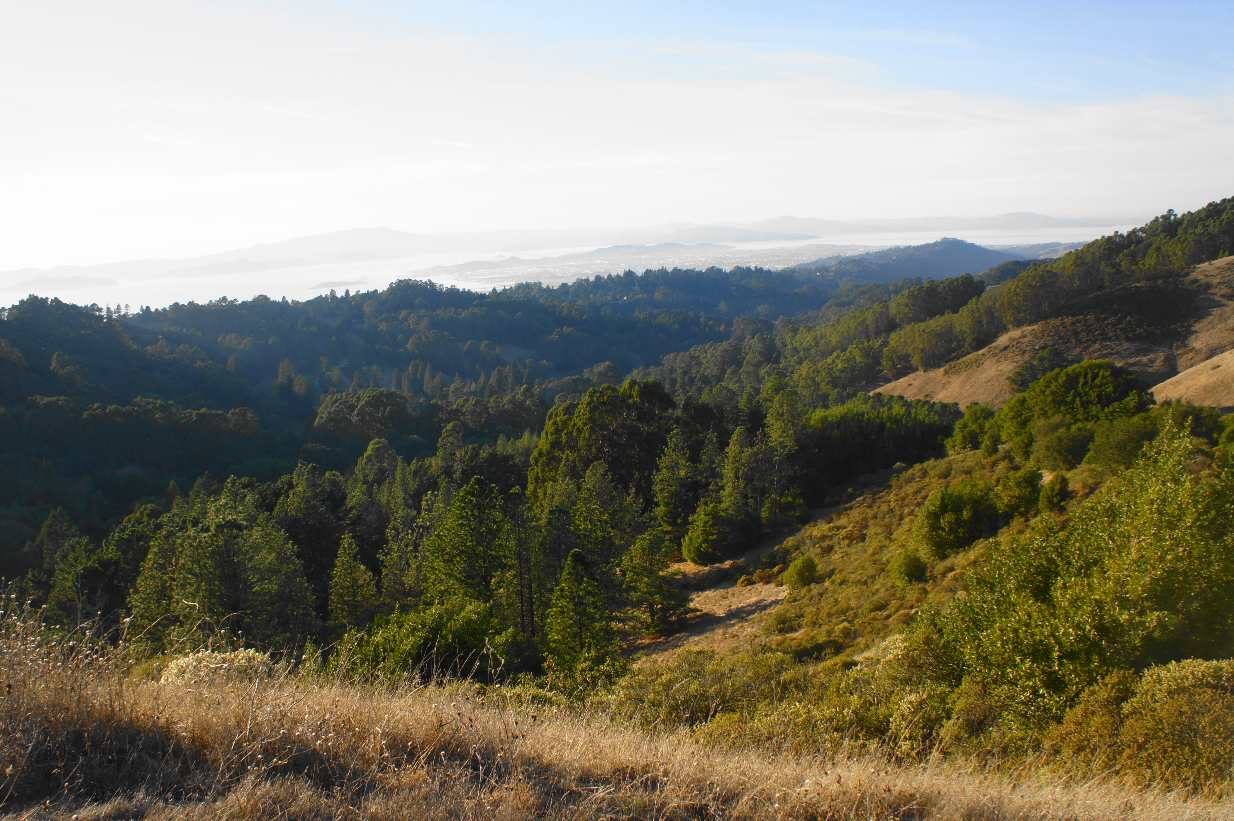
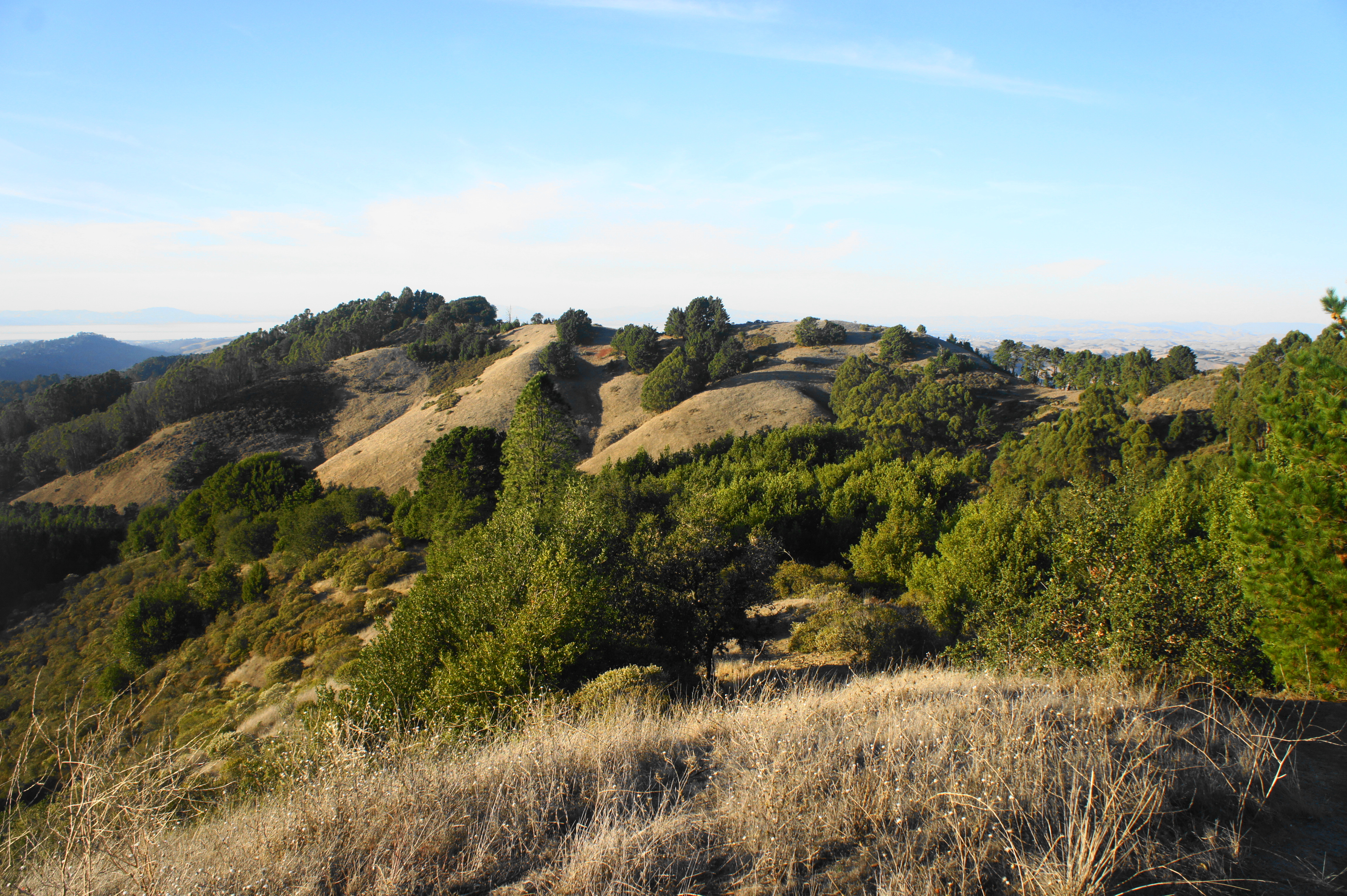
The southern reaches of Tilden cover the park’s highest heights, with dramatic views of the San Francisco Bay, Mount Diablo, and beyond. Here one finds the Tilden Park Golf Course, a number of picnic areas, Gillespie Youth Camp, and the kid-friendly Tilden Steam Train, all well above the hustle and bustle of Berkeley and Oakland. Amid the attractions is a dense network of crisscrossing trails that traverses the woody slopes of Grizzly Peak (1,758’) and Vollmer Peak (1,905’) and explores the headwaters of Wildcat Creek, which runs all the way through the park.
The best time to hike, as with much of the East Bay, is winter and early spring when the greenery comes alive—although this is also when the South Park Drive, which connects several of the trailheads, is closed to protect migrating newts (!). No matter, as there are several other staging points, such as the Seaview Trailhead (at the steam trains), situated just off the junction of Grizzly Peak Road and Lomas Cantadas in Orinda. Various loop options are described below. (Note: Some of these hikes were completed before the new parking restrictions on Grizzly Peak Boulevard; it’s still possible to park, although not legally, so I might suggest instead starting at the alternative trailheads listed below.)
Tower – Grizzly Peak Trail Loop (0.7 mi. stem-and-loop)
Trailhead: parking area on Grizzly Peak Boulevard (Alternatives: Grizzly, Owl, Willows)
Difficulty: Easy
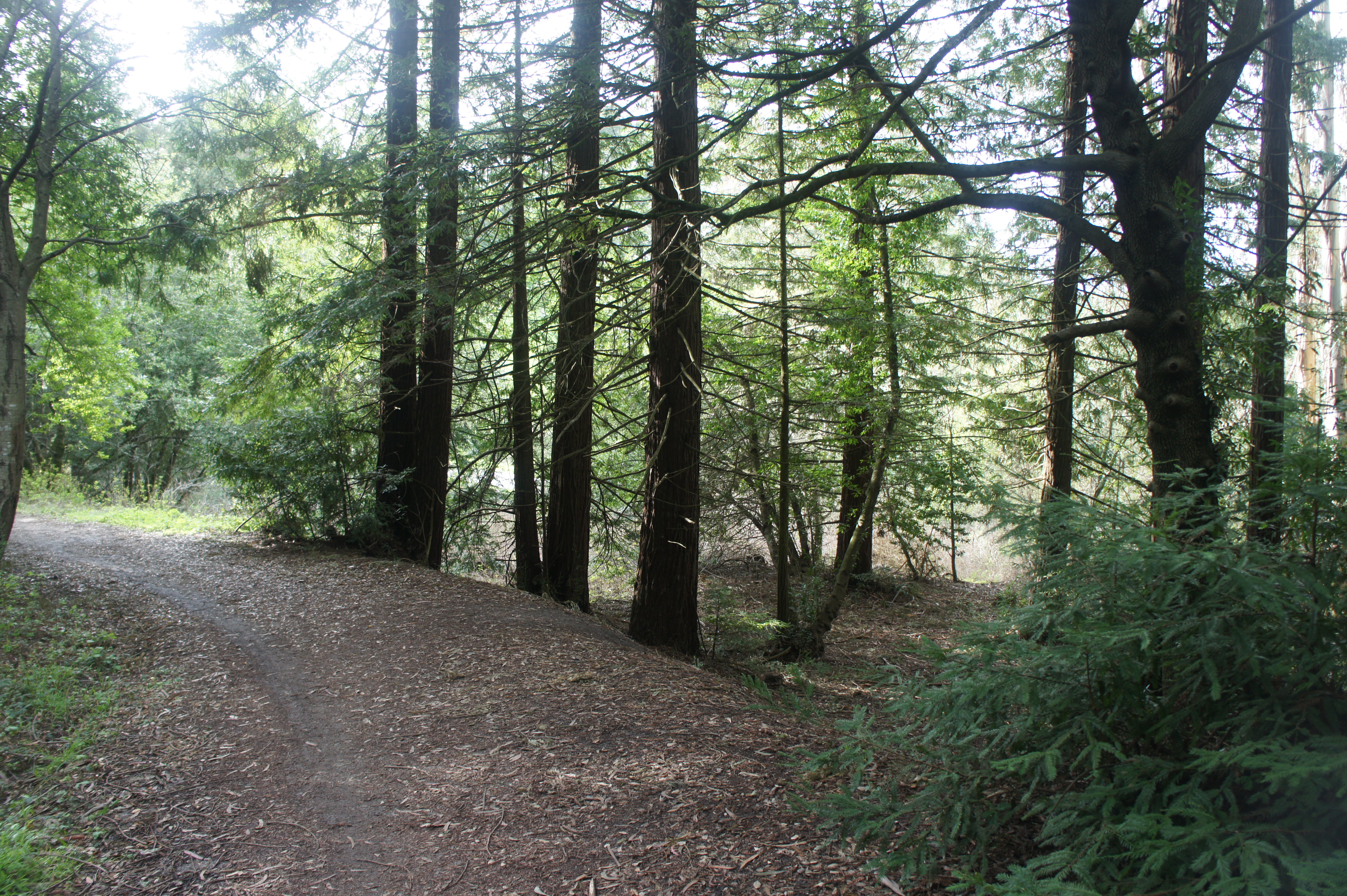
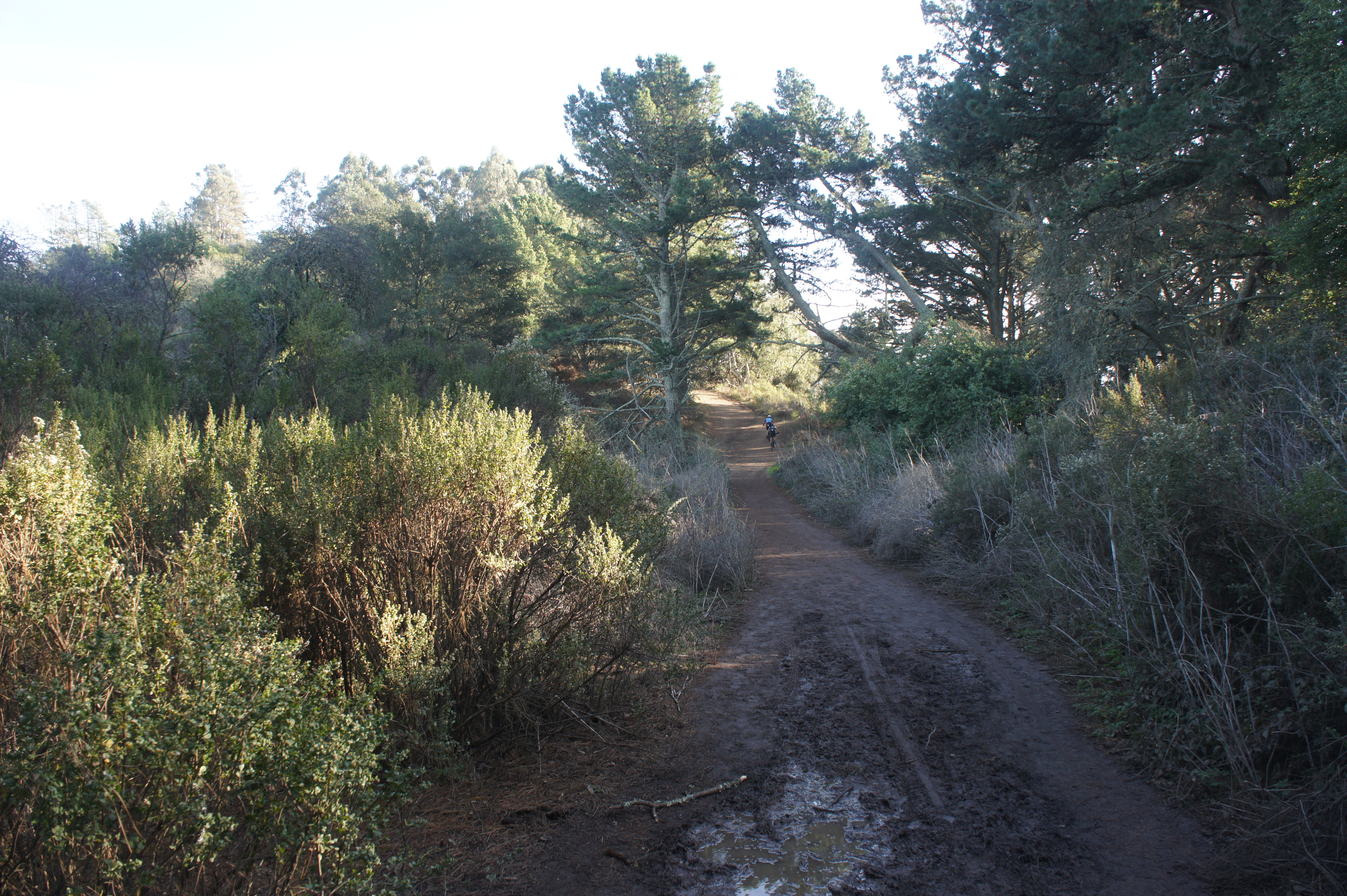
This short loop traverses dense and diverse woodlands, beginning and ending at the trailhead along Grizzly Peak Boulevard (map), across from the overlooks of San Francisco. Follow the Tower Trail straight, past the initial marked junction at 100 yards, then descend a pair of winding switchbacks. Turn right at the fork at 2/10 mile, emerging into an open field surrounded by thick pines. Follow the gravel road at Gillespie Youth Camp as it heads east, then bear right on the Grizzly Peak Trail at 4/10 mile. This track climbs steadily for 1/10 mile, then rounds a ravine and levels off, with obscured views of Wildcat Canyon to the north. Bear left at the junction at 0.6 miles, then follow the path uphill back to the trail’s start.

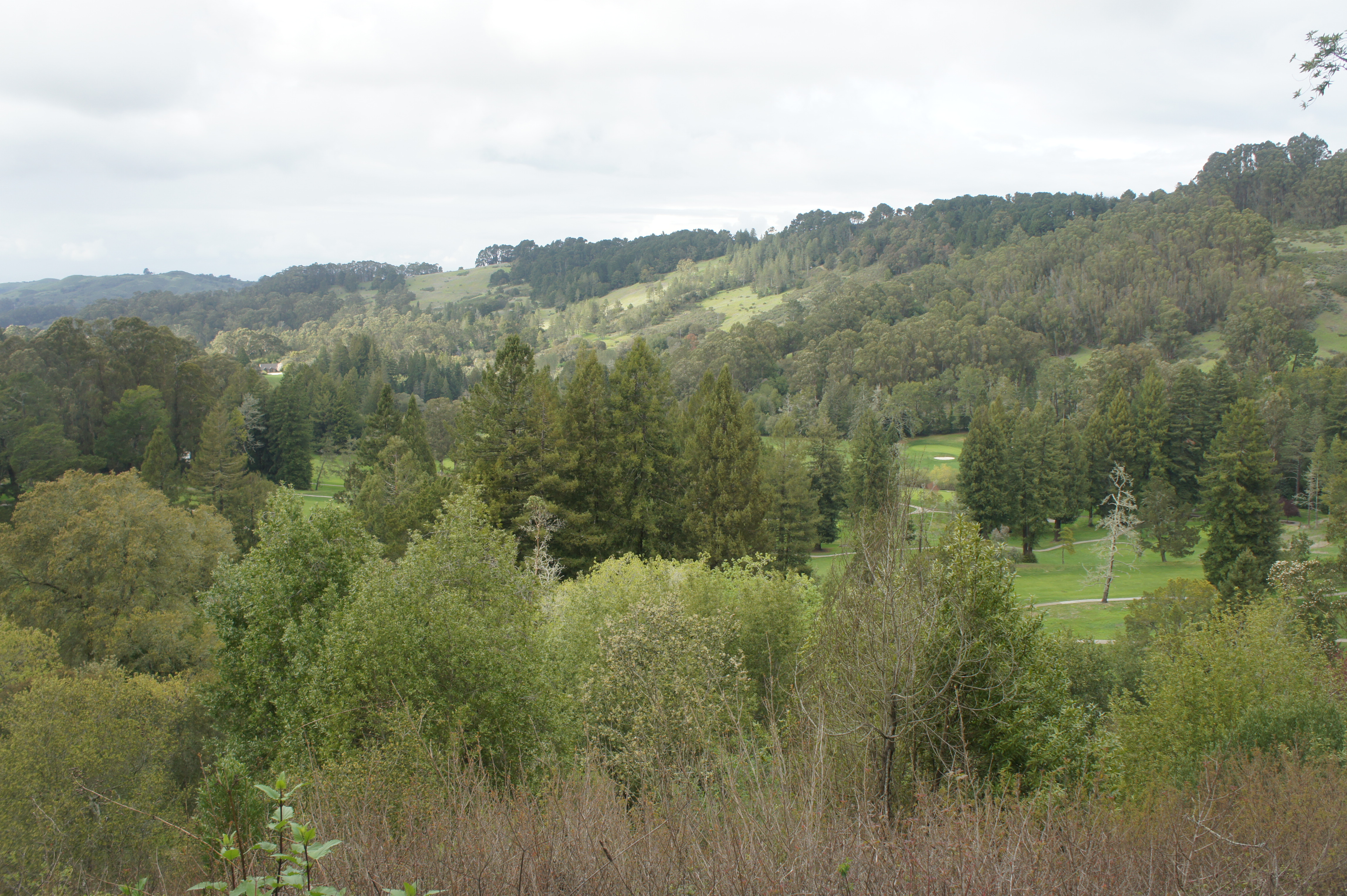
Redwood – Golf Course Trail Loop (1.2 mi. loop)
Trailhead: Golf Course Drive & Centennial Drive (Alternatives: Elder, Laurel)
Difficulty: Easy
Another short loop with modest scenery, the Redwood – Golf Course Trail Loop passes a grove of California redwoods and vistas of Wildcat Canyon. Starting from the parking area near the junction of Golf Course Drive and Centennial Drive (map), follow the Redwood Trail eastward past a grove of its namesake trees, then climb modestly along a hillside with northward views across Wildcat Canyon and Tilden Park Golf Course. After dropping to a junction at 2/3 mile, bear left on the Golf Course Trail, which follows a set of telephone lines before skirting a pretty ravine en route to Gold Course Road. Once at the road, continue 1/10 mile back uphill to the parking area.

Vollmer Peak – Seaview Trail Loop & Vollmer Peak summit (1.4 mi. stem-and-loop)
Trailhead: Seaview
Difficulty: Easy
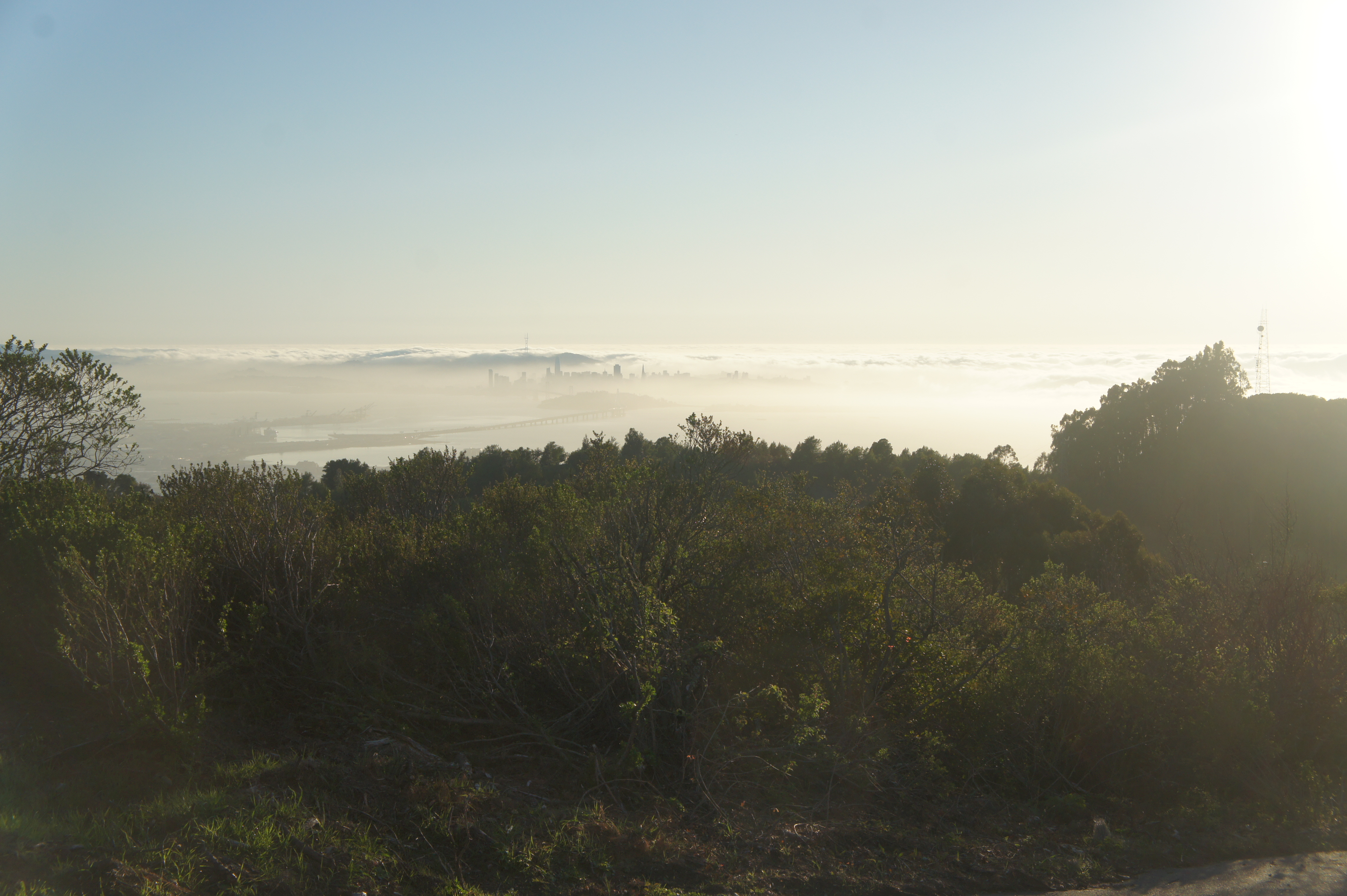
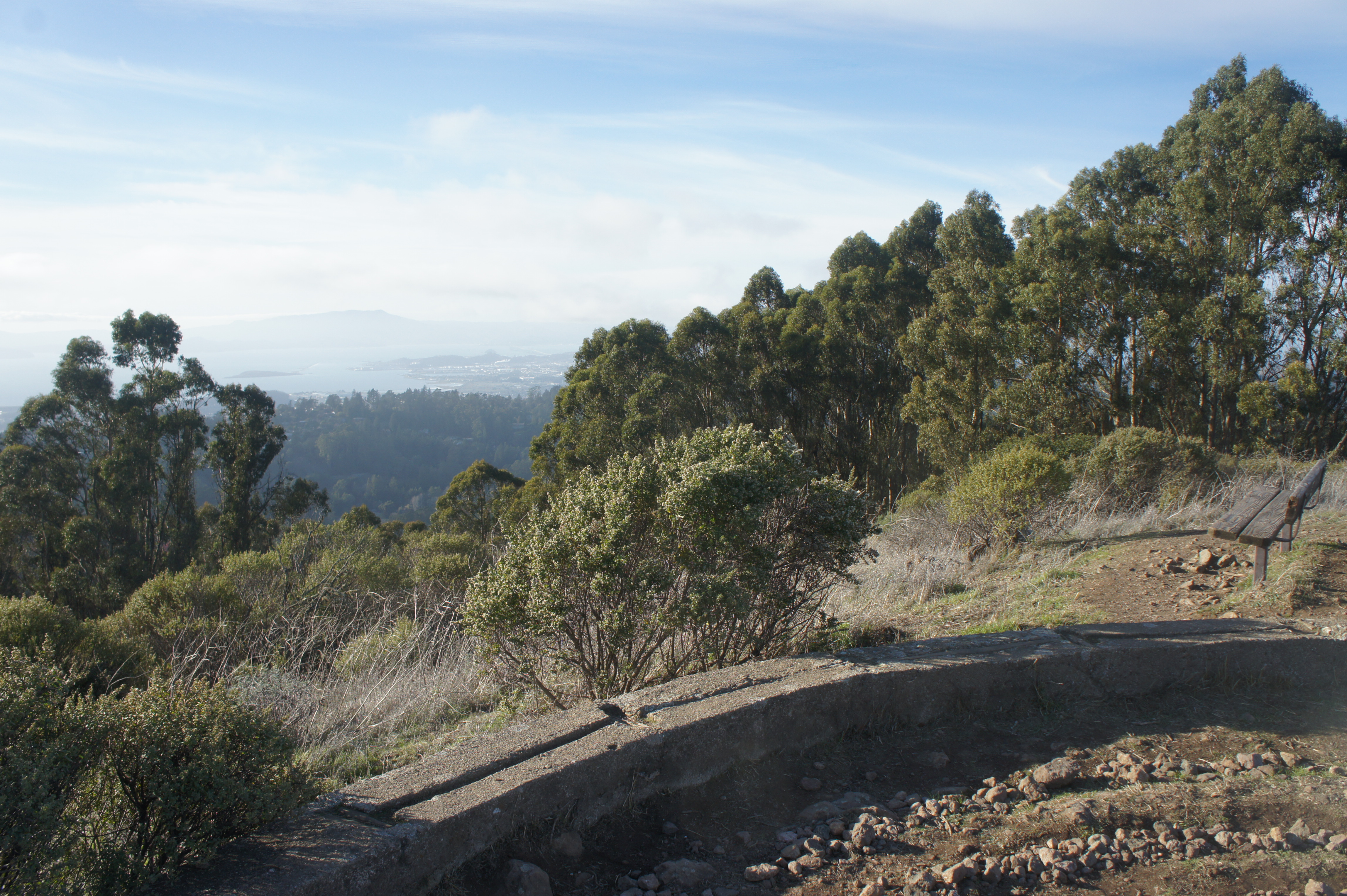
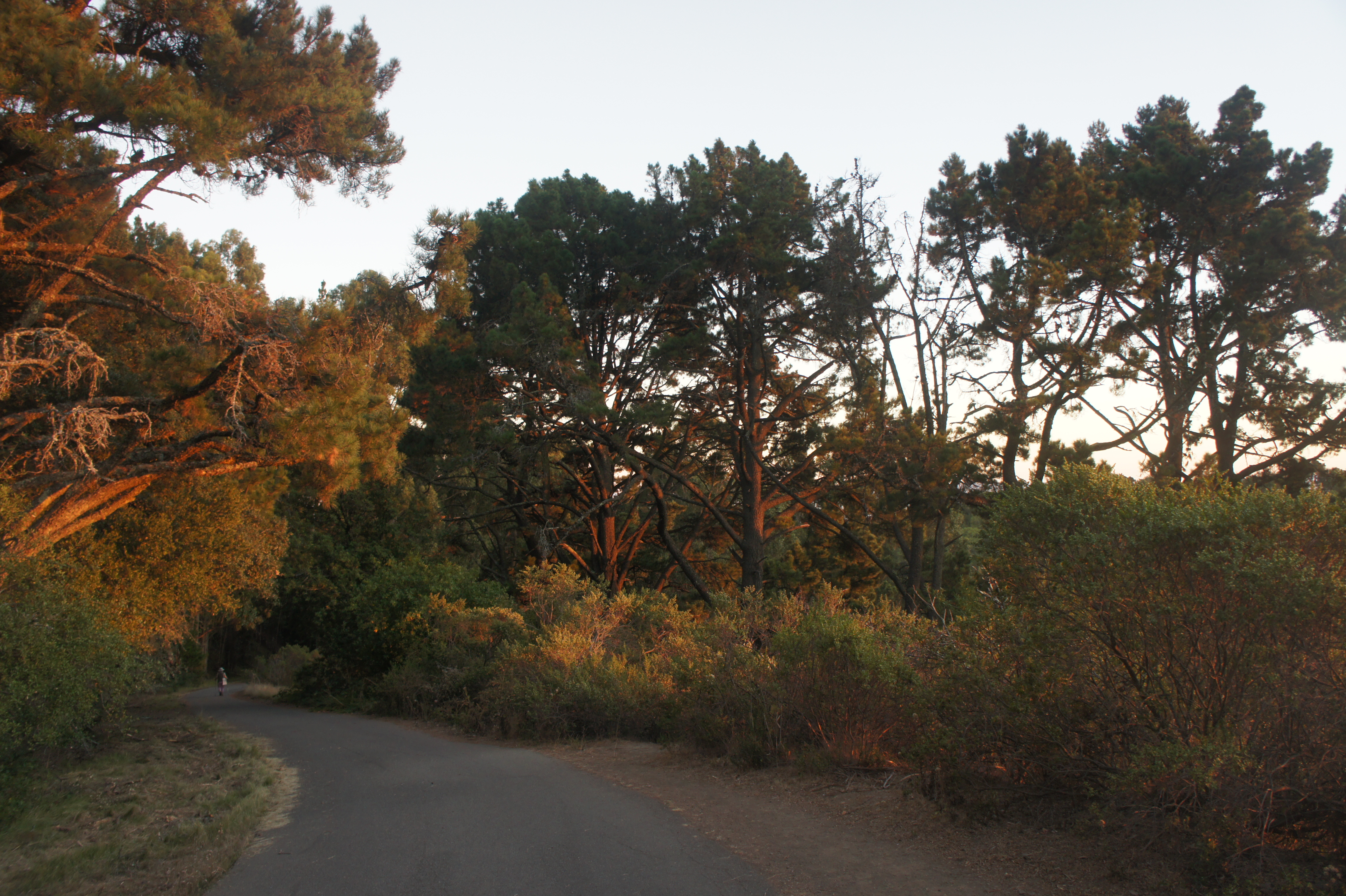
This pleasant stroll features some of the park’s best vistas and a spur to the top of Vollmer Peak (1905’), the highest point in Tilden. Start the loop at the Seaview Trailhead (map), next to the steam trains, off Lomas Cantadas Road. Follow the Vollmer Peak Trail under a canopy of oaks, then bear right at the next two junctions as bay views open up to the west. Follow a sloping trail up into the woods at 3/10 mile, which meets a paved utility road leading to Vollmer Peak. Bear right first, ascending 2/10 mile to the summit with a set of communications towers. From here enjoy views of San Francisco, Oakland, Mount Tamalpais, Briones and San Pablo Reservoirs, Las Trampas Ridge, and Mount Diablo. Return back down the road and continue right as it wraps around to the south and joins the Seaview Trail at about 8/10 mile. Follow the paved track past more eastward views of Mount Diablo and the Briones Hills, then descending the gradually sloping path through eucalyptus and pine back to the trailhead.


Arroyo – Lupine Trail Loop (1.5 mi. loop)
Trailhead: Arroyo
Difficulty: Moderate
Starting and ending at the Arroyo picnic area (map), this moderately-strenuous 1.5-mile circuit climbs to heights with distant views of the North Bay and the Marin Peninsula. The Arroyo Trail gains more than 500 feet in elevation as it passes through thick bay forests, eucalyptus groves, and grassy meadows. Turn right at the unmarked junction at 0.83 miles, then right again 50 yards later on the Lupine Trail. Follow this spectacular ridgeline under a set of power lines to the hike’s best views at about the one-mile mark. From here one can see over the Tilden Park Golf Course and Richmond to San Francisco Bay, with Marin, Mount Tamalpais, and the Golden Gate Bridge beyond. After a sharp descent, bear right on the Vollmer Peak Trail at 1.3 miles, following it for 2/10 mile back to the Arroyo picnic area.
Lupine – Vollmer Peak Trail Loop (1.5 mi. loop)
Trailhead: Seaview (Alternative: Arroyo)
Difficulty: Moderate
Starting from the Seaview Trailhead, this variant on the Arroyo-Lupine Trail Loop follows the same excellent Lupine Trail section but ends with a steep and rather unpleasant return on the Vollmer Peak Trail. Follow the dirt path heading northwest from the Seaview parking lot, then stay right at the first junction. Open hillsides offer scenic views of the North Bay, with Mount Tamalpais beyond. Bear left at the fork at 3/10 mile onto the Lupine Trail, then left again at the next junction. After passing under power lines, the Lupine Trail climbs to one of the best vista points in Tilden at 4/10 mile. Beyond, the trail descends sharply and relentlessly, ending at a junction with the Vollmer Peak Trail. Head left, walking through a dense eucalyptus grove. The return journey is a tiring slog, reclaiming around 400 feet in ¾ mile. Most of the time the path follows South Park Drive on the right, then passes the unattractive Fire Department Station. At 1.5 miles, bear right and walk the remaining 50 yards back to the Seaview parking area.

Lower Big Springs – Quarry Trail Loop (1.6 mi. loop)
Trailhead: Big Springs
Difficulty: Moderate
From the Big Springs parking area (map), follow the Lower Big Springs Trail northward before turning and tracing the Quarry Trail back to your car for a roughly 1.6-mile circuit through the heart of Tilden Regional Park. The Lower Big Springs Trail, which climbs roughly 300 feet in elevation, features big views of Wildcat Canyon and San Francisco Bay beyond, with the city and Golden Gate Bridge visible on clear days. After descending to reach a four-way junction, bear left on the Quarry Trail, which lacks the wide-ranging views of Lower Big Springs but features a pleasant stroll through diverse terrain: pine groves, bay/oak woodlands, and hillside meadows. Follow the Quarry Trail back to the parking area.


Tower – Redwood – Grizzly Peak Trail Loop (2.25 mi. stem-and-loop)
Trailhead: parking area on Grizzly Peak Boulevard (Alternative: Elder, Golf Course Drive & Centennial Drive, Laurel)
Difficulty: Easy
This hour-long hike weaves through dense woodlands with occasional window views of Wildcat Canyon and the North Bay. Start at Grizzly Peak Boulevard, dropping down the steep Tower Trail toward the Gillespie Youth Camp. Stay right at the first fork, then straight at the second, descending through thick forest. At the sight of a pine-rimmed field on the right, head left at the junction, following the Tower Trail for another 2/10 mile. Head left again onto the wide Golf Course Trail, which climbs modestly, then left once more at 6/10 mile on the Redwood Trail, which passes two nice groves of its namesake trees. At 1.25 miles, take a hard left on the Grizzly Peak Trail, which features sporadic views to the north and east, and follow the path for around a mile back to the initial junction. Bear right and return to the trail’s start.


Big Springs – Seaview Trail Loop (3.0 mi. loop)
Trailhead: Big Springs
Difficulty: Moderate
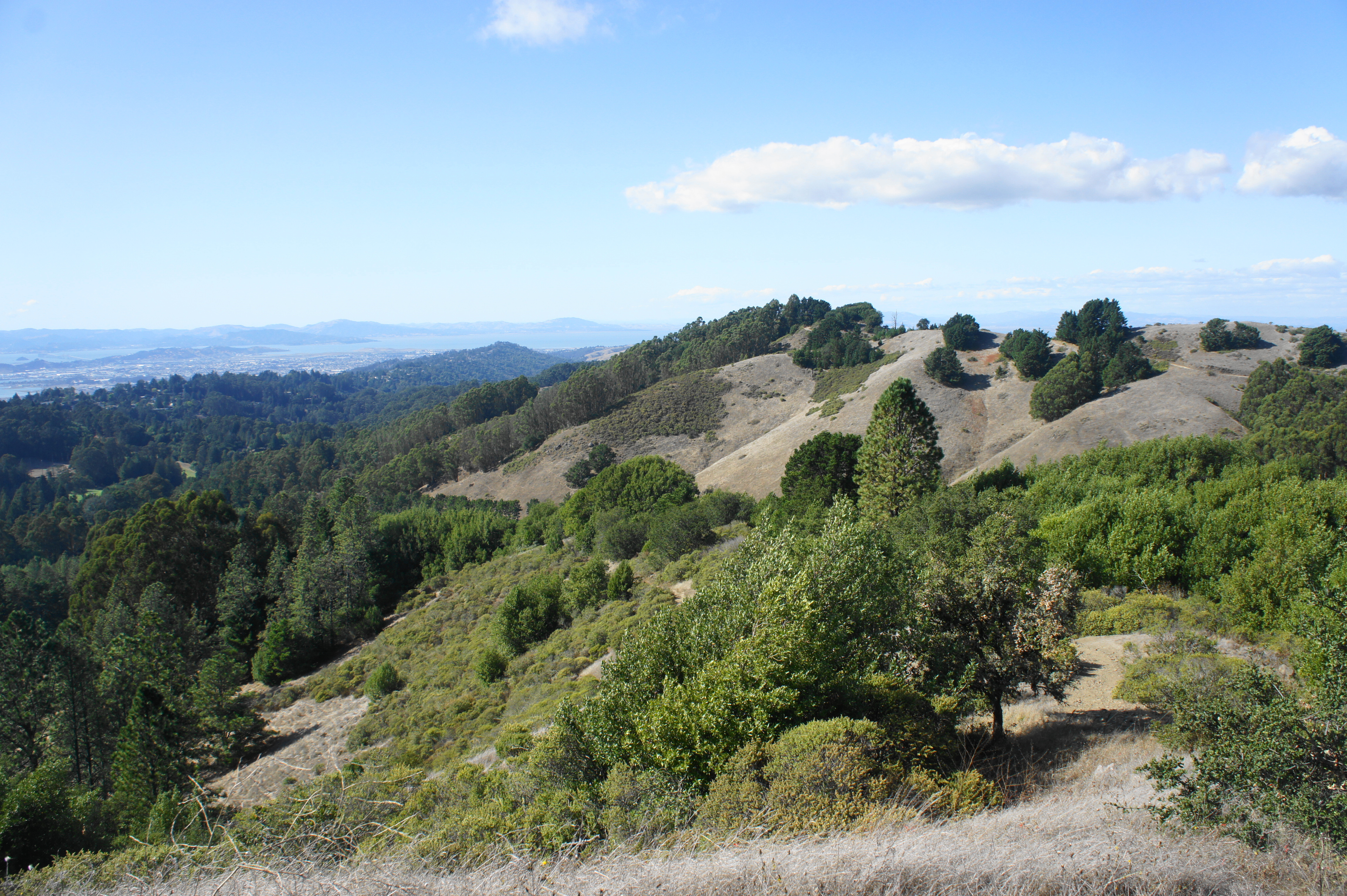
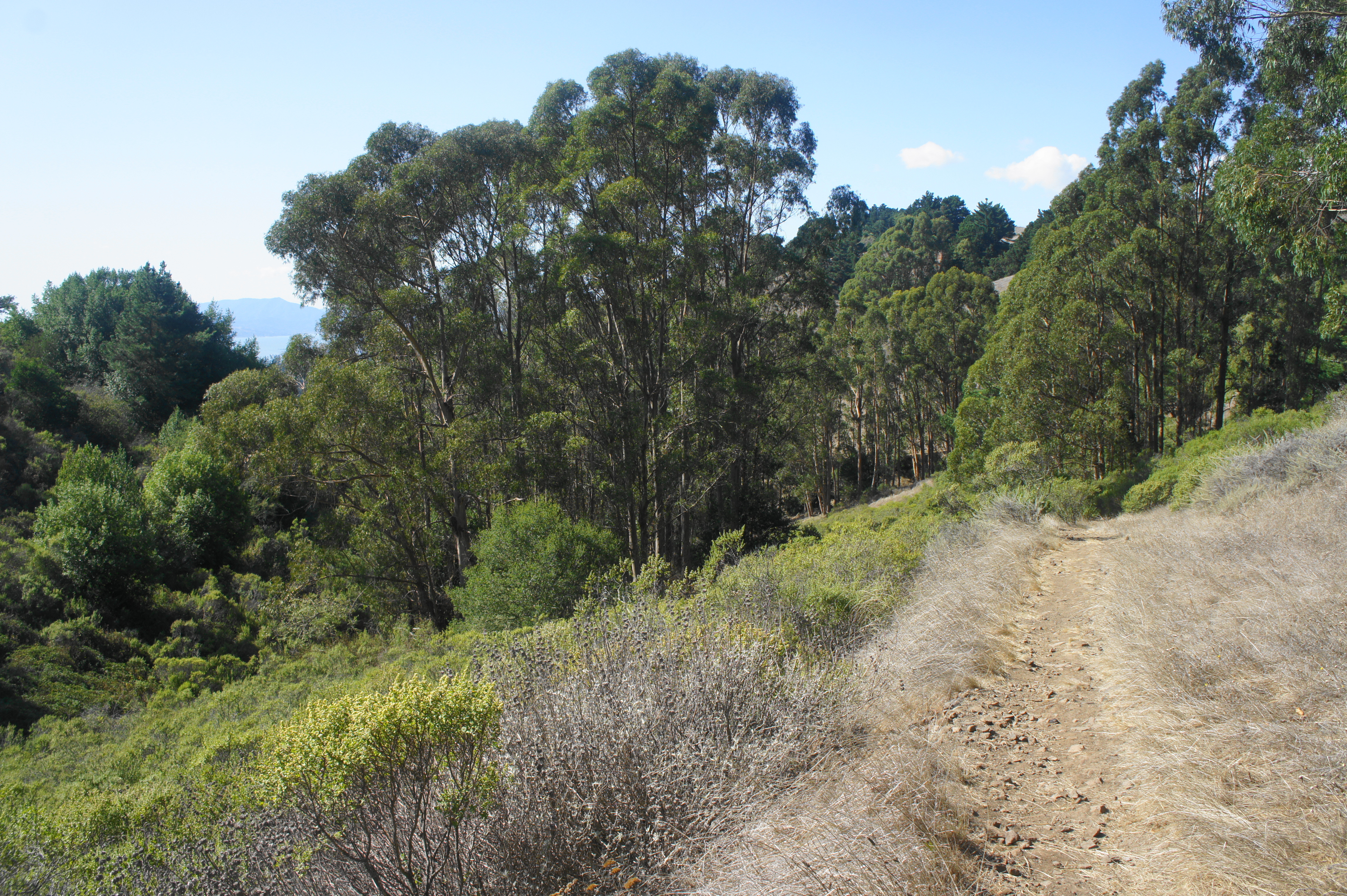
Combining the Seaview Trail with the Upper and Lower Big Springs Trails and Seaview Trail, this makes for a scenic, moderately-difficult circuit in the southern portion of Tilden Regional Park. From the Big Springs parking area, follow the Lower Big Springs Trail for one mile, rising to fine views of the San Francisco Bay, staying right at the junction with the Quarry Trail. Head right on the Seaview Trail as it climbs through thick pines to the high ridgeline. The Seaview Trail follows the high-tops for a mile, passing a series of excellent vistas of the Bay, San Pablo & Briones Reservoirs, Mount Diablo, and beyond. At 2.3 miles, turn right and descend the wide and shady Upper Big Springs Trail, returning to the start.

Southern Park Loop (7.2 mil loop)
Trailhead: Seaview (Alternatives: Brook, Golf Course Drive & Centennial Drive, Inspiration Point, Lake Anza, Owl)
Difficulty: Moderate
This grand tour of the southern half of the park is arguably the best hike on offer in all of Tilden, combining hightop views with lush canyons and a great sample of the park’s biodiversity. From the Seaview Trailhead, descend the Vollmer Peak Trail and take a hard left, crossing South Park Drive and taking the Grizzly Peak Trail as it passes below its namesake. Enjoy views across Wildcat Canyon and the golf course, then cross Golf Course Drive and continue on the Selby Trail to Shasta Road and then to near the Brazil Building. From here continue downhill to the Lake Anza Trail, passing the swimming area and dam, then descend sharply into Wildcat Gorge until the Curran Trail. Bear right and ascend out of the canyon and through a thick eucalyptus grove, then continue right at a four-way junction, crossing Wildcat Canyon Road below Inspiration Point. Climb again and follow the Seaview Trail, a scenic ridgeline hike with views of the Bay to the west and two reservoirs to the east. Follow this track until it turns to pavement, and wind your way down back to the trailhead, capping off the 7.2-mile hike.


Pingback: Hikes in Tilden Regional Park (Central) | Live and Let Hike
Pingback: Top 10 Hikes in Tilden Regional Park | Live and Let Hike
Pingback: Claremont Canyon & UC-Berkeley Hikes – Live and Let Hike
Pingback: Top 10 Hikes in 2024 – Live and Let Hike