The wilder and more rugged cousin to neighboring Tilden Regional Park, Wildcat Canyon Regional Park spans nearly 2,800 acres of the Berkeley Hills, San Pablo Ridge, and Wildcat Creek watershed in the East Bay. Whereas Tilden is woodier, Wildcat Canyon has more open, windswept pastures with wide-reaching views to the San Francisco Bay, Carquinez Strait, Briones Hills, Mount Diablo, and beyond. A rich trail network crisscrosses the landscape, with many routes ascending hundreds of feet, making them generally more challenging than those in Tilden. As is usually the case in the East Bay, hiking in the winter or spring when the hills are verdant and wildflowers in bloom is generally preferred, but Wildcat Canyon—especially the more shaded lower elevations—can be enjoyed at all times of year.
A previous post outlined access options for the park and described 12 hikes of varying difficulty. But in this blog, I identify the five best loop options, each featuring terrific vistas from varying points along San Pablo Ridge, the main geographic feature in the park. All can be described as moderate to strenuous and generally follow open fire roads with good signage.
5. Leonards – Mezue Trail Loop (Moderate; 3.1 mi. stem-and-loop; Rifle Range Road Trailhead)
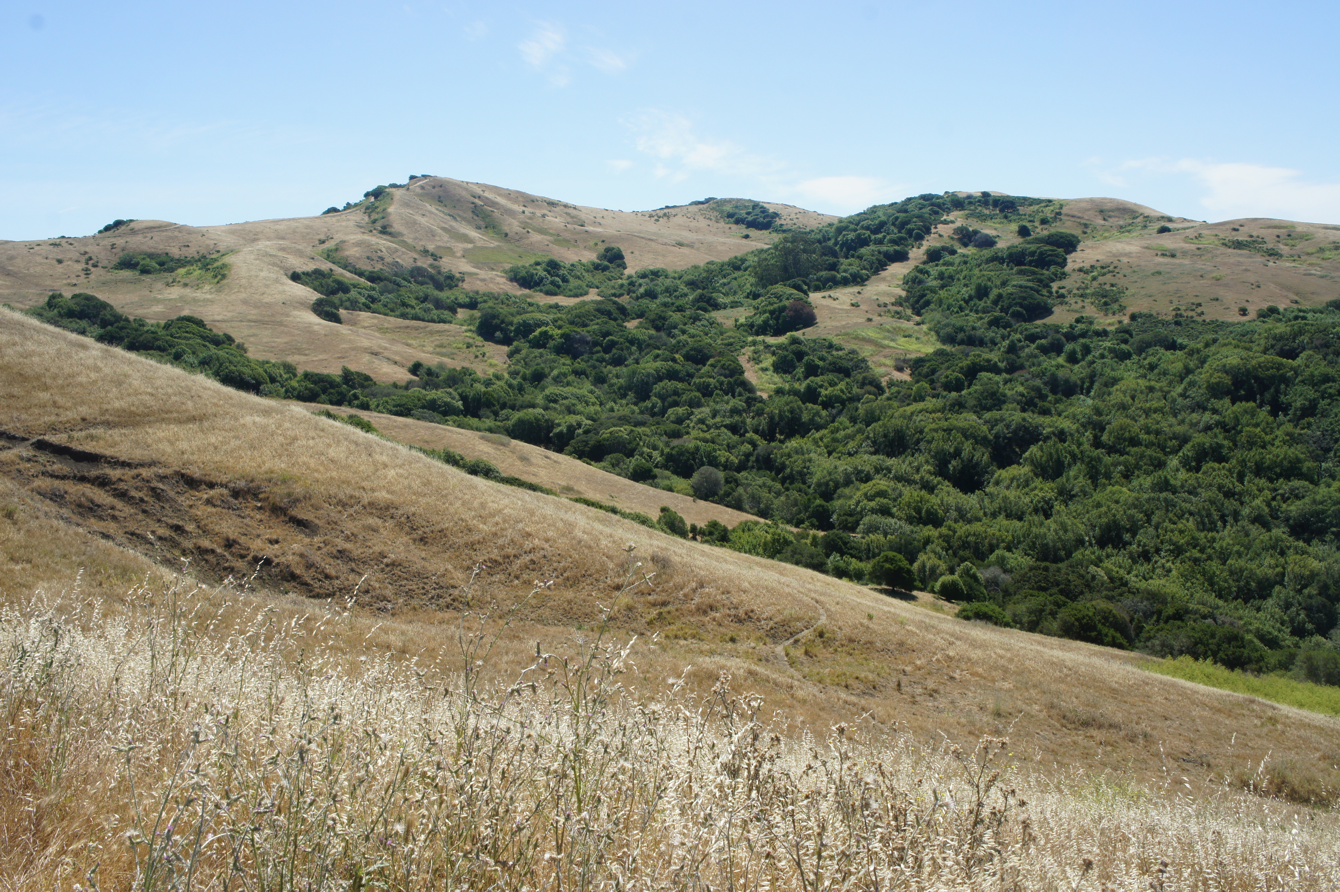
One of the shortest loop options with hilltop views, the Leonards and Mezue Trails ascend a set of ridgelines that connect to San Pablo Ridge. Access by way of the Rifle Ridge Road Trail descends to the Wildcat Creek drainage, then 500 feet in climb on the Leonards Trail gets the heart pumping, with hikers rewarded with terrific views of the Wildcat Creek watershed, Berkeley Hills, North Bay, and beyond. Descending the Mezue Trail brings one back to the creek, with a return on the Rifle Range Road capping off the 3-mile jaunt.
See my post on February 4, 2024 for a full trail description.

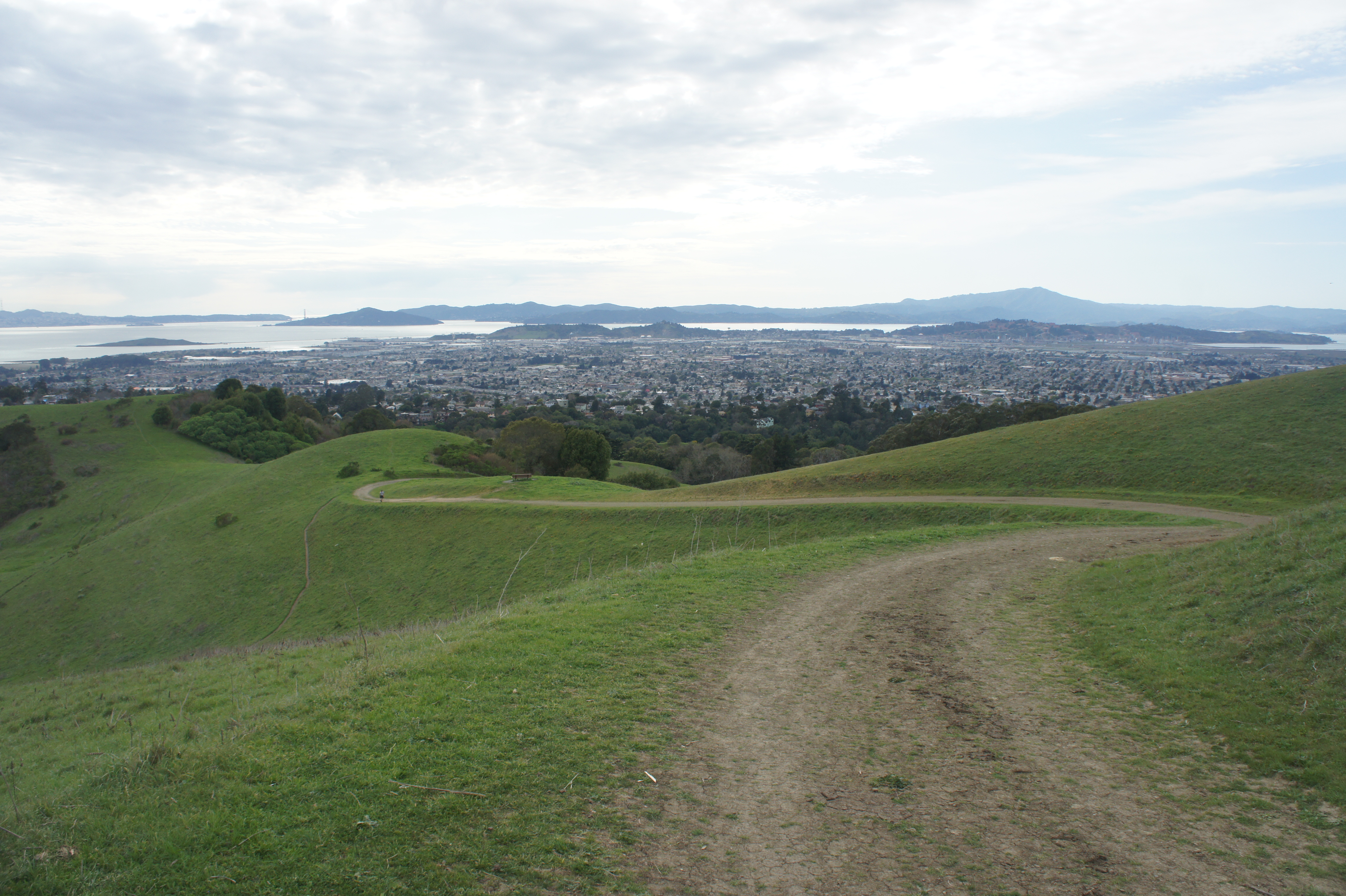
4. Havey Canyon – Nimitz Way – Leonards Trail Loop (Moderate; 4.9 mi. stem-and-loop; Rifle Range Road Trailhead)
A longer alternative to #5 above, this hike combines several trails and reaches the tip of San Pablo Ridge, where Nimitz Way offers outstanding vistas. The Havey Canyon Trail ascends rather mildly, following a tributary of Wildcat Creek, then routes southward to Nimitz Way, an old horse corral, and a former Nike Missile radar site. The descent on the Mezue and Leonards Trails is pleasant all the way down, with open views across the active cow pastures (used to trim the grass!) to the woodier Berkeley Hills. Return via the Rifle Range Road Trail.
See my post on February 4, 2024 for a full trail description.
3. Bonita – Monte Cresta – Belgum Trail Loop (Moderate; 2.5 mi. loop; Alvarado Staging Area)
The most rewarding hike under three miles, this circuit traverses a section of San Pablo Ridge that is lower in elevation but rich in views of the San Francisco Bay, Richmond, Marin, and the Carquinez Strait. The fire roads are mostly out in the open, but there is enough variety—pines, eucalyptus, and even a handful of palm trees—to entertain. Pass the remains of the Belgum Sanitarium, an early 20th century health resort to treat people with “nervous disorders,” on the way down.
See my post on February 4, 2024 for a full trail description.
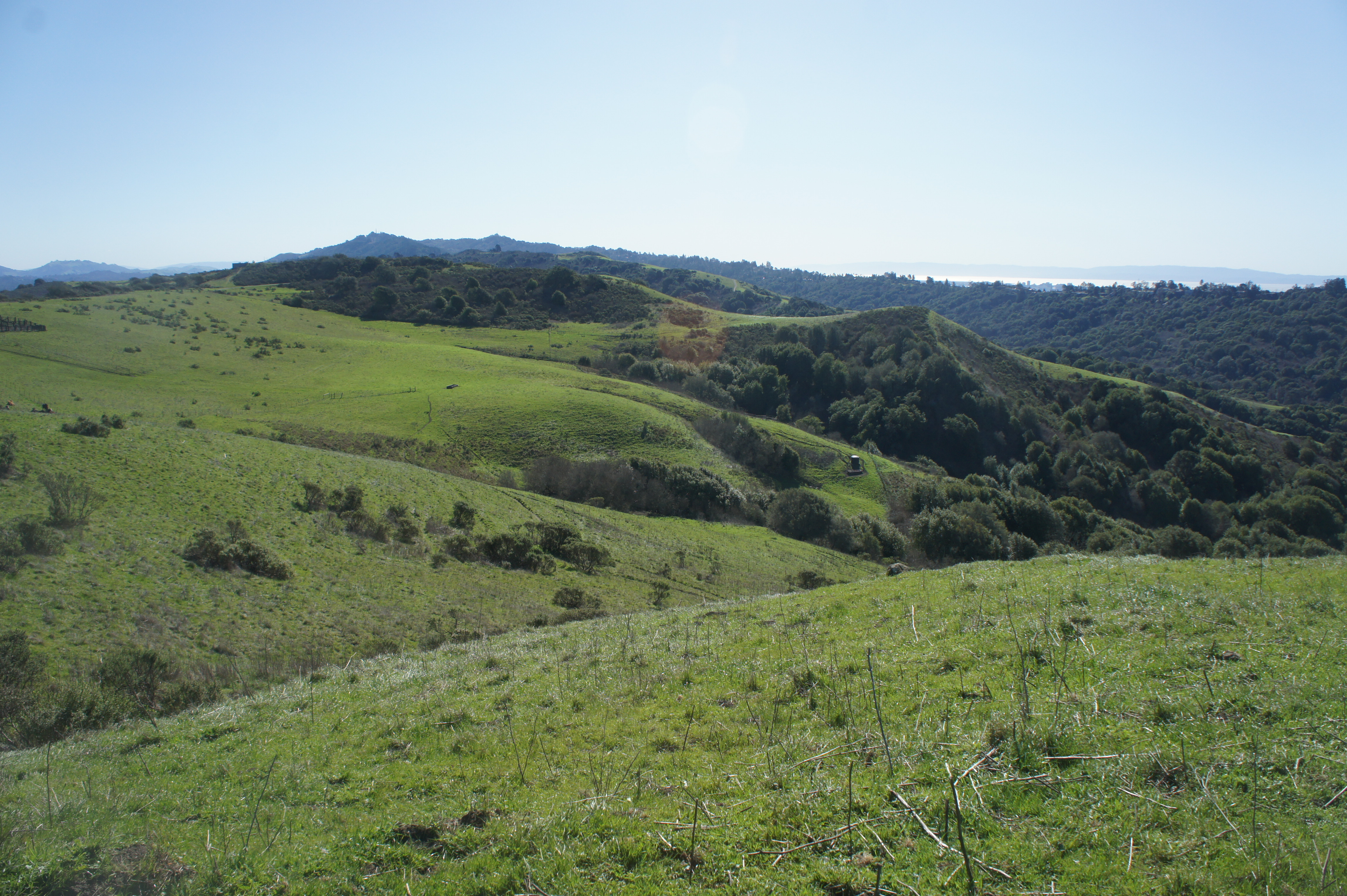
2. Conlon – Wildcat Creek Trail Loop, including Wildcat Peak (Moderate; 7.1 mi. stem-and-loop; Rifle Range Road Trailhead)
The longest trek on offer, this 7-mile circuit pushes into neighboring Tilden, summiting Wildcat Peak (1,211’), which has some of the best panoramic views in the Berkeley Hills. The Conlon Trail ascends mildly and steadily from the Wildcat Creek drainage, then connects with Nimitz Way and the Wildcat Peak Trail; the latter summits the mountain and then drops steadily to Jewel Lake in the Tilden Nature Area before finding the somewhat underwhelming Wildcat Creek Trail that tracks back to the start.
See my post on February 4, 2024 for a full trail description.

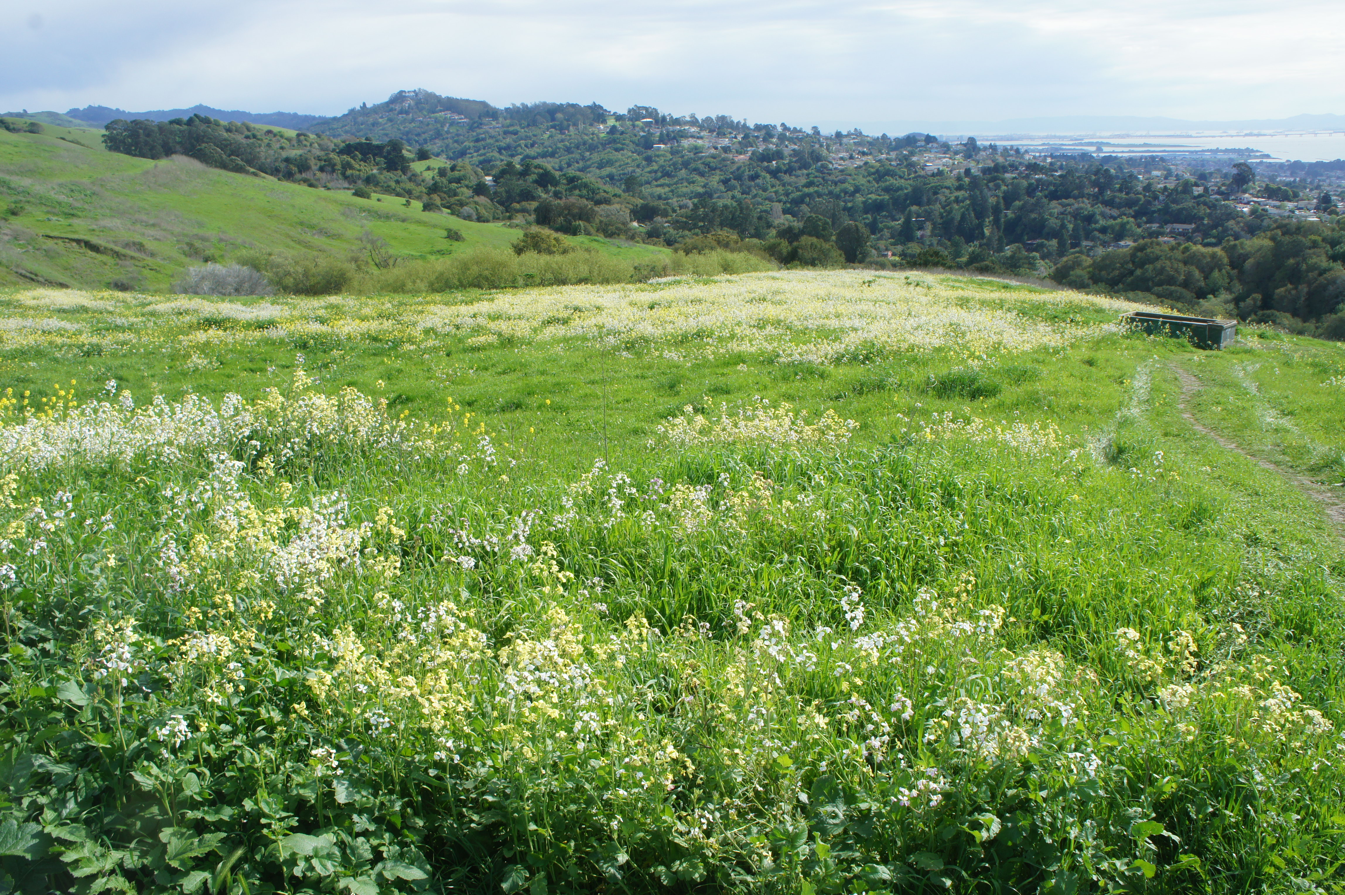
1. San Pablo Ridge – Wildcat Creek Trail Loop (Moderate; 5.7 mi. loop; Alvarado Staging Area)
This scenic circuit from Alvarado Staging Area takes the top spot for its outstanding ridgetop vistas and dramatic ascents and descents. The Belgum Trail passes the sanitarium and emerges above the bay/oak woodlands to the wild pastures, where the San Pablo Ridge Trail ascends to heights of more than 1,000 feet. Take the Mezue Trail down to the base of the ridge and follow the Wildcat Creek Trail back to the start.
See my post on February 4, 2024 for a full trail description.