
Unlabeled on most maps, rarely-visited Shinob Canyon in Capitol Reef National Park features towering monuments, truck-sized boulders, and at least three natural arches. The few visitors the gorge does receive are often technical canyoneers (they usually tackle the gorge’s Na-Gah, Timpie, or Nighthawk forks), but Shinob is a worthy destination even without ropes. There is no trail; the route simply runs through the wash bottom (where possible). Expect to spend roughly 1.5 hours round-trip if following the canyon to its end.

The hike
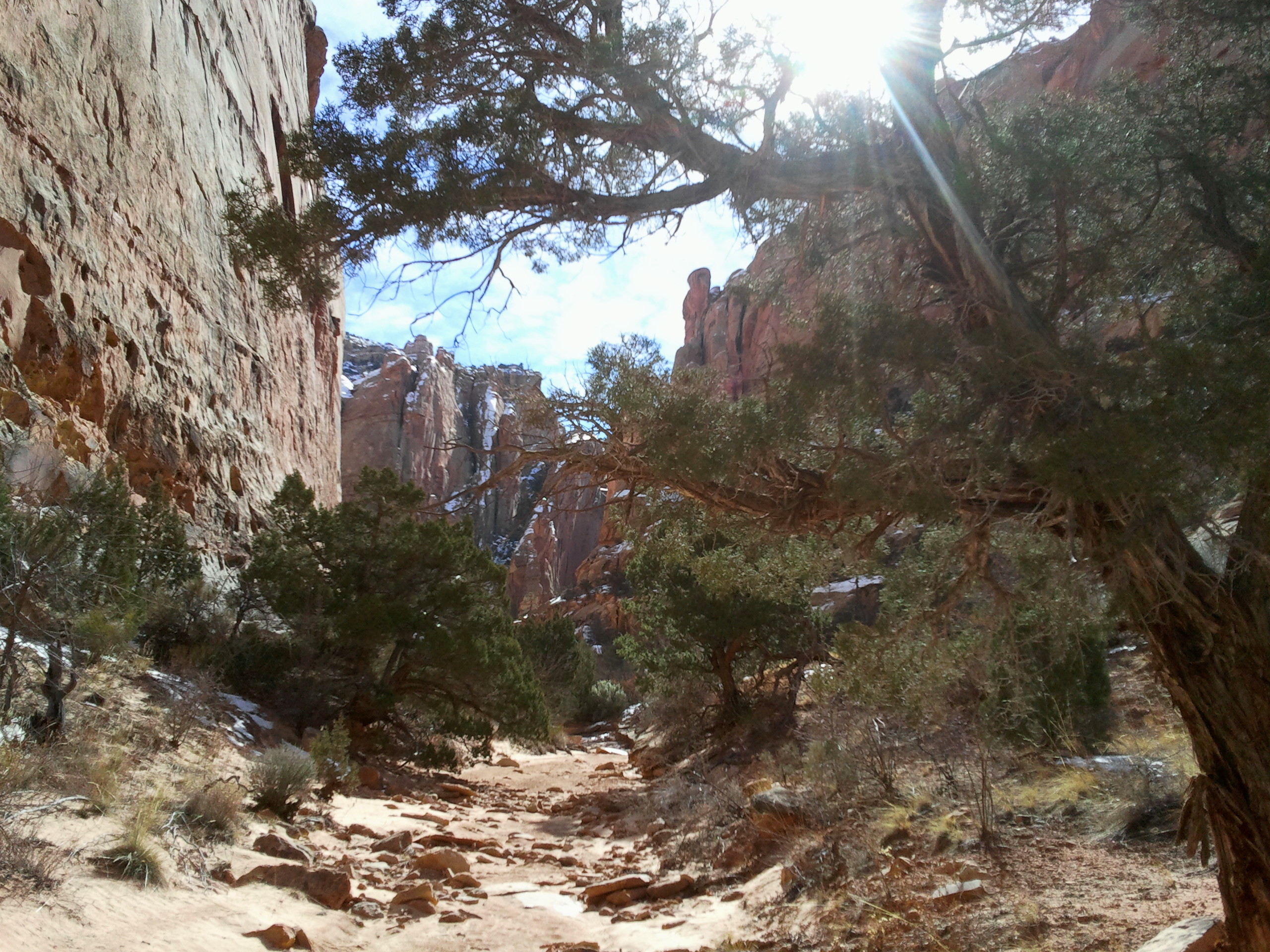
Though the dirt-packed Grand Wash Road passes right next to the entrance to Shinob Canyon, there is no real parking at this spot; continue another 0.3 mile to the road’s end and park at the Grand Wash Trailhead. (Note: This area is likely to be crowded during peak season.) Backtrack by following the road back west for about 150 yards, then walk south in the wide, dry wash bed for another 150. By now you will see Shinob Canyon straight ahead; leave Grand Wash by turning into the obvious dry wash on the left to enter the gorge.

The canyon narrows about 0.1 mile up the wash; look for the first of three significant natural arches about 200 feet up the wall on your right (some references call this “Boomerang Arch”). This arch is the smallest and hardest to spot of the bunch.

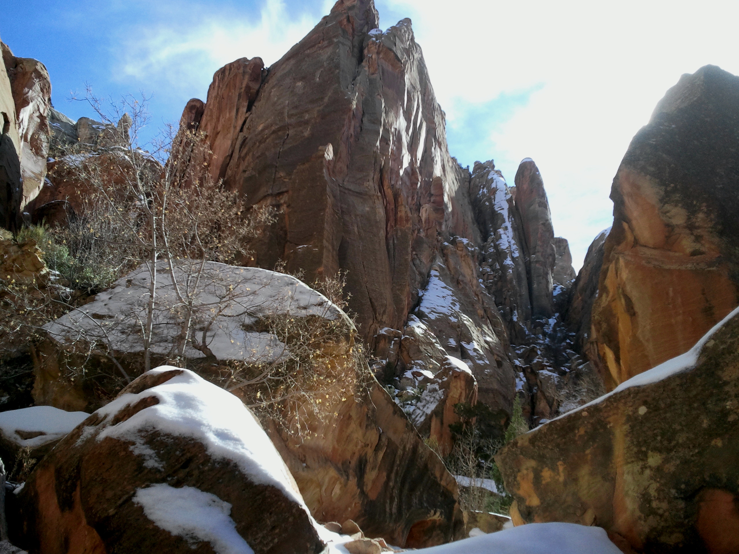
A few minutes later, the wash cuts into a broad, shady alcove on the left-hand side; the thin crack midway up the canyon wall marks the final, 155-foot rappel on the technical climb down Shinob’s Na-Gah Fork. You are now over ½ mile from the trailhead.


As you round a bend, the next landmark reveals itself along the right-hand wall: a thin but impressive natural span; according to arch hunters, this is simply called “Shinob Canyon Arch.” (Note: Be extremely careful if venturing out of the wash for a better view: the right bank is covered in fragile cryptobiotic soil; a simple footstep can destroy this habitat for tiny, living organisms for a generation.)

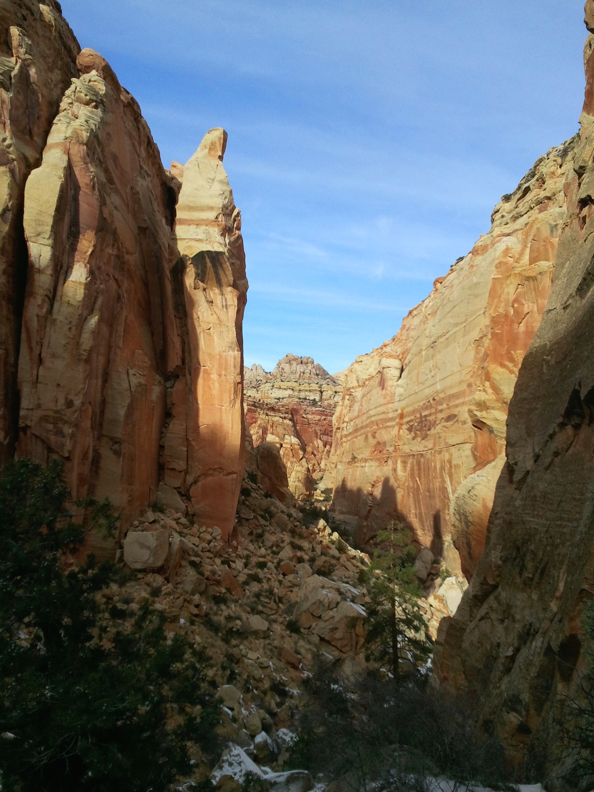
Beyond the arch, the rocky wash continues straight ahead, running into the first boulder jam about 0.8 mile from the trailhead. This is easily surmounted or bypassed.
Shortly after, the Timpie Fork of Shinob Canyon veers off to the left; to see the third and final arch—Spirit Arch (a.k.a. Etta Place Arch)—turn left here and follow the wash bottom 100 yards to the base of a 50-foot cliff (canyoneers usually down climb or rappel it). Up canyon, look for a small ray of light shining through a hole in a thick fin—this is Spirit Arch. (There is also, about 1/3 of the way up the wall on the left, a very small arch that was likely formed when the sheet of rock below it collapsed.) Turn around the way you came to return to Shinob Canyon proper.

Continuing up canyon, a series of large boulder piles obstruct progress, forcing hikers to either attempt to climb over them or bypass the rock jams by ascending the talus slope to the left. There is a faint use trail (no cairns) amid Mormon tea and roundleaf buffaloberry leading up the slope, eventually topping out at the base of a tall sandstone cliff. Thin cracks in the wall suggest that this part of the canyon erodes in huge sheets: the remnants of past rock falls litter the slope and wash bottom below.

Around ¼ mile past the Timpie junction, the inspiring gorge ends at an extremely high pouroff. This is the end of the road. Look back down canyon: an impressive spire that sort of resembles a priest or a nun dominates the landscape. This monument is one of the most interesting features of the hike.
After taking in the vertical views, return the way you came—hugging the eastern wall before dropping back down near Timpie or trying your luck at the canyon bottom. Allot about 1.5-2 hours for the complete hike; less if you turn around at Spirit Arch.
