Situated in Rock Creek Park’s wild northern section, the Pine-Holly Loop traces a 1.5-mile circuit in the woody pocket between the creek and 16th Street in Washington, DC. Although the scenery is modest, this short hike is easily accessed by city dwellers, beginning and ending at 16th and Holly, located on the well-trafficked bus line between downtown and Silver Spring, Maryland.


The hike
Taking the S4 or D31 bus up 16th Street from downtown DC, get off at the 16th and Geranium Street stop and walk one block north to Holly Street. Crossing 16th to the west side, look for a wooden sign marking the trailhead.
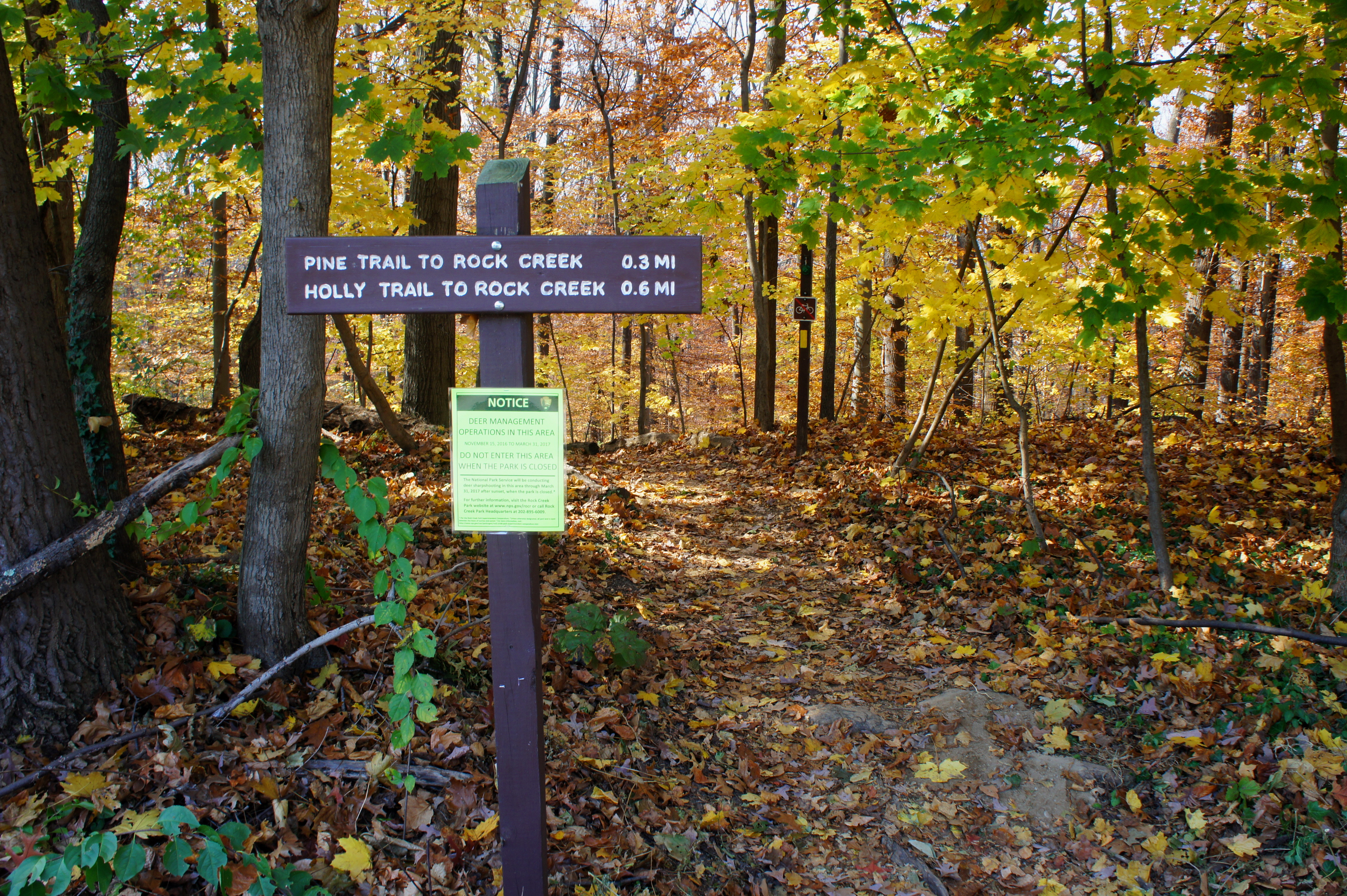
Immediately entering Rock Creek Park, take a right at the first junction, following the Pine Trail as it descends into the stream valley. (Note: Many maps—like this one, which I have corrected—mistakenly switch the Pine and Holly Trails; it is in fact Pine to the right, Holly to the left.) The wide path traces a woody ridgeline westward and merges with the Valley Trail at ¼ mile (stay left), then approaches a rocky outcrop on the right, which offers elevated views of gently-flowing Rock Creek below.

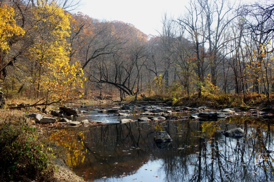
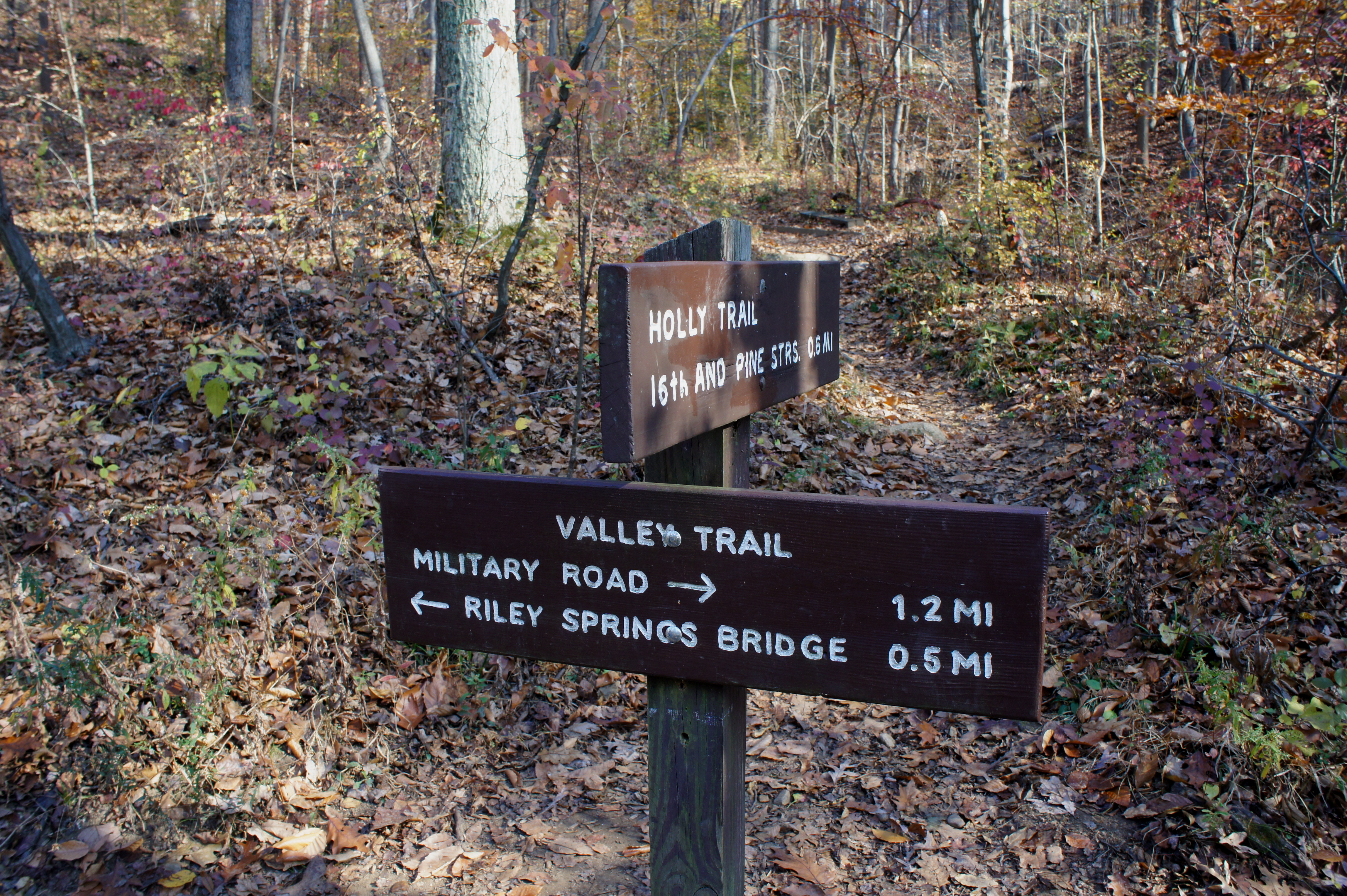
Beyond, the trail bends southward and flattens out as it reaches the floor of the valley. Turn left at the 4-way junction at 4/10 mile, continuing on the aqua-blazed Valley Trail. The narrow singletrack crosses a boardwalk at ½ mile and then skirts the banks of Rock Creek 200 yards later.


Living up to its name, Rock Creek is littered with boulders, mostly gray granite and gneiss. Across the creek is Picnic Grove 10, a large parking area, and Beach Drive, a (perhaps unpleasant) reminder that you are, still, in the heart of a major metropolis. Follow the track southward until 9/10 mile, when the path splits again. Take a left on the Holly Trail, leaving the stream behind.
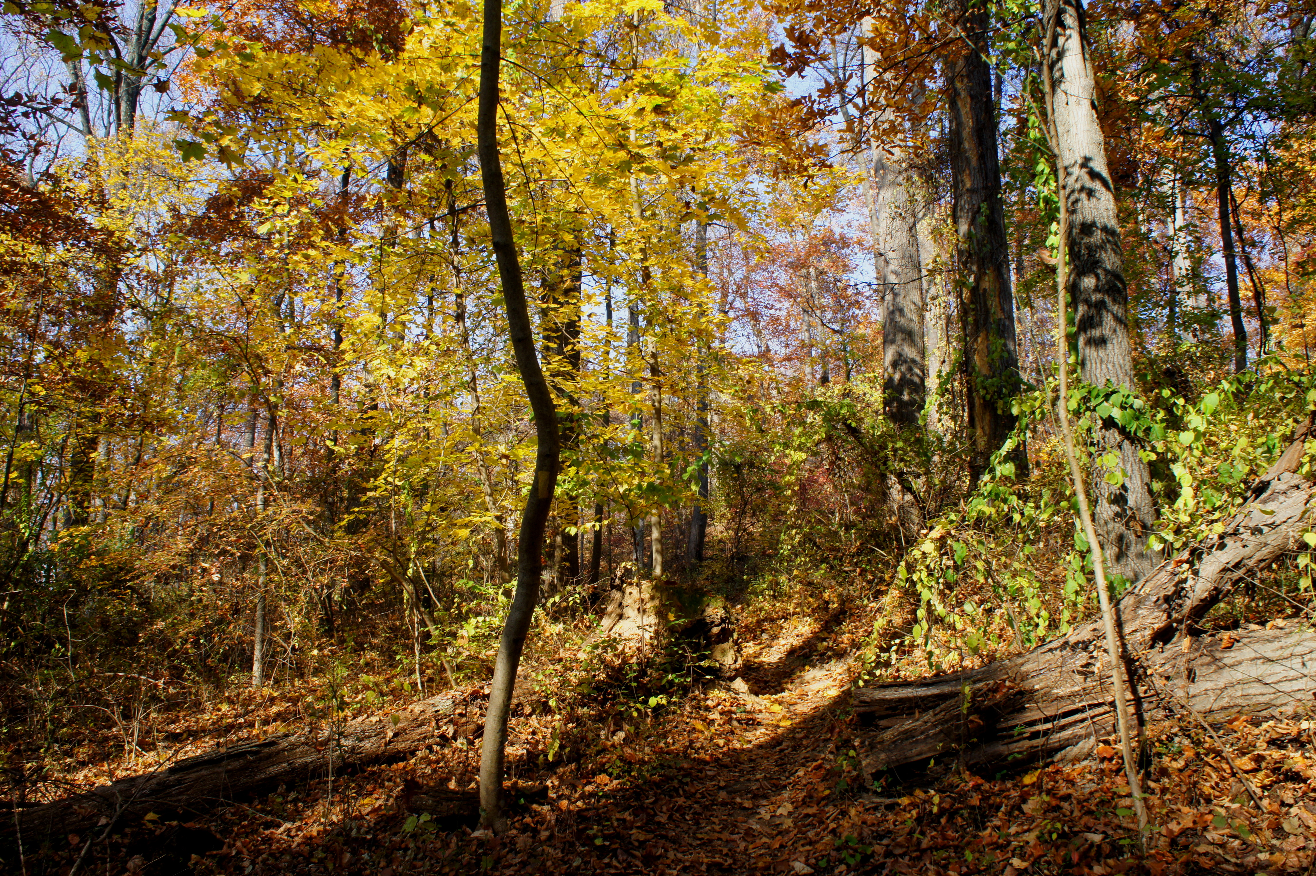
The Holly Trail begins by hugging the flank of a minor ravine, then follows the left fork as the dry streambed divides in two. The steepest climb of the hike, this leg gains nearly 150 feet in 2/10 mile before leveling out as hikers bear north on a winding path back toward the trailhead. Dipping in and out of minor pitches, the yellow-blazed trail comes within earshot of the road, then loops back to the original trail fork at 1.4 miles. Bearing right, the Pine-Holly Loop reaches it coda, reemerging at 16th and Holly, ending the brief respite from the city buzz.
Allot around 45 minutes to an hour for this leisurely hike.
