
Piscataway Park in southwest Maryland features a mix of riparian forests, grasslands, and marshes within an hour’s drive of Washington, DC. While most visitors will flock to the National Colonial Farm (which itself boasts several hiking trails), the Accokeek Creek area offers a more natural experience, with ample opportunities to spot birds—eagles, herons, and ospreys among them. A short, 2-mile out-and-back hike covers the length of a scenic boardwalk over the tidal marsh, as well as an easy stroll around Mockley Point, situated at the confluence of Piscataway Creek and the Potomac River.


The hike
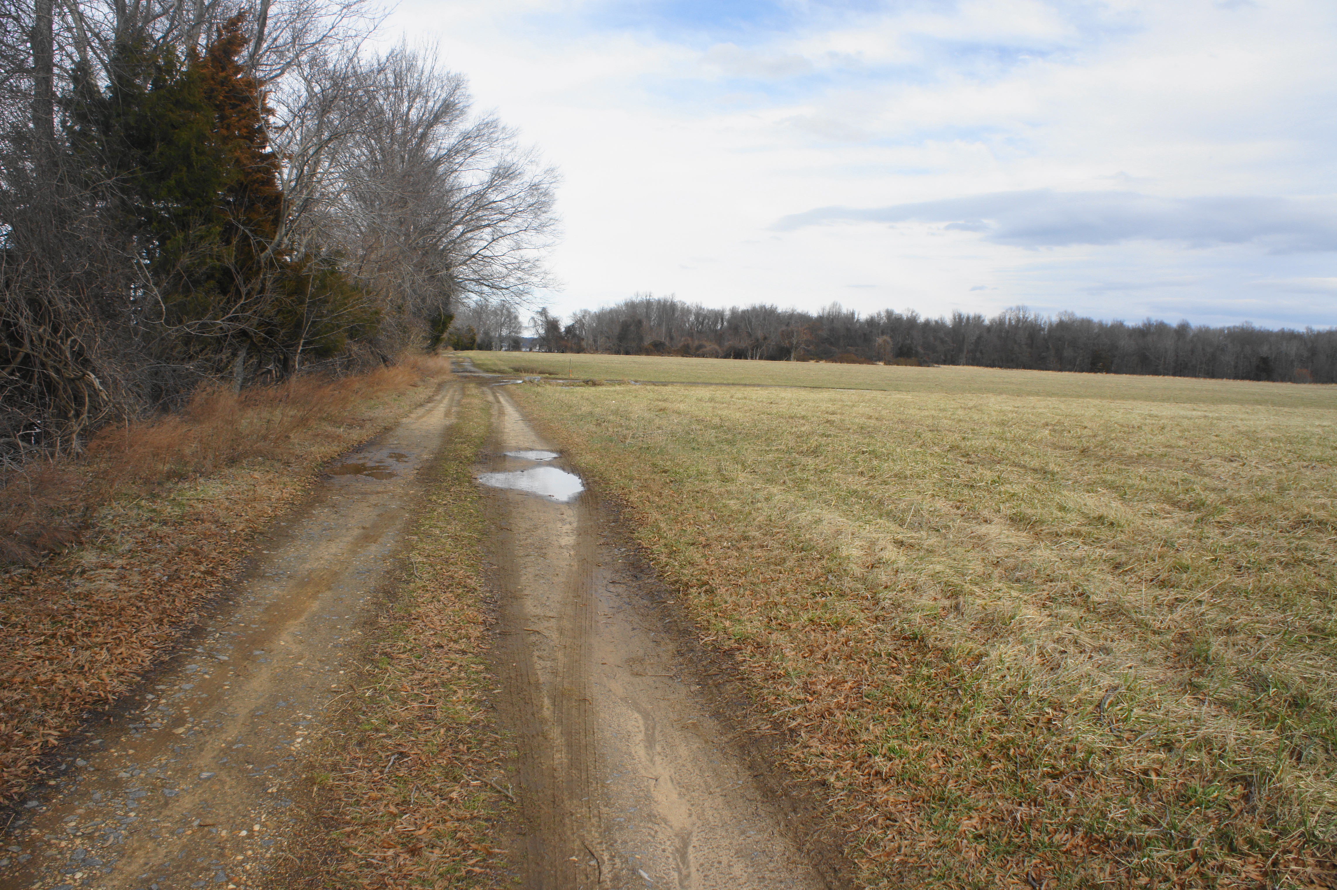
To reach the trail, pull into the Accokeek Creek parking area in Piscataway Park, situated off Bryan Point Road about ½ mile before the entrance to National Colonial Farm. In winter, visitors will have to park here and walk ¼ mile down the gravel road to the start of the hike. From spring to fall, however, the gate is likely to be open, allowing for passage straight to the parking area at the Accokeek Creek Trailhead.
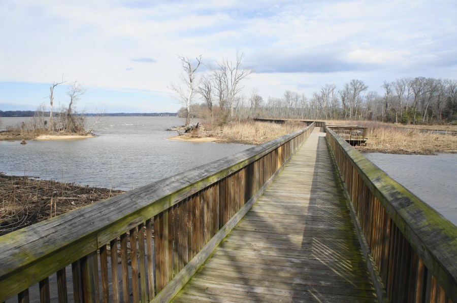
The walk begins just beyond this second parking area, bearing to the left of the interpretive panel at the trailhead. The partly asphalted path quickly gives way to dirt, but it remains smooth and wheelchair-accessible. Follow this route through a clearing for 75-100 yards, after which the path bends sharply left and the Marsh Boardwalk comes into view. Bear right on the wooden walkway, following it for the next ¼ mile.

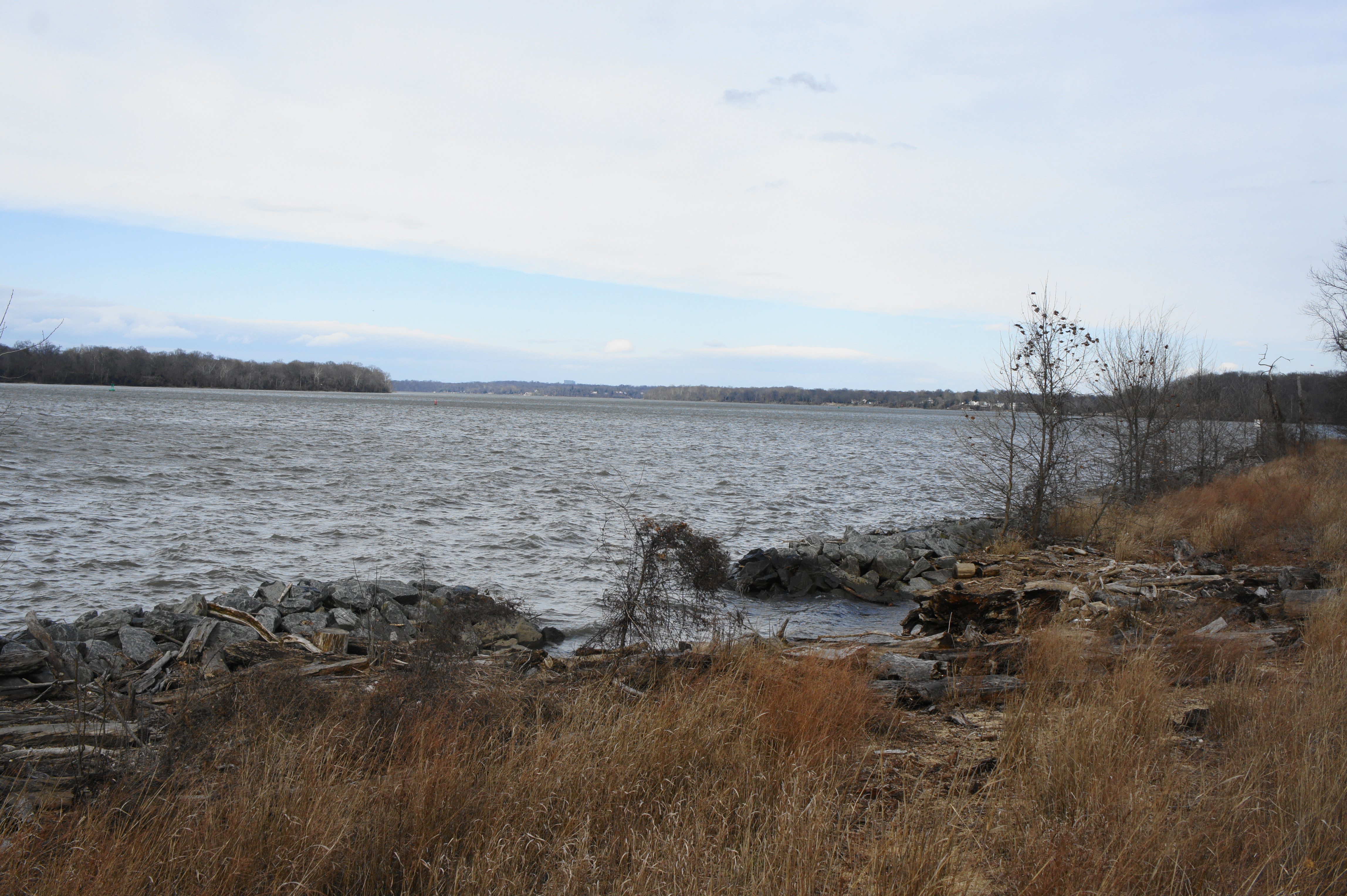
The boardwalk begins by traversing Accokeek Creek, a tidal tributary of the Potomac River. The wider Potomac is visible to the left, with the mouth of Accokeek protected in part by a vegetated spit. Further down the boardwalk, as it passes over reed-filled marsh, interpretive panels on the left tell the story of man-assisted preservation: in 2010, local naturalists developed a “living shoreline”—complete with rock sills and pocket beaches—to help protect the marsh. The result is a more sustainable habitat for birds, fish, and land animals who depend on the swamp for survival. Whether the sills and beaches are visible depends on the tides—these moon-driven forces also control whether Accokeek Creek is full of water or reduced to a largely mud-choked drainage.
Continue along the boardwalk as it reaches a junction at about the ¼-mile mark. Stay straight at the fork, bearing northeast. (Note: The right fork leads back to land, where a faint trail connects back to Bryan Point Road.) Within a minute, the boardwalk comes to an end, giving way to an open field that is firmly onshore. There are picnic tables scattered across the grass.

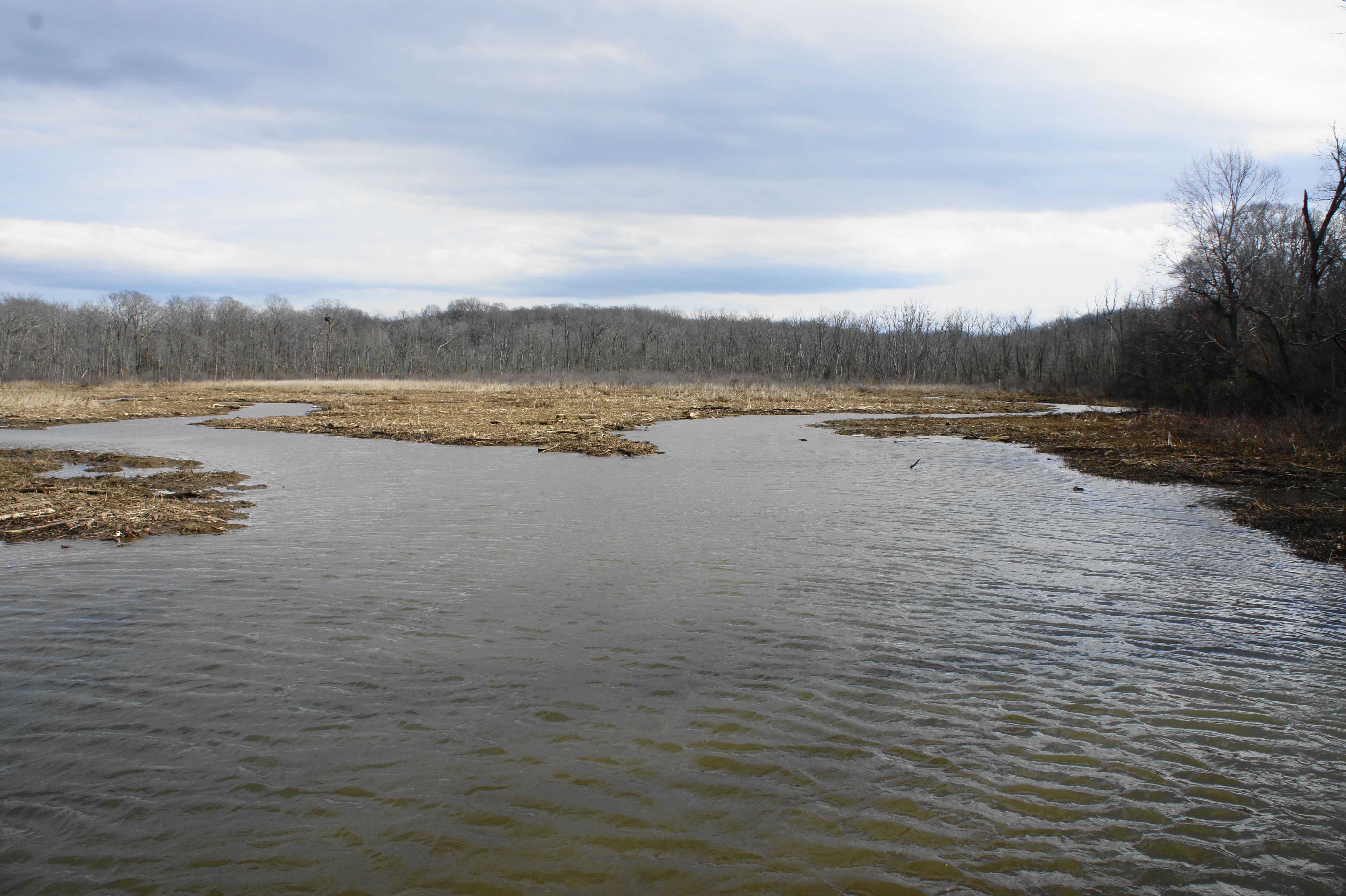
Some may elect to turn around here, but it is possible to continue onward, following the well-worn dirt road as it parallels the Potomac. The rutted track passes a monument (and grave) for Chief Turkey Tayac of the Piscataway Indian Nation. This area was the approximate location of the Accokeek Creek site, a large settlement for the Piscataway Indians that may have existed at the time of Captain John Smith’s expedition to the area in 1608. Today the area is still used by remaining members of the Piscataway Indian Nation.
Beyond the gravesite, the road continues straight for around 4/10 mile in the open sun, with occasional peeks at the Potomac through gaps in the trees on the left. (Note: Stay left at the junction; heading right leads to the Hard Bargain Farm.) At about 2/3 mile, the track bends to the right and reenters the woods.
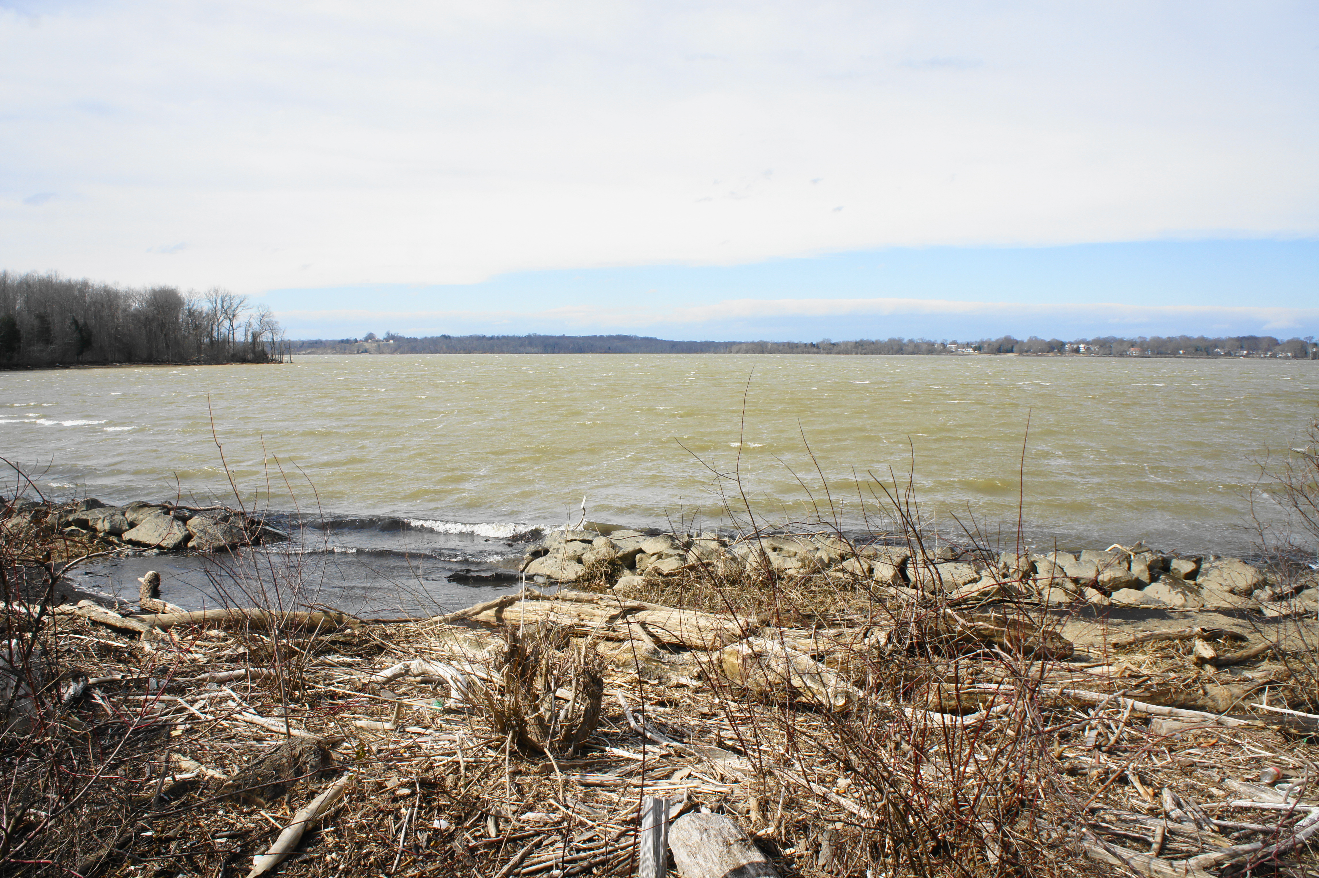
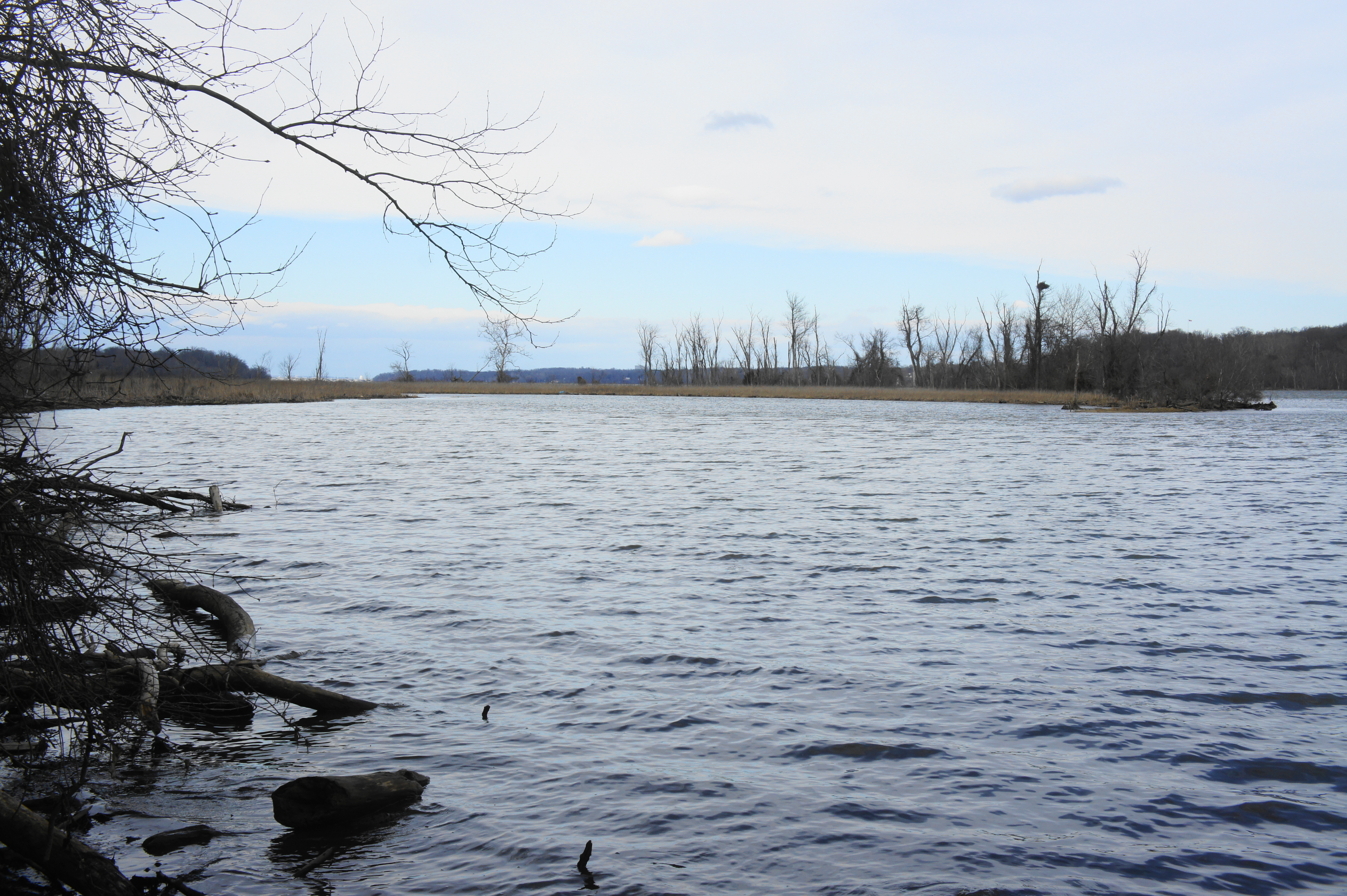
In winter, when foliage is limited, one can make out Mockley Point—a haven for riverine birds—on the left, but there is no trail access to the end of the small peninsula. Hikers can also spot the Fort Washington Lighthouse, situated across Piscataway Creek inside Fort Washington Park. (Note: See here and here for more on historic Fort Washington.)
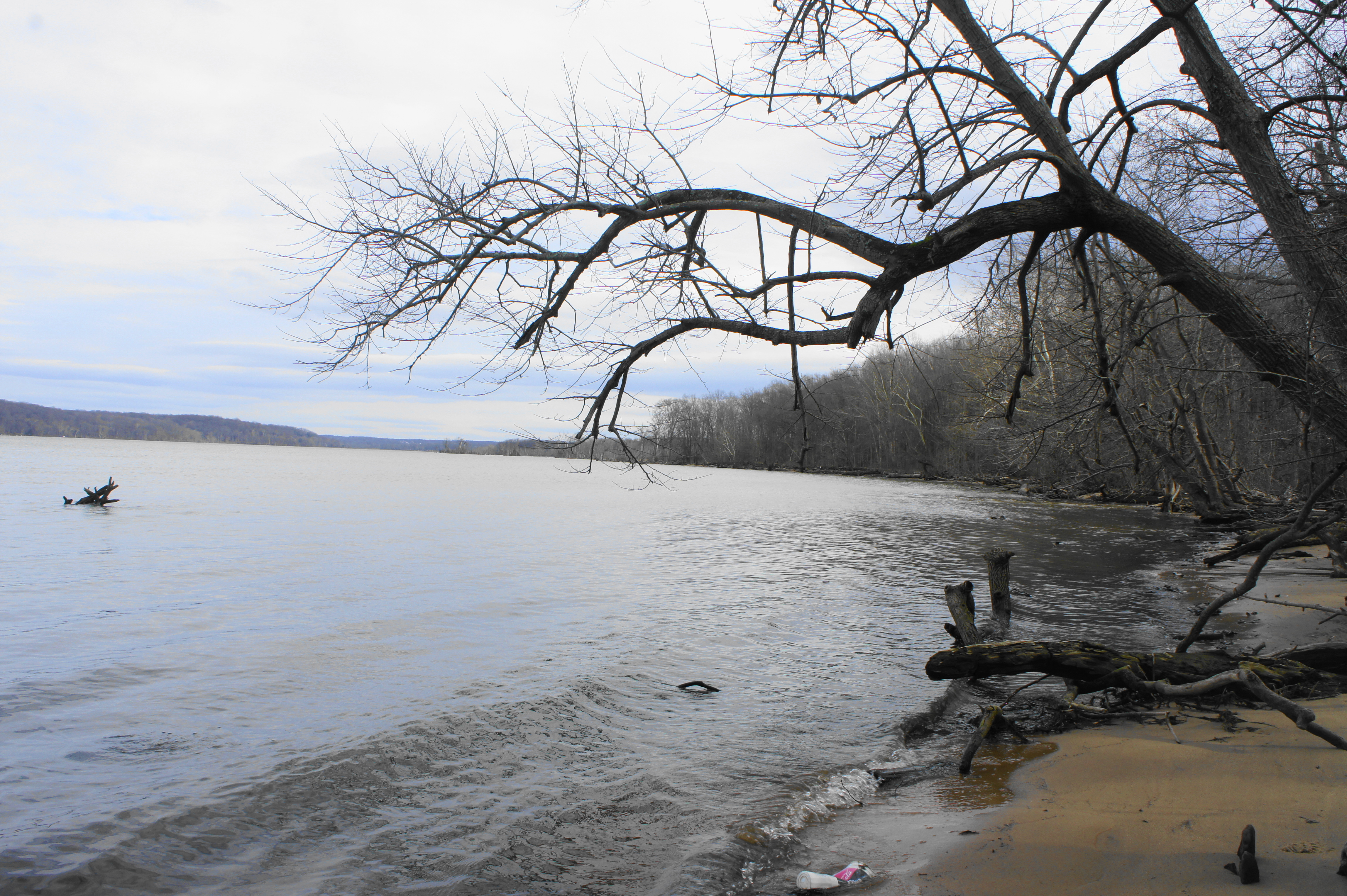
As the road bends east and then south, it runs away from the Potomac, but views of Piscataway Creek improve. Compared to the often-windswept Potomac, this lovely waterway is relatively still and peaceful. At about 1.05 miles, the road comes to and end at an anticlimactic cul-de-sac, but spurs off to the left offer access to small beaches along the creek.

Stop for a snack at this peaceful hideaway, then return the way you came. Expect to take around 1-1.5 hours for the easy, out-and-back hike.
Extra credit
Consider also visiting the National Colonial Farm to complete the 2.4-mile Accokeek Farm Loop, or head north to Fort Washington for the scenic Fort Washington Loop.
