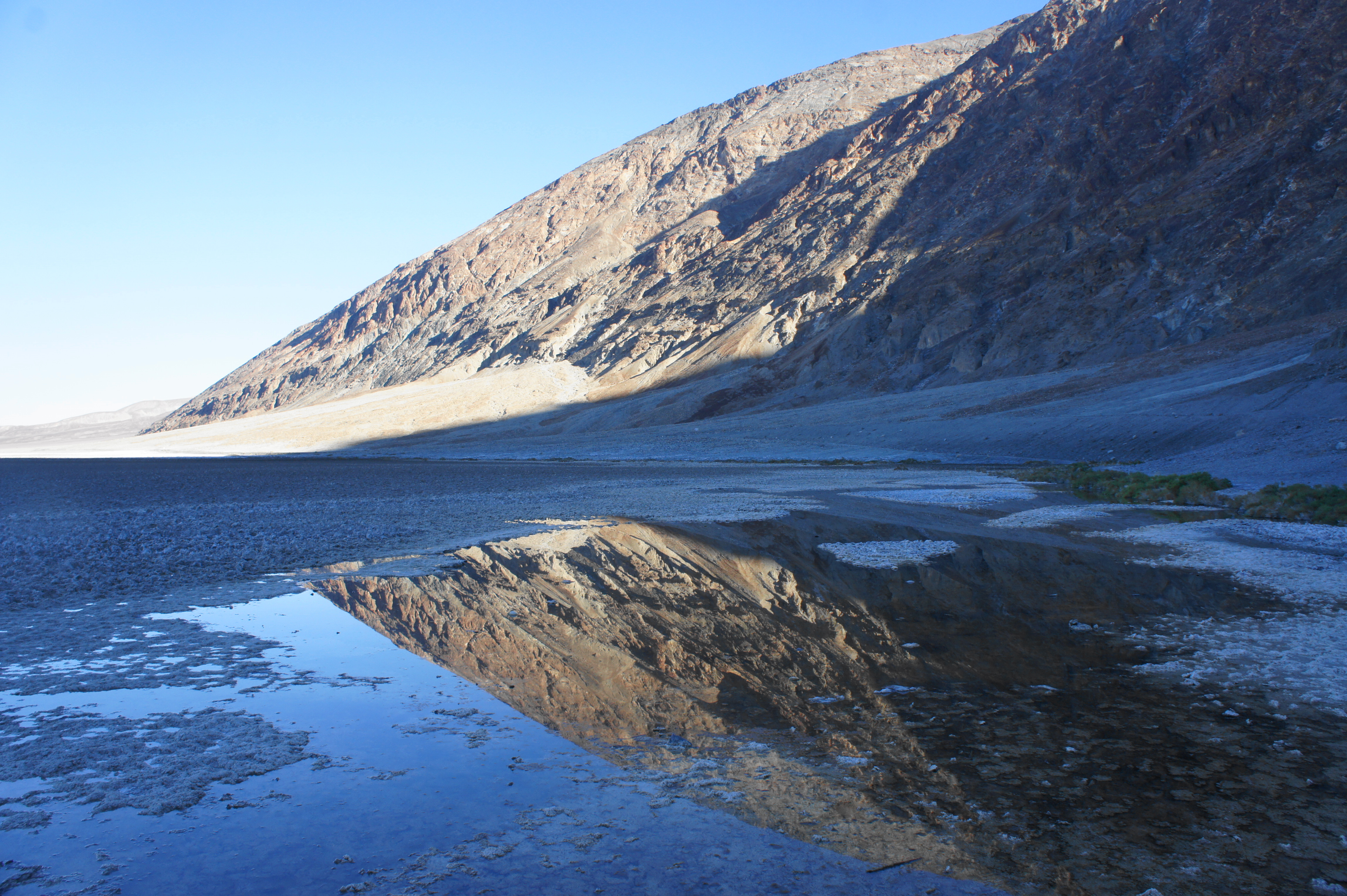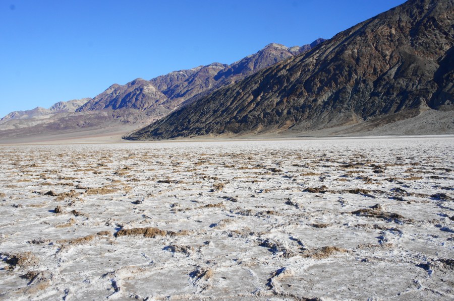
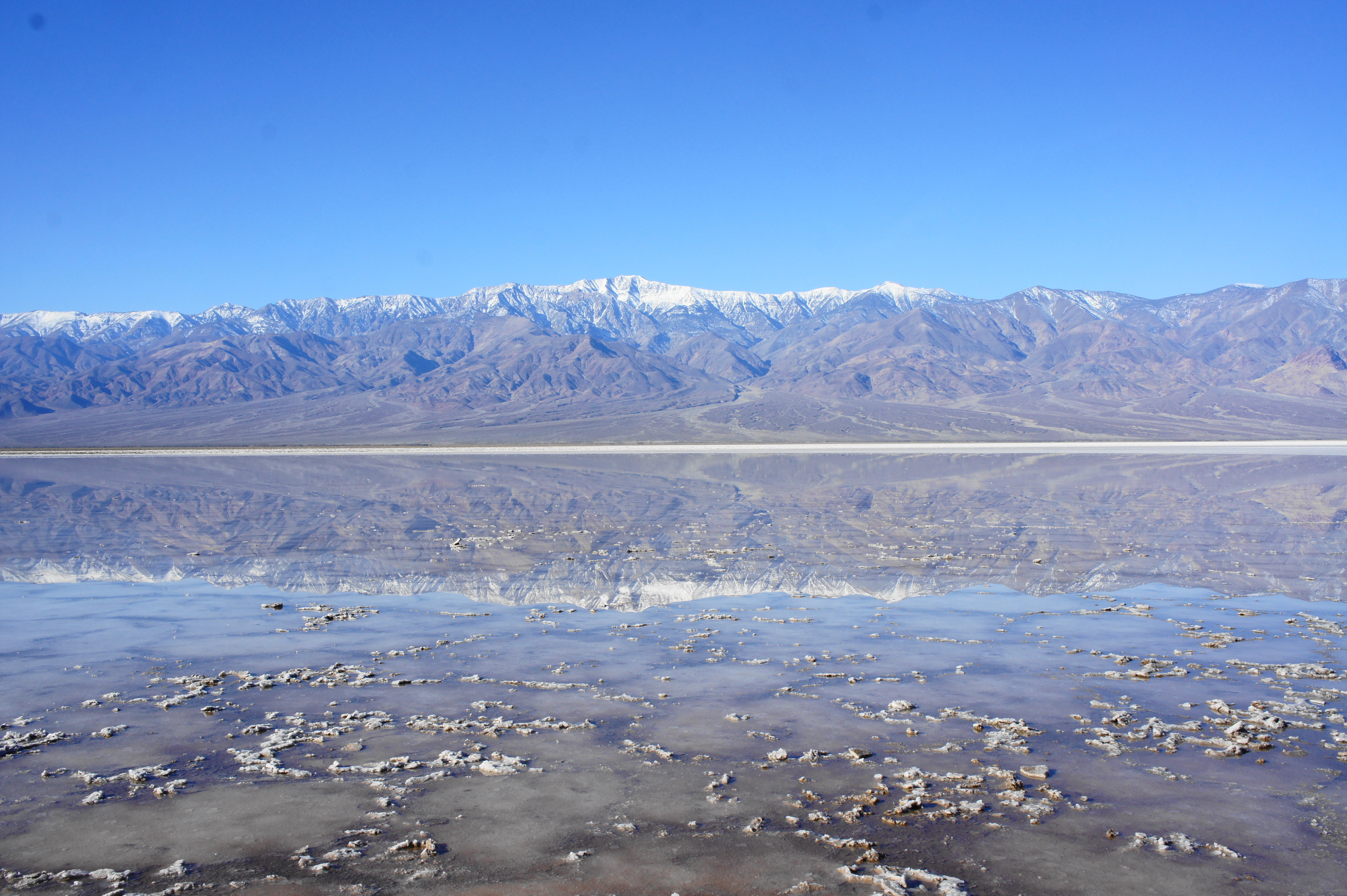
At 282 feet below sea level, Badwater Basin is the lowest point in North America and a main draw for visitors to California’s Death Valley National Park. Situated 18 miles south of the Furnace Creek Visitor Center, visitors can walk out across the salt flats and, near the start, observe the hyper-saline, spring-fed pools that gave the area its name: “bad water,” as in, even the horses of the original pioneers who explored and settled this area would not drink it. The salt crystals at the basin grow quickly, forming a thin crust over a basin of mud; after recent rains, the vast salt pan fills partly with water, forming an intermittent lake that is dry for much of the year. Visitors can walk the half-mile out to the edge of the salt flats, then explore the flat and sunny valley. The actual low-point is difficult to pin down, as it varies depending on season and the changing topography of the muddy expanse.