
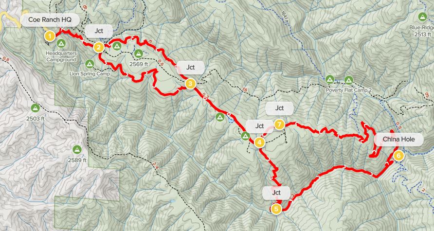
The second-largest state park in California, Henry Coe State Park spans 87,000 acres of rolling hillsides and stream valleys in the central Diablo Range. Most visitors stick to the “Western Zone,” accessed from the Coe Ranch Headquarters and Campground on Pine Ridge. A number of full-day hikes start and end here, including the 10.6-mile Middle Ridge – Manzanita Point Loop, as well as this slightly shorter and easier circuit leading down Soda Springs Canyon to China Hole, a popular swimming hole. As with many hikes in the park, there are longer and shorter variants—but this version covers 9.6 miles, prioritizing single-track over the usually wider and duller fire roads wherever possible. (Note: Springtime is the best time to hike in Henry Coe, when the temperatures are mild, wildflowers are in bloom, hillsides are verdant, and streams are flowing.)
The hike
Examining a map of California’s Henry Coe State Park, it appears at first glance to show a network of roads crisscrossing the vast landscape. These are indeed roads, but they are rugged fire tracks inaccessible by car. The constellation of dirt fire roads combines with the park’s many single-tracks to form a complex web of hiking trails. Access to the park is limited to three entrances/parking area: Coe Ranch, Hunting Hollow, and Dowdy. Coe Ranch Headquarters is by far the most popular and includes a quaint visitor center, small store, and decent campground.
The drive to Coe Ranch is itself an adventure, rising more than 2,000 feet from the town of Morgan Hill in Santa Clara Valley. (Note: Take Exit 366 from Highway 101.) Thus the trailhead is already at around 2,600 feet, with expansive views across part of the Diablo Range from the start. Park in one of the many small lots around the Visitor Center.
Coe Ranch Headquarters to Manzanita Point Group Camps (2.6 miles)
From the Visitor Center, bear east across the entry road, then pass through the fence at the start of the Corral Trail, the main track leading into the interior of Henry Coe. This lovely single-track dips to cross a short bridge, then bears eastward, skirting a handful of additional ravines before coming to a trail junction at about 6/10 mile.
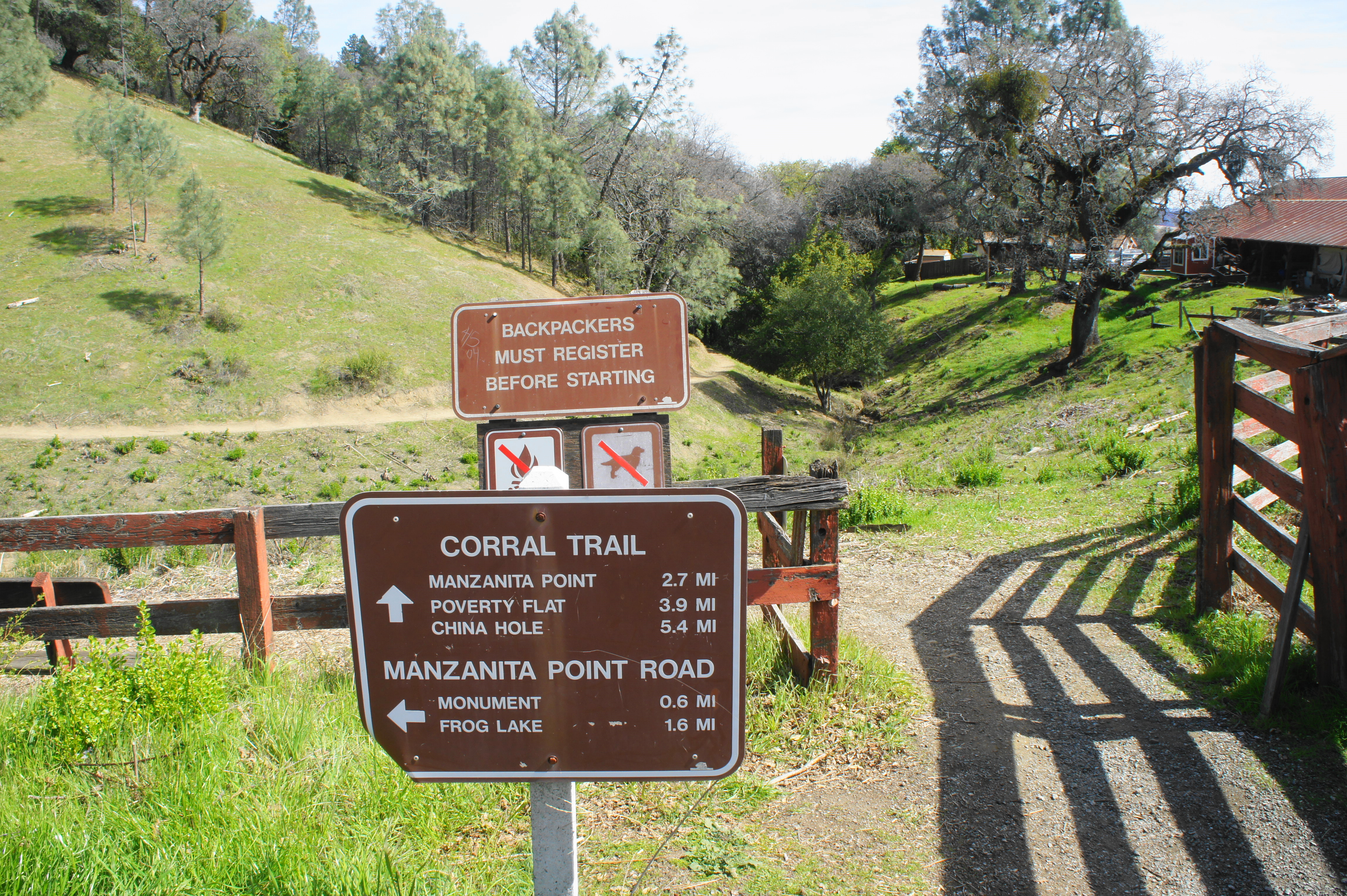
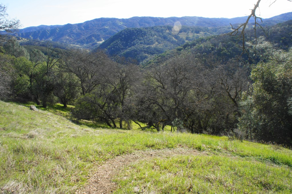
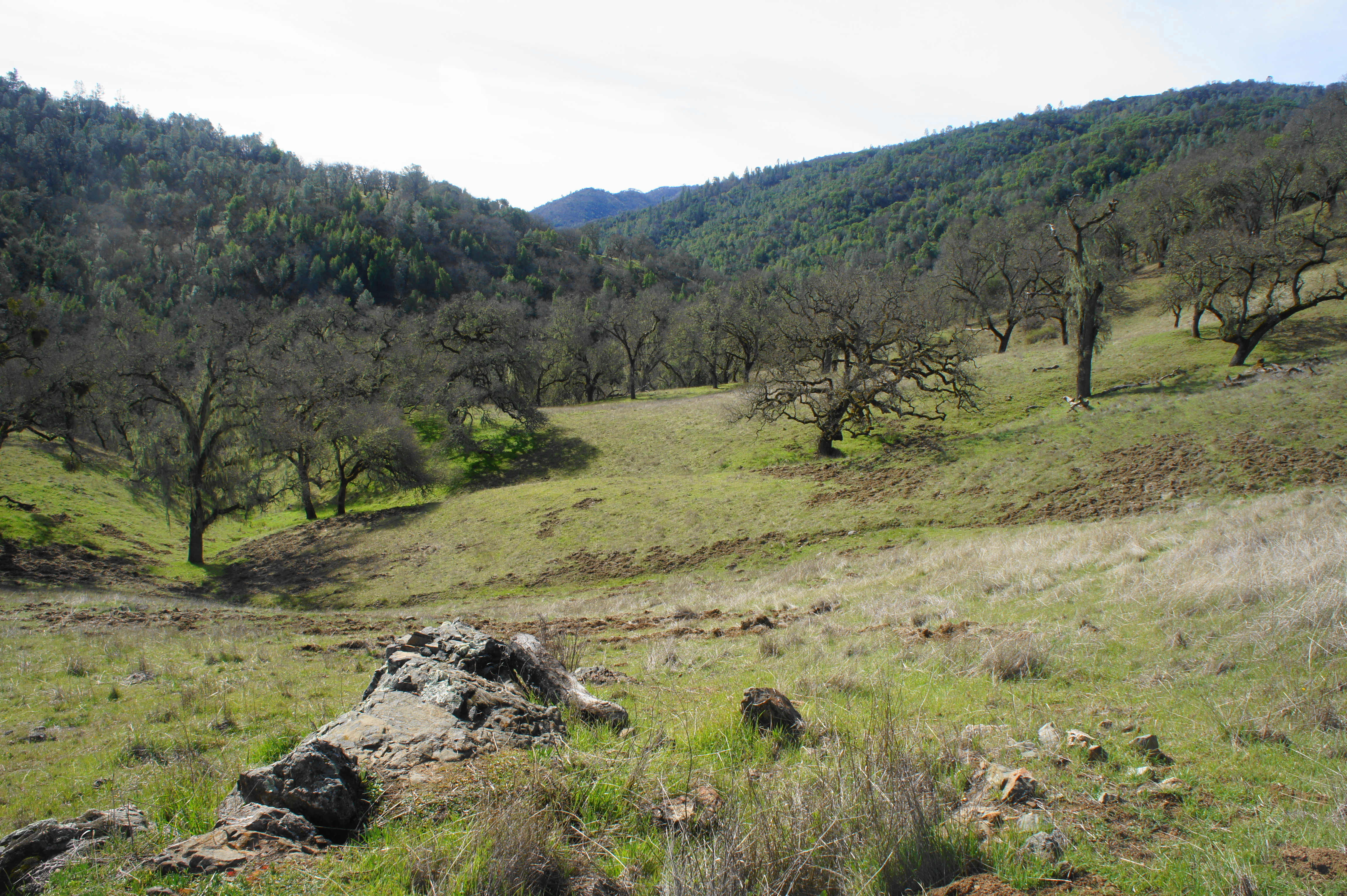
Instead of heading straight or left toward the wide Manzanita Point Road, bear right instead on the more scenic Springs Trail, a beautiful track that rims the southern flank of Pine Ridge. Terrific views abound as hikers skirt the open Arnold Field: views extend south across Soda Springs Canyon, Cordoza Ridge, the Coyote Creek drainage, and the southern reaches of the park.

Springs Trail 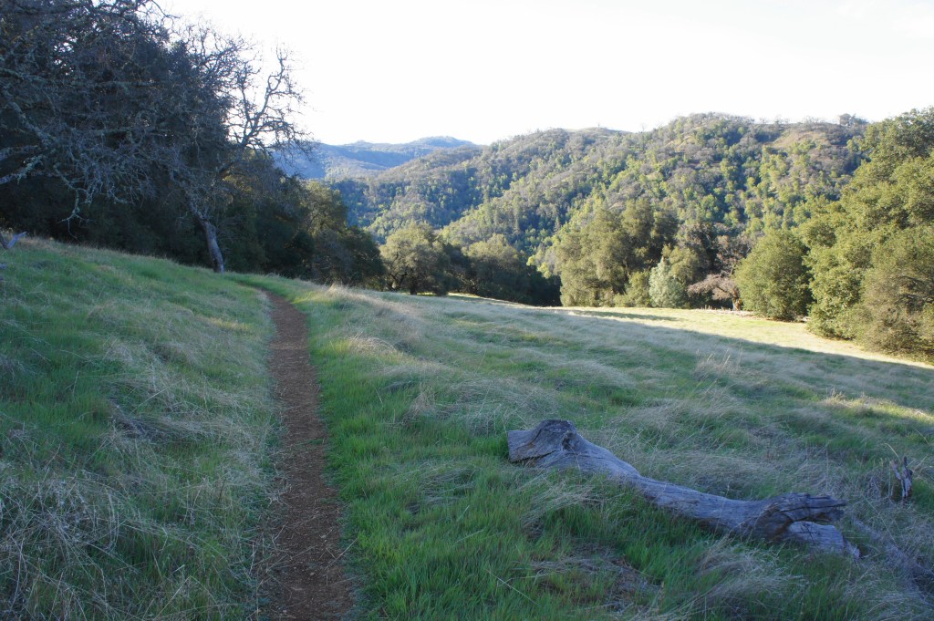
Soda Springs Canyon from Springs Trail
Stay left at the junction with the Lion Spring Trail, then weave in and out of a set of spring-fed gullies, gradually descending to a second junction with the Manzanita Point Road at 1.8 miles. This time, onward travel requires temporarily leaving the single-track and heading southeast on the fire road en route to the Manzanita Point Group Camps. The next half-mile is somewhat drab as the wide track gradually sheds elevation, passing spurs to the Blue Oak Horse Camp, Bass Pond, and Group Camps #1-5. At about 2.6 miles, in the heart of the group camp area, there is a pit toilet, water station, and a four-way junction. Bear right, just beyond the toilet, leaving the road in favor of the narrow Madrone Soda Springs Trail.
Madrone Soda Springs Trail, Soda Springs Canyon, and China Hole (2.1 miles)
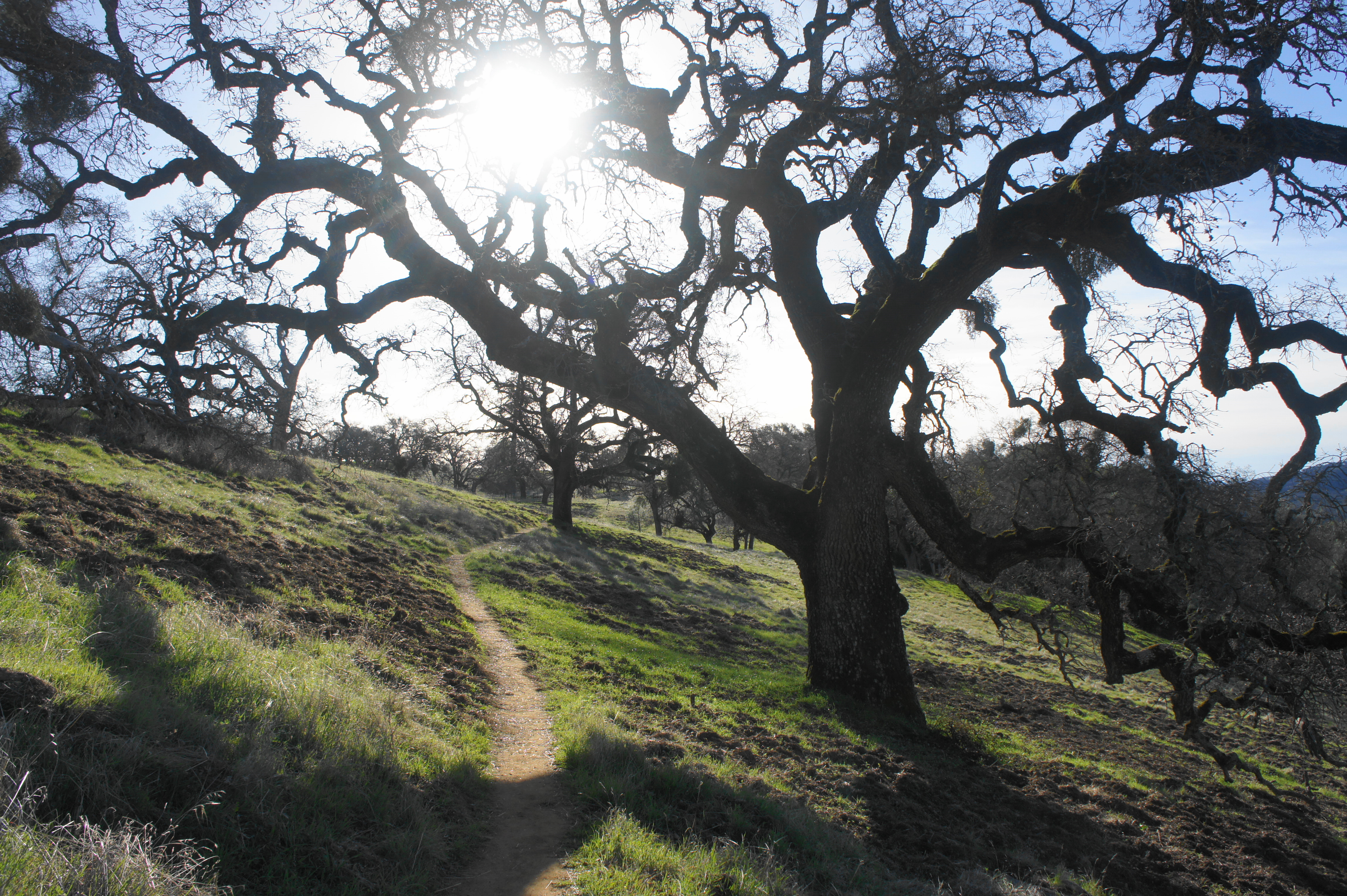
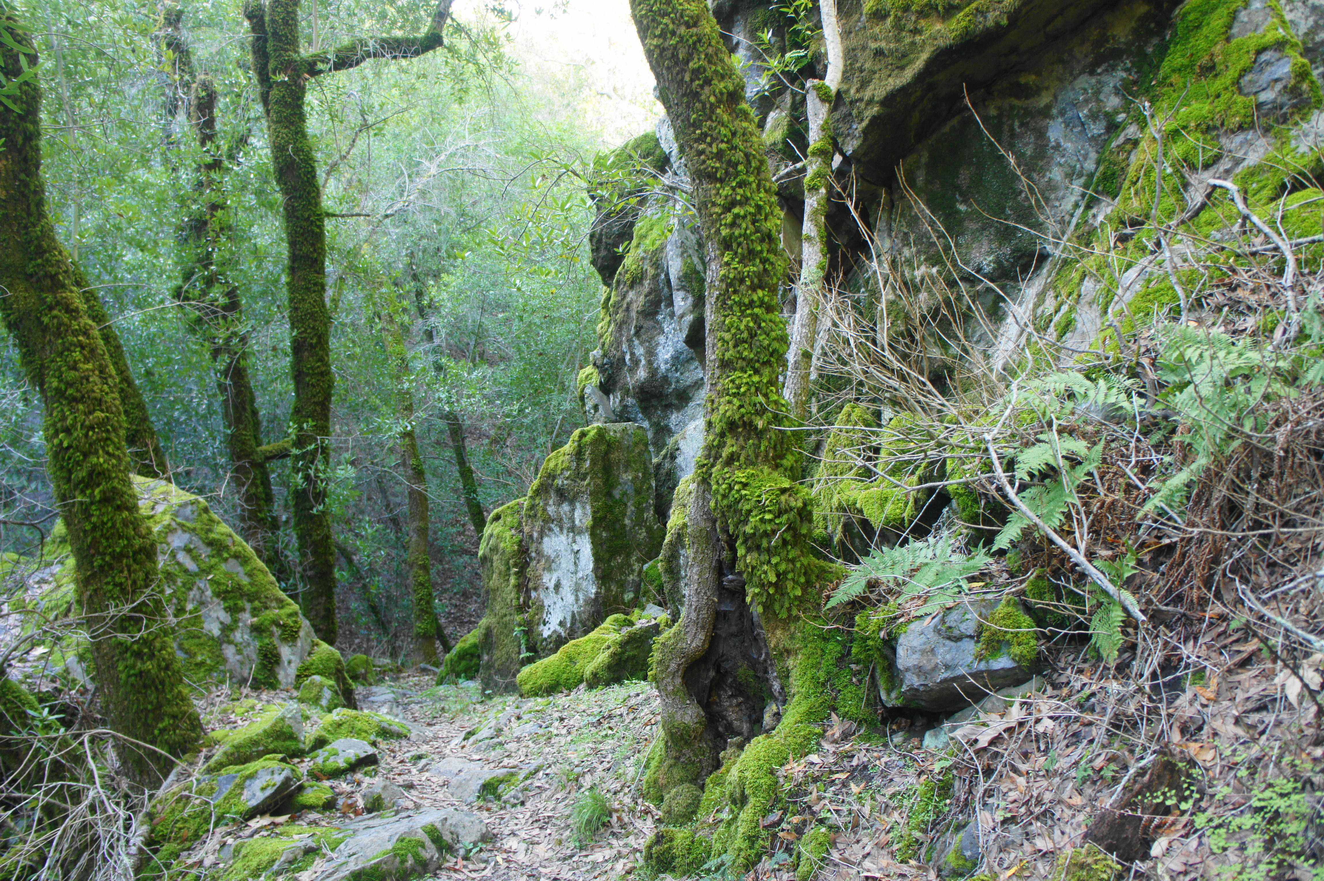
Back on single-track, the Madrone Soda Springs Trail crests a grassy ridge and then begins a sharp and steady descent, shedding around 700 feet in less than a mile. First bearing southeast, the route then settles into a series of winding bends, dropping into Soda Springs Canyon and leaving the sunshine behind. The diversity of flora expands as hikers drop into the riparian area fed by Madrone Soda Springs (and other natural springs upstream). At 3.5 miles, the trail forks as the stream comes into view on the right.
Madrone Soda Springs Trail before it drops sharply 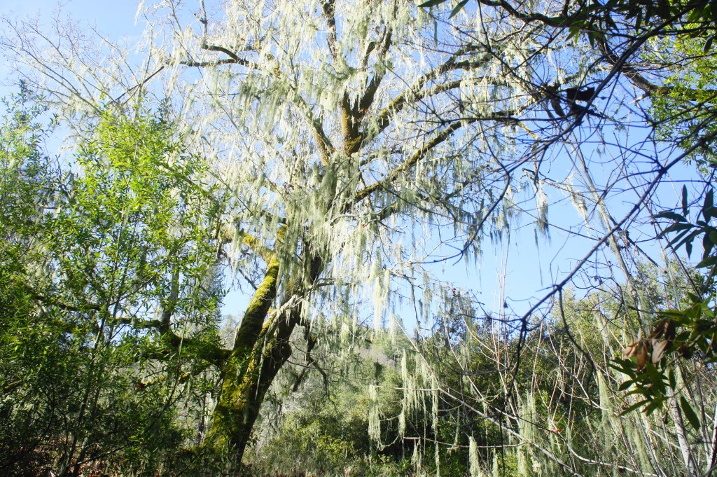
Moss-laden trees in the Soda Springs drainage


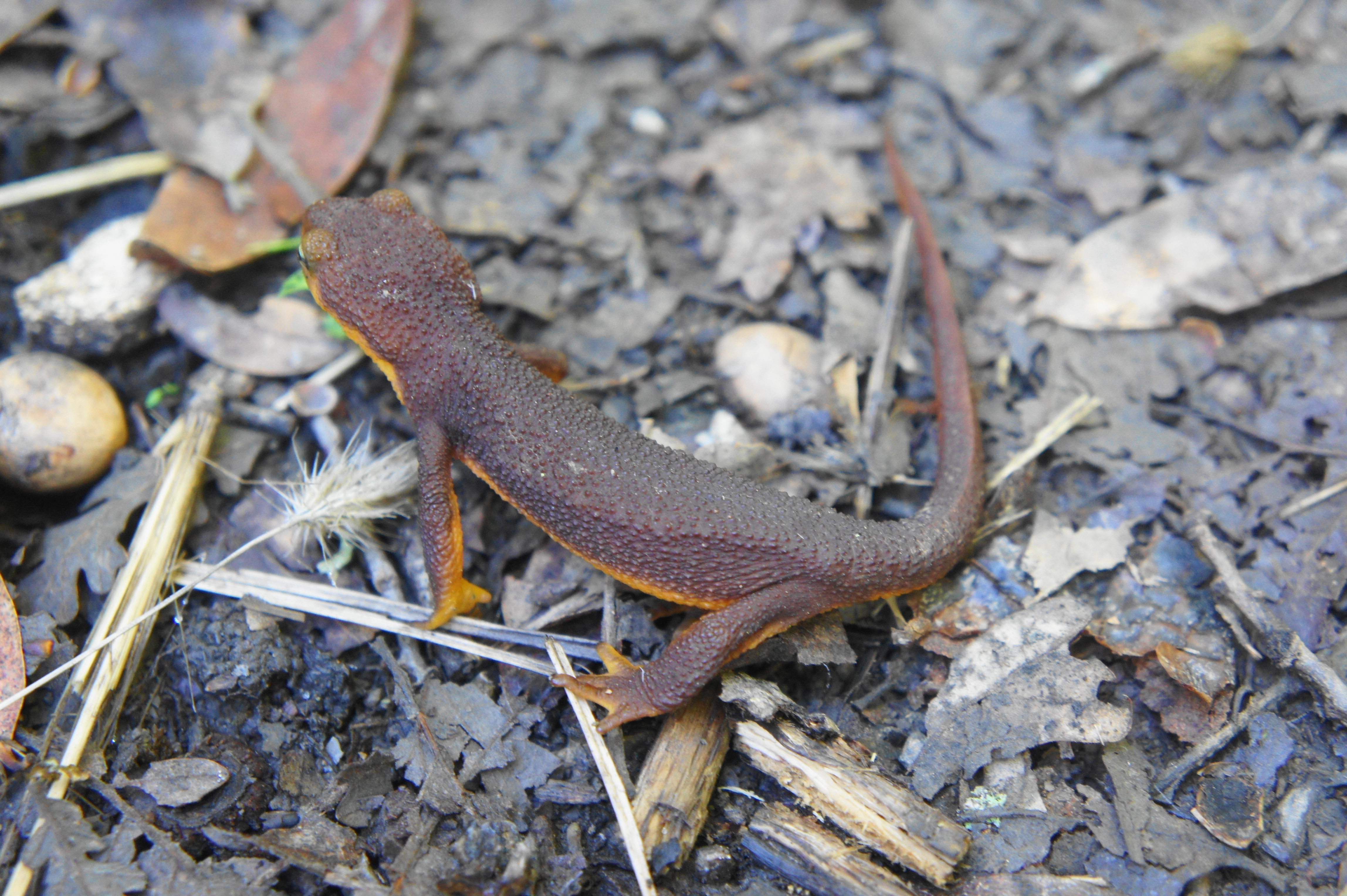
Stay left at the junction, continuing down Soda Springs Canyon. In addition to a variety of tree and shrub species, California newts can be seen in winter and early spring migrating to and from the slithering stream.

Newt sighting! 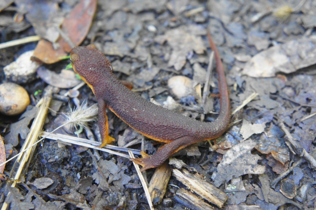
Slow-moving newt
After passing remains of a stone structure on the left, hikers skirt the north bank of the drainage, traversing a cut between high boulders at 3.9 miles. Off to the right are the wooden ruins of another, larger structure that once sat right above the creek. This presumably was part of the old mineral springs resort once situated in this drainage in the late 19th century.
Cascades along the Soda Springs drainage 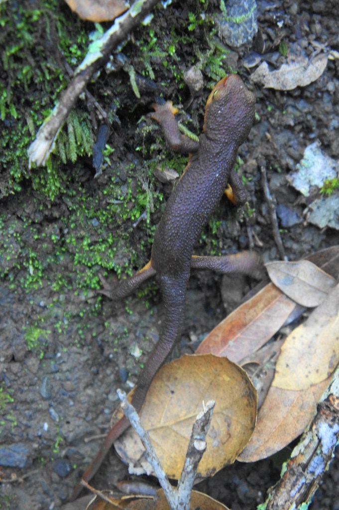
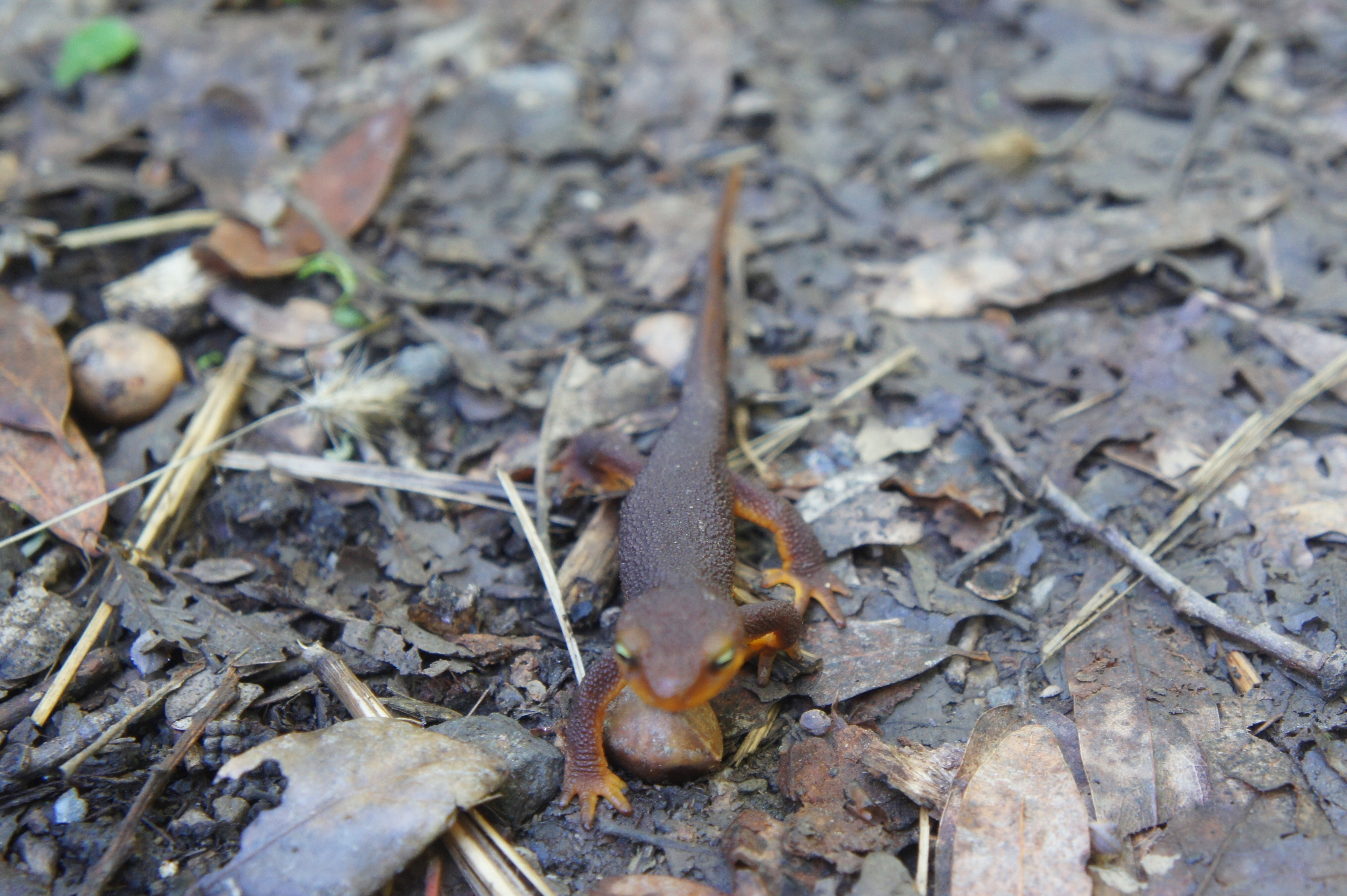
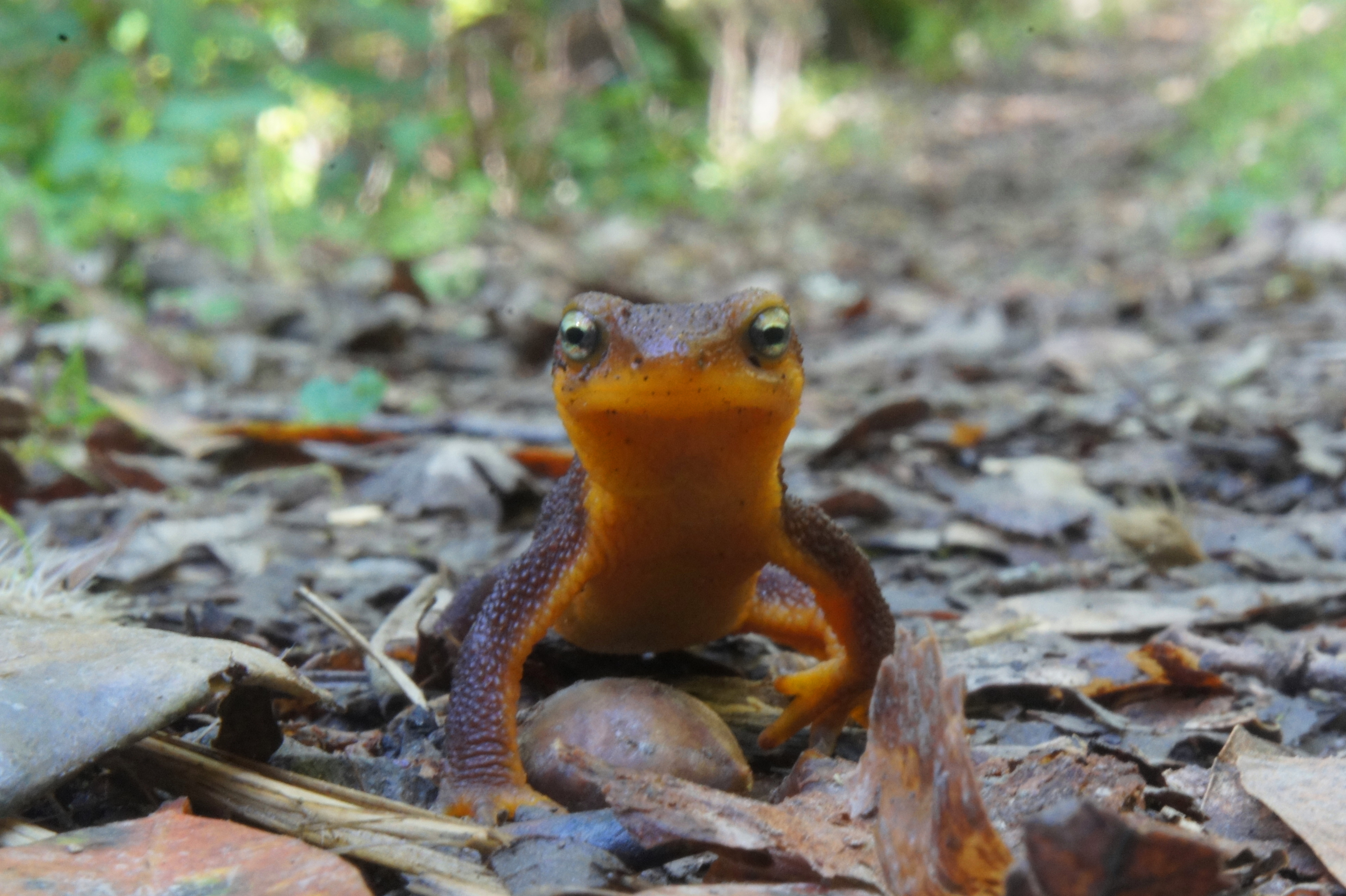
Another migrating newt


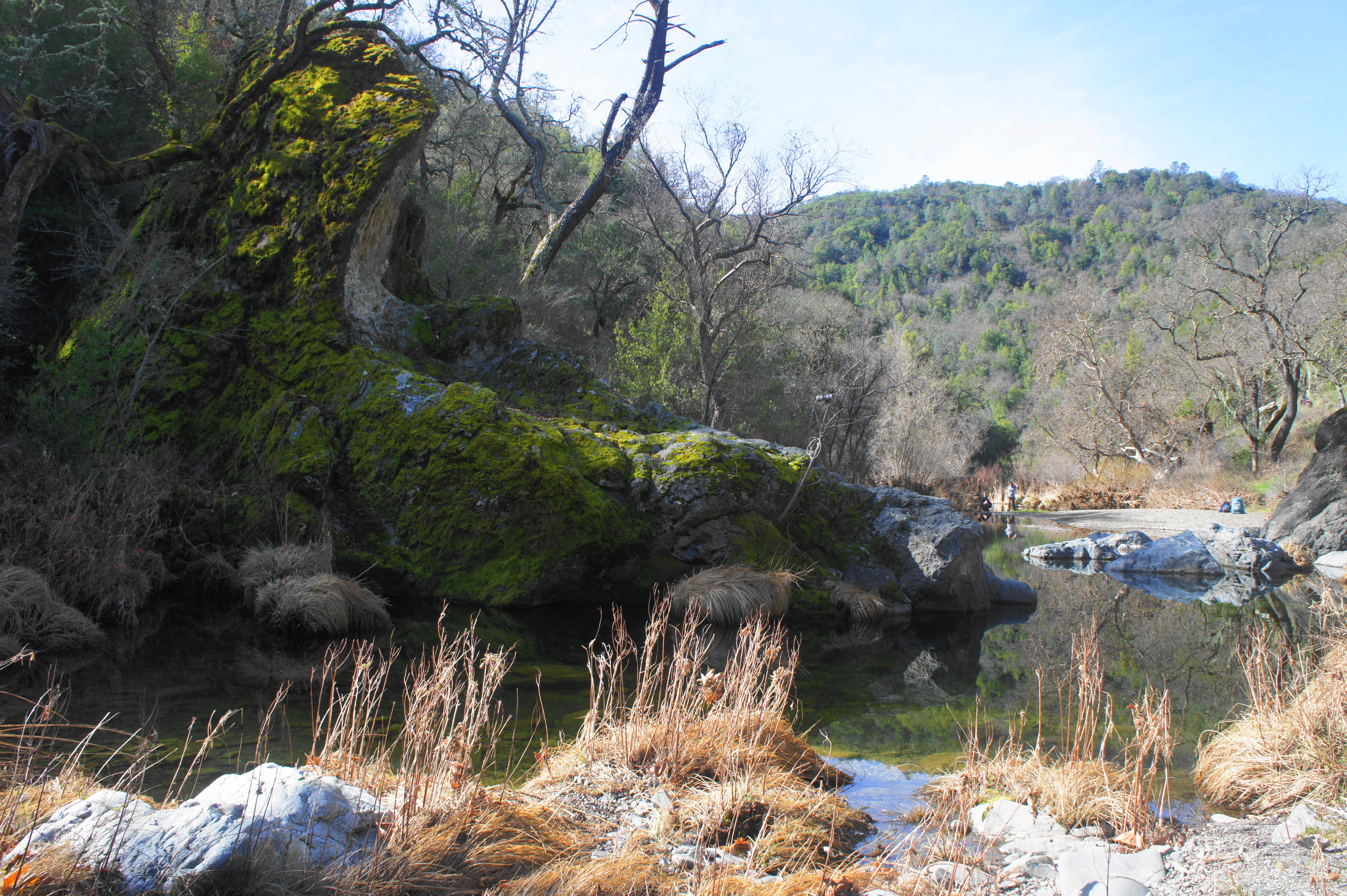
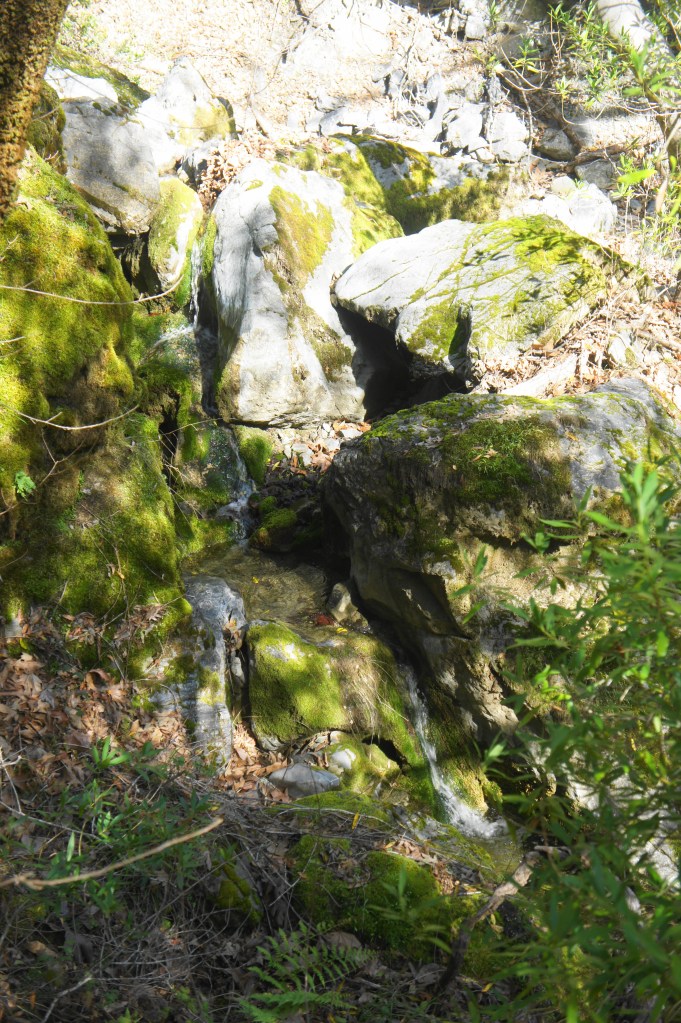
In the subsequent 7/10 mile, hikers will cross the creek 10 or 12 times as the canyon drainage becomes increasingly choked with moss-laden boulders. A rocky hollow with flowing cascades at around 4.3 miles is particular inviting. The narrow trail eventually settles back on the northern banks of the creek and passes the confluence with Coyote Creek (obscured from view) at about 4.5 miles.

Just beyond, as hikers follow Coyote Creek northward, the stream fans out, creating occasional, turquoise-tinged ponds that make for nice swimming holes on a hot summer day (although likely to have low water levels by late summer). At 4.8 miles, head right at the junction to drop to China Hole, where a rocky beach gives way to a deep and multi-hued pool, fronted to the east by an anvil-shaped rock that towers more than 15 to 20 feet above the water.
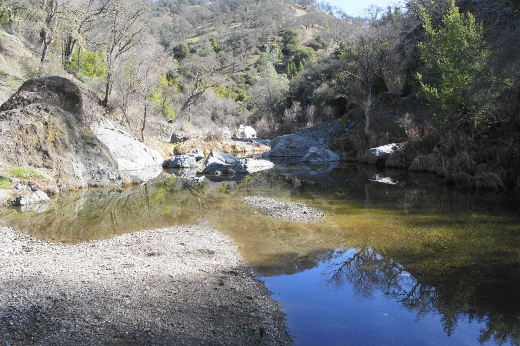
China Hole from the beach 
China Hole

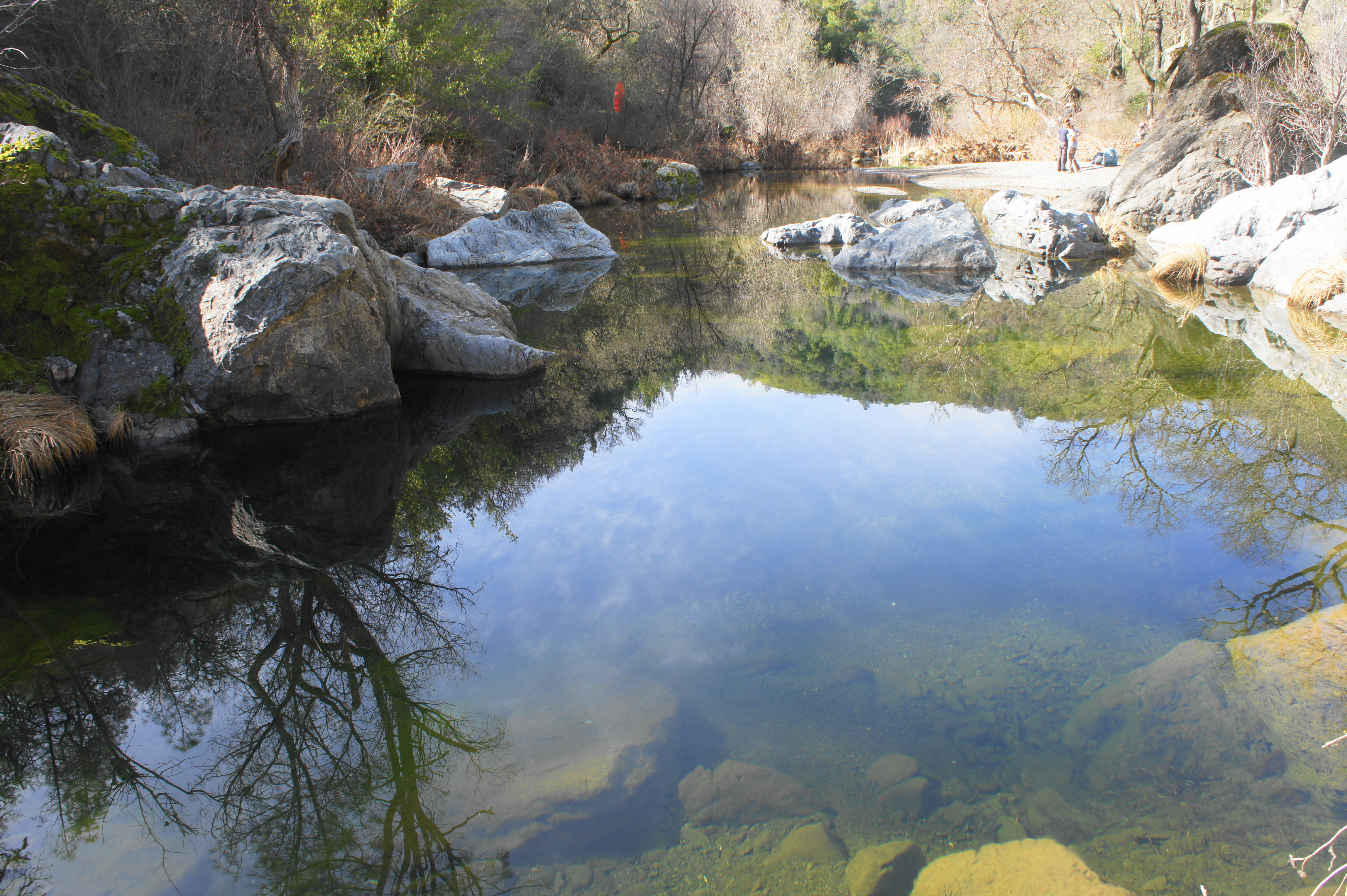
China Hole is a popular camping destination, as well as a local swimming hole in summer. The pool drops as far as 7 to 8 feet deep, yet the spring-fed waters are often crystal clear, making the area an attractive and surprising sight in this otherwise scrubby area of the Diablo Range.
China Hole to Manzanita Point Group Camps via China Hole Trail (2.5 miles)
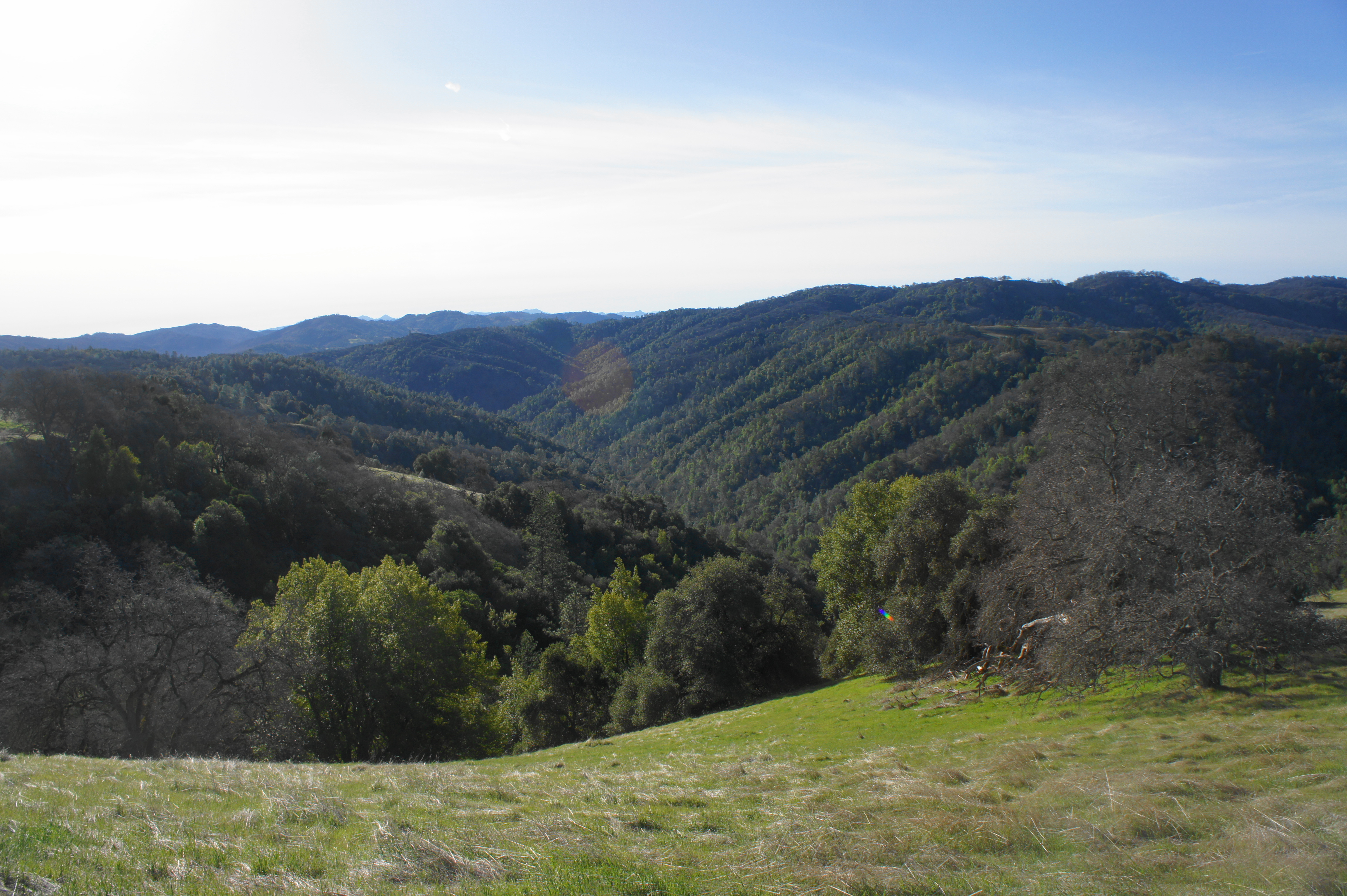
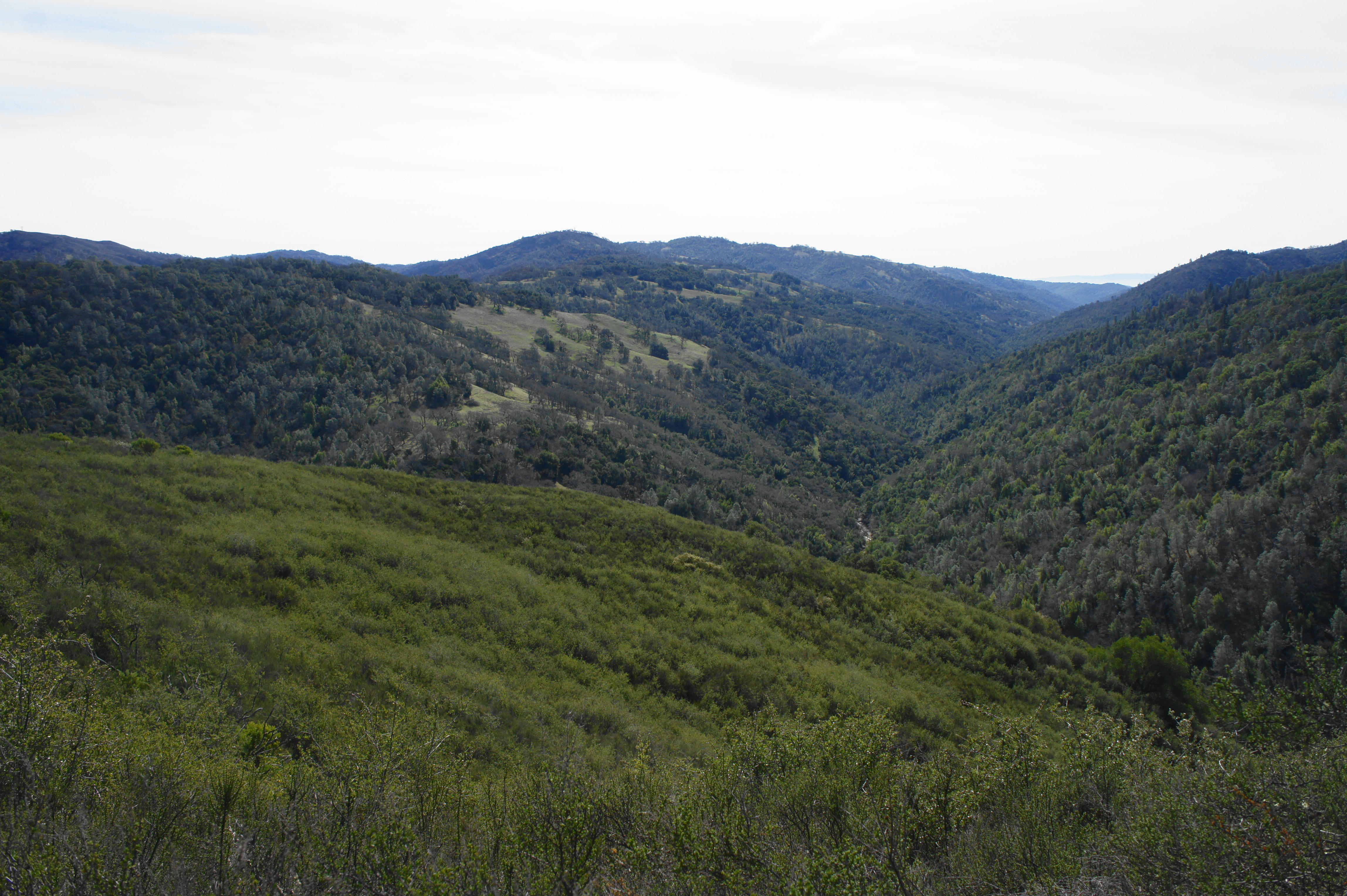
After exploring the stony ledges around China Hole, head back the way you came to the junction with the trail to Madrone Soda Springs. Head right on the China Hole Trail, which begins a scenic climb back toward Manzanita Point, rising quickly to a set of bluffs with expansive views across the Coyote Creek drainage to Jackass Peak (1,784’) and the Narrows area, where the East Fork of Coyote Creek comes in from the east.
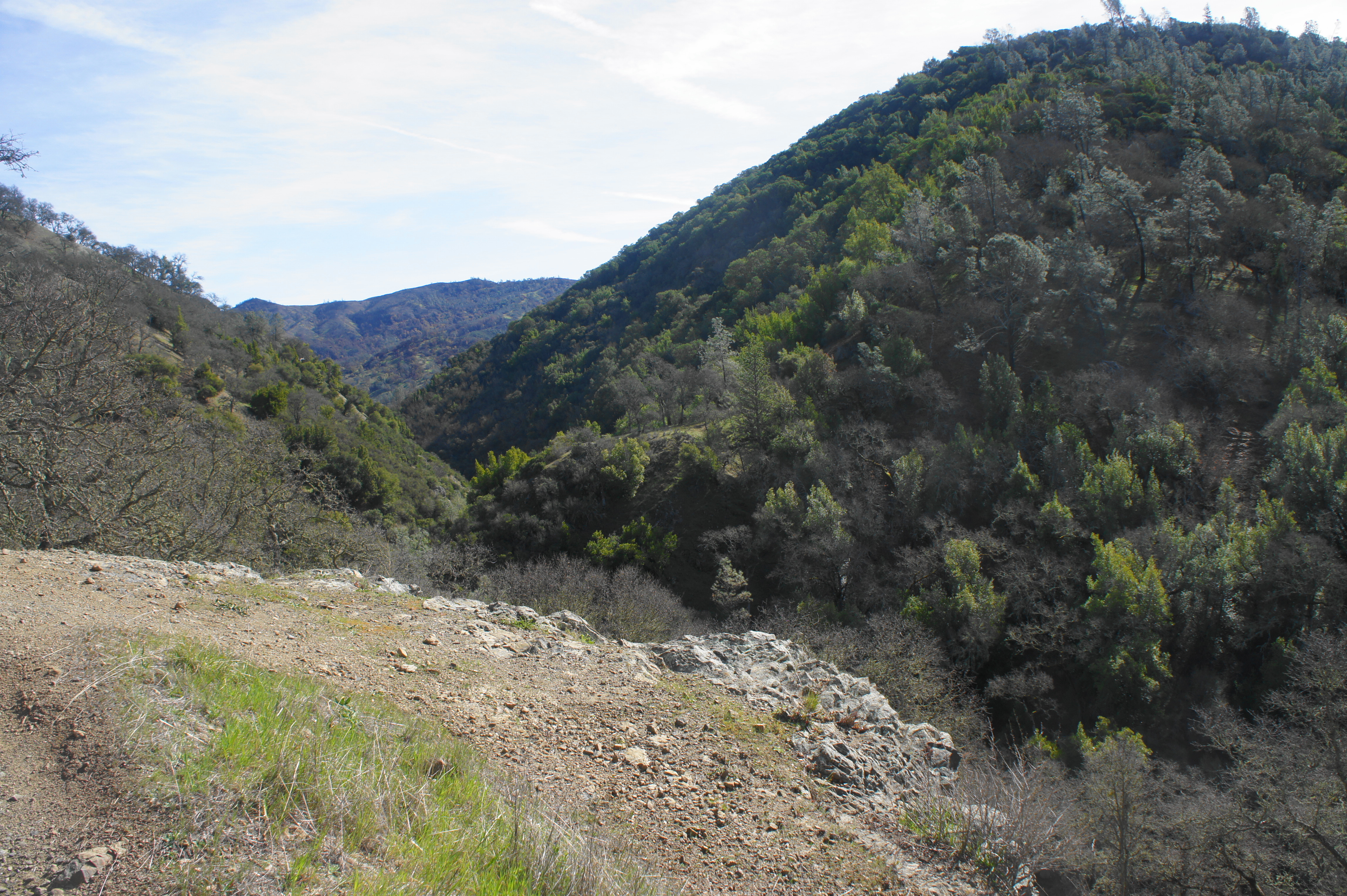
After skirting northward, the trail switchbacks to the south, continuing to climb, eventually leaving behind the open, grassy slopes dotted with oaks. The scrubby chapparal beyond rarely rises above 6-8 feet, and the views continue as hikers reach Manzanita Point and a junction with the Cougar Trail at 6.2 miles. By now one can see southward down the Coyote Creek drainage toward Mahoney Ridge and Wasno Ridge.
Stay straight on the China Hole Trail, which briefly follows the south-facing slopes looking down into Soda Springs Canyon, then switches to the north side of Pine Ridge, cutting through a manzanita-lined forest. Stay right at the junction at the 7-mile mile mark (the trail left leads to Group Camps 8-10). Minutes later, the trail emerges out into the open at the heart of the group campsite area, and the China Hole Trail merges with Manzanita Point Road again at the pit toilet.
Manzanita Point Group Camps to Coe Ranch Headquarters (2.4 miles)
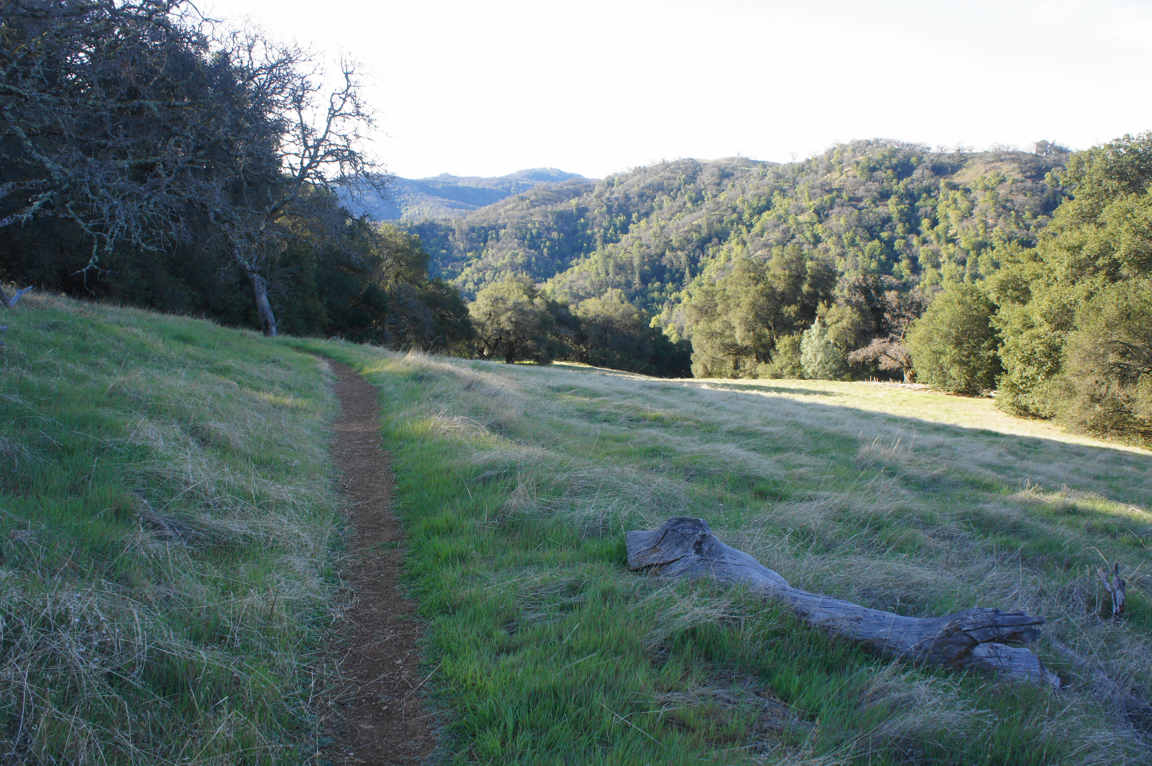
The final leg leads hikers back on Manzanita Point Road over familiar territory, gradually rising to clear Bass Pond and the spur to the horse camp again. Eight miles into the hike, trekkers will reach a five-way junction, where the Springs and Forest Trails merge with Manzanita Point and Poverty Flat Roads. Bear right on the Forest Trail, a single-track which offers passage back toward Coe Ranch. While not as scenic as the Springs Trail, this narrow path weaves through pleasant woods (per its namesake) with occasional views north toward Middle Ridge.
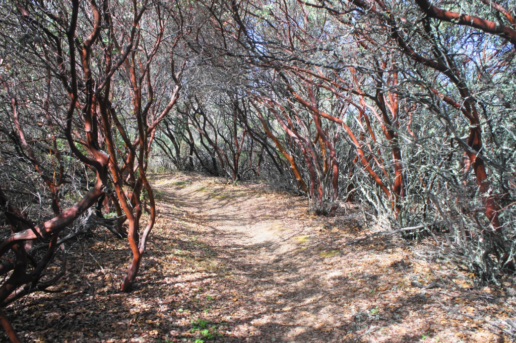
Manzanita forest along the China Hole Trail 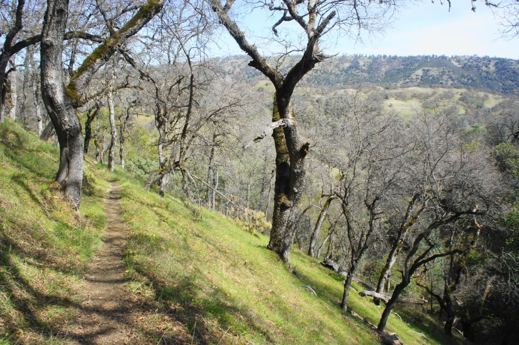
Forest Trail


After gradually gaining elevation, the Forest Trail ends back at Manzanita Point Road again. Cross the dusty drive and return to the Corral Trail, turning right for the final return to Coe Ranch. Follow the winding Corral Trail for a little over ½ mile, finding oneself back at the trailhead after 9.6 miles.
This lengthy hike will take much of a day for most hikers, although the ambitious can add on more mileage to their liking (perhaps adding trips into the Narrows or to Poverty Flat). Do not underestimate the difficulty of hiking in Henry Coe, however, especially in the summer, when blistering heat combines with tough elevation gain. The area is much more manageable—and prettier—in early spring, when the various ridges sport green grass and wildflowers and the streams are flowing nicely.

Pingback: Kelly Lake, Coit Lake, and Pacheco Falls Loop (Henry W. Coe State Park, CA) | Live and Let Hike