
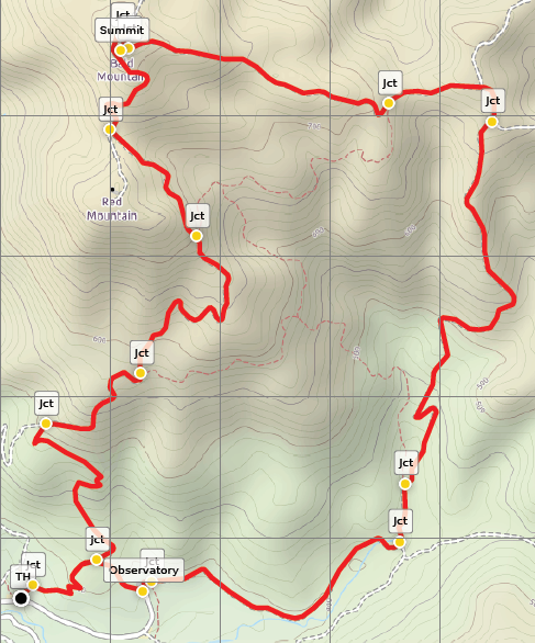
Towering above California’s wine country, Bald Mountain (2,729’) is the highest point in Sugarloaf Ridge State Park and one of the tallest peaks in the Mayacamas Mountains, a subset of the Coast Range in the North Bay. While the main draw of Sugarloaf Ridge is the nearby 25-foot seasonal waterfall, hearty hikers can trek to the summit of Bald Mountain for panoramic views stretching as far as the San Francisco Bay and Golden Gate Bridge to the south and Sierra Nevada to the east, with endless ranges and valleys in between. The following describes a 6.6-mile stem-and-loop that ascends the Bald Mountain Trail and descends the Gray Pine and Meadow Trails, making for a strenuous, 3- to 5-hour jaunt.

The hike
Start this hike from the main recreation area in Sugarloaf Ridge State Park, a roughly 4-mile drive east of Kenwood, California in Sonoma Valley. While the shortest loop technically starts from the Robert Ferguson Observatory at the end of Adobe Canyon Road, most hikers seeking to conquer Bald Mountain will begin at the parking area just east of the Sugarloaf Ridge Visitor Center, on the north side of the road. Across the drive to the south is the Sugarloaf Ridge Campground, across the banks of Sonoma Creek. There is an interpretive sign and map, as well as pit toilets, at the trailhead.
Bald Mountain Trail to Bald Mountain summit (2.7 miles)
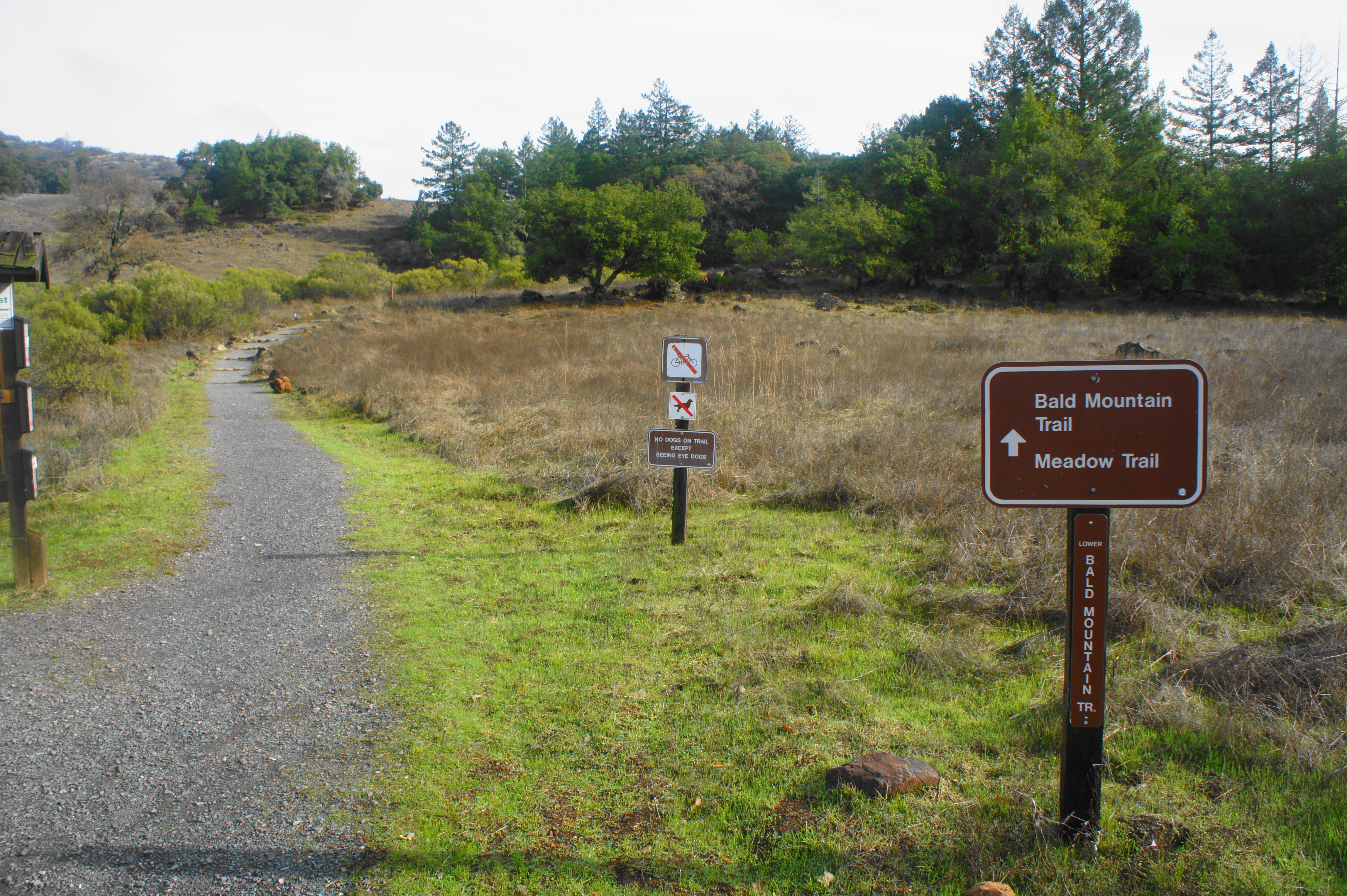
Begin by following the sign for the Bald Mountain Trail. (Note: The Stern Trail, which also leaves from here and provides quicker access to Bald Mountain, is less scenic and follows a wide road, making the path described below more enjoyable.) As the gravel-packed trail climbs mildly to an initial junction, the hulking mass of Red Mountain (2,548’), with Bald Mountain beyond, dominates the landscape to the north. At the first fork, encountered within a minute of hiking, stay right, edging through an oak-pine woodland. After a set of switchbacks, the well-trodden path spits out into a grassy meadow.
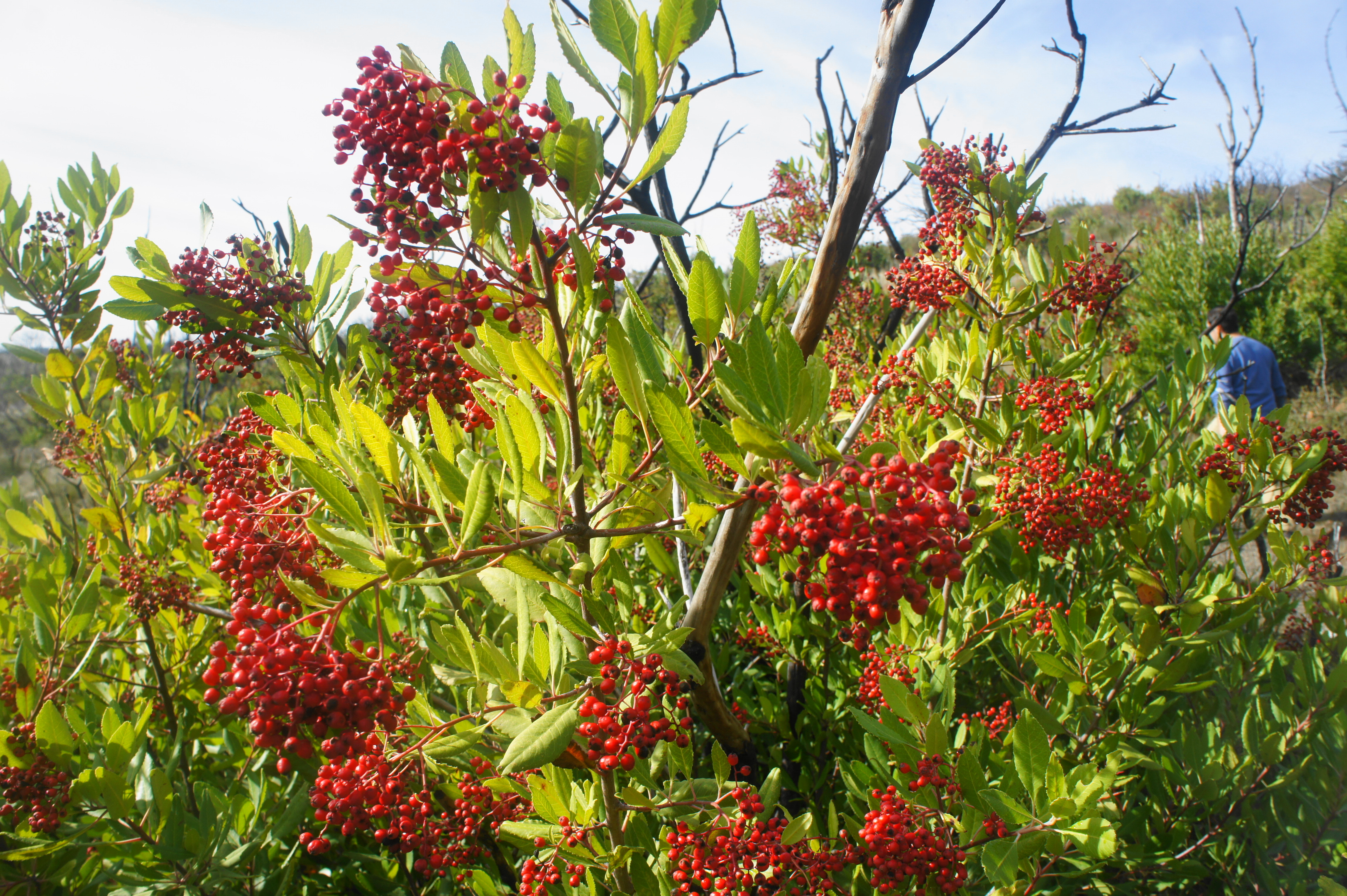
At 3/10 mile, stay left at the second junction, continuing on the Lower Bald Mountain Trail. Remain left again at a subsequent fork, then climb back into the woods around ½ mile. Live oaks predominate for a brief period, but the trail soon reenters the sun, cutting through a section flush with low, scrubby, and berry-toting toyon bushes. By 9/10 mile, when the trail intersects with the paved but hikers-only Bald Mountain Road, hikers have gained roughly 400 feet in elevation.
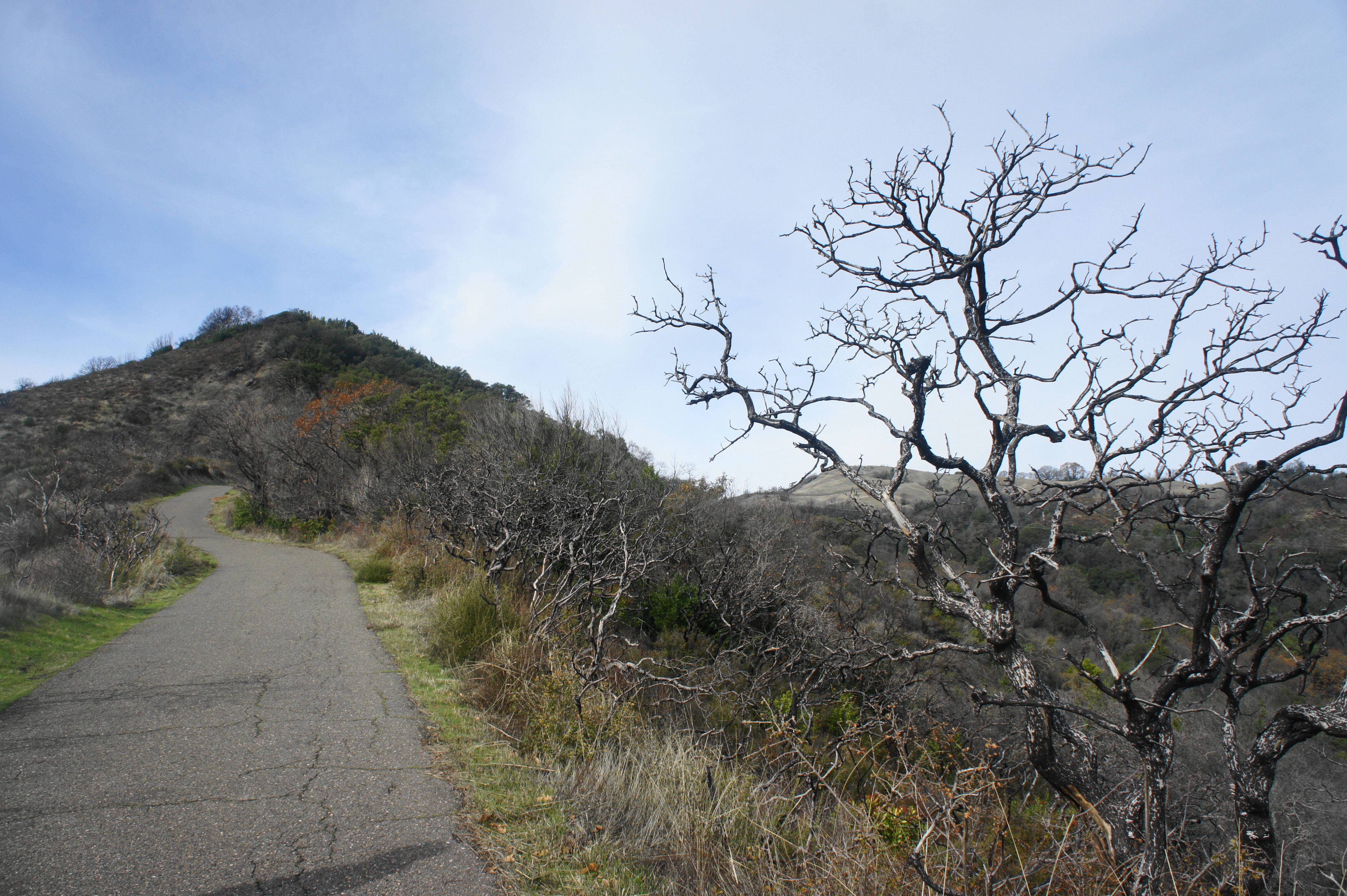
Bear right on the road, following as it continues to climb, providing sweeping views to the south and east, including Adobe Canyon, Sugarloaf Ridge (2,265’), Little Bald Mountain (2,275’), and the Brushy Peaks (2,243’). Just beyond the park boundary to the east, in the shadow of Mount Saint John (2,375’), is a small vineyard and a quicksilver mine.
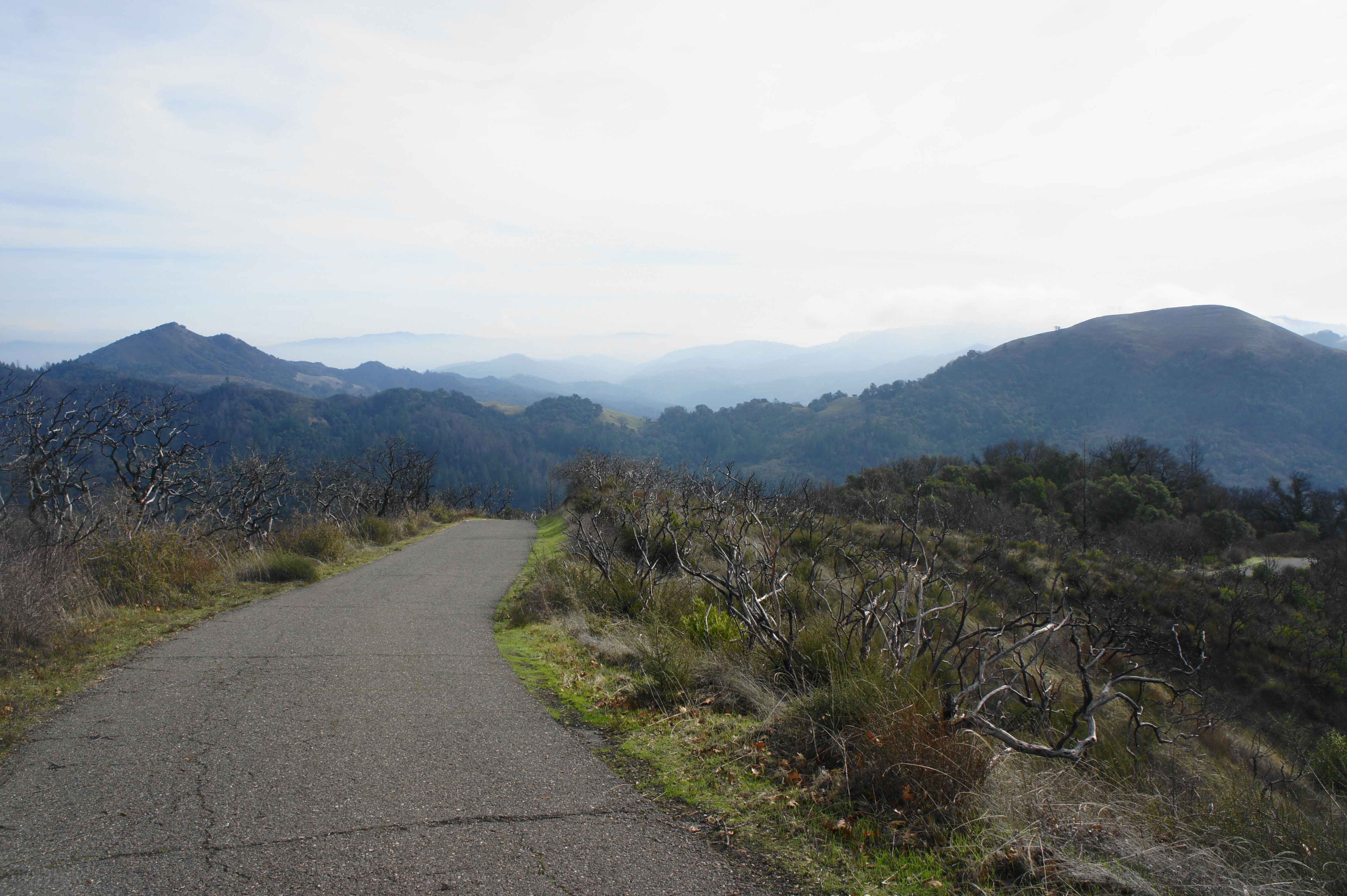
For the next mile, the road ascends steadily as it rounds a series of bends and minor ravines, largely in full sun. Stay left on the main road at the junctions with the Vista Trail and Red Mountain Trail at 1.1 miles and 1.9 miles, respectively. After passing the second junction, the vegetation becomes denser and taller, with toyons and other shrubs replaced with California’s characteristic oak and bay woodlands. Here the trail actually sheds elevation in a brief descent before climbing again to a windy saddle between Red Mountain to the south and Bald Mountain to the north. Approaching a fork in the road at 2.25 miles, views open up to the west, toward Santa Rosa and Mount Hood (2,730’), which is actually a foot taller than Bald Mountain.


Bear left at the junction, then ascend the gravel track as it makes the final approach to the summit. Passing a picnic table on the right, the Bald Mountain Trail wraps around the south-facing hillside to the west. At 2.66 miles, there is another fork, this time with the High Ridge Trail. Stay right, then right again at another junction—with the Gray Pine Trail—at 2.7 miles. From here it is a short climb to the summit of Bald Mountain.
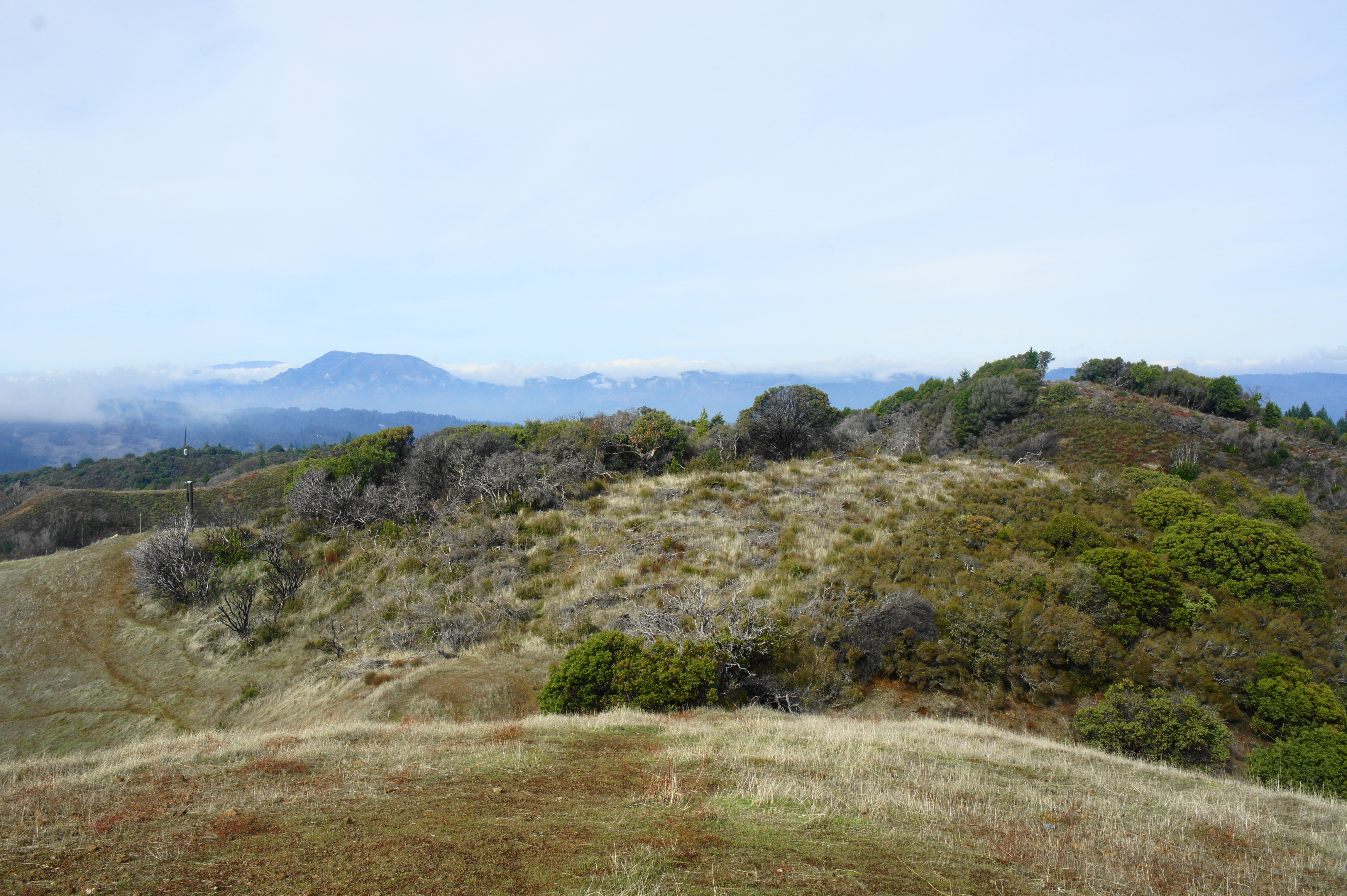
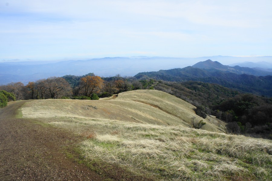
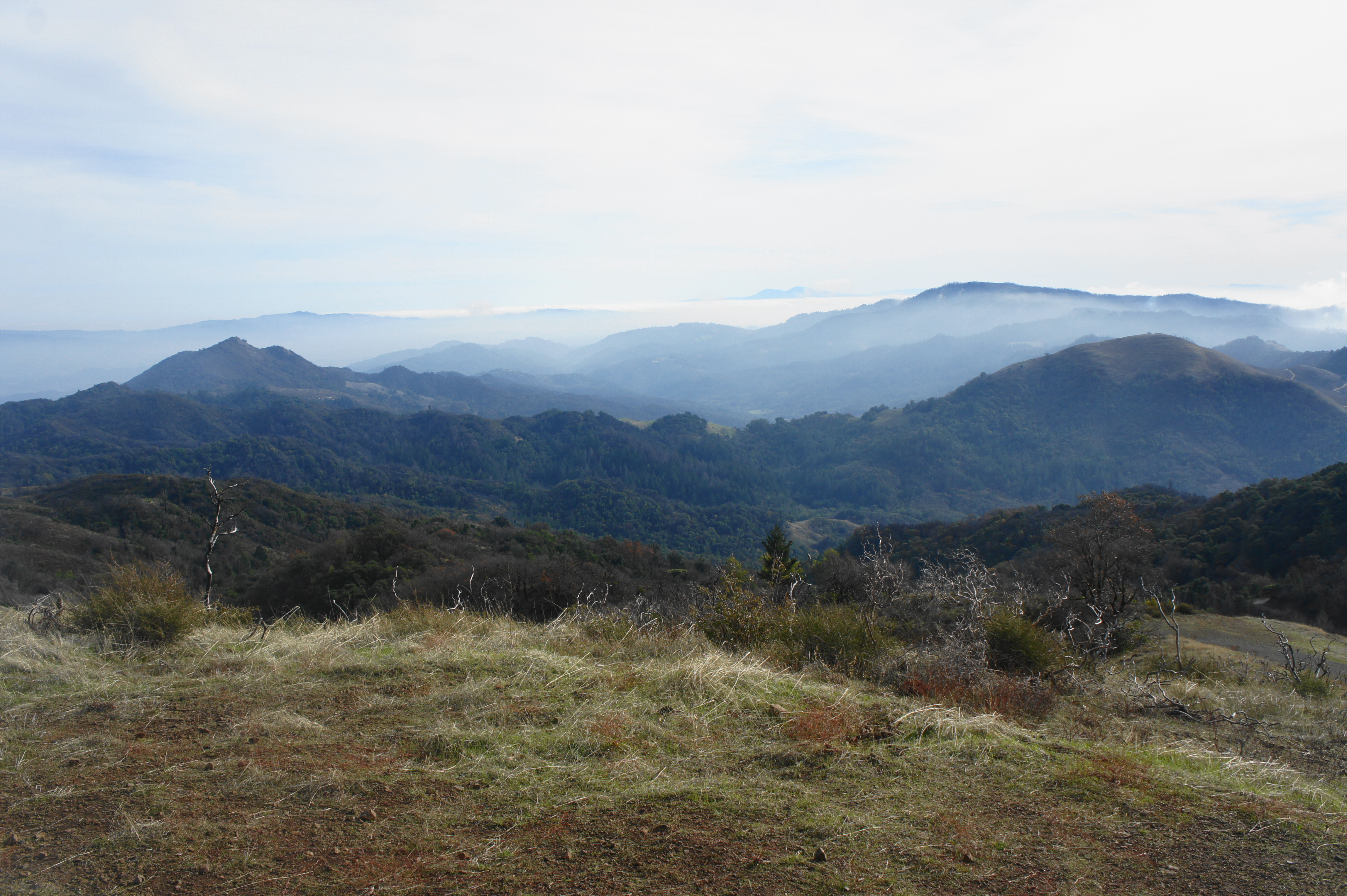
On a clear day, the views from Bald Mountain are some of the best in the Bay Area: one can see north across Napa Valley to some higher peaks in the Coast Range, including Mount Saint Helena (4,341’) and Saint John Mountain (6,783’). To the east, on the horizon, one can make out the curvature of Pyramid Peak (9,983’), situated all the way across the Central Valley in the Sierra Nevada. Southward, past Red Mountain, hikers can spot Mount Diablo (3,849’) and the San Francisco Bay, with the Golden Gate Bridge and Pacific Ocean beyond. To the southwest are Point Reyes, Santa Rosa, and Sebastopol—with Mount Hood obstructing the vista due west.
Gray Pine Trail and Meadow Trail to Bald Mountain Trailhead (2.9 miles)
From the summit, the quickest way back down is to return the way you came. But to make a loop of it, instead backtrack for 50 yards and turn right on the Gray Pine Trail, which bears east from the summit. This wide track bounds up and down a ridge with several minor hills, generally shedding elevation. At 3.5 miles, stay left at the junction with the Red Mountain Trail, then climb—along the Napa-Sonoma County Line—to another fork where a dirt track enters from the left. Stay right, approaching a third junction at 3.8 miles. Bear right here again, staying on the Gray Pine Trail as it traverses a narrow and precipitous ridgeline heading south.


After flirting with a string of power lines, the Gray Pine Trail descends steadily and steeply into Adobe Canyon and the Sonoma Creek drainage. At 4.9 miles, cross a tributary of Sonoma Creek, which flows through a man-made pipe. By 5.1 miles, you are firmly in the valley, and the trail levels before traversing Sonoma Creek. Just beyond, stay left at the junction with the Vista Trail.
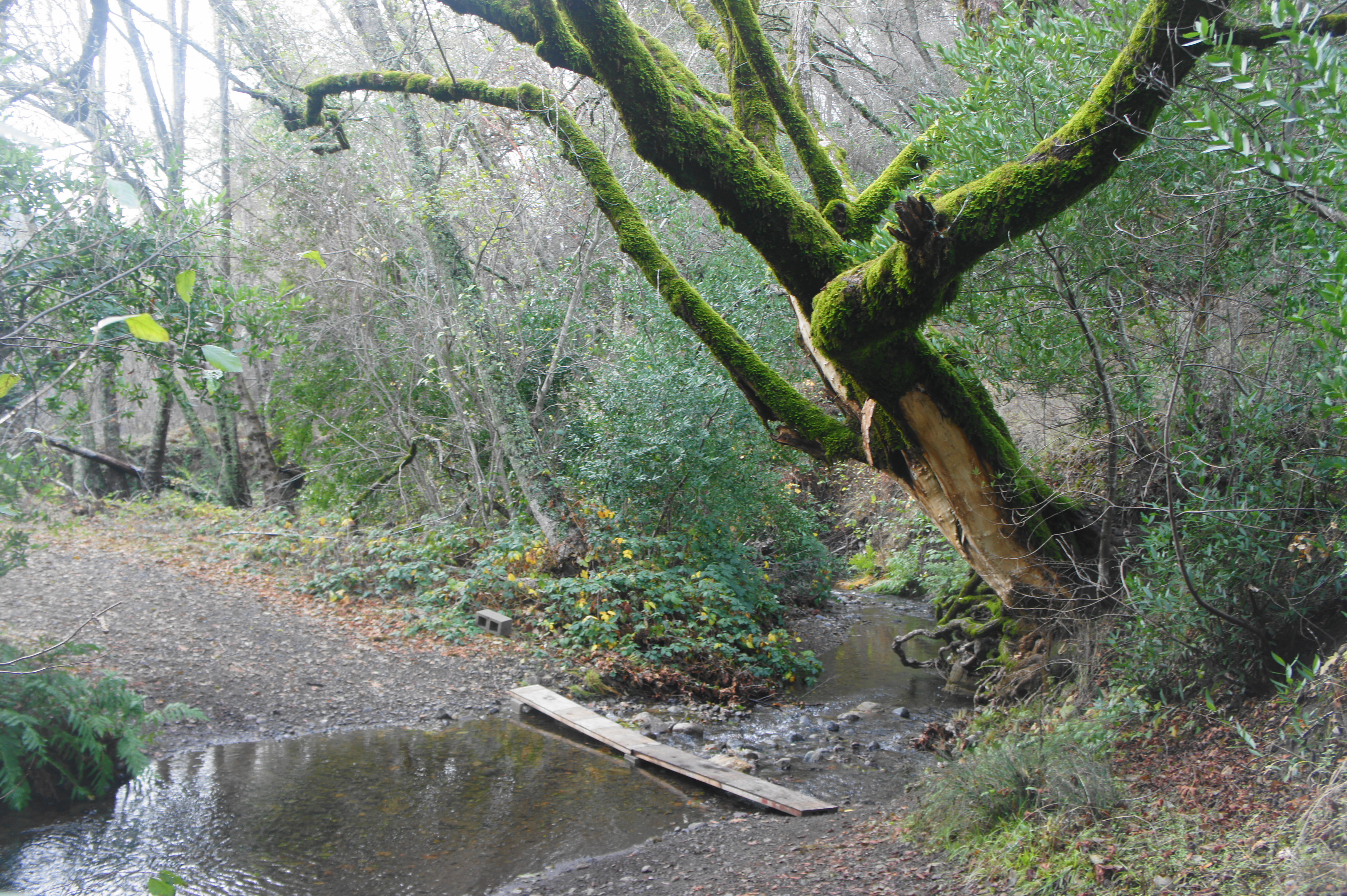
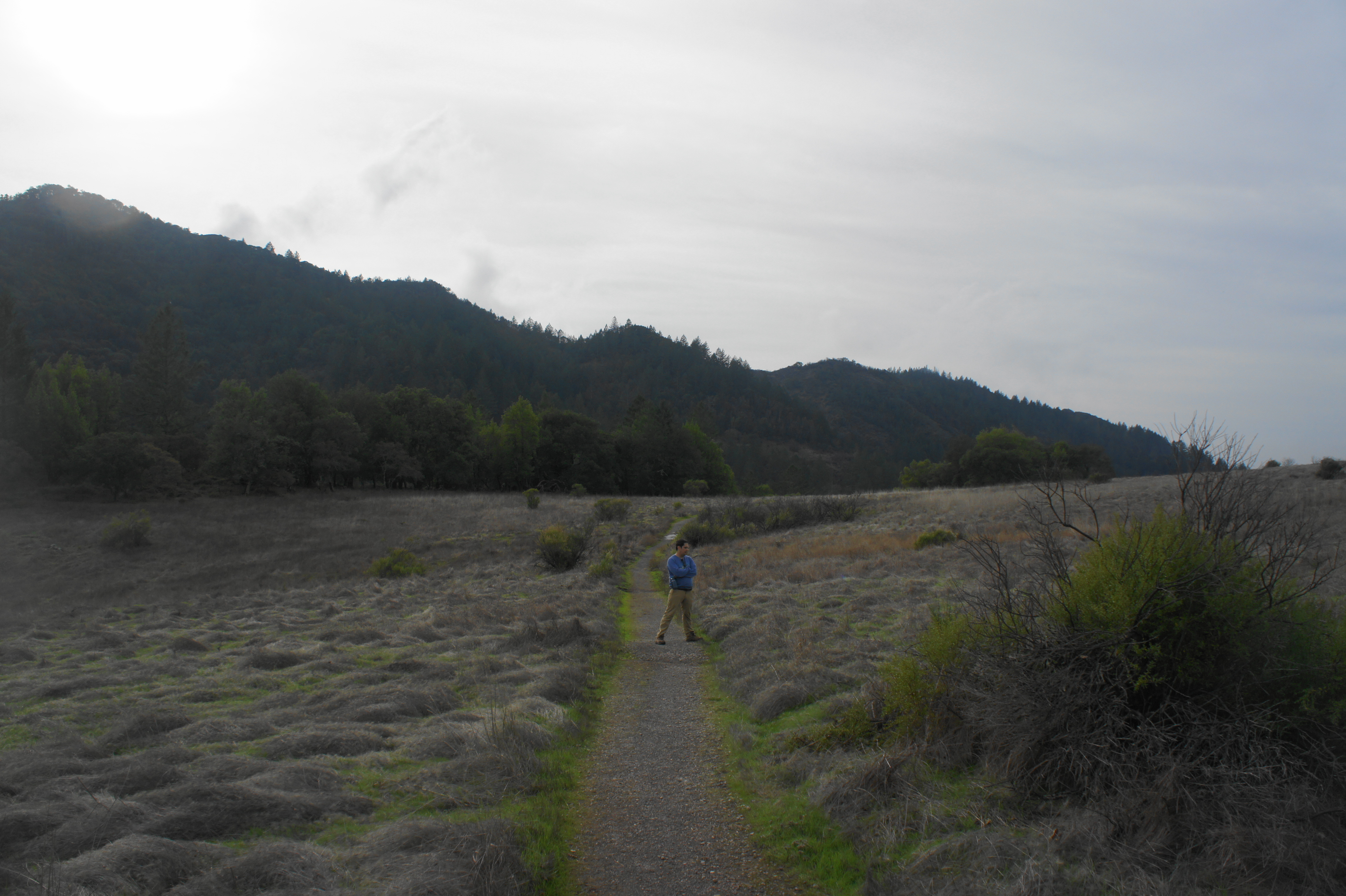
At 5.25 miles, the trail crosses the main stream again, this time in the shade of a moss-covered bay tree. In the clearing beyond, bear right on the Meadow Trail, which immediately traverses a wide bridge over Sonoma Creek. Keeping the creek on your left, the Meadow Trail weaves through a patchwork of woods and open fields, opening up into a broad meadow at 5.75 miles. The Adobe Canyon Road and Robert Ferguson Observatory are ahead. Stay right at the junction with the Hillside Trail, then cross the parking lot for the observatory. A sign for the Lower Bald Mountain Trail marks the continuation of the hike.
After climbing briefly, hikers return to familiar terrain: the initial hillside encountered at the start of the loop. Stay left at two subsequent junctions, then follow the Lower Bald Mountain Trail down a set of switchbacks, through a grouping of live oaks, and back to the parking area.
This strenuous hike covers 1,500 feet in elevation gain and takes about 3-5 hours to complete.

Pingback: Top 10 Hikes in 2019 | Live and Let Hike
Pingback: Mount Saint Helena (Robert Louis Stevenson State Park, CA) – Live and Let Hike