Outside of Yellowstone, there are relatively few spots on the US mainland to see active volcanic features, such as bubbling mudpots, boiling lakes, and smelly fumaroles. Yet Lassen Volcanic National Park in northern California boasts all of the above—reminders of the subterranean hydrothermal system linked to Lassen Peak, one of only two volcanoes in the contiguous United States that have erupted since 1900. (Note: The other one, of course, is much better-known.) There are eight hydrothermal areas in the park, three of which are located in the remote Warner Valley, a quieter and lesser-visited alternative to the popular Bumpass Hell area in the main section of the park.
The narrative below describes a stem-and-loop hike—on the Pacific Crest Trail and neighboring tracks—to two of the three hydrothermal areas in Warner Valley: Terminal Geyser and Boiling Springs Lake. It is also includes an out-and-back to nearby Little Willow Lake, an extension that adds about two miles to the trip but can be skipped if short on time or energy. There are some limited views of Saddle Mountain, Reading Peak, and Lassen Peak, in addition to a wonderful traverse of verdant meadows in a remote corner of the national park.


The hike
While most visitors to Lassen Volcanic National Park stick to the main highway in the park’s western reaches, the Warner Valley Road enters from the southeast and is accessed by way of the town of Chester, California. (Note: Chester is the gateway to Lake Almanor, a popular boating destination, and situated roughly at the junction of the Sierra Nevada and Cascades Range.) From Chester, follow Feather River Drive west out of town, then bear left on Warner Valley Road and follow it for 15.5 miles. The final three miles are unpaved but should be passable to two-wheel drive vehicles. (Note: There is one steep hill that could be tough on an RV.) Pull into the Warner Valley Trailhead on the left. (Note: Across the street to the north is the Warner Valley Campground, a quiet and relatively pleasant spot with 16 sites.)
Warner Valley Trailhead to Terminal Geyser (3.0 mi.)
An added bonus of the Warner Valley area is its location on the 2,650-mile Pacific Crest Trail (PCT). In fact, Drakesbad Guest Ranch (situated another a mile down the road) is a prominent stop—roughly the halfway point—on the PCT.
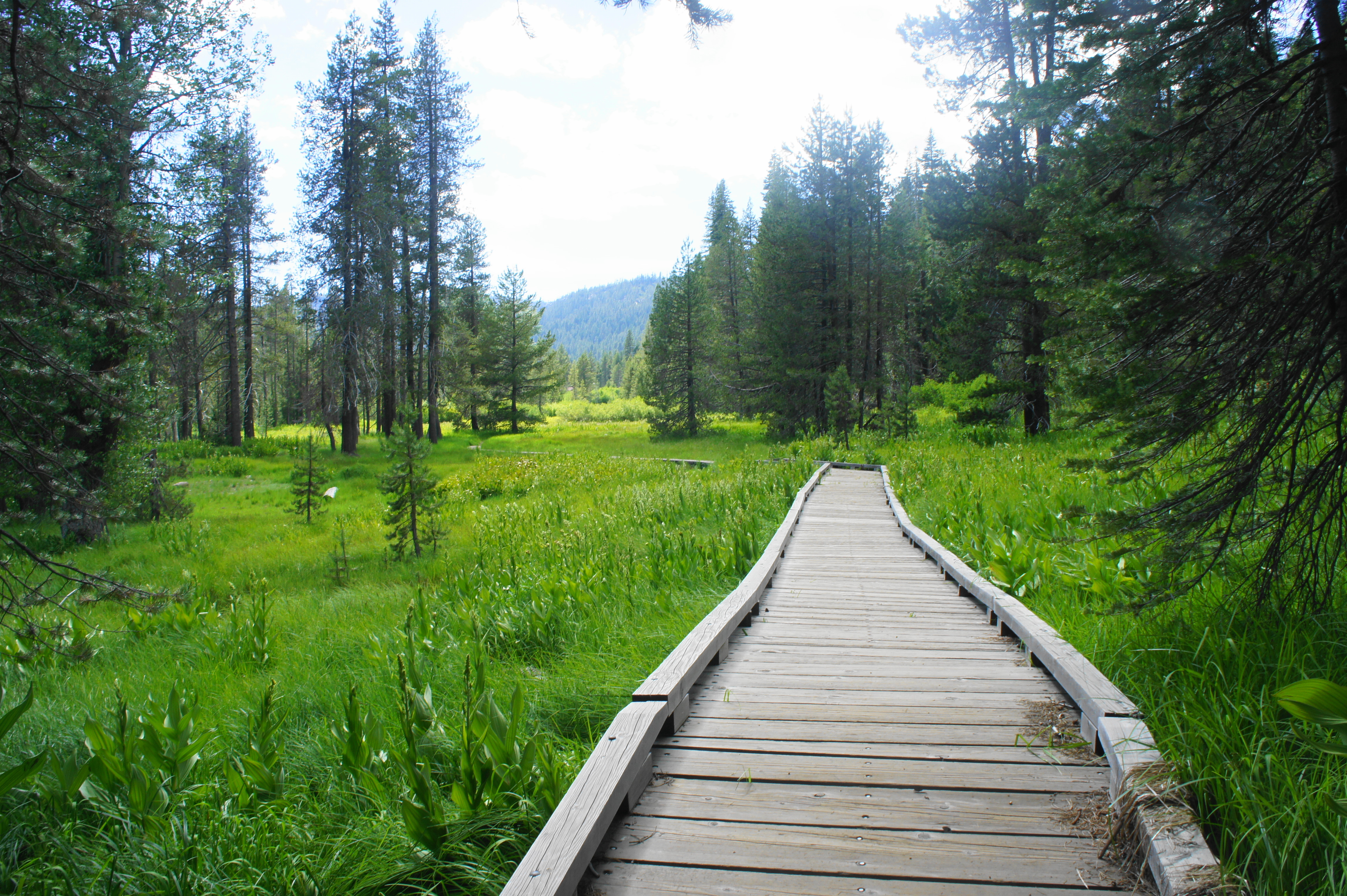
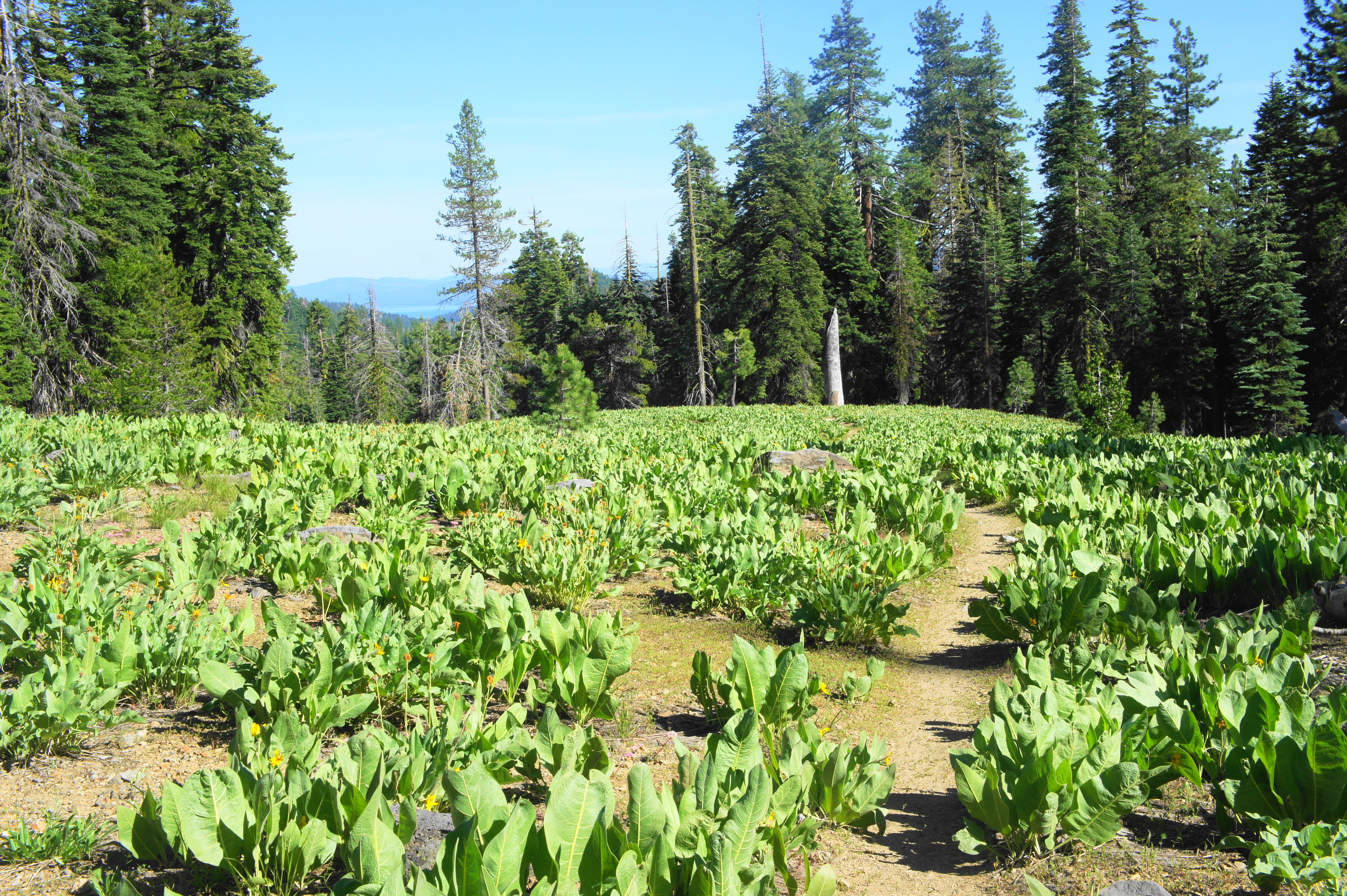
From the trailhead, the route to Terminal Geyser, Little Willow Lake, and Boiling Springs Lake follows the southbound PCT as it cuts westward between the road on the right and Hot Springs Creek down to the left. As a set of rushing cascades appear down in the drainage below, the trail reaches a fork; stay left on the PCT, which proceeds to drop down through the woody ravine to a sunny boardwalk that traverses a grassy meadow. Attractive corn lilies are the most prominent plant of interest; these perennials can grow to six feet and are commonly found at areas above 5,000 feet in California.
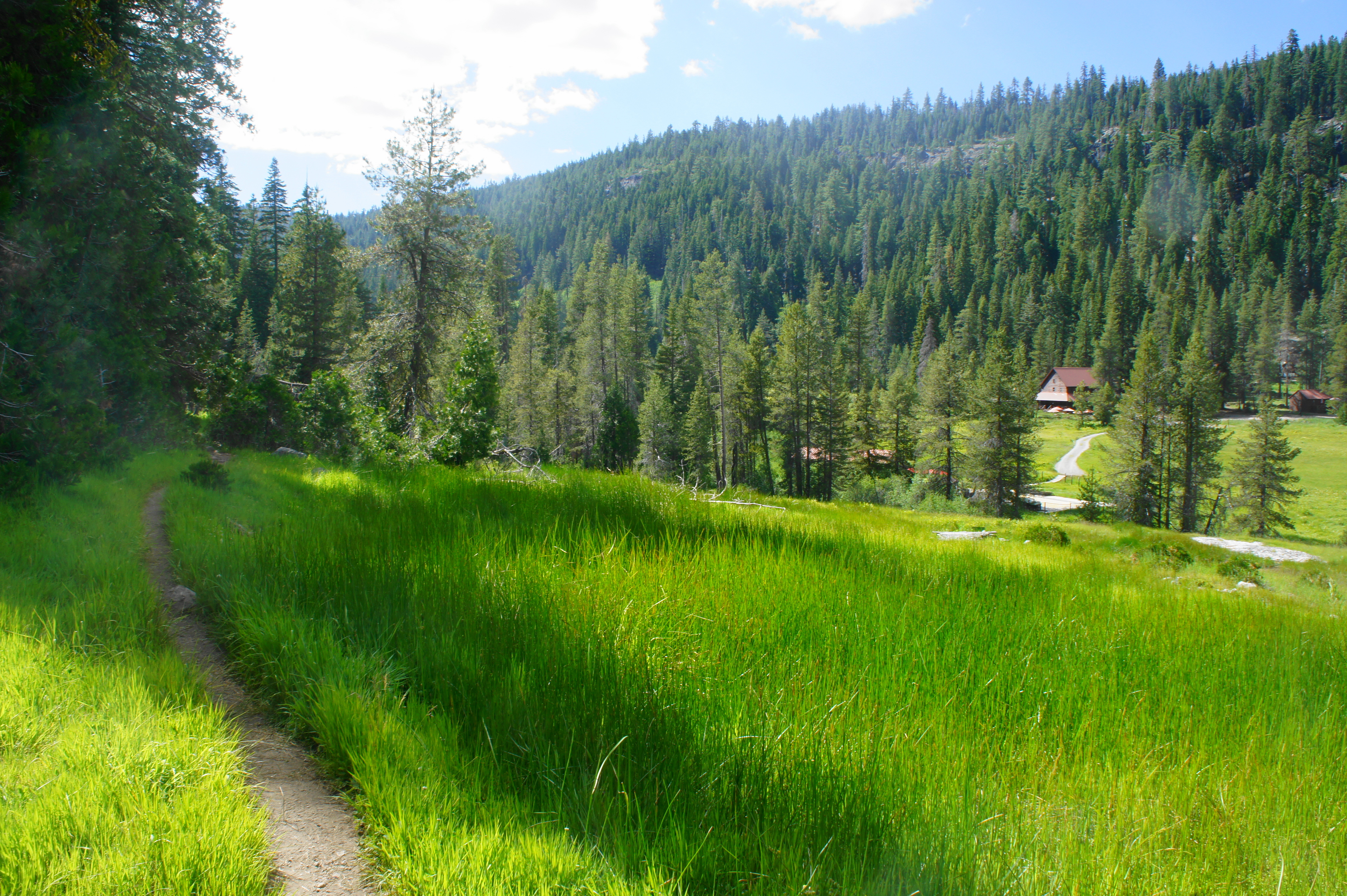
After a short open section, the trail hugs the southern flank of the meadow and returns streamside at about ¼ mile. Minutes later, the PCT bears south and crosses a wooden bridge over Hot Springs Creek. The trail beyond begins to climb a wooded hillside. At 6/10 mile, the trail skirts a minor stream with open views down to Drakesbad Guest Ranch. At first glance, it appears to be a normal creek; but with a closer look, one begins to notice the bronze sheen of the water and—in certain lights—hot steam rising from the water. This is no normal stream after all; rather, it is a hydrothermal spring emerging out of the earth below.
Beyond the hot spring, the narrow path descends mildly to the trunk of a massive incense cedar and the hike’s second trail junction. Stay left, following the signs for the PCT and Terminal Geyser. The trail beyond climbs mildly to a third fork at 7/10 mile; bear left again as the route to Drake Lake bears right over a relatively freshly-cut wooden bridge.
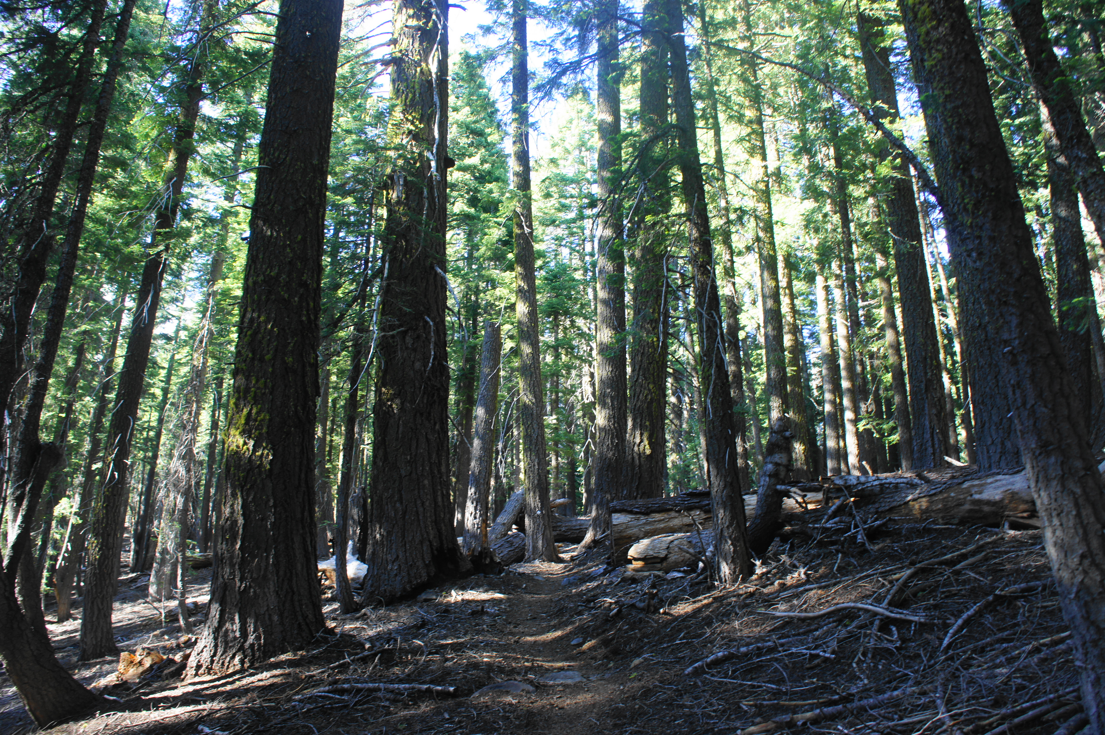
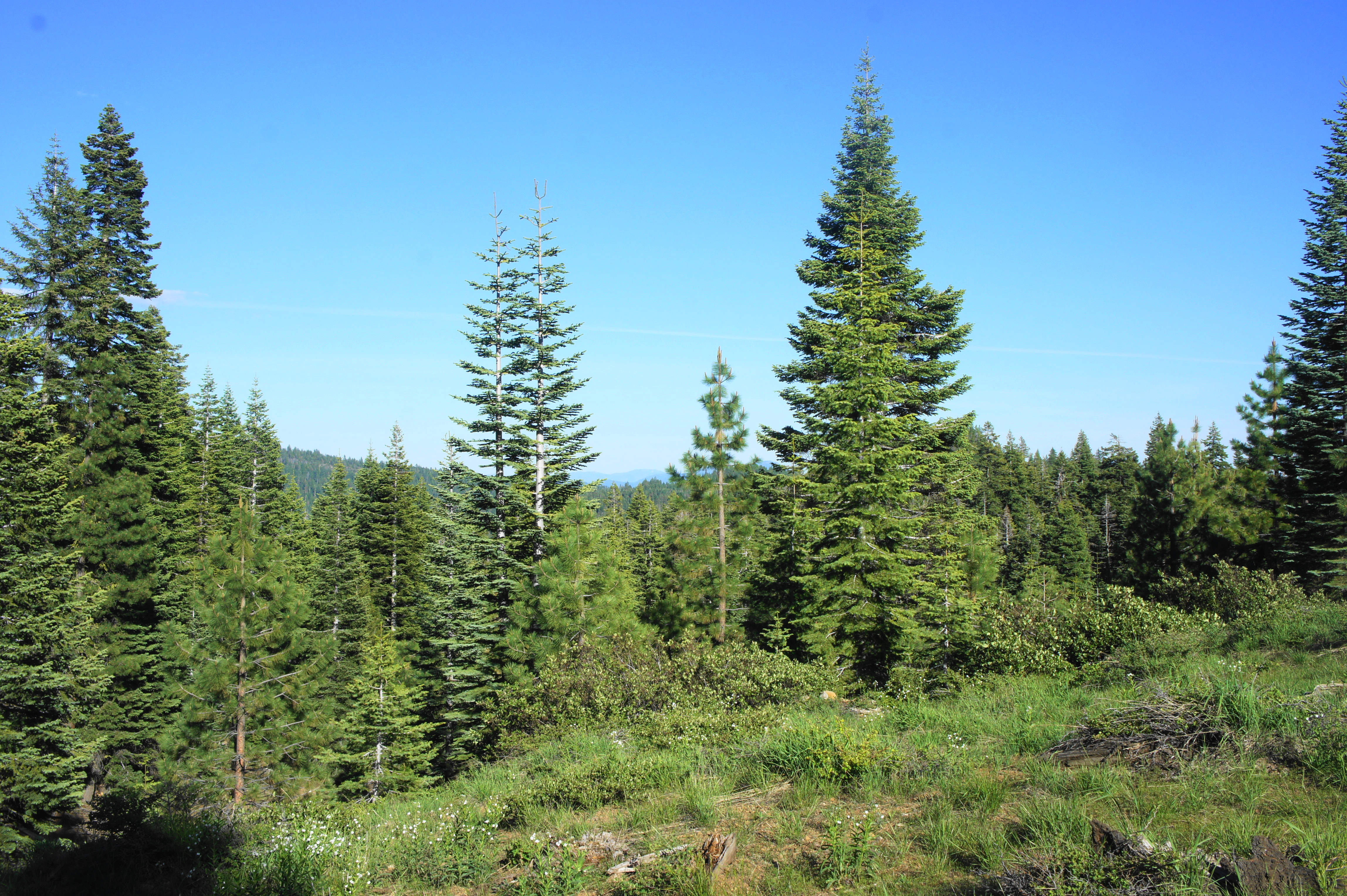
By now, one of the most notable features of the mixed conifer forest is the smattering of fallen branches and trees that litter the ground. While some conifers in the area have been burned or killed in some other way, much of the debris is owed to cladoptosis, the regular shedding of branches to conserve the trees’ resources and build drought resistance.
The PCT bears uphill at a mild incline and reaches another junction at 9/10 mile. Here hikers can bear right toward Boiling Springs Lake, but the route described here stays left on the PCT, saving the boiling lake for the return journey. Another ¼ mile up the trail, there is a second right-hand turn heading to the geothermal lake, which is now partly visible through the forest cover. Stay left again, continuing on the PCT as it gradually climbs a woody ridgeline.
Manzanita bushes become more ubiquitous as the trail ascends a rocky hillock. By mile two, hikers start to gain broad views of Warner Valley, with Flatiron Ridge, Pilot Mountain, and Saddle Mountain beyond. A couple of spurs on the left offer a nice spot to rest and soak in the vistas. At the right angle, one can also make out Lassen Peak (10,457’), the mainstay of the park, off to the northwest.
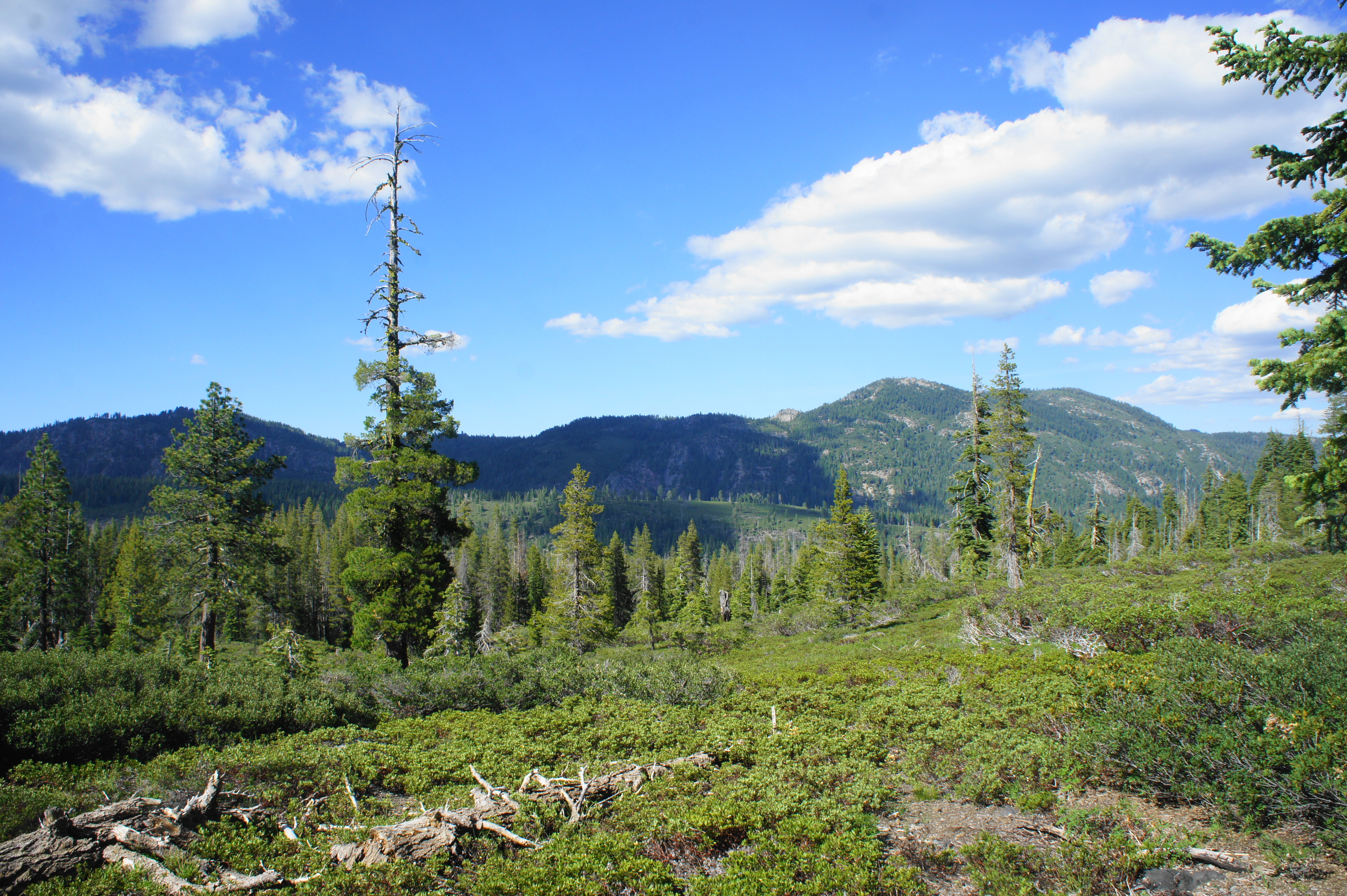
At 2.25 miles, the PCT begins to descend, crossing eventually into a splendid, remote meadow dotted with (what I think are) arnica flowers. A window through the trees to the southeast provides views of Lake Almanor in the distance. The wooded summit of Kelly Mountain also comes into sight, and the trail begins to descend down a steeper slope as the sea of flowers continues on the left. At 2.65 miles, the trail forks again at a double junction: stay straight at the first, then bear left at the second: this is the 1/3-mile spur to Terminal Geyser.
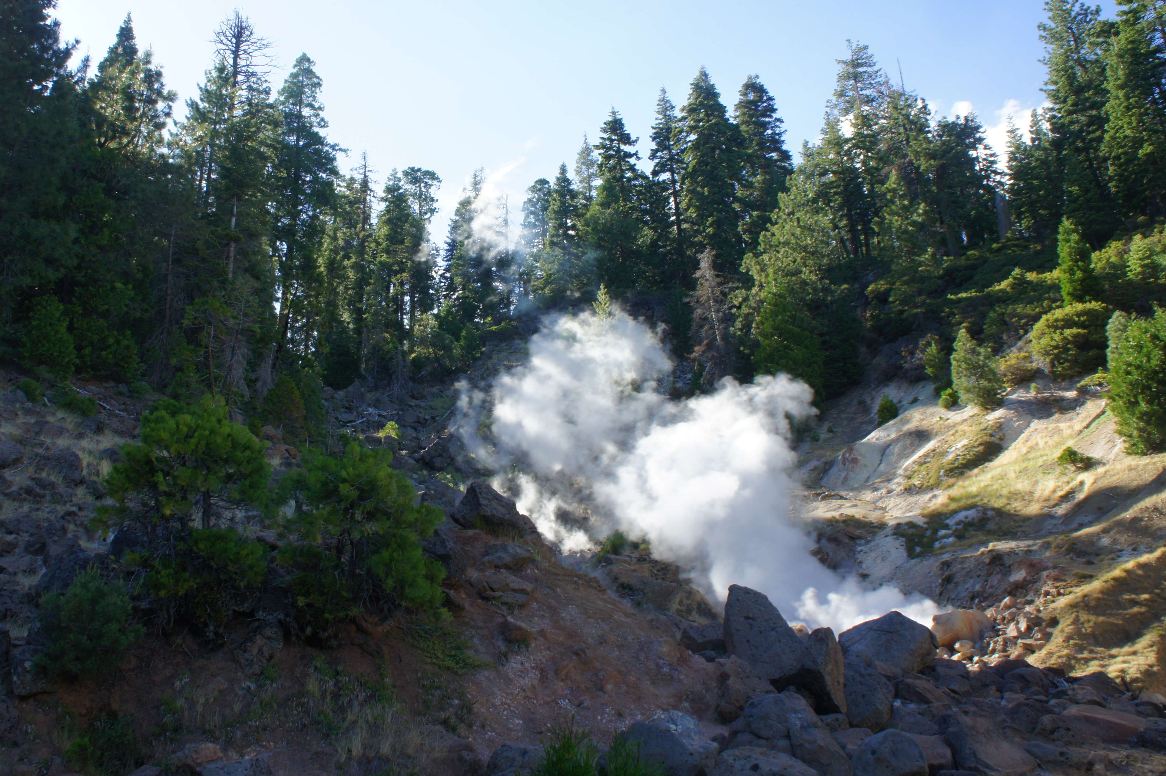
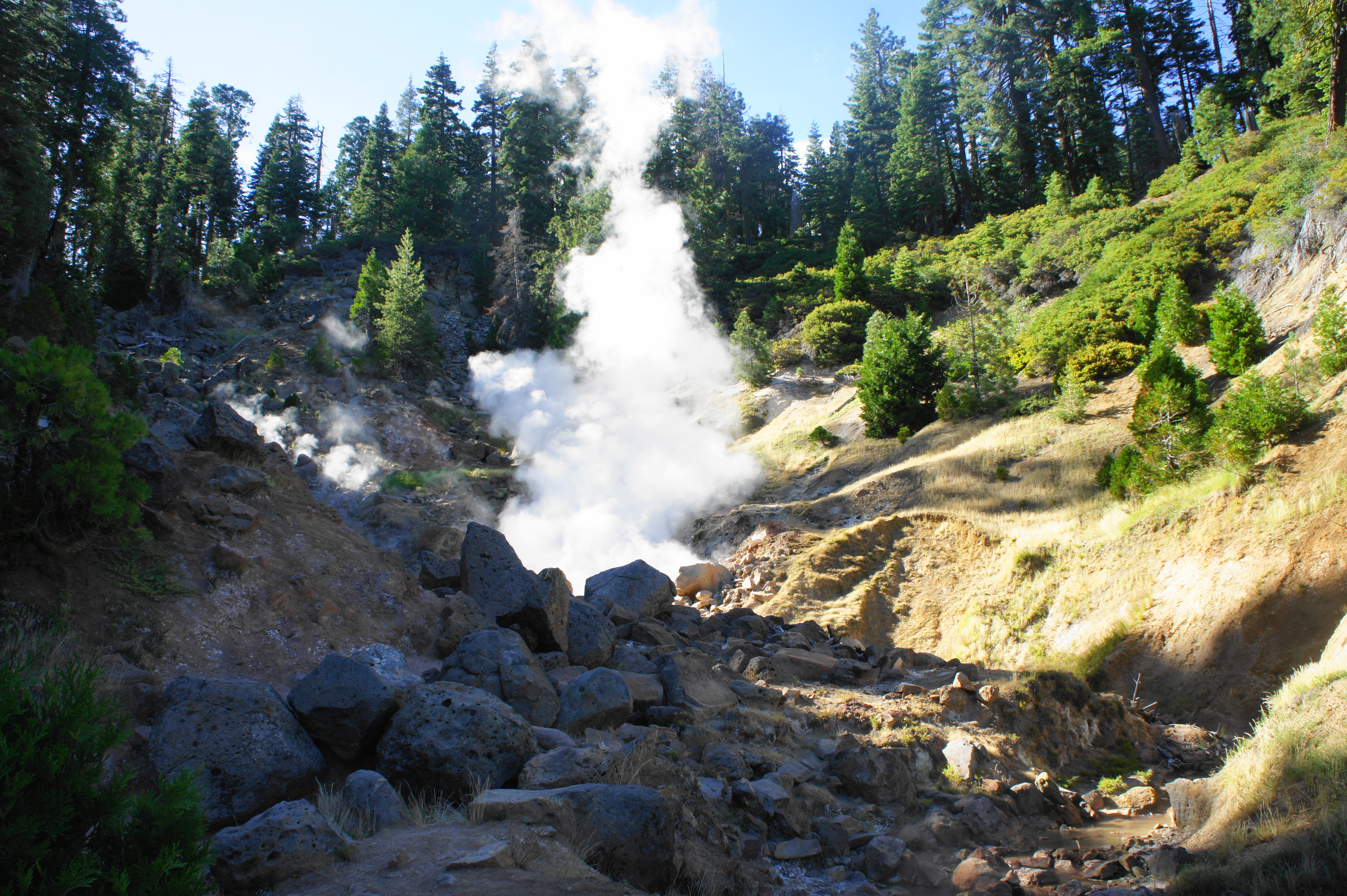
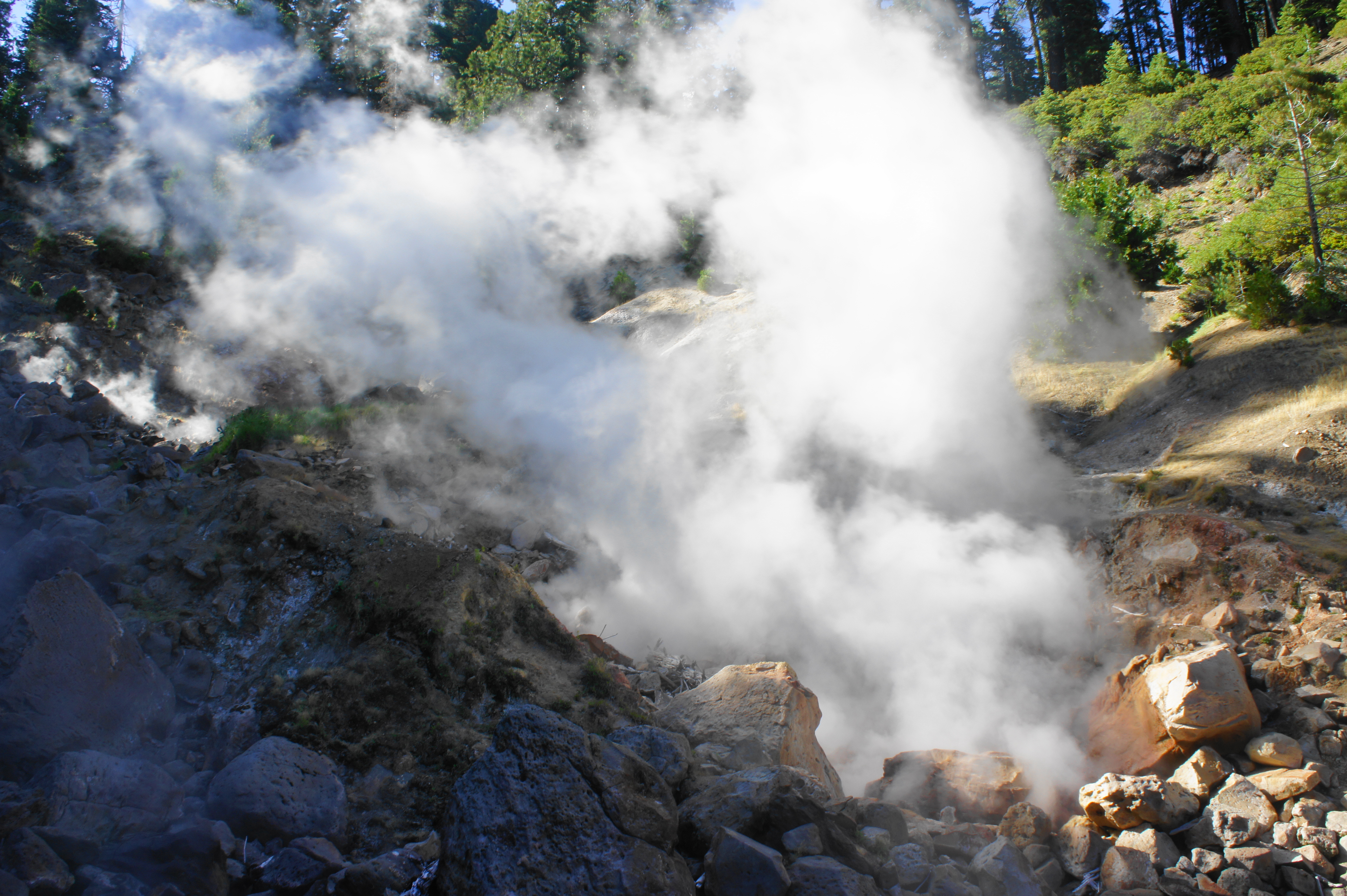
This spur trail is the steepest section of the hike. While the steam of Terminal Geyser comes into view to the left, it is inaccessible from this level; the trail first drops precipitously to a lower shelf and then sharply bends to the left, wrapping around to the western flanks of the Willow Creek drainage. At 3.0 miles, the spur ends at a small notch in the hillside, where the bubbling hot vents of Terminal Geyser spew a concoction of earthly odors and blistering steam. Despite its name, it’s not technically a geyser – rather, it’s a steam vent – but one can hear and see the bubbling waters spilling out from underground.
Terminal Geyser to Little Willow Lake (1.5 mi.)
Terminal Geyser is a worthy turn-around point on its own, so hikers can return to the trailhead from here for a respectable 6-mile round-trip. But the determined can continue onward down the PCT to the southern park boundary and Little Willow Lake, an even more remote destination.
From the geyser, retrace your steps—up the steep hillside—back to the trail junction, then bear left this time as the PCT treads westward across a woody gully and then climbs mildly to another low crest. The hike reaches its highest point—about 6,250’—at about mile 4, then the southbound track descends a pine-studded ridge. At 4.25 miles, what appears as a vast, verdant meadow appears on the right—but upon closer look, one begins to spot water: the ubiquitous grasses cloak Little Willow Lake below.
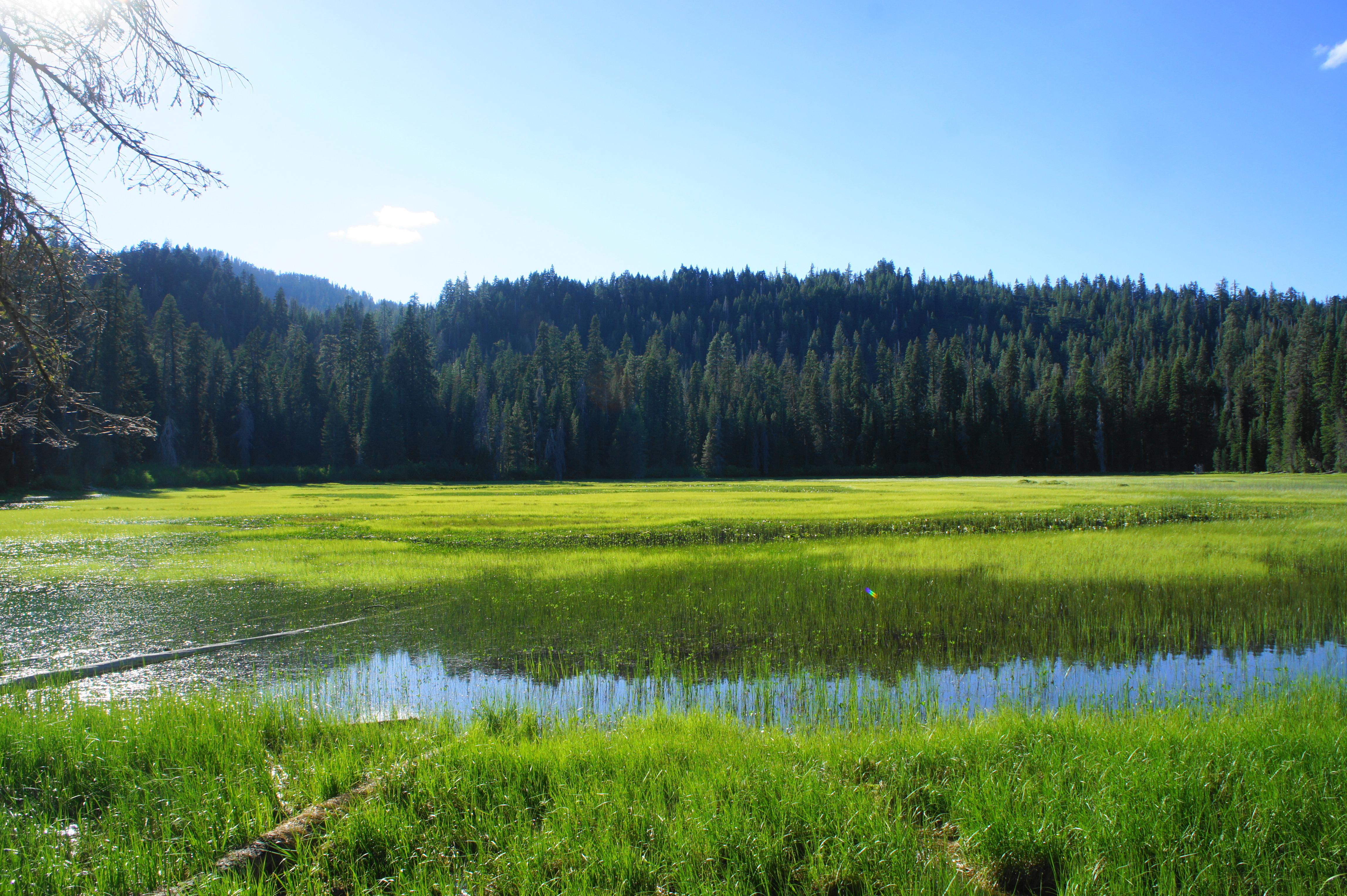
Like many lakes in Lassen, Little Willow lacks a dramatic backdrop (unlike, say, here), yet it is a pleasant enough sight. The predominant peak to the west, though entirely forested, is Sifford Mountain (7,409’). (Note: Beware mosquitoes and other buggy pests in the summertime.) At 4.3 miles, the trail crosses narrow Willow Creek and immediately forks, with the PCT continuing left. Bear right on the Little Willow Lake Trail, which traces another ¼ mile to the park boundary.
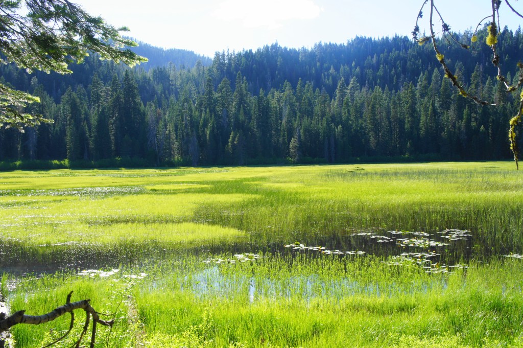
Little Willow Lake 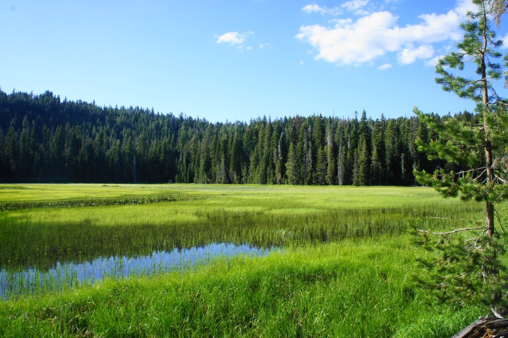
Little Willow Lake
After a couple minutes, the trail leaves the lakeside and bears sharply left up a small ridge to a crest at 4.5 miles. Beyond, the path ends at a spot just outside the park, where a remote forest road comes to its terminus in Lassen National Forest. Wander up the slope on the right for modest views to the southwest, toward the Domingo Springs area and Willow Creek drainage, with the northern Sierras on the horizon.
Little Willow Lake to Boiling Springs Lake (2.6 mi.)
Turn around at this point and head back to the lake, then retrace your steps on the PCT up and over the short ridge back to the junction with the spur to Terminal Geyser. Bear left at this first junction, then left again at the second: instead of following the PCT back toward Boiling Springs Lake and Warner Valley, take the Terminal Geyser Trail. This long and narrow track is impeccably maintained (like the others) and gradually climbs to crest a ridge at 6.3 miles.
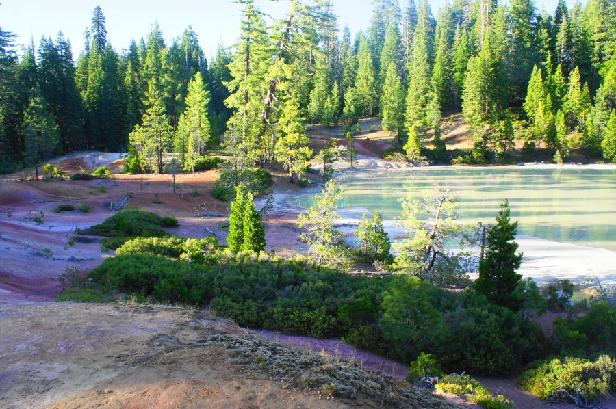
There is another partial view of Lassen Peak as the Terminal Geyser Trail descends toward Boiling Springs Lake, eventually dropping down a set of wooden steps at about mile 7. Turn left at the junction at 7.1 miles, bearing onto the Boiling Springs Lake Loop. This short trail drops to clear a wood-choked ravine and then ascends to a high rim overlooking Boiling Springs Lake below.
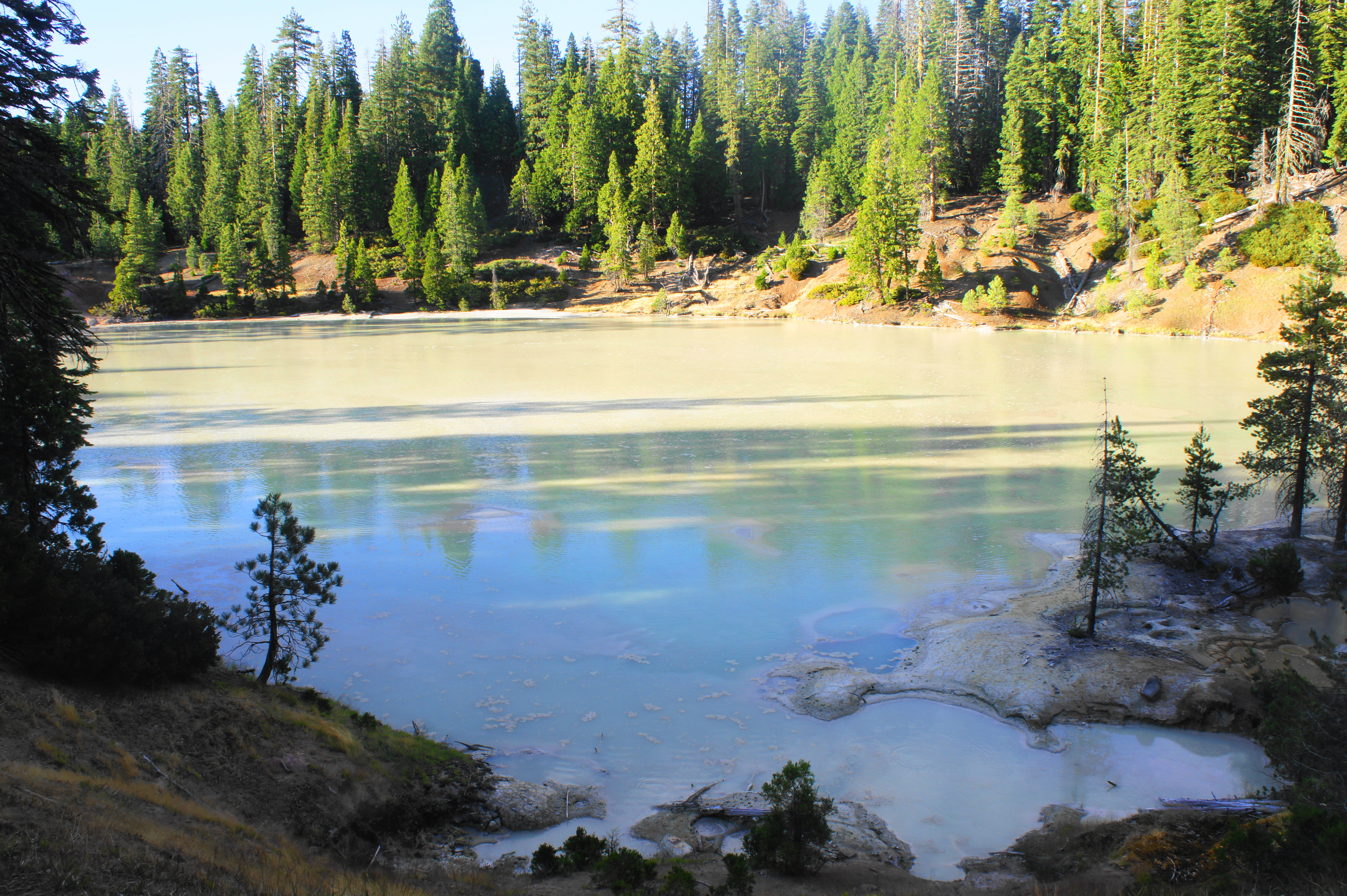
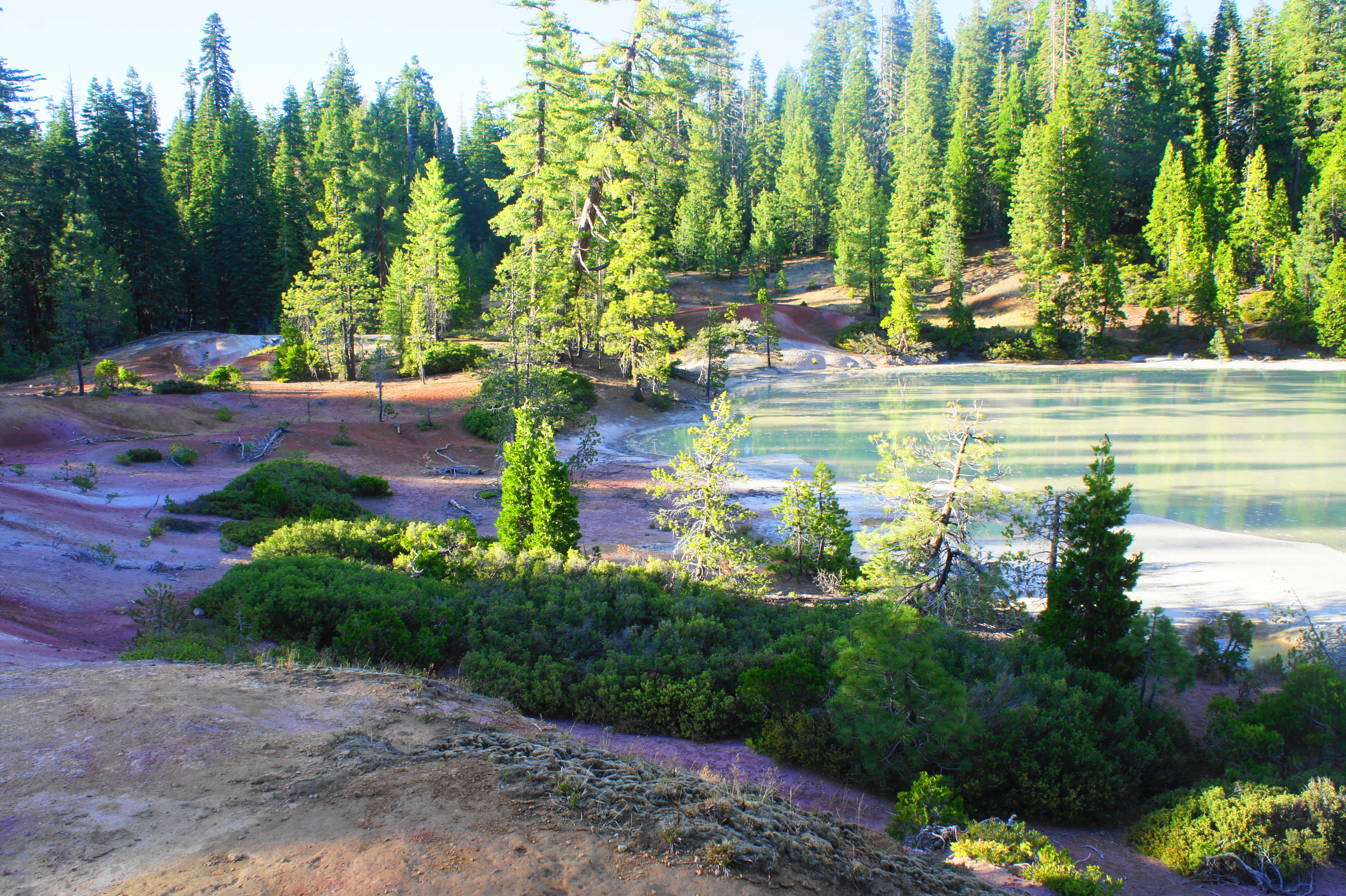
This hidden tarn is not your usual lake: an underground heat source produces hydrochloric acid and sulfurous fumes that combine with water to form a milky froth—and uninviting but beautiful sight. Along the shores there are a series of mud pots: boiling pools that ooze smelly hydrogen sulfide gases.
Boiling Springs Lake to Warner Valley Trailhead (1.3 mi.)
From here the trail skirts the western rim of the lake, never getting too close. Signs strongly discourage—even prohibit—going down to the lake proper…unless you have a potential death wish. The soil around hydrothermal sites is notoriously unstable, so please stay on the main path, demarcated with worn tread and neatly-placed rocks.
As the path approaches the northern end of the lake, it crosses a pinkish-white chalky hilltop then leads down a set of steps away from the lake and across a dry gulch. Follow the winding path for another 1/10 mile to its junction back with the PCT—a familiar sight encountered many miles (and hours) ago.

Meadow view 
The steaming creek
From here it is less than a mile back to the trailhead, across a wooded area of cedars, pines, and firs. The PCT descends gradually to the junction with the Drake Lake Trail and fork at the foot of the giant cedar. Bear right at both points, then traverse the meadow and Hot Springs Creek back to the start. Pulling into the trailhead, hikers will clock in just under 8.5 miles, a good half-day hike in Warner Valley.

Thank you for this blog! I live on the California Central Coast and this hike is doable for me. I will backpack this area and appreciate your trail notes!
Very nice post with many info.
It’s nice to see such nice hikes from the other side of the bowl compared to where I’m based.
I’ve never been here but it’s on my list!
I used to camp there a lot just be on the look out for brown bears as they frequent the lake and tear up the trees by it. Other than the occasional bear a wild cow it really is a fairly quiet camp site, though from what I’ve been told the recent wildfires in the last few years decimated the area pretty badly and Chester was burned to the ground so I don’t know if it affected the lake or now.
You’re hanging in my backyard!
You have steam vents in your backyard? Where can I get one? 😛
Good one
Pingback: Devil’s Kitchen Trail (Lassen Volcanic National Park, CA) | Live and Let Hike
Pingback: Drake Lake Trail (Lassen Volcanic National Park, CA) | Live and Let Hike
Pingback: Lassen Volcanic Center, California |