
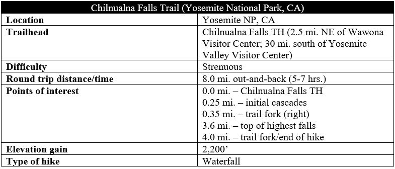
Yosemite National Park is the land of towering waterfalls—although seeing them often comes with a price: contending with throngs of other visitors for the best look at the majestic drops. Yet this is not the case everywhere: lesser-known waterfalls such as Carlon Falls or Foresta Falls draw fewer crowds. So too with mighty Chilnualna Falls, a multi-tiered drop in the Wawona area, near the southern reaches of the park. Here the spring runoff creates thunderous cascades, with the tallest freefalling around 250 feet. The Chilnualna Falls Trail offers access, reaching an initial set of cascades—impressive in itself—before rising steadily to the top of the highest drop two other beautiful torrents. The glen just east of the trail fork at mile four, set just below the final falls, is a magnificent place to have lunch (or perhaps camp) and serves as the turnaround point for the hike.

The hike
The Chilnualna Falls Trailhead is tucked away in a wooded valley in southern Yosemite National Park that is dotted with scores of vacation homes (a surprising sight in a national park!). From Wawona Road, bear east on Chilnualna Falls Road, situated just north of the Wawona Visitor Center, Wawona Hotel, and crossing of the South Fork of the Merced River. Follow the road for about 2.2 miles, just before it crosses Chilnualna Creek. Here, off to the right, there is a small parking lot that is marked as the trailhead.
Park here, and then walk north to return to Chilnualna Falls Road. Bear right, coming to an intersection with a paved road heading uphill to the left, while the main track turns to dirt and drops down to the creek. This is the official start of the Chilnualna Falls Trail, a narrow singletrack that threads between the two roads.
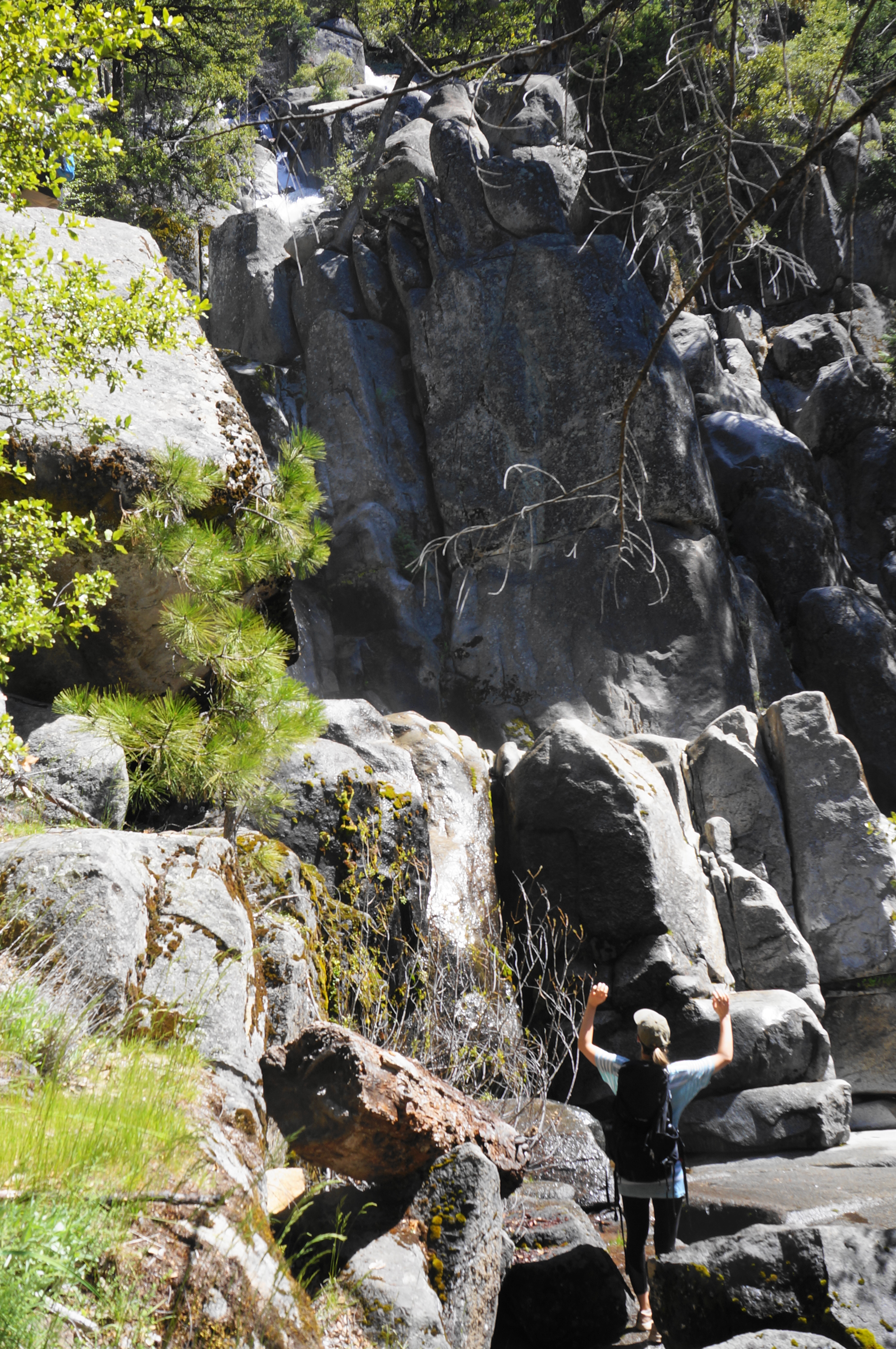
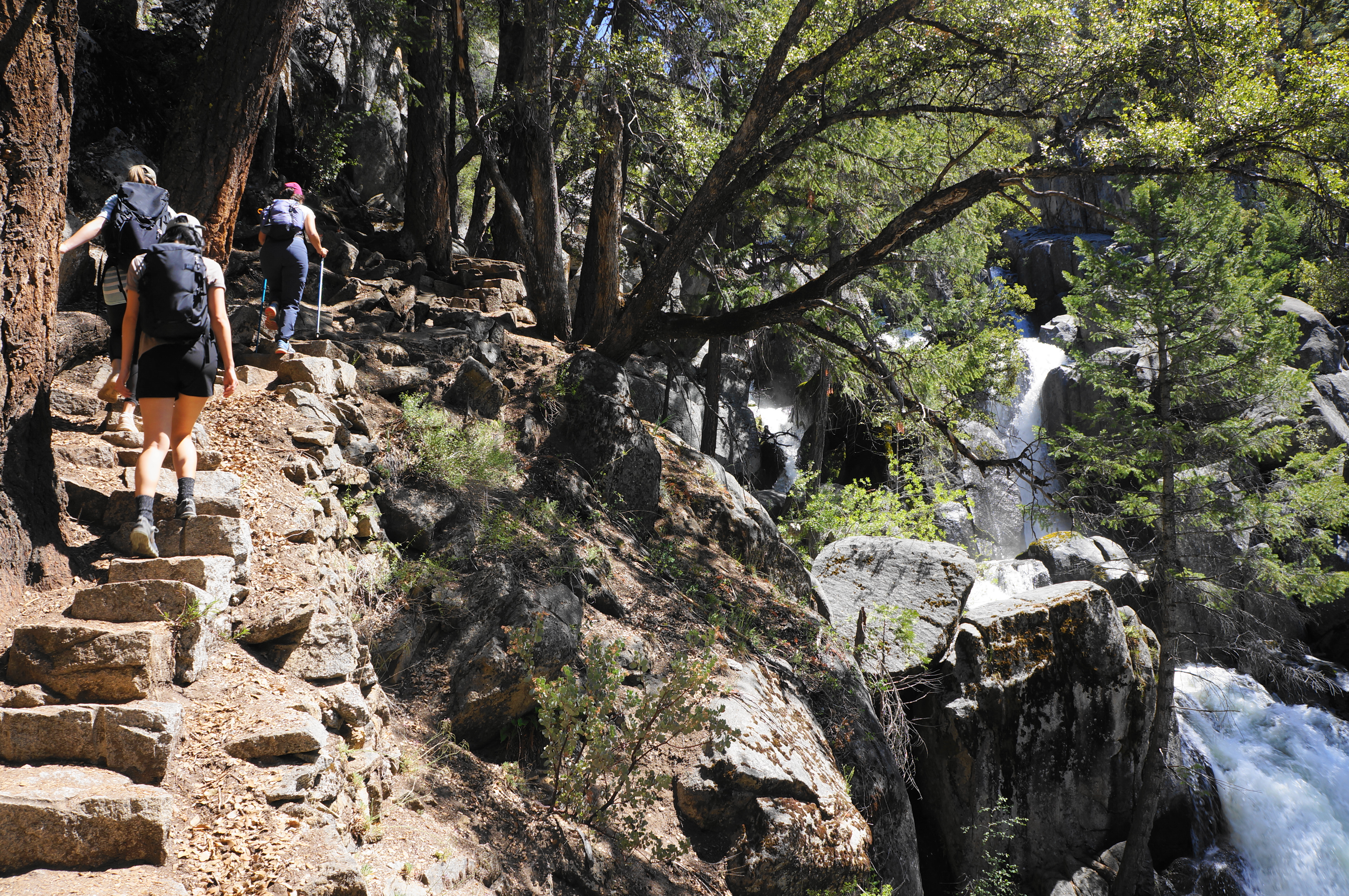
Hikers need not wait long for rewarding views, with the trail quickly rising to a creek-side section with thundering cascades. Admittedly, the shadows and dense tree cover make photography difficult, but a series of spur trails offer access to the base of impressive drops, with one or two surpassing 20-30 feet. In spring, this place is absolutely booming, with the entire weight of Chilnualna Creek pouring down the hillside. This area is sometimes called Lower Chilnualna Falls.


Head up a steep and narrow staircase, hugging a cliffside on the left bank of the creek, then enjoy the up-close views of the cascades before the trail suddenly swings left around a switchback, moving away from the creek. Hikers will come to a junction at around 0.35 miles, where the stock trail comes in from the left; head right to continue toward Upper Chilnualna Falls.
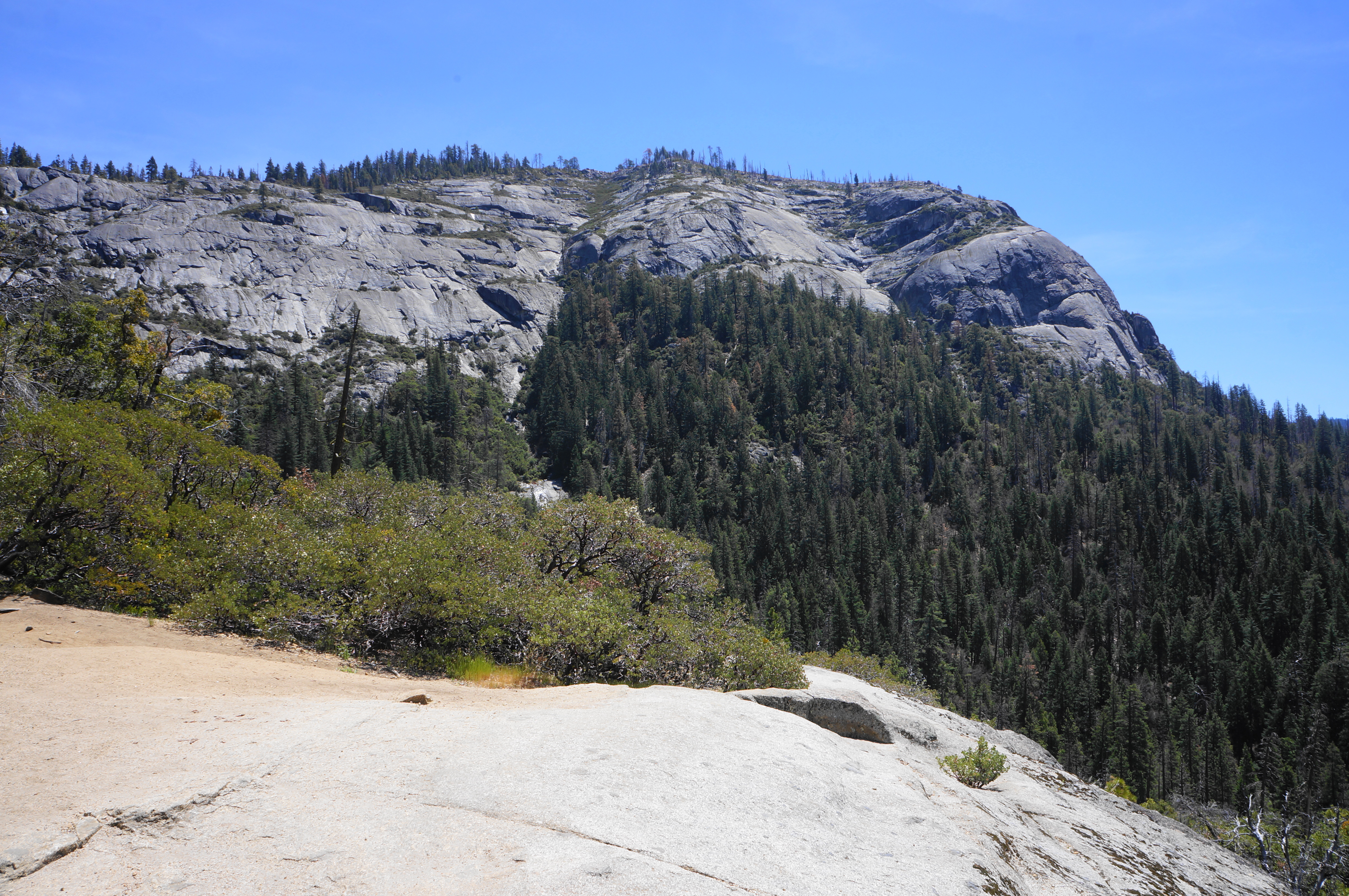
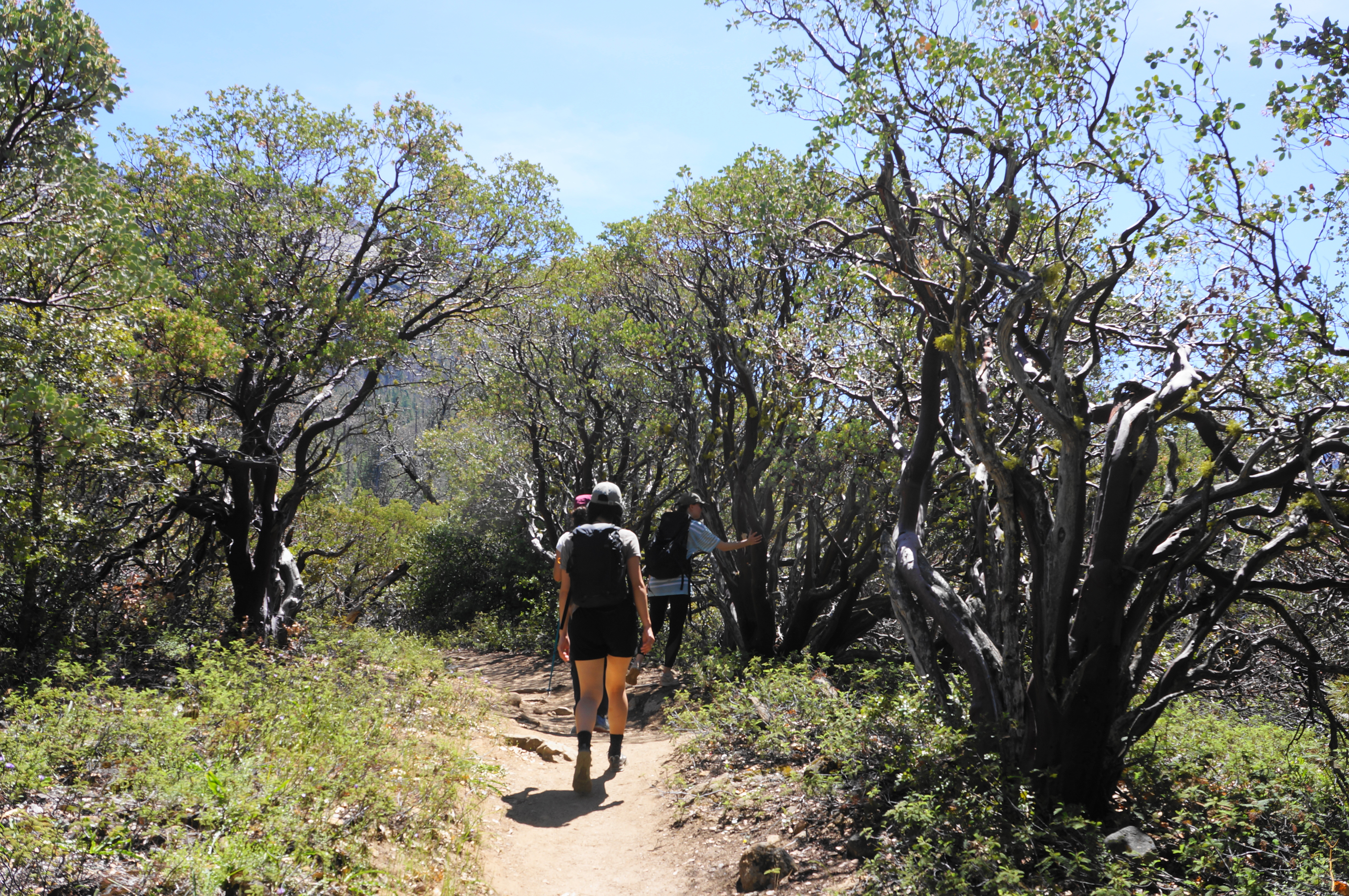
Hikers have to work considerably harder to get to the upper falls, ascending about 2,000 feet over the course of 3.5 miles. Much of the walk is forested, but the open sections can be very hot in the summer months. As the path rounds a right-hand switchback, hikers get their first good views across Wawona Valley to the south and west. Coursing through a manzanita stand brings hikers to a granite slab, at about 7/10 mile, that offers an unobstructed look at Wawona Dome (6,897’), the most striking granite face in the area.
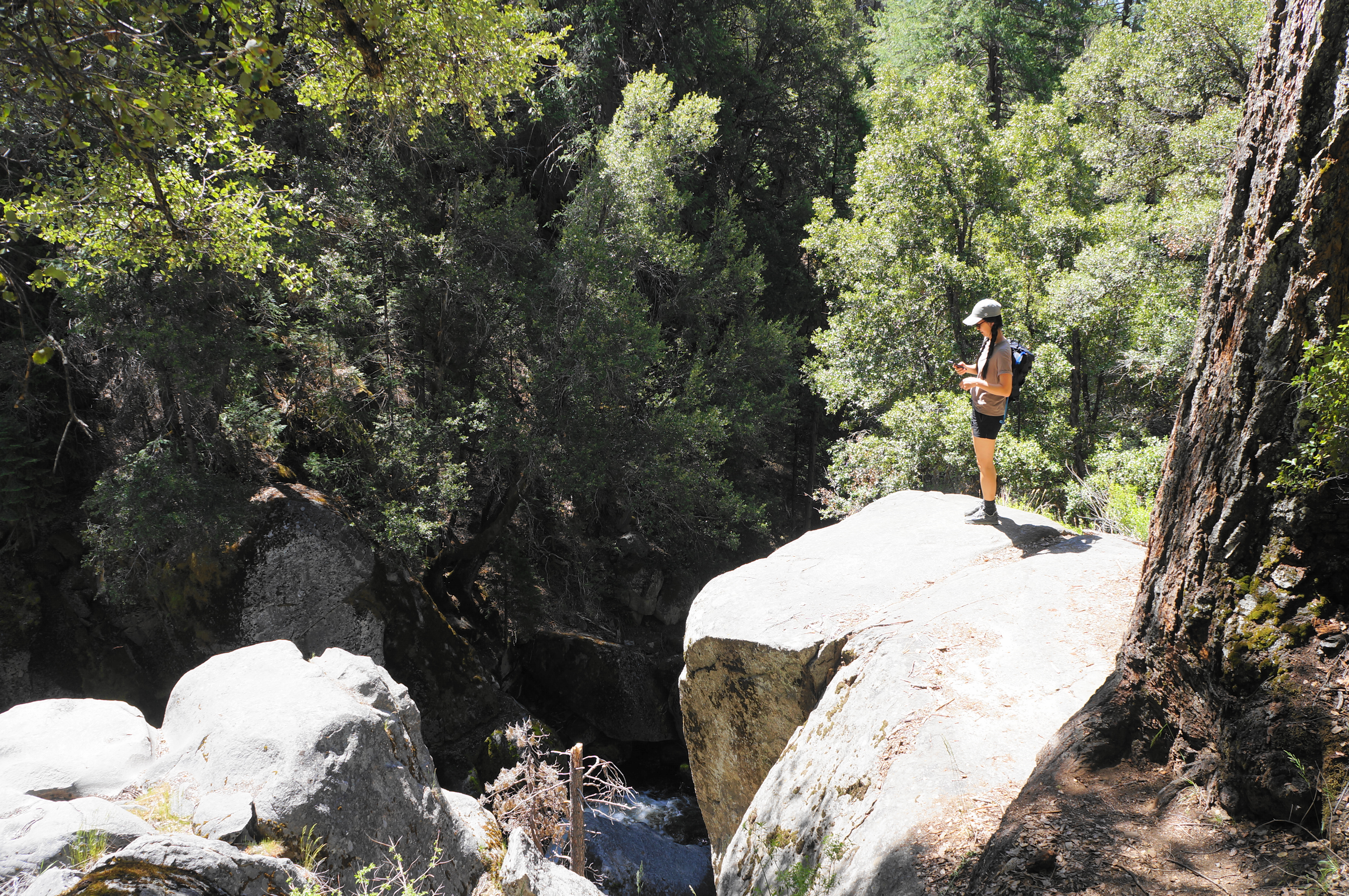
As the hikers enter a thicker coniferous layer, the Chilnualna Falls Trail rises within earshot of the rumbling stream and traverses a minor tributary at about the one-mile mark. For a brief period the route levels off and heads east to return to Chilnualna Creek. A couple spur trails offer access to the stream, making for a nice snack spot.
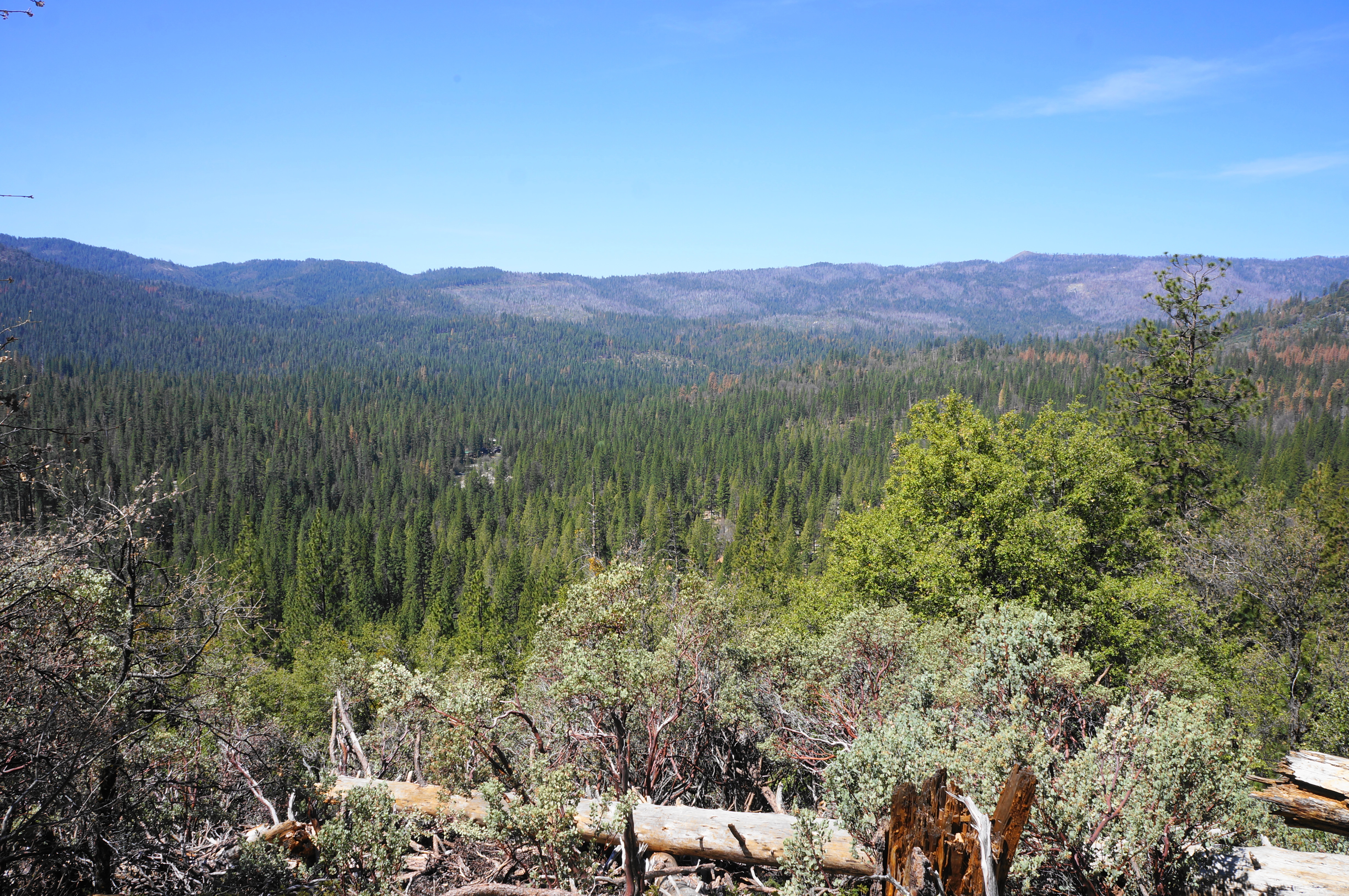
There is much more uphill to come, however, and the incline picks up considerably after about 1.6 miles. Now a considerable distance from the creek, the route switchbacks up a brushy and forested slope, occasionally offering clear vistas of Wawona Dome and the valley below.

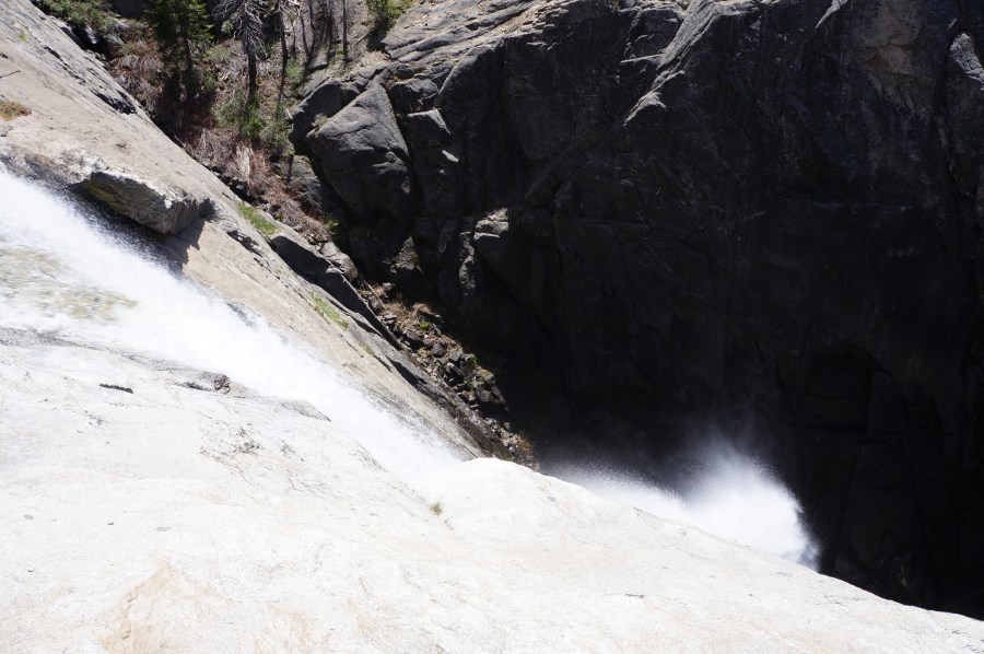
It is not until about 2.6 miles that hikers catch their first glimpse of Upper Chilnualna Falls: the highest cataract drops around 250 feet but remains very distant and is partially blocked from view by a protruding outcrop.
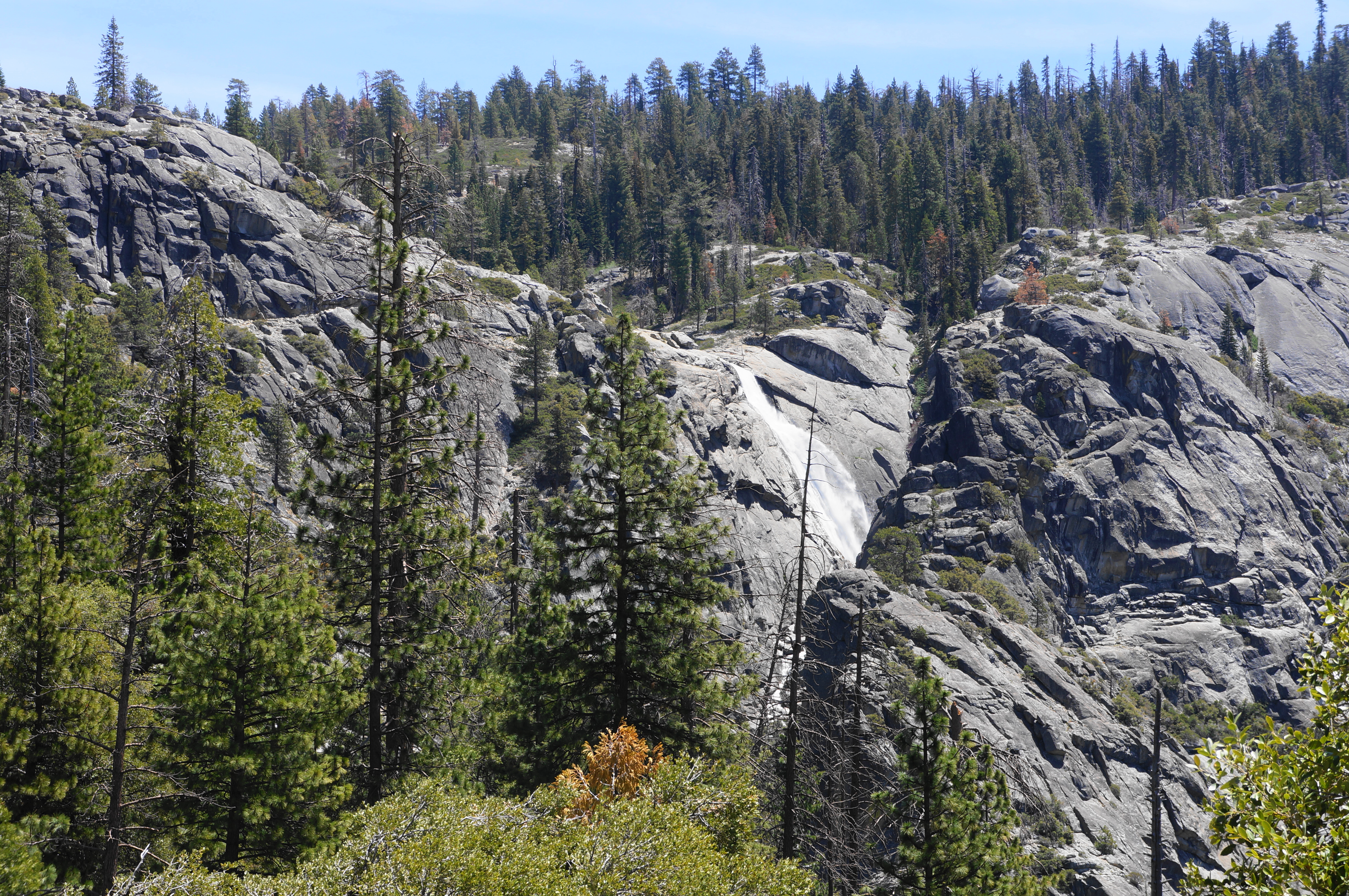
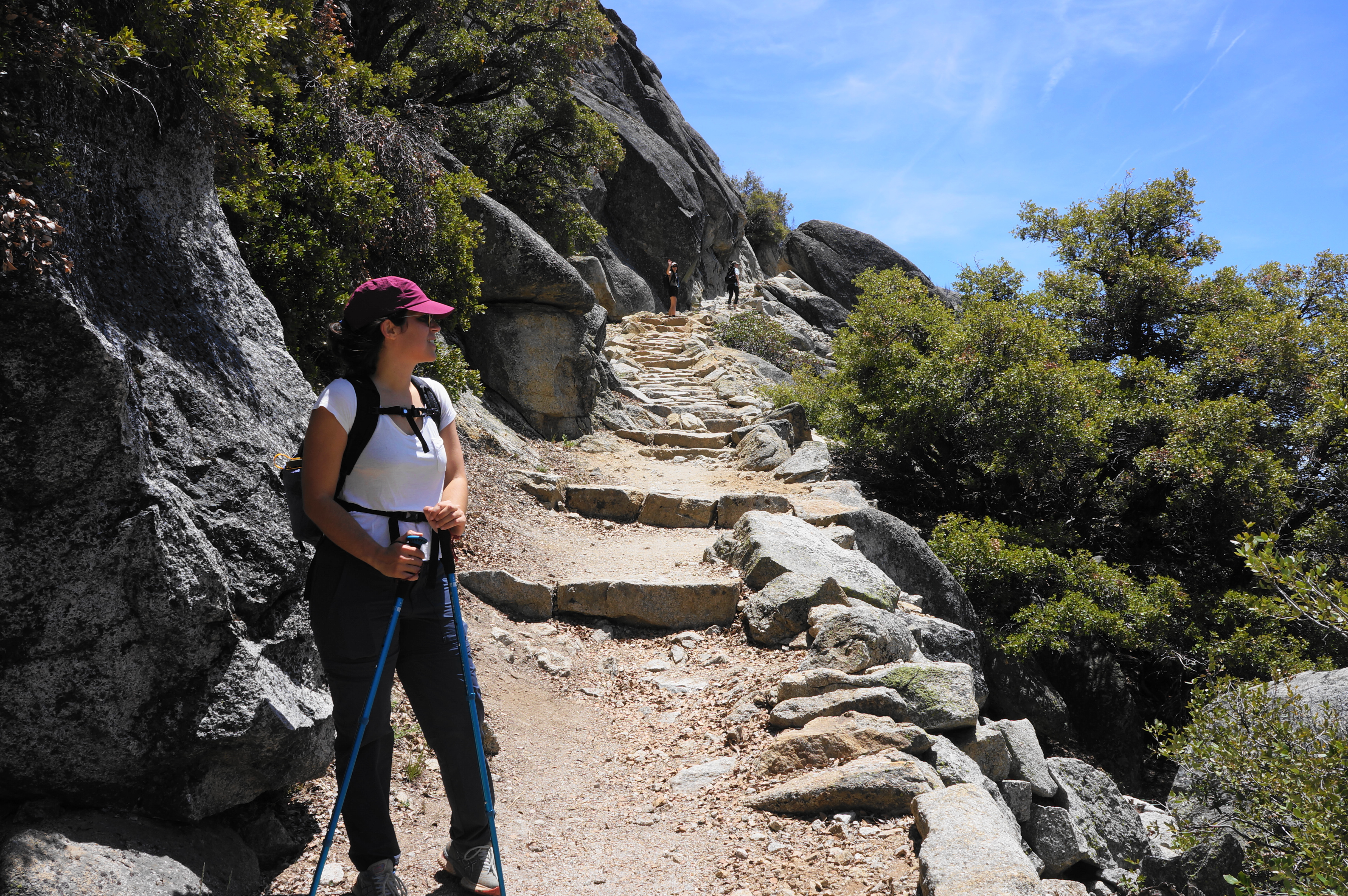
The views improve upon crossing another tributary at about 2.95 miles, then the trail settles into an eastward tread toward the falls. At 3.5 miles, the path turns into an epic staircase resembling the famous ledge section of the High Sierra Trail in nearby Sequoia National Park. This final stretch offers excellent views of the valley and culminates at the top of the highest cascade at Upper Chilnualna Falls.

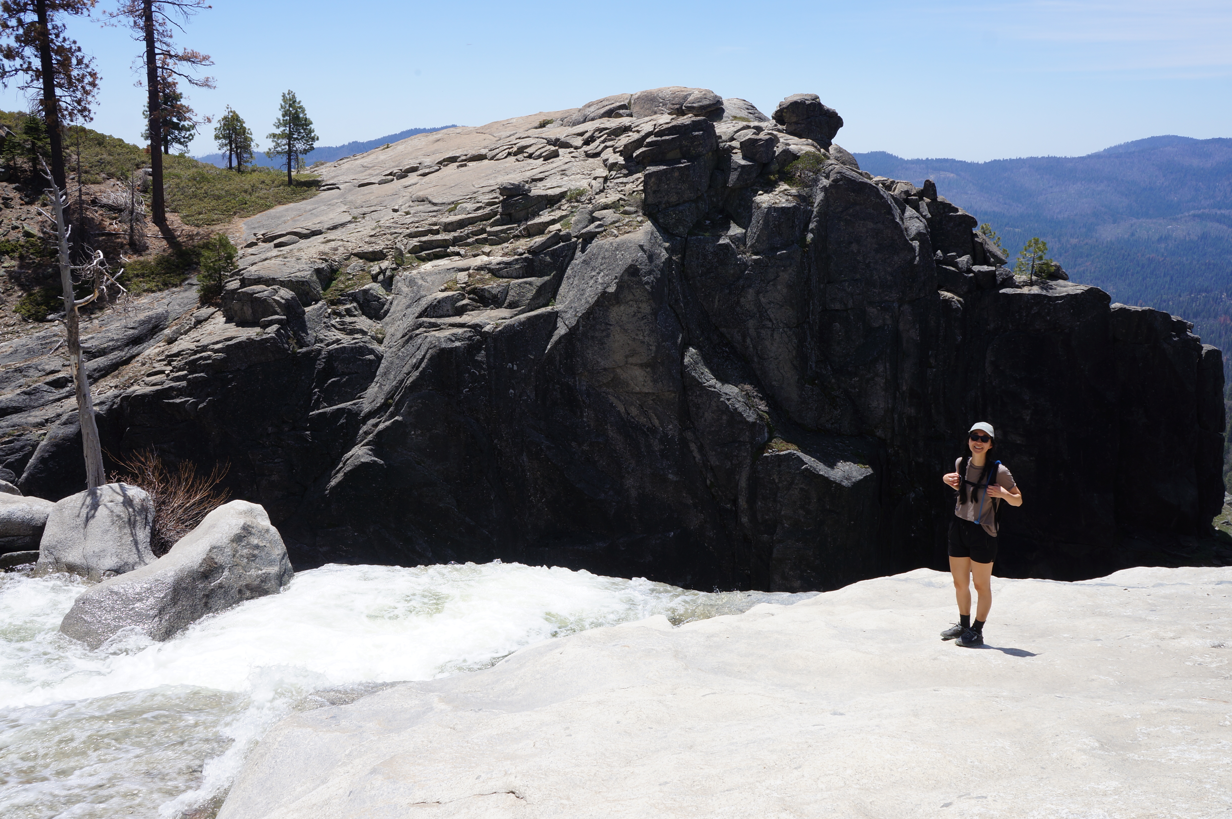
It is very difficult to get a full view of the falls, and only the bravest souls will peer over the edge to the tight gorge below. But one can still enjoy the thundering sound of the falls—as well as a look upstream at a smaller but still mighty drop of around 80-100 feet. This middle fall can be accessed by way of the continuing trail, which approaches the base before cutting left and up a clutch of switchbacks to the top of the cascade.


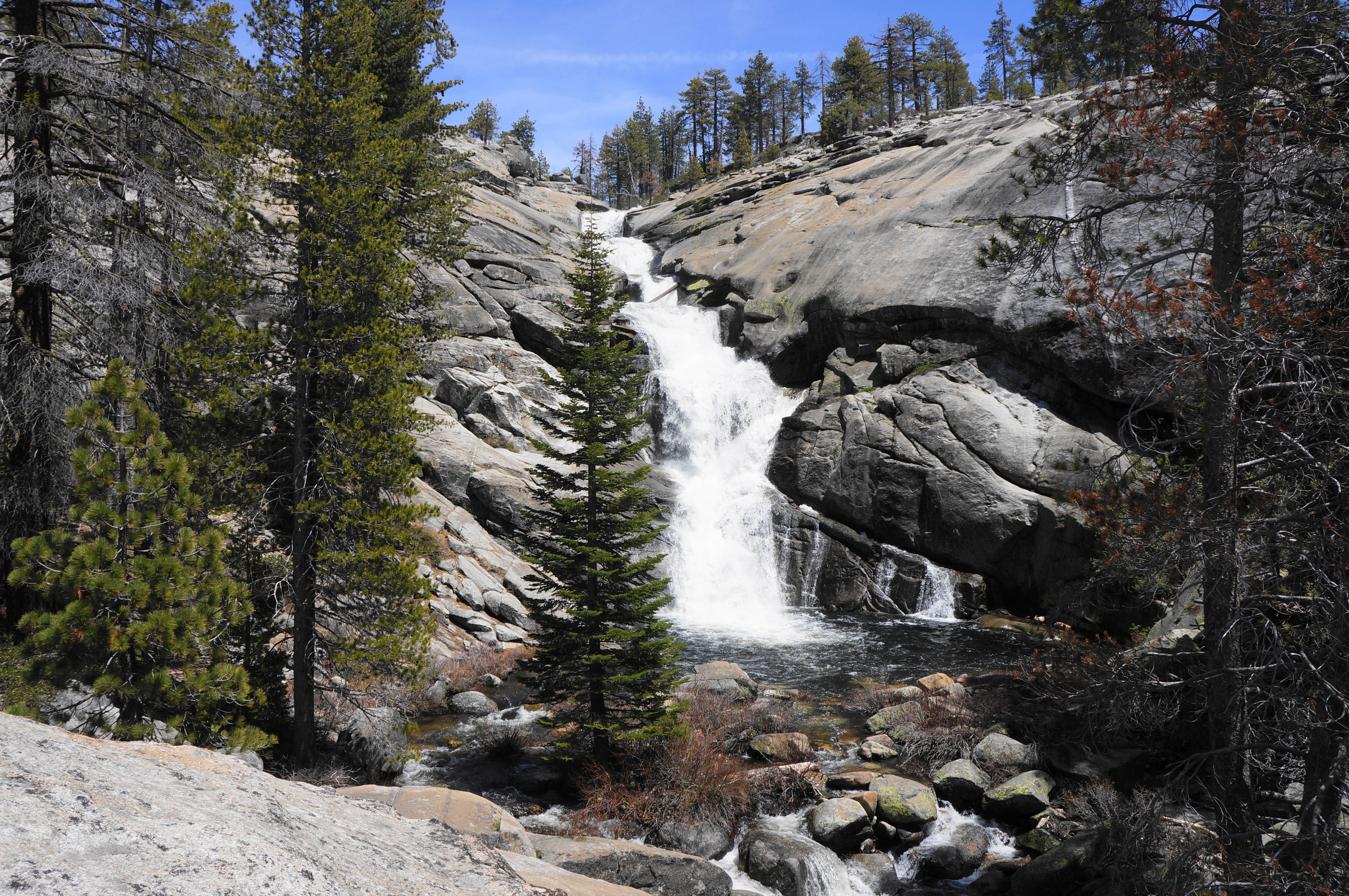
Many will choose to turn around at the first two falls, but it is worth pushing on to the trail fork (four miles from the start), which marks the official end of this day hike. Here hikers enter a secluded glen where two branches of Chilnualna Creek meet. Heading off-trail leads down to the confluence, and it is worth exploring a few minutes upstream on the right branch to get a full view of the final cascade: a multi-drop falls that terminates in an inviting pool.
The trail of course continues farther beyond here, rising to cross Chilnualna Creek again above these final falls and connecting with a broader network of trails leading to Glacier Point, the Clark Range, and beyond. But most day hikers will want to turn around at this point, as it is a long and tiring journey back down.

After enjoying the falls and glen, return the way you came, dropping back past the booming cataract, down the switchbacking trail, and past the initial cascades. All told, the out-and-back clocks in at around eight miles, plus 2/10 mile or so to and from the parking lot to the trail start. This is not quite an all-day hike, but it will take most visitors the bulk of a day to complete.

Pingback: Top 10 Hikes in 2022 | Live and Let Hike