Lassen Volcanic National Park Highway

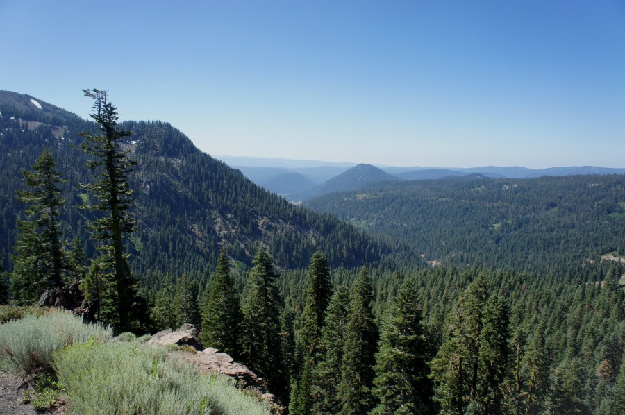
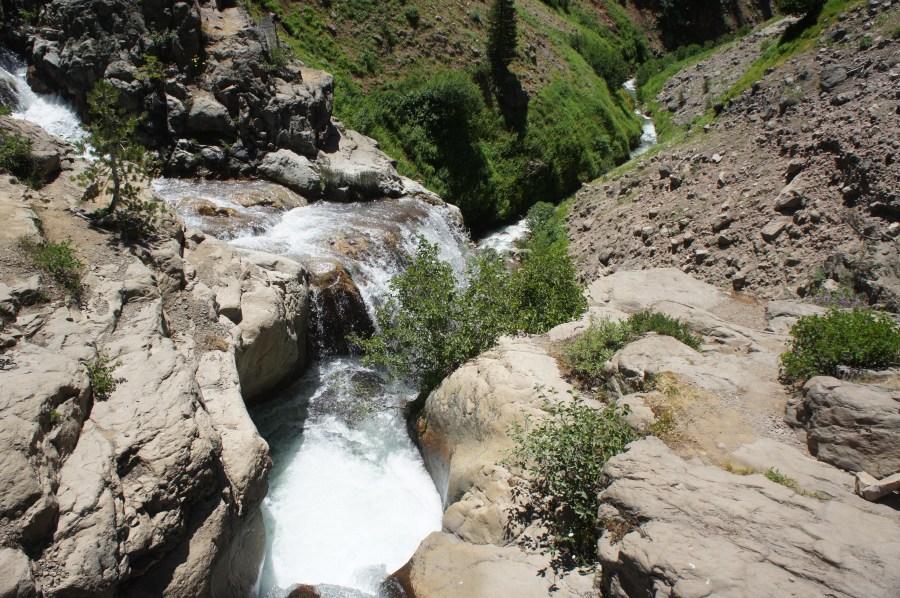
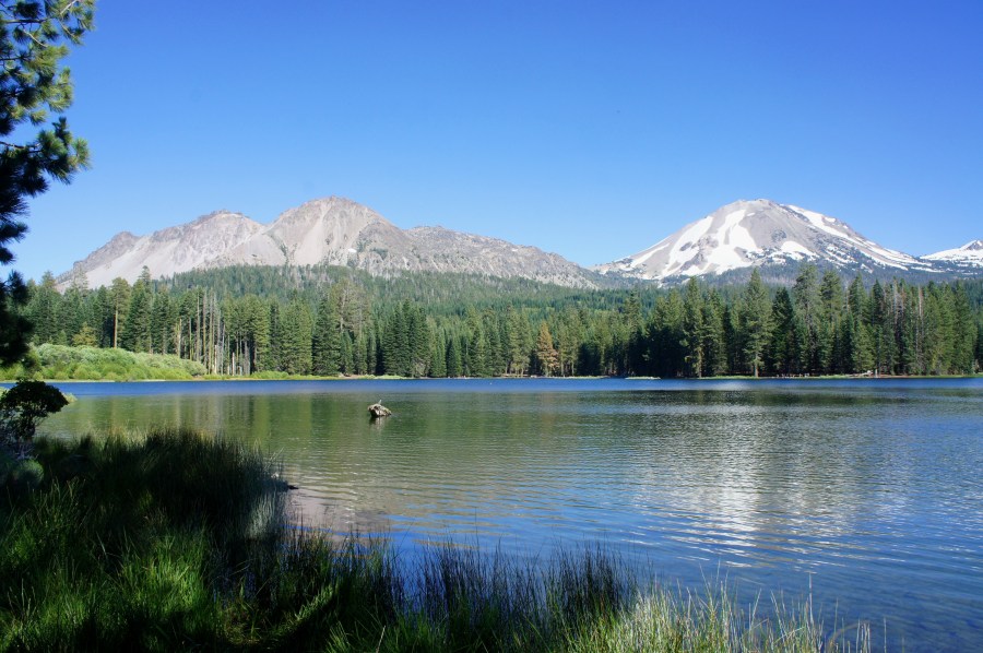
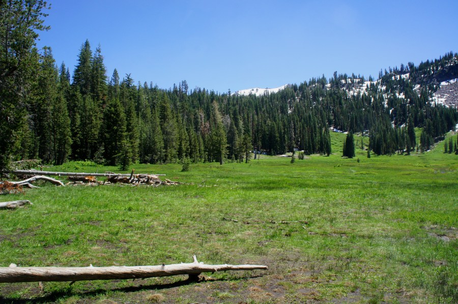
California Route 89—also known as the Volcanic Legacy Scenic Byway or Lassen Volcanic National Park Highway—spends nearly 30 miles weaving through Lassen Volcanic National Park. In addition to circling the park’s namesake (Lassen Peak, 10, 457’), this scenic drive connects low-lying lakes with high-altitude meadows and geothermal features and provides access to more than a …

Continue reading Lassen Volcanic National Park Highway

Mill Creek Falls Trail (Lassen Volcanic National Park, CA)

At 75 feet, Mill Creek Falls is the highest waterfall in northern California’s Lassen Volcanic National Park. Situated just 1.7 miles from the Kohm Yah-mah-nee Visitor Center, the Mill Creek Falls Trail is a popular half-day hike on the park’s southern side. Hugging the slopes of a broad valley, the trail winds up and down …

Continue reading Mill Creek Falls Trail (Lassen Volcanic National Park, CA)

Manzanita Lake Trail (Lassen Volcanic National Park, CA)

Manzanita Lake in California’s Lassen Volcanic National Park brings together visitors of all stripes: photographers, casual hikers, anglers, and kayakers. Around the water, the 1.9-mile Manzanita Lake Trail offers a relatively easy stroll through pine forests and along lakeside beaches, while offering picturesque views of snow-capped Lassen Peak, the park’s volcanic centerpiece. The hike There …

Continue reading Manzanita Lake Trail (Lassen Volcanic National Park, CA)

Paradise Meadows Trail (Lassen Volcanic National Park, CA)

Lassen Volcanic National Park in northern California is most famous for its hellish and tormented volcanic landscape—but you would never know it on the park’s beautiful and green Paradise Meadows Trail. This 2.8-mile out-and-back follows a cascading tributary of Hat Creek as it tumbles through verdant hillsides and lush conifer forests and then culminates at …

Continue reading Paradise Meadows Trail (Lassen Volcanic National Park, CA)

Subway Cave Trail (Lassen National Forest, CA)

Northern California’s Subway Cave in Lassen National Forest is a relative newcomer to the area’s volcanic landscape; it formed less than 20,000 years ago as once-frequent lava flows drained away, leaving behind a wide, subterranean passage. Today it is a relatively popular stop on the way to or from nearby Lassen National Park, situated less …

Continue reading Subway Cave Trail (Lassen National Forest, CA)

Dipsea Trail – Steep Ravine Trail Loop (Mount Tamalpais State Park, CA)

At 2,571 feet above sea level, California’s Mount Tamalpais (known affectionately by locals as “Mt. Tam”) offers splendid vistas of Marin Peninsula and the San Francisco Bay area, as well as Bolinas Bay and the Pacific Ocean to the west. Mount Tamalpais State Park—comprising far more than just the mountain’s three peaks—also boasts more than …

Continue reading Dipsea Trail – Steep Ravine Trail Loop (Mount Tamalpais State Park, CA)

Table Rock Trail (Robert Louis Stevenson State Park, CA)

In his oft-forgotten 1883 travelogue The Silverado Squatters, Robert Louis Stevenson of Treasure Island and Dr. Jekyll & Mr. Hyde lore writes of a “sylvan solitude,” where “the silence was unbroken but by the great, vague voice of the wind.” Far from his native Scotland, the adventure-hungry wordsmith is here describing the quiet, pine-studded mountains …

Continue reading Table Rock Trail (Robert Louis Stevenson State Park, CA)

Rock Spring and Laurel Dell (Marin Municipal Water District, CA)

*The following is a guest post from my friend and old classmate, the lovely Emily Alpert! Perched on the top of Mount Tamalpais, the Rock Spring Trail meanders through meadows, chaparral, and forests. The trailhead offers sweeping views of the white city of San Francisco and the Golden Gate Bridge. In the summer, Mount Tamalpais …

Continue reading Rock Spring and Laurel Dell (Marin Municipal Water District, CA)