The New Wave Loop (Glen Canyon National Recreation Area, AZ)

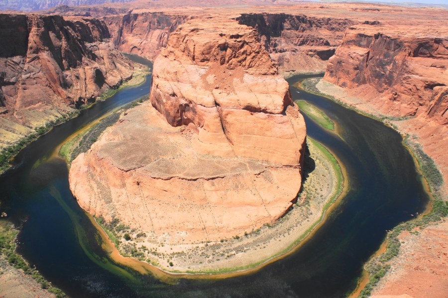
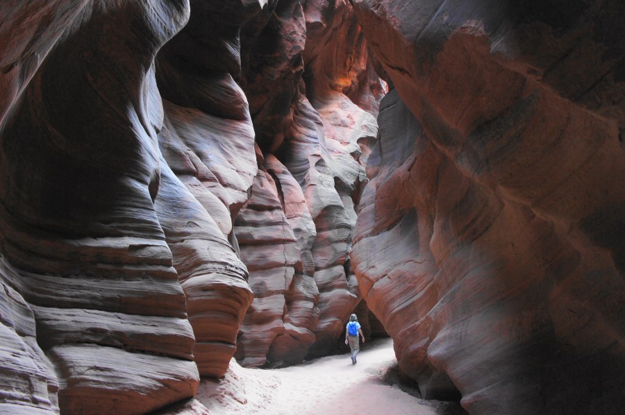
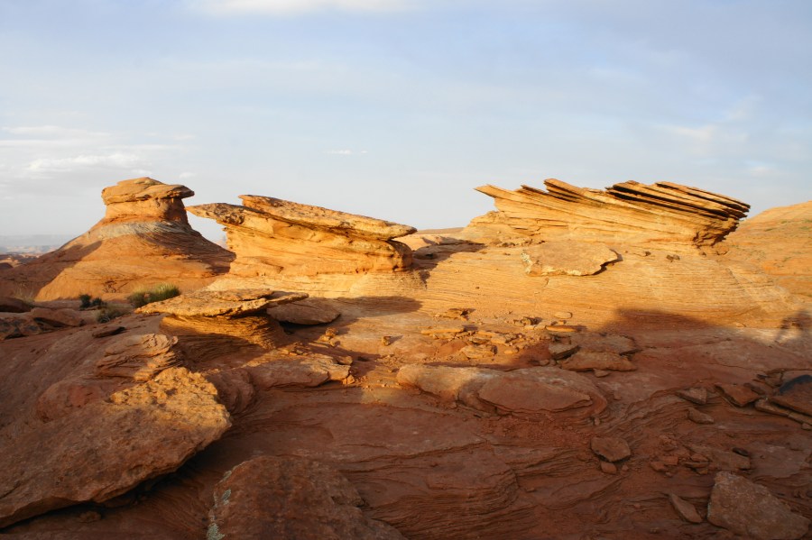
The New Wave, Glen Canyon National Recreation Area, May 2021 The striated sandstone formation known as “The Wave” attracts flocks of photographers and sightseers to southern Utah each day, and—given its popularity—is now limited by a permit lottery that is next-to-impossible to win. Fortunately, the characteristic undulating Navajo sandstone knobs and ruddy gulches of the …

Continue reading The New Wave Loop (Glen Canyon National Recreation Area, AZ)

Horseshoe Bend Trail (Glen Canyon National Recreation Area, AZ)

Horseshoe Bend, Glen Canyon National Recreation Area, May 2021 There once was a time when Horseshoe Bend—an entrenched meander along the Colorado River—was a relatively sleepy destination, known largely only to locals living in northern Arizona. But today, thanks to social media (and its high propensity for showing up as a Windows desktop background), the …

Continue reading Horseshoe Bend Trail (Glen Canyon National Recreation Area, AZ)

Buckskin Gulch via Wire Pass (Paria Canyon – Vermilion Cliffs Wilderness, UT)

Buckskin Gulch, Paria Canyon - Vermilion Cliffs Wilderness, May 2021 Stretching for more than a dozen miles through south-central Utah, the dark, undulating narrows of Buckskin Gulch are a sight to behold, a wonder of the American Southwest. Considered to be the longest slot canyon in the world, Buckskin Gulch is part of the Paria …

Continue reading Buckskin Gulch via Wire Pass (Paria Canyon – Vermilion Cliffs Wilderness, UT)

Mesa Arch Trail (Canyonlands National Park, UT)

Pictures of iconic Mesa Arch, often photographed in the early morning glow, frequently grace the pages of calendars and coffee table books. There is something about the arch, maybe the most popular destination in Utah’s Canyonlands National Park, which catches the eye. Perhaps it is the setting—the rare instance in which a natural arch is …

Continue reading Mesa Arch Trail (Canyonlands National Park, UT)

Corona Arch Trail, including Bowtie Arch and Pinto Arch (Moab area, UT)

Boasting an aperture of 140 ft. by 105 ft., Corona Arch is one of Utah’s largest—and most spectacular—natural arches. Yet its location, tucked away amidst BLM land, keeps the place relatively unspoiled, in contrast with the swarming crowds of nearby Arches National Park. Corona is situated amidst a seemingly endless sea of slickrock of the …

Continue reading Corona Arch Trail, including Bowtie Arch and Pinto Arch (Moab area, UT)

Capitol Gorge Trail, including the Tanks (Capitol Reef National Park, UT)

The mostly level and shady Capitol Gorge Trail continues up the narrow canyon where the scenic Capitol Gorge Road ends. A geological cousin of nearby Grand Wash, Capitol Gorge also played a central role in the area’s human history. For nearly 80 years, despite its extreme narrows, the canyon was the only reliable transit point …

Continue reading Capitol Gorge Trail, including the Tanks (Capitol Reef National Park, UT)

Oak Creek Canyon (Capitol Reef National Park, UT)

The Waterpocket Fold, a massive wrinkle in the Earth visible in its entirety only from space, stretches north-south for nearly 100 miles through Utah’s Capitol Reef National Park. Despite its considerable length, however, this colorful sea of Jurassic and Triassic era rock is only sliced through in a handful of places. Fewer still, the number …

Continue reading Oak Creek Canyon (Capitol Reef National Park, UT)

Brimstone Gulch (Grand Staircase-Escalante National Monument, UT)

(Note: This is the third post in a series of three, highlighting four neighboring slot canyons—all within walking distance of the Dry Fork Trailhead in Utah’s Grand Staircase-Escalante National Monument. The other two posts feature Peekaboo & Spooky slot canyons and the Dry Fork Narrows.) Each year, thousands of adventurers flock to beautiful Peekaboo and …

Continue reading Brimstone Gulch (Grand Staircase-Escalante National Monument, UT)

Dry Fork Narrows (Grand Staircase-Escalante National Monument, UT)

Though just a short walk from Peekaboo, Spooky, and Brimstone Gulch in Utah’s Grand-Staircase Escalante National Monument, the Dry Fork Narrows are often overlooked. Situated at the base of the steep descent from the Dry Fork Trailhead, however, this ½-mile slot canyon is both easily accessible and easily navigable. Unlike its nearby cousins, the narrows …

Continue reading Dry Fork Narrows (Grand Staircase-Escalante National Monument, UT)

Peekaboo Gulch and Spooky Gulch Loop (Grand Staircase-Escalante National Monument, UT)

(Note: This is the first post in a series of three, highlighting four neighboring slot canyons—all within walking distance of the Dry Fork Trailhead in Utah’s Grand Staircase-Escalante National Monument. The other two posts feature nearby Brimstone Gulch and the Dry Fork Narrows.) In the American Southwest, slot canyons are, simply put, an addiction. So …

Continue reading Peekaboo Gulch and Spooky Gulch Loop (Grand Staircase-Escalante National Monument, UT)