Hikes in Diablo Foothills Regional Park

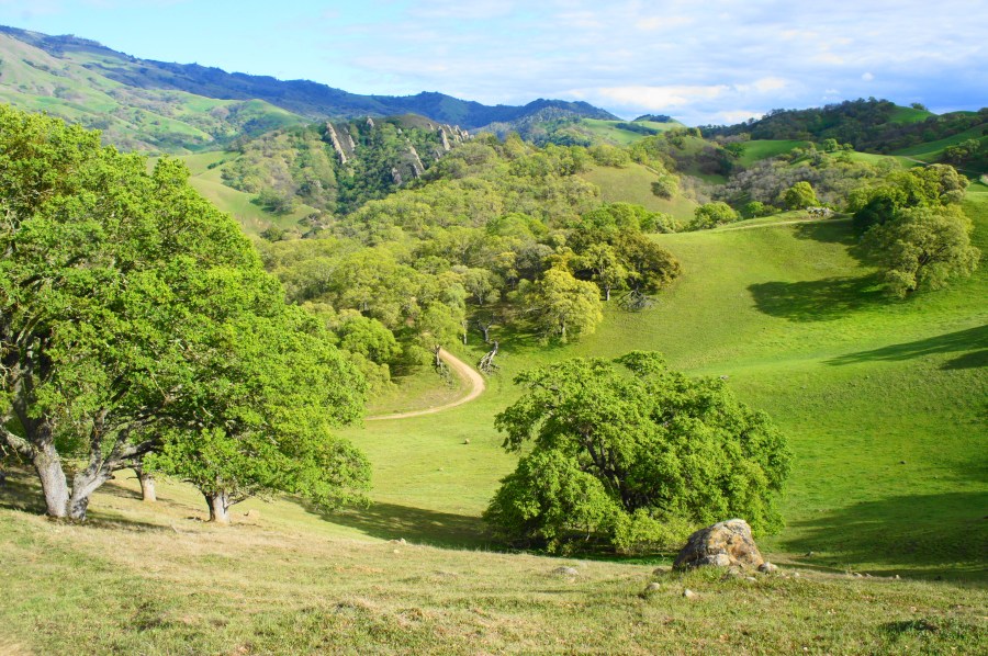
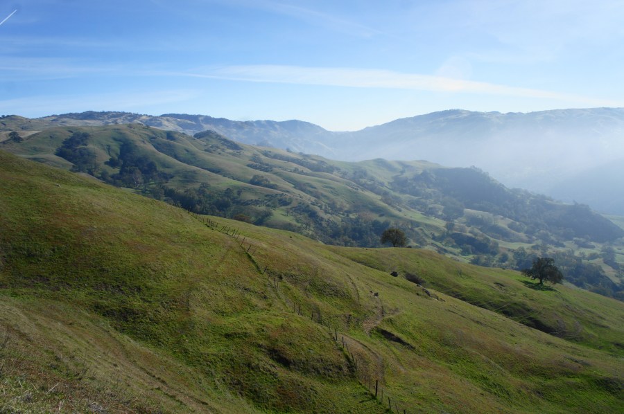
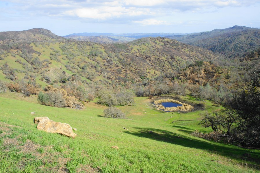
Twin Ponds Trail, Diablo Foothills Regional Park, March 2020 Covering a portion of a scenic hogback fanning out westward from Mount Diablo, Diablo Foothills Regional Park is—at 1,060 feet—relatively small and has only one peak that exceeds 1,000 feet. Yet, at least in winter and spring, the area is exceptionally picturesque. The terrific trail network, …

Continue reading Hikes in Diablo Foothills Regional Park

Hikes in Brushy Peak Regional Preserve

West Side Loop Trail, Brushy Peak Regional Preserve, January 2023 Brushy Peak Regional Preserve is set in the hills just below its namesake, a scrubby round top that rises above a largely treeless section of the Diablo Range in eastern Alameda County. The recovering pasture lands in the 1,979-acre park sure feel like the very …

Continue reading Hikes in Brushy Peak Regional Preserve

Cerro Este & Little Yosemite Loop (Sunol Regional Wilderness, CA)

Cerro Este Overlook, Sunol Regional Wilderness, December 2021 Spanning 6,859 acres of the northern Diablo Range, Sunol Regional Wilderness is a hiker’s paradise close to home in the East Bay, wedged between the massif of Mission Peak (2,517’) to the west and Ohlone Wilderness and Rose Peak (3,817’) to the east. This terrific loop hike …

Continue reading Cerro Este & Little Yosemite Loop (Sunol Regional Wilderness, CA)

Mount Diablo via Macedo Ranch (Mount Diablo State Park, CA)

Mother's Trail, Mount Diablo State Park, March 2021 Rising more than 3,000 feet above the valley floor, Mount Diablo (3,849’) is perhaps the most iconic peak in the East Bay, a behemoth for which the broader Diablo Range—which extends around 200 miles south into central California—is named. Most visitors reach the peak by way of …

Continue reading Mount Diablo via Macedo Ranch (Mount Diablo State Park, CA)

Kelly Lake, Coit Lake, and Pacheco Falls Loop (Henry W. Coe State Park, CA)

Pacheco Falls, Henry W. Coe State Park, March 2021 Central California’s Henry W. Coe State Park is a popular destination for Bay Area backpackers seeking to condition during the winter/spring season for trips to the Sierra Nevada later in the year. In fact, the terrain at Henry Coe is so rugged and challenging that it …

Continue reading Kelly Lake, Coit Lake, and Pacheco Falls Loop (Henry W. Coe State Park, CA)

Madrone Soda Springs – China Hole Loop (Henry W. Coe State Park, CA)

China Hole, Henry W. Coe State Park, March 2021 The second-largest state park in California, Henry Coe State Park spans 87,000 acres of rolling hillsides and stream valleys in the central Diablo Range. Most visitors stick to the “Western Zone,” accessed from the Coe Ranch Headquarters and Campground on Pine Ridge. A number of full-day …

Continue reading Madrone Soda Springs – China Hole Loop (Henry W. Coe State Park, CA)

Middle Ridge – Manzanita Point Loop (Henry W. Coe State Park, CA)

Middle Ridge Trail, Henry W. Coe State Park, March 2021 At 87,000 acres, Henry Coe State Park is the second largest state park in California and offers a beautiful landscape of rolling hills and woody ridges in the Diablo Range southeast of the Bay Area. Lacking any towering peaks, Henry Coe is nonetheless extremely rugged, …

Continue reading Middle Ridge – Manzanita Point Loop (Henry W. Coe State Park, CA)

Ridge Top – Indian Creek Trail Loop (Shell Ridge Open Space, CA)

Ridge Top Trail, Shell Ridge Open Space, February 2021 Winter and early spring is far and away the best time of year to hike in the East Bay, when temperatures are good and the rolling hillscapes—typically brown, dusty, and dry in summer—are lush and verdant. The jade-colored hues in springtime make the Diablo Foothills in …

Continue reading Ridge Top – Indian Creek Trail Loop (Shell Ridge Open Space, CA)