Moderate loop hike through redwood-covered Phleger Estate and Huddart County Park on the San Francisco Peninsula.


Moderate loop hike through redwood-covered Phleger Estate and Huddart County Park on the San Francisco Peninsula.

Beautiful loop hike in Diablo Foothills Regional Park, featuring rugged canyons, verdant hills, and shady ravines.

Sibley Volcanic Loop, Sibley Volcanic Regional Preserve, March 2020 Despite being located on the Ring of Fire, it is easy to forget California’s volcanic past. Beginning roughly 8-10 million years ago, what are now the Berkeley Hills of the East Bay were the epicenter of a series of volcanic eruptions that flooded the area with …
Continue reading Sibley Volcanic Loop (Sibley Volcanic Regional Preserve, CA)

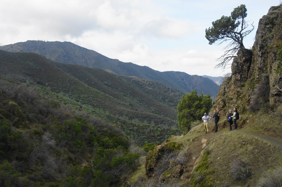
Excellent two- or three-day backpacking option in the East Bay, connecting Del Valle Regional Park with Mission Peak Regional Preserve.
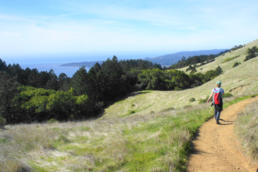
The Steep Ravine – Matt Davis Trail Loop in California’s Mount Tamalpais State Park is a longer and more popular variant of the Steep Ravine – Dipsea Trail Loop (described in an April 2015 post). Though not as expansive as the views along the upper reaches of Dipsea, the sunny seaside vistas from the Matt …
Continue reading Steep Ravine – Matt Davis Trail Loop (Mount Tamalpais State Park, CA)
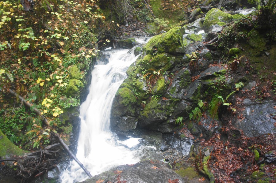
The East Bay, for all of its wonderful hiking, is not known for its waterfalls. Flowing streams, let alone tumbling cascades, are scarce amid the largely scrubby, chaparral hills that separate San Francisco Bay from California’s vast Central Valley. After springtime rains, however, there a handful of seasonal streams that come alive. One of the …
Continue reading Falls Trail Loop (Mount Diablo State Park, CA)
Towering above California’s wine country, Bald Mountain (2,729’) is the highest point in Sugarloaf Ridge State Park and one of the tallest peaks in the Mayacamas Mountains, a subset of the Coast Range in the North Bay. While the main draw of Sugarloaf Ridge is the nearby 25-foot seasonal waterfall, hearty hikers can trek to …
Continue reading Bald Mountain Loop (Sugarloaf Ridge State Park, CA)
2019 has come and gone, and it was an excellent year for hiking. Over the course of the year, I added 43 posts to Live and Let Hike and notched nearly 150,000 site visits (81,000 visitors). As always, the travel was diverse, spanning hikes and scenic drives from 13 states (plus the District of Columbia), …

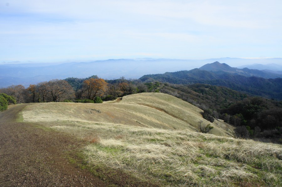
At 3,849 feet, Mount Diablo is one of the highest and most prominent peaks in the San Francisco Bay Area and perhaps the most well-known mountain in the East Bay. Taking its name from a linguistic accident in the early 19th century, this “Devil’s Mountain” makes for a very long and imposing climb for modern …
Continue reading Mount Diablo via Eagle Peak and Mitchell Canyon (Mount Diablo State Park, CA)
The redwood groves of Muir Woods National Monument, while lovely, have a people problem. Within a half-mile radius of the park’s tiny visitor center, there are scores and scores of visitors. Yet the western stretches of the park—or better yet, the areas belonging to Mount Tamalpais State Park that surround Muir Woods—solitude and wildness are …
Continue reading Ben Johnson-Bootjack Trail Loop (Muir Woods National Monument, CA)
