Buckeye – Cruikshank – Salmon Creek Trail Loop (Silver Peak Wilderness, CA)

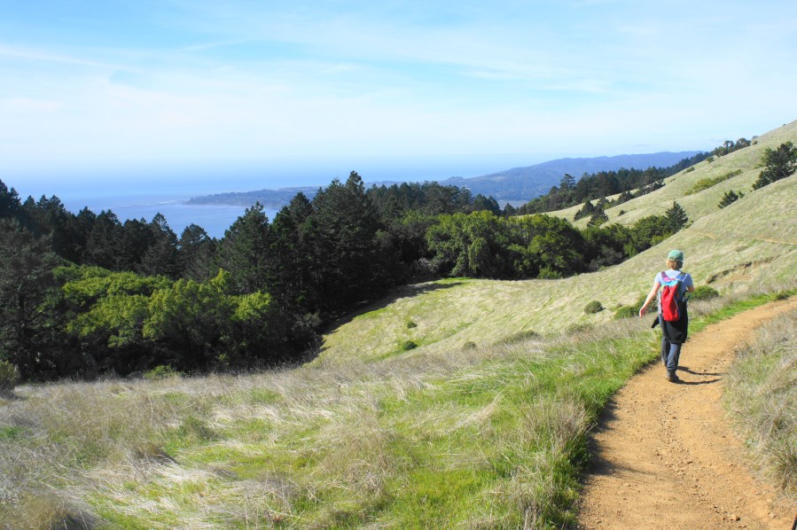
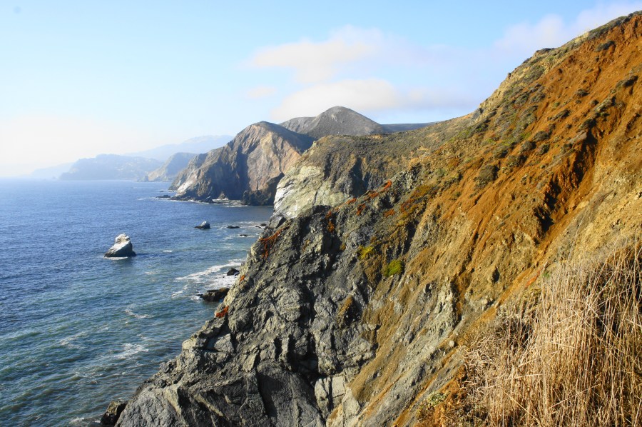
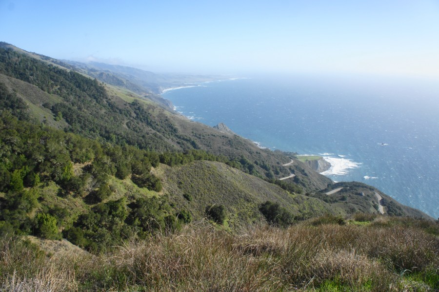
Upper Salmon Creek Falls, Silver Peak Wilderness, February 2021 The Silver Peak Wilderness covers 31,555 acres of the Santa Lucia Range along the central coast of California between Monterey and Cambria. Hikers can explore the heart of the wilderness area by combining the Buckeye, Cruikshank, and Salmon Creek Trails for a 15-mile circuit that covers …

Continue reading Buckeye – Cruikshank – Salmon Creek Trail Loop (Silver Peak Wilderness, CA)

Miner’s Ridge – James Irvine Trail Loop, including Gold Bluffs Beach and Fern Canyon (Prairie Creek Redwoods State Park, CA)

James Irvine Trail, Prairie Creek Redwoods State Park, January 2021 If ever there was a premier, unforgettable hike in northern California’s Redwood National Park, this is it. The Miner’s Ridge – James Irvine Trail Loop combines long stretches of spectacular redwood groves with a brief jaunt along the Pacific Ocean at Gold Bluffs Beach and …

Continue reading Miner’s Ridge – James Irvine Trail Loop, including Gold Bluffs Beach and Fern Canyon (Prairie Creek Redwoods State Park, CA)

Natural Bridges (Samuel H. Boardman State Scenic Corridor, OR)

Natural Bridges, Samuel H. Boardman State Scenic Corridor, January 2021 As if the secret beaches, spectacular cliffside vistas, and crashing waves of the Pacific Ocean were not enough, Samuel H. Boardman State Scenic Corridor on the southern Oregon coast also boasts a number of natural bridges—iconic archways carved by the sea. The Natural Bridges viewpoint—at …

Continue reading Natural Bridges (Samuel H. Boardman State Scenic Corridor, OR)

Indian Sands Loop (Samuel H. Boardman State Scenic Corridor, OR)

Indian Sands Loop, Samuel H. Boardman State Scenic Corridor, January 2021 The Indian Sands area, situated near the middle of Samuel H. Boardman State Scenic Corridor, is a collection of crisp, windswept dunes, towering headlands, and thundering coves along the southern Oregon coast. Starting and ending at the Indian Sands Trailhead (mile marker 348.6 on …

Continue reading Indian Sands Loop (Samuel H. Boardman State Scenic Corridor, OR)

Thunder Rock Cove Loop (Samuel H. Boardman State Scenic Corridor, OR)

Thunder Rock Cove Loop, Samuel H. Boardman State Scenic Corridor, January 2021 Southwest Oregon’s Samuel H. Boardman State Scenic Corridor features some of the finest stretches of shoreline on the Pacific coast of the United States, and the short-but-spectacular Thunder Rock Cove Loop traverses one of its most picturesque pockets. The brief circuit skirts towering …

Continue reading Thunder Rock Cove Loop (Samuel H. Boardman State Scenic Corridor, OR)

Cape Ferrelo Loop (Samuel H. Boardman State Scenic Corridor, OR)

Cape Ferrelo Loop, Samuel H. Boardman State Scenic Corridor, January 2021 For 296 miles, the restless Pacific Ocean laps up against the Oregon Coast, producing chilly beaches, windswept rock outcrops, and imposing sea stacks. While some more peaceful, wide-open beaches may be found further south in California, the word that best describes the Oregon seashore …

Continue reading Cape Ferrelo Loop (Samuel H. Boardman State Scenic Corridor, OR)

Steep Ravine – Matt Davis Trail Loop (Mount Tamalpais State Park, CA)

The Steep Ravine – Matt Davis Trail Loop in California’s Mount Tamalpais State Park is a longer and more popular variant of the Steep Ravine – Dipsea Trail Loop (described in an April 2015 post). Though not as expansive as the views along the upper reaches of Dipsea, the sunny seaside vistas from the Matt …

Continue reading Steep Ravine – Matt Davis Trail Loop (Mount Tamalpais State Park, CA)

Coastal Trail to Tennessee Point (Golden Gate National Recreation Area, CA)

Named for the SS Tennessee, a commercial steamer that wrecked nearby in 1853, Tennessee Point is one of the best vantage points overlooking the Pacific Ocean in Golden Gate National Recreation Area’s Marin Headlands area. A relatively easy hike leads to the popular vista, following a section of the California Coastal Trail before branching off …

Continue reading Coastal Trail to Tennessee Point (Golden Gate National Recreation Area, CA)

Point Bonita Lighthouse Trail (Golden Gate National Recreation Area, CA)

Throughout much of San Francisco’s history, ships seeking to enter the Bay Area flirted with disaster: jagged rocks, shallow beds, dense fog, and nasty waves left hundreds of vessels in the 19th and 20th centuries capsized, torn apart, and buried at the ocean floor. As thousands of gold prospectors—from all over the world—flocked to San …

Continue reading Point Bonita Lighthouse Trail (Golden Gate National Recreation Area, CA)

Coastal Trail – Lands End Section, including Mile Rock Beach (Golden Gate National Recreation Area, CA)

The windswept shoreline of Lands End forms the northwest tip of the San Francisco Peninsula and is easily accessible from northern California’s iconic cultural capital. For those looking for a brief urban escape, the Land’s End section of the Coastal Trail offers a surprisingly rugged hike through cypress groves and along rocky cliffs, with excellent …

Continue reading Coastal Trail – Lands End Section, including Mile Rock Beach (Golden Gate National Recreation Area, CA)